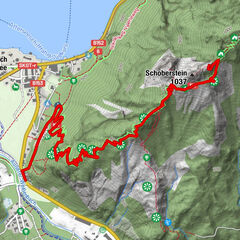
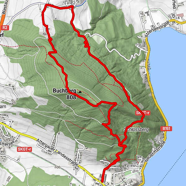
Tour data
7.99km
489
- 791m
366hm
367hm
02:16h
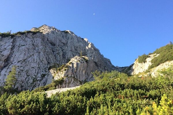
- Brief description
-
Etwas abgewandelte Buchbergrunde
- Difficulty
-
easy
- Rating
-
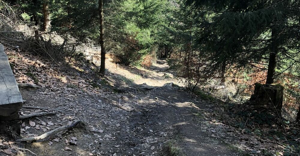
- Route
-
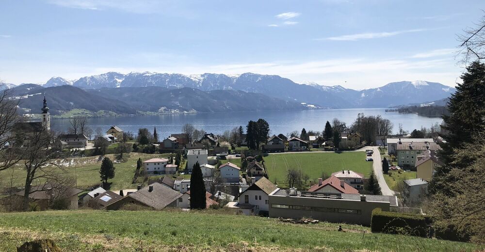
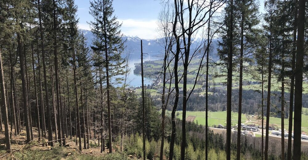
Attersee am AtterseeBuchberg (808 m)5.6 kmAttersee am Attersee7.9 km
- Best season
-
JanFebMarAprMayJunJulAugSepOctNovDec
- Highest point
- 791 m


GPS Downloads


Other tours in the regions