© TVB Mühlviertler Kernland
© TVB Mühlviertler Kernland
© TVB Mühlviertler Kernland
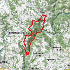
Tour data
13.07km
638
- 793m
125hm
174hm
03:30h

- Brief description
-
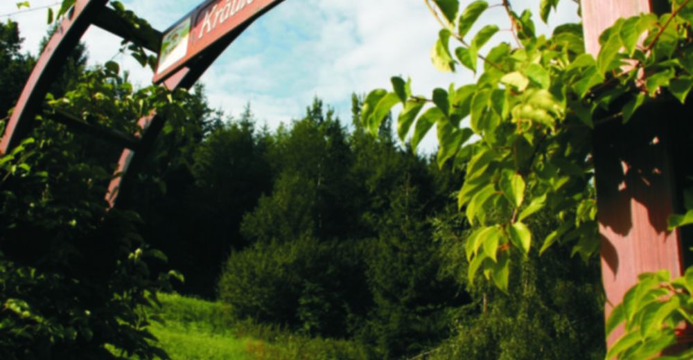
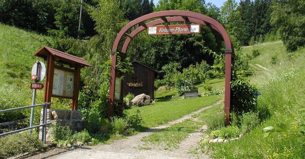
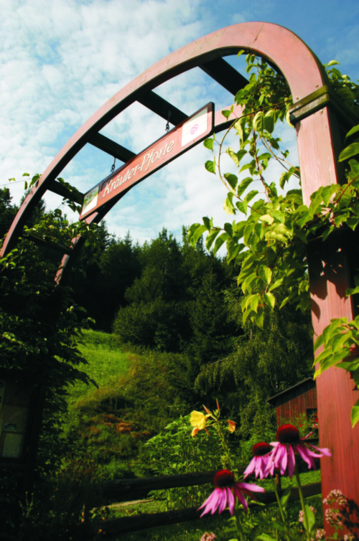
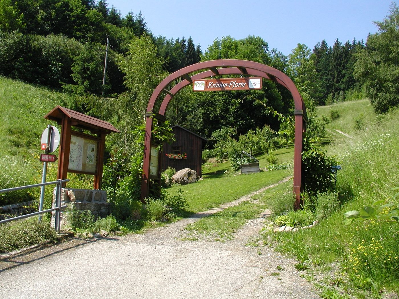
Genuss-Wandern mit allen Sinnen.
- Difficulty
-
medium
- Rating
-
- Starting point
-
Hirschbach Ort, oberhalb vom GH Freudenthaler
- Route
-
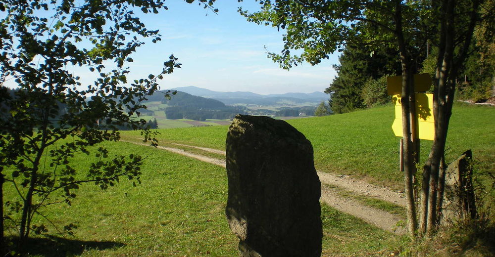
Hirschbach im MühlkreisKirchberg1.8 kmGuttenbrunn4.2 kmKulturwirtshaus Pammer4.3 kmThierberg6.3 kmOberdorf6.9 kmHirschbach im Mühlkreis12.9 km
- Best season
-
JanFebMarAprMayJunJulAugSepOctNovDec
- Highest point
- 793 m
- Rest/Retreat
-
Gastronomie im Ort
GPS Downloads


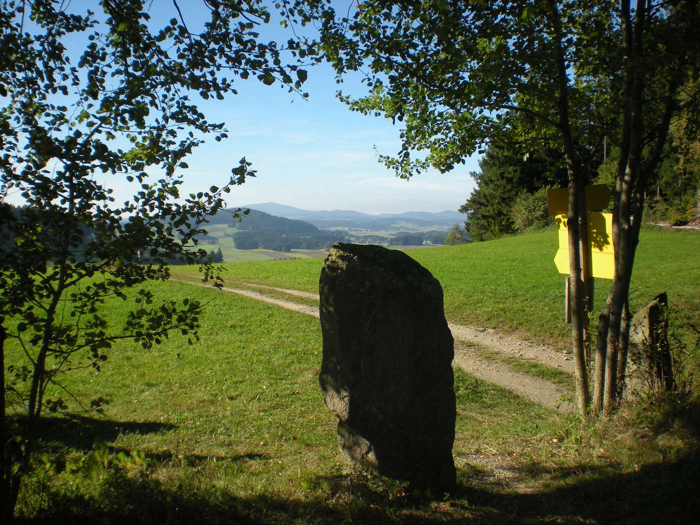
Trail conditions
Asphalt
Gravel
Meadow
Forest
Rock
Exposed
Other tours in the regions
-
Mühlviertel
1781
-
Mühlviertler Sterngartl
1063
-
Hirschbach im Mühlkreis
358