© TV Nationalpark Region Ennstal

© TV Nationalpark Region Ennstal

- Brief description
-
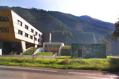
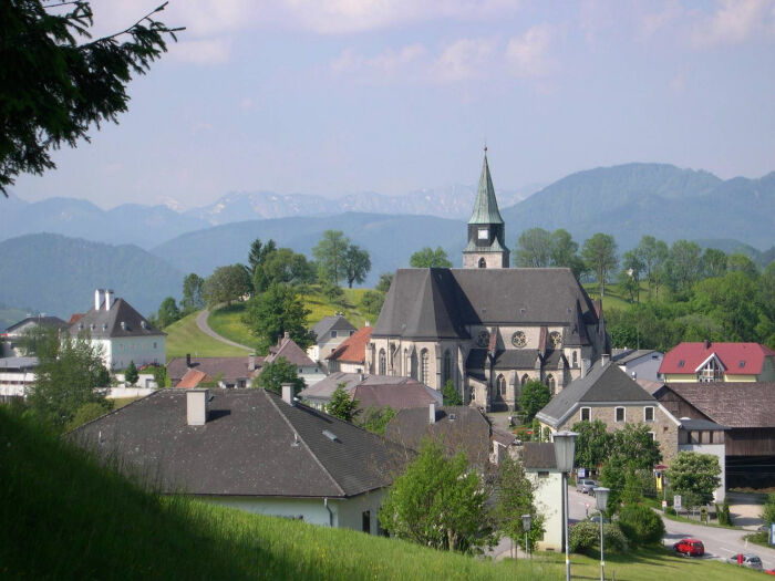
The start of this tour is at the Ennstal National Park Visitor Center - from here the route leads in the direction of Großraming. At the traffic circle, take the second exit and drive through the Neustiftgraben to Maria Neustift and continue on the Steyrerstrasse and the Ramingtalstrasse through the Ramingtal to Kleinraming and Steyr.
- Difficulty
-
medium
- Rating
-
- Route
-
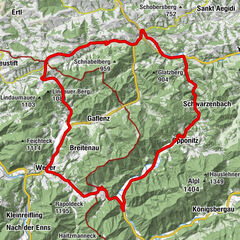
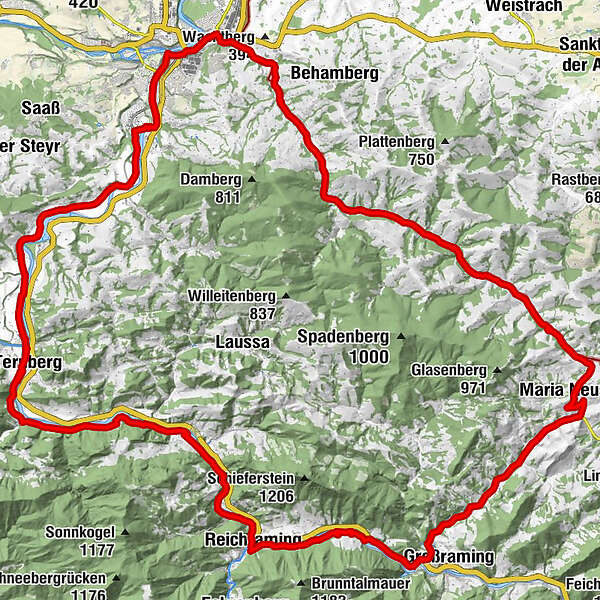
Ennstalerhof2.0 kmReingrub2.8 kmd'Walleiten7.7 kmGasthaus Schaupp12.1 kmMaria Neustift12.2 kmKirche Maria Neustift12.2 kmGasthaus Großbichler zur Roisentaverne12.3 kmGasthaus Derfler18.1 kmSulzbach18.2 kmHausmann25.3 kmKleinraming27.3 kmLandgasthof Froschauer27.3 kmPenz28.6 kmGasthof zur Linde29.0 kmFischhub34.3 kmEnnsdorf35.7 kmZwischenbrücken36.0 kmSteyr (310 m)36.3 kmMarienkirche36.4 kmInnere Stadt36.5 kmNeutor36.6 kmNeuschönau37.0 kmPyrach37.6 kmKraxental37.7 kmGarsten39.2 kmGarstnerfeld39.9 kmSand41.8 kmLahrndorf43.8 kmWirtshaus zur Gerti47.3 kmFaller Wasserfall47.9 kmTernberg51.5 kmTrattenbach54.5 kmLosenstein60.8 kmLosenstein61.4 kmGasthaus Aglas66.5 kmReichraming66.6 kmPfarrkirche Reichraming66.7 kmHeinzl71.6 kmGasthaus zur Gemütlichen Wirtin72.5 km
- Best season
-
JanFebMarAprMayJunJulAugSepOctNovDec
- Description
-
In Steyr drive a piece on the Haratzmüllerstraße, after about 1.3 km the path branches off to the right to the Enns and from there via the Bahnhofstraße to the Ennskai. Follow this road until you reach the Unterer Schiffweg. The route continues along the Enns to the Garsten power station and from there along the Enns Cycle Path via Ternberg/Trattenbach - Losenstein and Reichraming back to the starting point.
Translated with www.DeepL.com/Translator (free version)
- Directions
-
In Steyr drive a piece on the Haratzmüllerstraße, after about 1.3 km the path branches off to the right to the Enns and from there via the Bahnhofstraße to the Ennskai. Follow this road until you reach the Unterer Schiffweg. The route continues along the Enns to the Garsten power station and from there along the Enns Cycle Path via Ternberg/Trattenbach - Losenstein and Reichraming back to the starting point.
Translated with www.DeepL.com/Translator (free version)
- Highest point
- 609 m
- Height profile
-

- Equipment
-
Sun and rain protection, repair kid for minor bike breakdowns.
- Safety instructions
-
Check in advance for any bike or road closures along the route.
- Additional information
-
You can obtain up-to-date map material at www.steyr-nationalpark.at

- Author
-
The tour Road bike tour - Neustiftrunde is used by outdooractive.com provided.
GPS Downloads


General info
Refreshment stop
Other tours in the regions