© Helga Baier

- Brief description
-
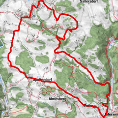
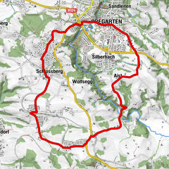
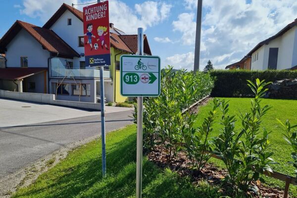
Route: Reichenau - Affenberg - Wintersdorf - Helmetzedt - Ottenschlag - Lichtenstein - Rohrbach - Ramberg - Glashütten - Rodltal - Dreiegg - Reichenau
- Difficulty
-
medium
- Rating
-
- Route
-
Reichenau im MühlkreisLa BellaLandgasthof Seyrlberg0.3 kmWintersdorf6.0 kmHelmetzedt9.1 kmOttenschlag im Mühlkreis11.8 kmLichtenstein16.3 kmSchild17.2 kmRohrbach19.9 kmRamberg20.8 kmReichenau im Mühlkreis21.1 kmLa Bella21.2 kmWaldkapelle "Maria, Königin des Friedens"24.9 kmOberdreiegg28.2 kmUnterdreiegg29.2 kmGlashütten32.1 kmRamberg36.0 kmReichenau im Mühlkreis36.7 kmLa Bella36.9 km
- Best season
-
JanFebMarAprMayJunJulAugSepOctNovDec
- Description
-
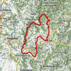
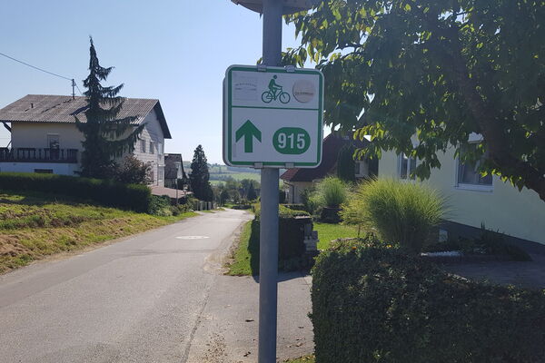
Marking: with the number S24
Map download: S24 Hoch² - Runde - Highest point
- 846 m
- Height profile
-

- Additional information

- Author
-
The tour S24 Hoch² - Runde is used by outdooractive.com provided.
GPS Downloads


Other tours in the regions