© Oberösterreich Tourismus GmbH/Moritz Ablinger - Moritz Ablinger
- Brief description
-
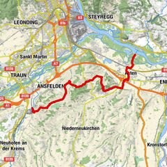
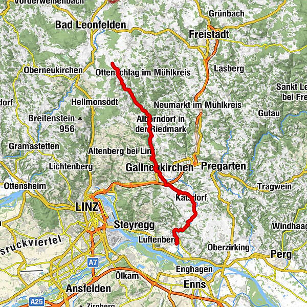
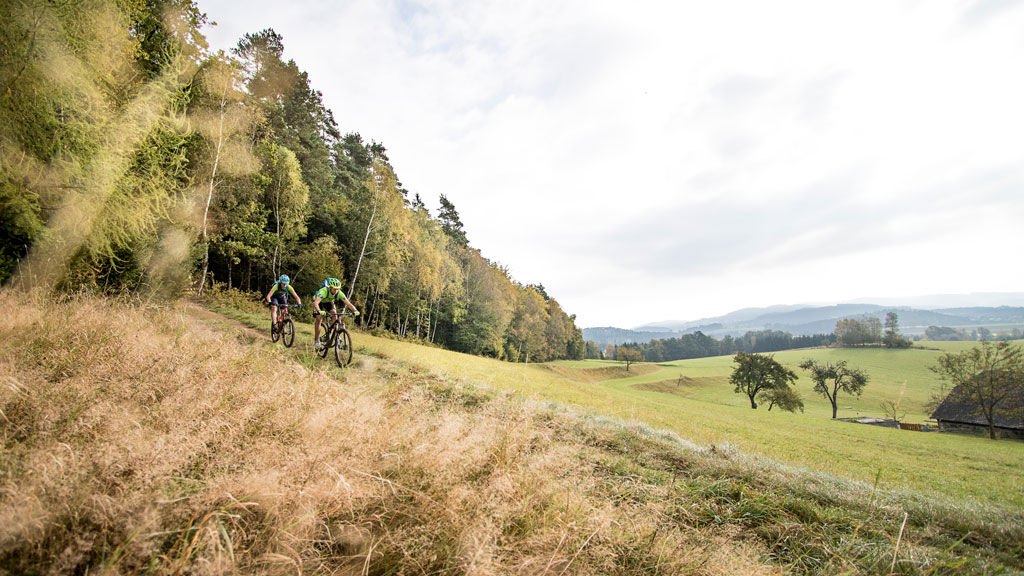
The Gusental Bike Path is a route that takes you from north to south through the Mühlviertel.
- Difficulty
-
medium
- Rating
-
- Route
-
Sankt Georgen an der Gusen (262 m)0.8 kmSchörgendorf5.5 kmEdtsdorf7.0 kmKatsdorf (306 m)8.6 kmSportunion Katsdorf9.2 kmPestsäule Baßgeige9.9 kmBach10.4 kmKlendorf11.2 kmLangwiesen12.8 kmPlank13.8 kmSchweinbach14.2 kmGallneukirchen15.7 kmEvangelisches Pfarramt15.8 kmRiedegg18.9 kmKlamleiten22.8 kmLa Bella31.3 kmReichenau im Mühlkreis31.4 kmRamberg32.1 kmZeil32.8 km
- Best season
-
JanFebMarAprMayJunJulAugSepOctNovDec
- Description
-
The starting point is on the Grenzland Bike Path near Reichenau in the Mühlkreis. Now you let your bike roll towards the south through the landscape characterised by granite. After passing Gallneukirchen and Engerwitzdorf, you are close to your destination. In St Georgen an der Gusen, the Gusental Bike Path finally merges with the Danube Bike Path.
Designation: R28 (Within the network of national bike paths in Upper Austria) - Highest point
- 761 m
- Height profile
-

- Additional information
- Directions
-
By car:
Motorway Linz - B 126 - Hellmonsödt - Reichenau
By bus:
Bundesbus from Linz
- Author
-
The tour Gusental cycle path R28 is used by outdooractive.com provided.
GPS Downloads


General info
Refreshment stop
Other tours in the regions
-
Mühlviertel
217
-
Mühlviertler Sterngartl
144
-
Gallneukirchen
33