© Mühlviertler Hochland
- Brief description
-
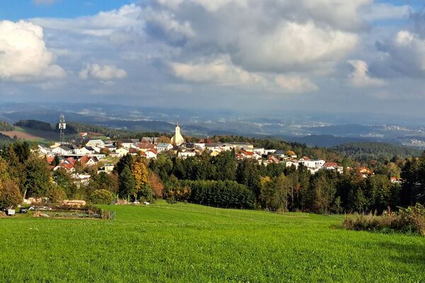
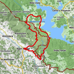
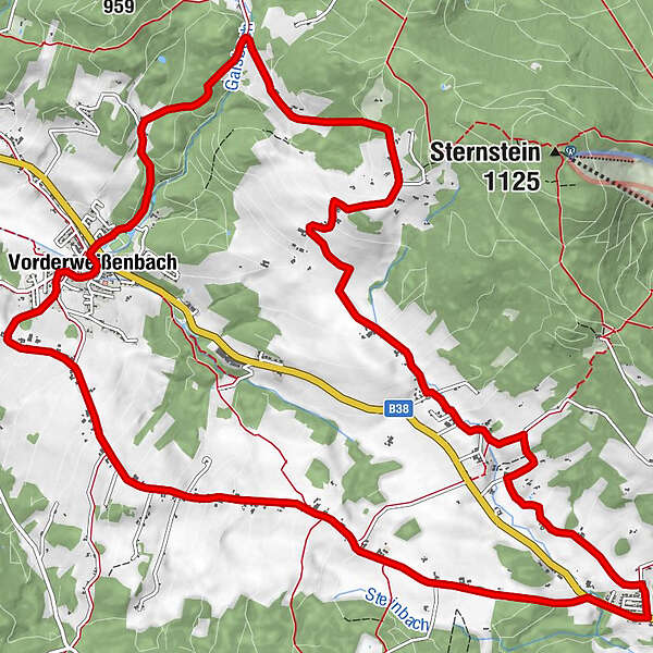
Route: City tour Bad Leonfelden - Ortschlag - Bernhardschlag - Stumpten - Vorderweißenbach - Kohlbach - Gaisschlag - Eberhardschlag - Amesschlag - Amesberg - City tour Bad Leonfelden
- Difficulty
-
medium
- Rating
-
- Route
-
Ortschlag1.4 kmBernhardschlag3.2 kmSchmankerlwirt6.7 kmVorderweißenbach6.8 kmBräugasthof Mascher6.9 kmKirche Vorderweißenbach6.9 kmGaisschlag10.1 kmEberhardschlag12.5 kmAmesschlag14.4 kmAmesberg15.9 km
- Best season
-
JanFebMarAprMayJunJulAugSepOctNovDec
- Description
-
Marking: orange with the number S5
Underground: 95% asphalt, 5% gravel
Map download: S5 Vorderweißenbacher Round - Highest point
- 942 m
- Height profile
-

- Additional information

- Author
-
The tour S5 Vorderweißenbacher Round is used by outdooractive.com provided.
GPS Downloads


Other tours in the regions
-
Mühlviertel
215
-
Mühlviertler Hochland
122
-
Vorderweißenbach
53