© TV Nationalpark Region Ennstal - Christoph Steinweg

- Brief description
-
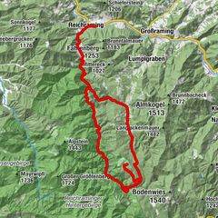
Parkplatz Weißenbach -Geisshanslniedern - Hausbach - links Boddinggraben - Messerer Häusl links - Ebenforstalm - Widen Graben - Parkplatz Weißenbach
- Difficulty
-
difficult
- Rating
-
- Starting point
-
Parkplatz Weißenbach
- Route
-
Weißenbachkapelle0.7 kmGeißhanslniedern (934 m)7.4 kmJaidhaus17.3 kmEbenforstalm30.0 kmKlaushütte39.2 km
- Best season
-
JanFebMarAprMayJunJulAugSepOctNovDec
- Description
-
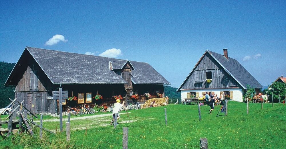
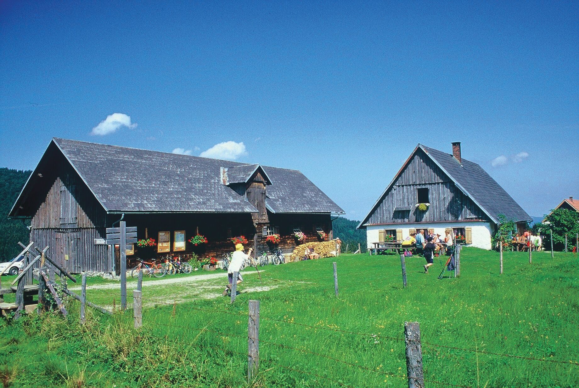
The tour starts at the parking lot Weißenbach and leads as the first climb up to the Geisshanslniedern. Then it goes downhill into the Hausbach. At the bottom, turn left in the direction of Bodinggraben. At the Messerer Häusl turn left towards Ebenforstalm. The second mountain climb begins and leads up to the Ebenforstalm. After a leisurely stop for refreshments, the trail only continues downhill through the Hintergebirge mountains via the Wilden Graben and finally along the Großer Bach stream back to the starting point.
Translated with www.DeepL.com/Translator (free version)
- Directions
-
The tour starts at the parking lot Weißenbach and leads as the first climb up to the Geisshanslniedern. Then it goes downhill into the Hausbach. At the bottom, turn left in the direction of Bodinggraben. At the Messerer Häusl turn left towards Ebenforstalm. The second mountain climb begins and leads up to the Ebenforstalm. After a leisurely stop for refreshments, the trail only continues downhill through the Hintergebirge mountains via the Wilden Graben and finally along the Großer Bach stream back to the starting point.
Translated with www.DeepL.com/Translator (free version)
- Highest point
- 1,157 m
- Endpoint
-
Parkplatz Weißenbach
- Height profile
-

- Equipment
-
Sun and rain protection, repair kit for minor bike breakdowns.
- Safety instructions
-
Find out in advance about any road closures along the bike route and www.steyr-nationalpark.at.
- Additional information
-
You can obtain map material at www.steyr-nationalpark.at
- Author
-
The tour Ebenforstalm - Round tour is used by outdooractive.com provided.
GPS Downloads


Other tours in the regions