Trans National Park Stage 01 Into the Kalkalpen National Park


- Brief description
-
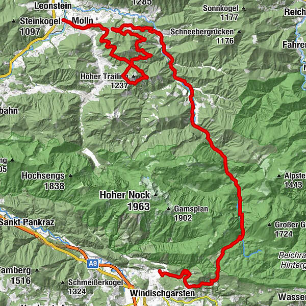
Leonstein/Molln – Annasberg/Trailing – Breitenau – Bodinggraben – Steyrsteg – Haslersgatter Salzatal – Windischgarsten
- Difficulty
-
difficult
- Rating
-
- Starting point
-
Molln/Leonstein
- Route
-
Pizzeria Restaurant Dolce Vita - Stefaniebrücke0.6 kmMolln (442 m)1.6 kmWirt im Dorf1.7 kmBreitenau24.8 kmJaidhaus30.0 kmJagahäusl38.3 kmSteyrsteg43.0 kmBannholzhütte (650 m)52.8 km
- Best season
-
JanFebMarAprMayJunJulAugSepOctNovDec
- Description
-
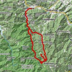
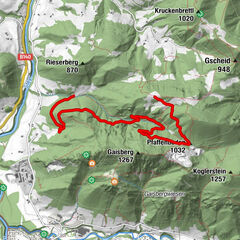
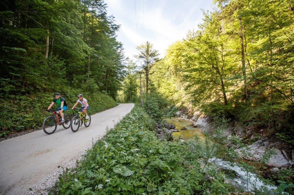
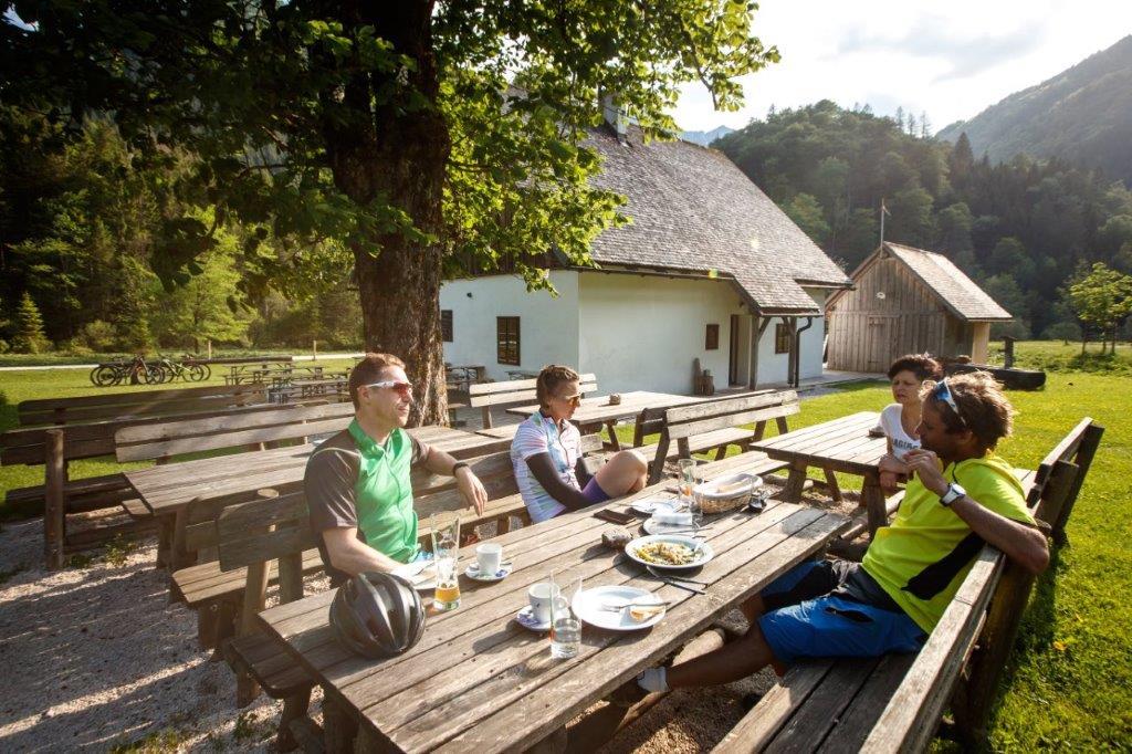
This stage leads through Molln over the idyllic Bodinggraben to Windischgarsten.
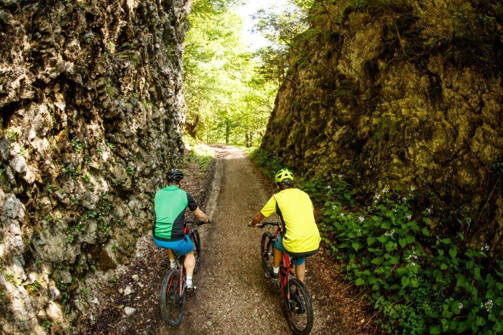
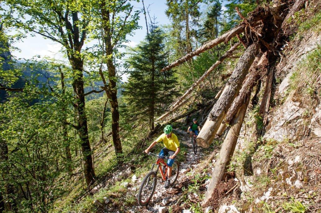
Here you will find the only single trail piece of the whole tour. A detour to the panorama tower Wurbauerkogel is worthwhile.
- Directions
-
Start in the village of Molln after 2KM turn right uphill towards Steinköpfl - round Anansberg / Trailing
- farm on the right, continue along field paths / goods road via Reitern into Breitenau: Tip: Visit Breitenau church
- flat route into the valley past lush meadows along the Krumme Steyrling on asphalt / gravel into the Bodinggraben National Park Kalkalpen core zone
- past the Jagahäusl (refreshment stop) after 500m turn left over the Steyrsteg (push trail - single trail / old Karenweg connection Steyrtal/Garstnertal) up to the Rumpelmayrreith Alm to the Haslersgatter (origin of the Krumme Steyrling).
At the beginning on a gravel road downhill towards the Wurbauerkogel (refreshment stop, panorama tower), turn right and continue through the idyllic Salzatal past the National Park Lodge Villa Sonnwend to Windischgarsten.
- Highest point
- 1,155 m
- Endpoint
-
Windischgarsten
- Height profile
-

- Equipment
-
A first aid kit is included in the rucksack as well as a mobile phone (Euro-emergency call 112), a repair kit, warming clothes, rain protection, light and sufficient food and drink.
Gloves and glasses protect hands and eyes.
Maps or GPS are valuable orientation aids.
Uphill and downhill always wear a helmet!
- Safety instructions
-
Fair-Play- Rules for mountain bikers
Mountain biking is an exciting sport and nature experience! It can quickly happen that you forget everything around you. But be careful, you are not alone on the trails! A sensible and considerate riding style is a guarantee for a safe and accident-free mountain biking experience. A few simple rules help to avoid conflicts in the first place
Cycling and mountain biking in the National Park area is only allowed in the period from 15 April to 31 October 2 hours after sunrise to 1 hour before sunset!
Exception is the Langfirst mountain bike trail, here the biking season only starts on June 1st.
Riding is only allowed on the approved and marked paths! Driving bans and closures also apply to mountain bikers.Attention to other nature users! Approach hikers or riders slowly and use your bell if necessary.
Avoid unnecessary noise and show consideration for the animals. This also includes riding only in daylight.
Mountain bikers are guests in the forest - behave accordingly respectfully towards landowners, foresters and hunters. The approach to grazing animals should be at walking pace to avoid panic reactions of the animals. Important - After passing through, all pasture gates must be closed!
Leave nature as you would like to find it yourself - without litter, this belongs in the trash can.On all mountain bike routes the road traffic regulations (StVO) apply. Always ride responsibly and with foresight. The bike must be technically perfect and equipped accordingly (brakes, lights, bell).
- Tips
-
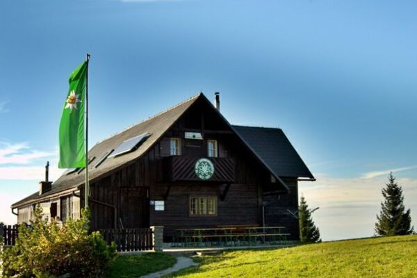
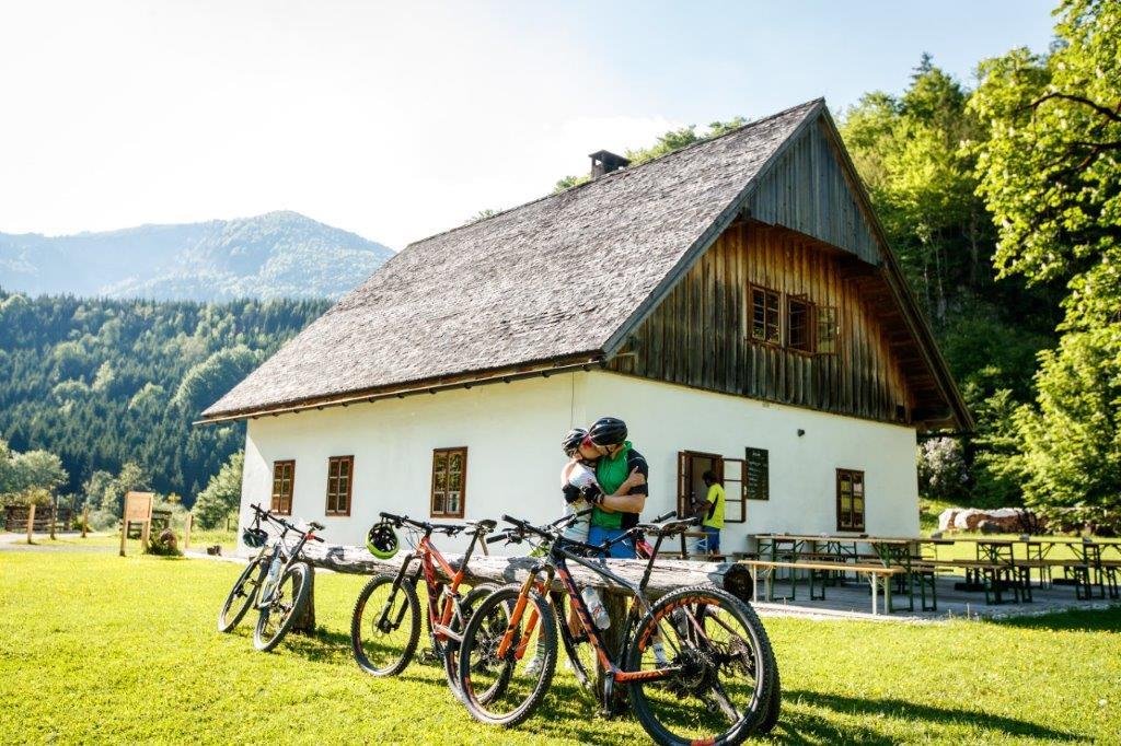
Highlights of the stage: Lamberg's forester's lodge in the Bodinggraben,
Steyrsteg trail, bivouac site with fireplace,
Wurbauerkogel panorama tower
- Additional information
-
http://www.transnationalpark.at/
Tour-Reportage: https://bikeboard.at/Board/showthread.php?233778-Trans-Nationalpark&p=2736676
Bike-Karte bestellen: https://www.transnationalpark.at/news/bikekarte-zur-trans-nationalpark/
- Directions
-
Entry points:
Losenstein/Ennstal: Losenstein/Familengasthof Blasl
Molln/Steyrtal: Public parking at the Ramllift, opposite the ÖBF Forstbetrieb Steyrtal
Spital am Pyhrn: indoor swimming pool
St. Gallen/Gesäuse: Public parking lot at the statue for ski world champion Karin BuderAdmont
Gesäuse: Hotel Spirodom
- Public transportation
-
www.oebb.at
www.busbahnbim.at
- Parking
-
Entry points:
Losenstein/Ennstal: Losenstein/Familengasthof Blasl
Molln/Steyrtal: Public parking at the Ramllift, opposite the ÖBF Forstbetrieb Steyrtal
Spital am Pyhrn: indoor swimming pool
St. Gallen/Gesäuse: Public parking lot at the statue for ski world champion Karin BuderAdmont
Gesäuse: Hotel Spirodom


-

-
AuthorThe tour Trans National Park Stage 01 Into the Kalkalpen National Park is used by outdooractive.com provided.


General info
-
Traunviertel
141
-
Steyr und die Nationalpark Region
116
-
Molln
44