© Verein Mühlviertler Granitland

- Rating
-
- Route
-
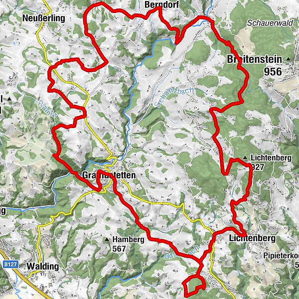
Gasthaus zur Gis3.2 kmLichtenberg6.9 kmLandgasthaus Holzpoldl8.0 kmNeulichtenberg8.1 kmKoglerauer Spitz (685 m)10.9 kmKöglerhof11.3 kmAmberg14.6 kmGramastetten17.7 kmKirchenwirt18.0 kmPizzeria Restaurant Leone18.0 kmLichtenhag19.0 kmAsenbaum25.1 kmHofing30.7 kmBerndorfer Kapelle33.5 kmBerndorf33.6 kmWasserwirt36.9 kmUntergeng37.2 kmSeminarhotel Gasthof Pension Eidenberger Alm42.2 km
- Best season
-
JanFebMarAprMayJunJulAugSepOctNovDec
- Description
-
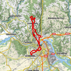
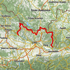
The tour starts at the Eidenberger Alm, but you can get on at any point along the route.
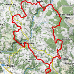
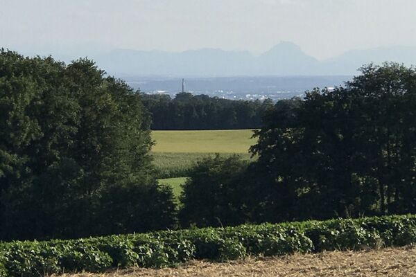
Right at the beginning you reach the highest point of the route, the GIS, where you are rewarded with a magnificent panoramic view over Upper Austria and western Lower Austria to the Alps. The route continues via Lichtenberg to Koglerau with its beautiful view of the Danube, just a short detour from the route (about 30m). The loop continues to Gramastetten, from there to the Rodltal and along the Ranitzbach. The Mühlviertel hills, up and down, so you reach Untergeng, from where it rises again to the Eidenberger Alm continuously.
There are refreshment stops along the route or at the Eidenberger Alm.
- Highest point
- 883 m
- Height profile
-


- Author
-
The tour MTB - Eidenberger Alm circuit is used by outdooractive.com provided.
GPS Downloads


General info
Refreshment stop
A lot of view
Other tours in the regions
-
Mühlviertel
194
-
Linz & Region Linz
95
-
Eidenberg
39