© Nationalpark Kalkalpen - <a href="http://www.kalkalpen.at">Nationalpark Kalkalpen</a>

© Nationalpark Kalkalpen - <a href="http://www.kalkalpen.at">Nationalpark Kalkalpen</a>

© Nationalpark Kalkalpen/Rieder - <a href="http://www.kalkalpen.at">Nationalpark Kalkalpen</a>

© Alpenverein Linz - Karl Linecker


- Brief description
-
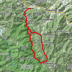
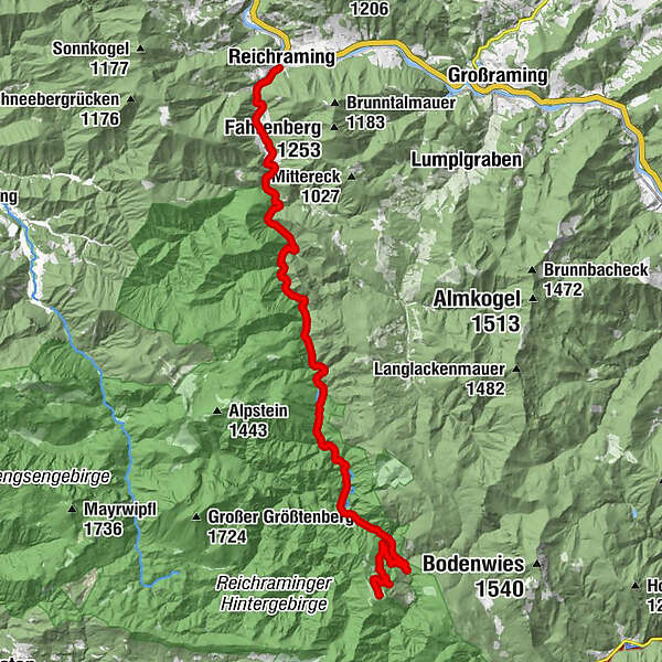
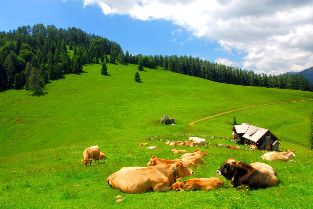
Ortsplatz Reichraming - Anzenbach - Große Klaushütte - Biwakplatz - Blahbergalm
- Difficulty
-
medium
- Rating
-
- Route
-
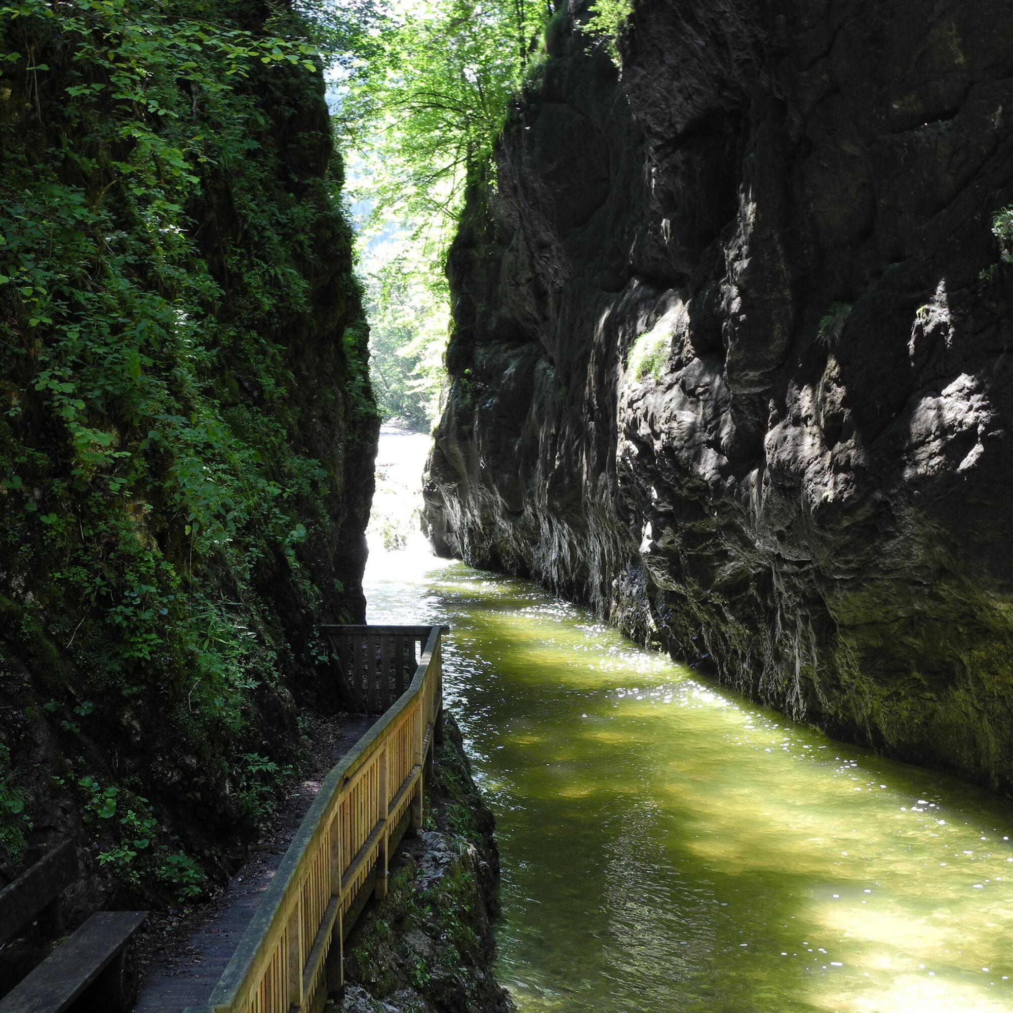
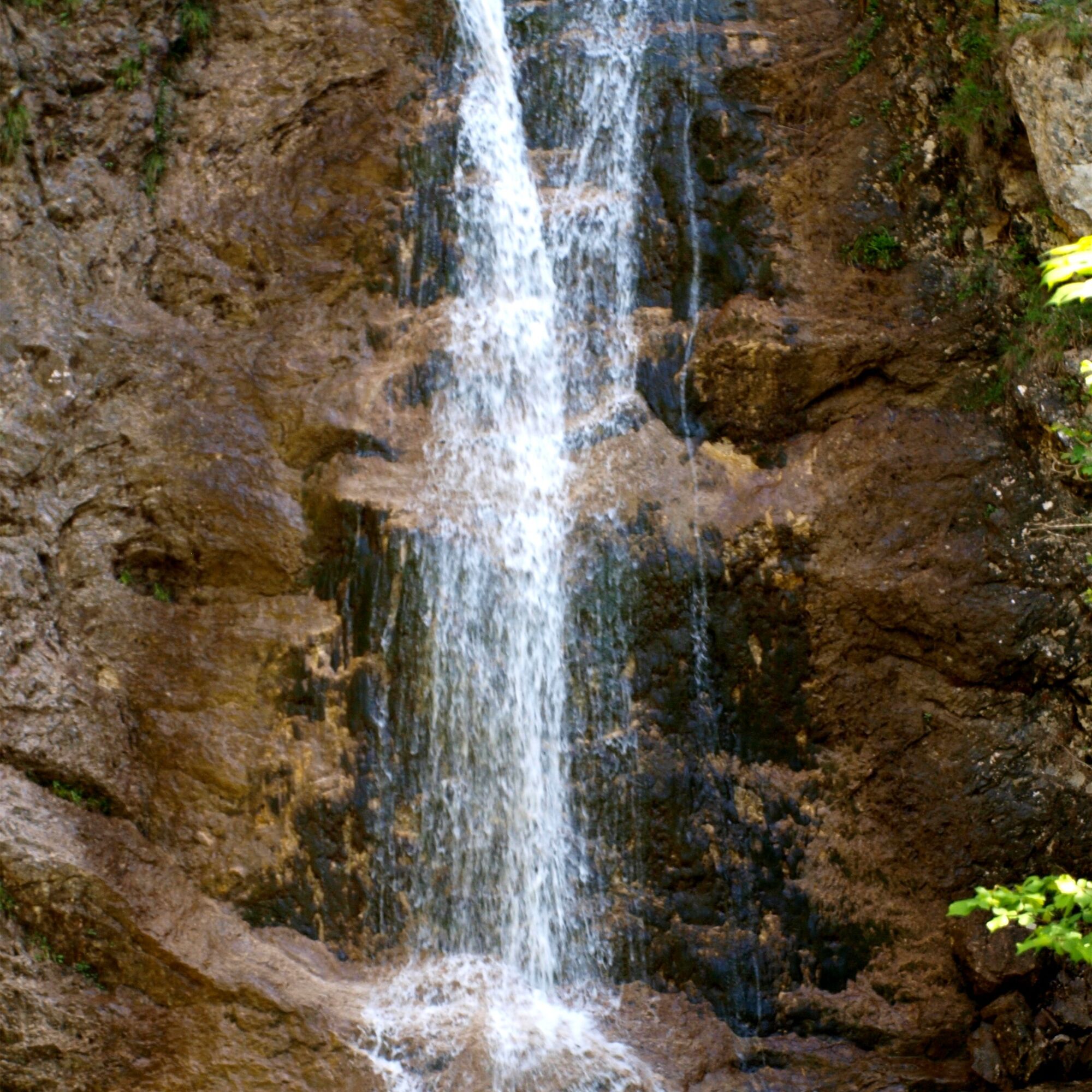
ReichramingGroße Klause13.4 kmSchleierfall18.5 kmWeißwasser21.3 kmSchneckengraben22.1 kmBlahbergalm25.6 km
- Best season
-
JanFebMarAprMayJunJulAugSepOctNovDec
- Highest point
- 1,038 m
- Endpoint
-
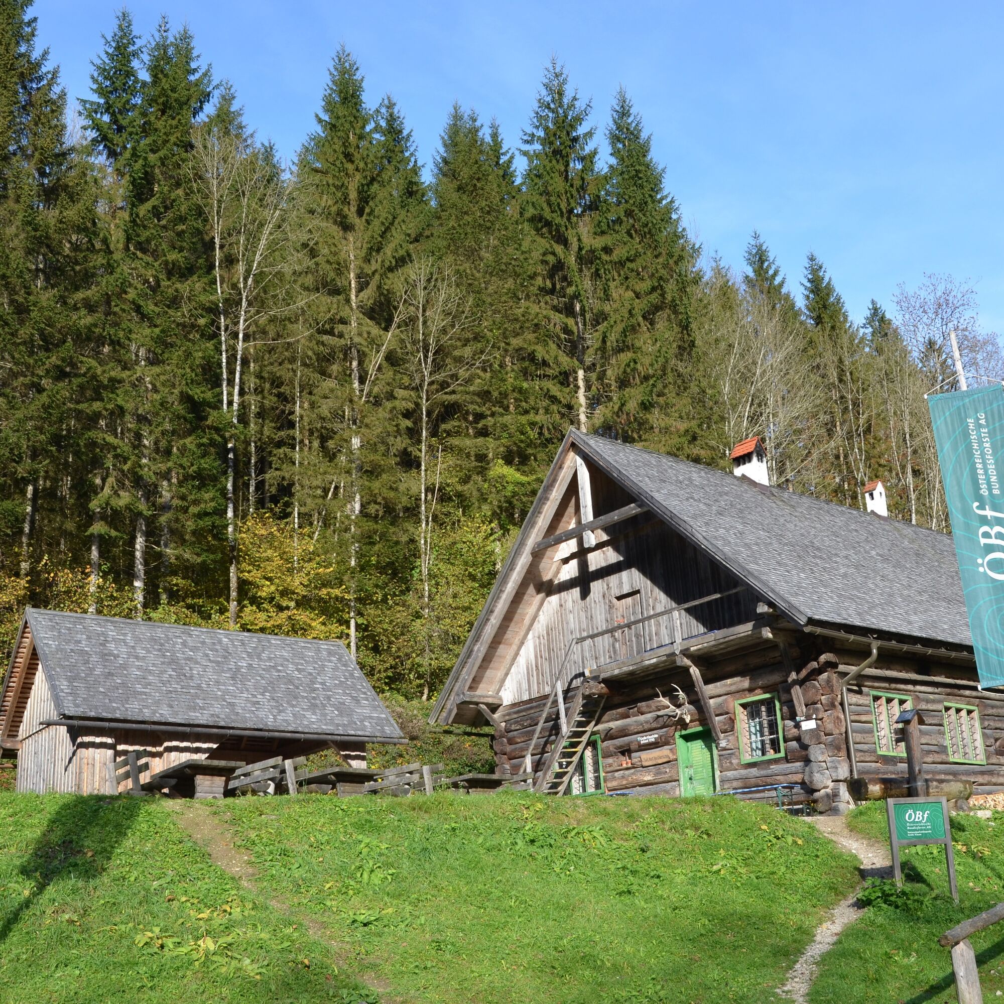
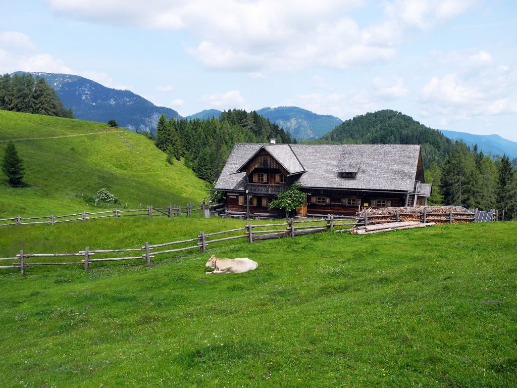
Blahbergalm
- Height profile
-

- Author
-
The tour Blahbergalm ab Reichraming, Radtour is used by outdooractive.com provided.
GPS Downloads


General info
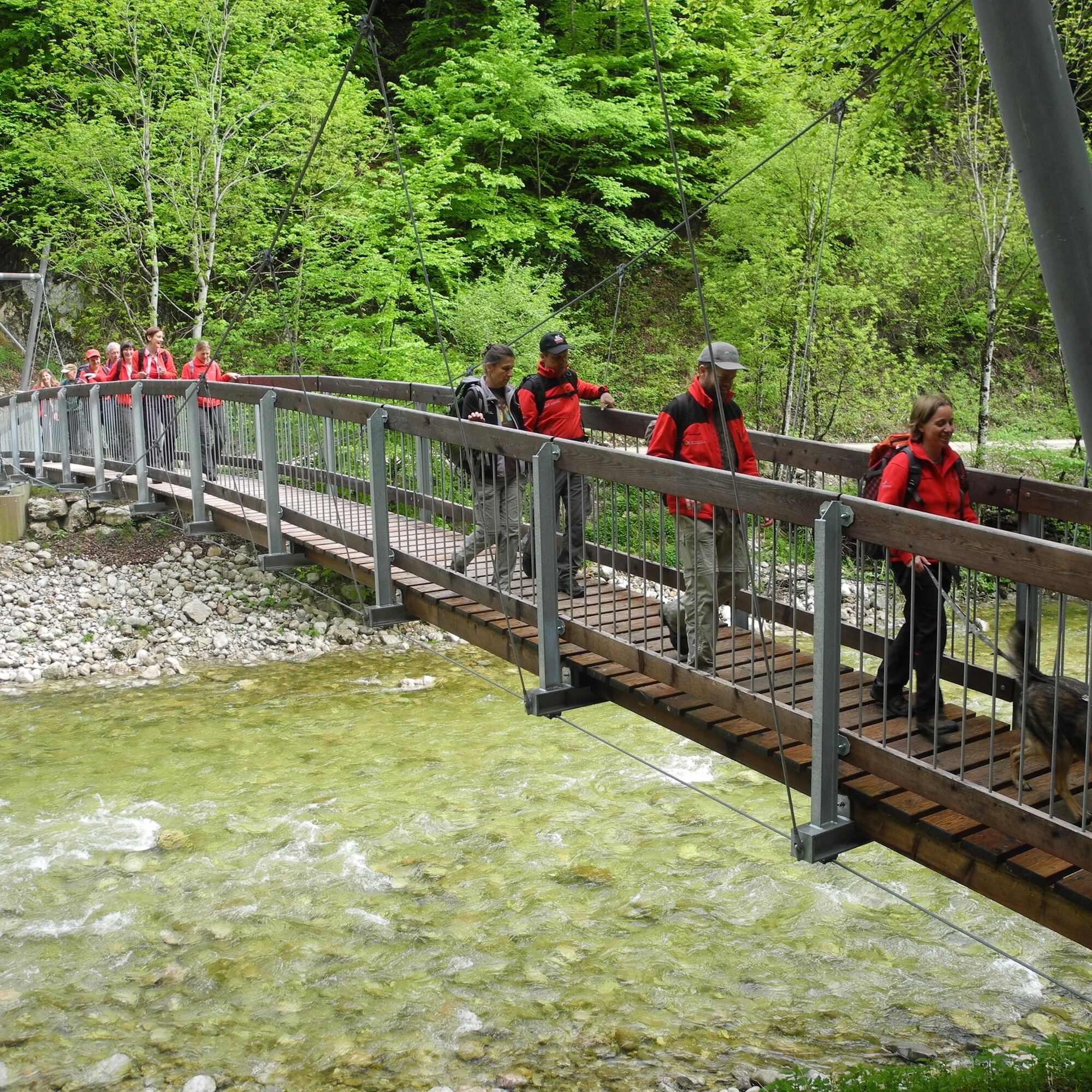
Refreshment stop
Flora
Other tours in the regions