Around the Bischofsmütze mountain - stage 3


- Brief description
-
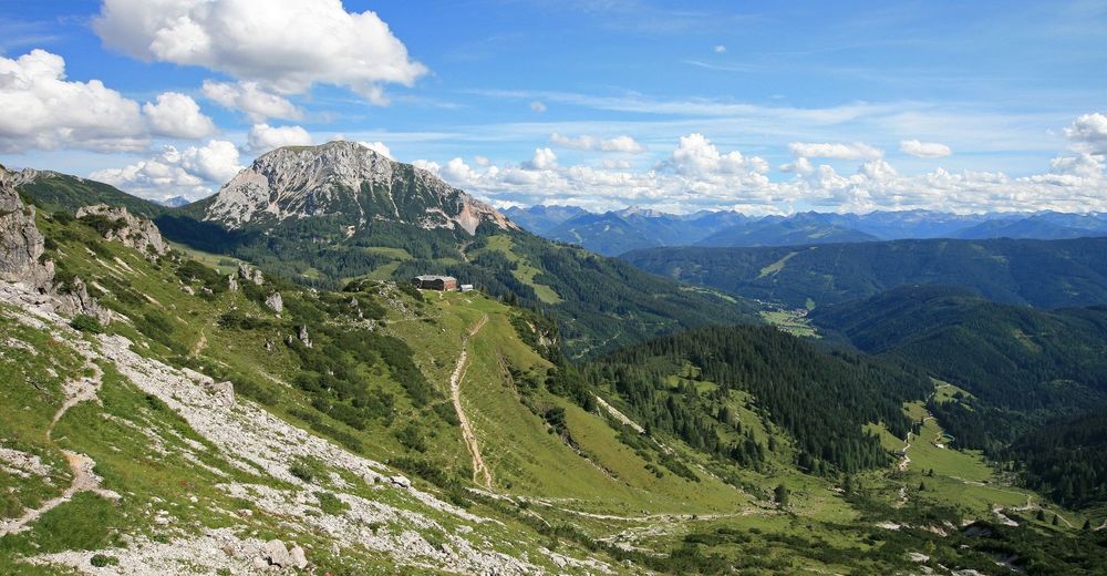
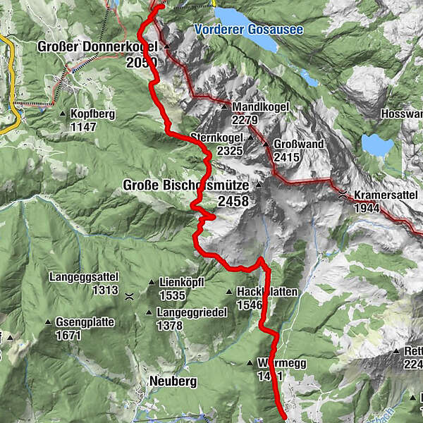
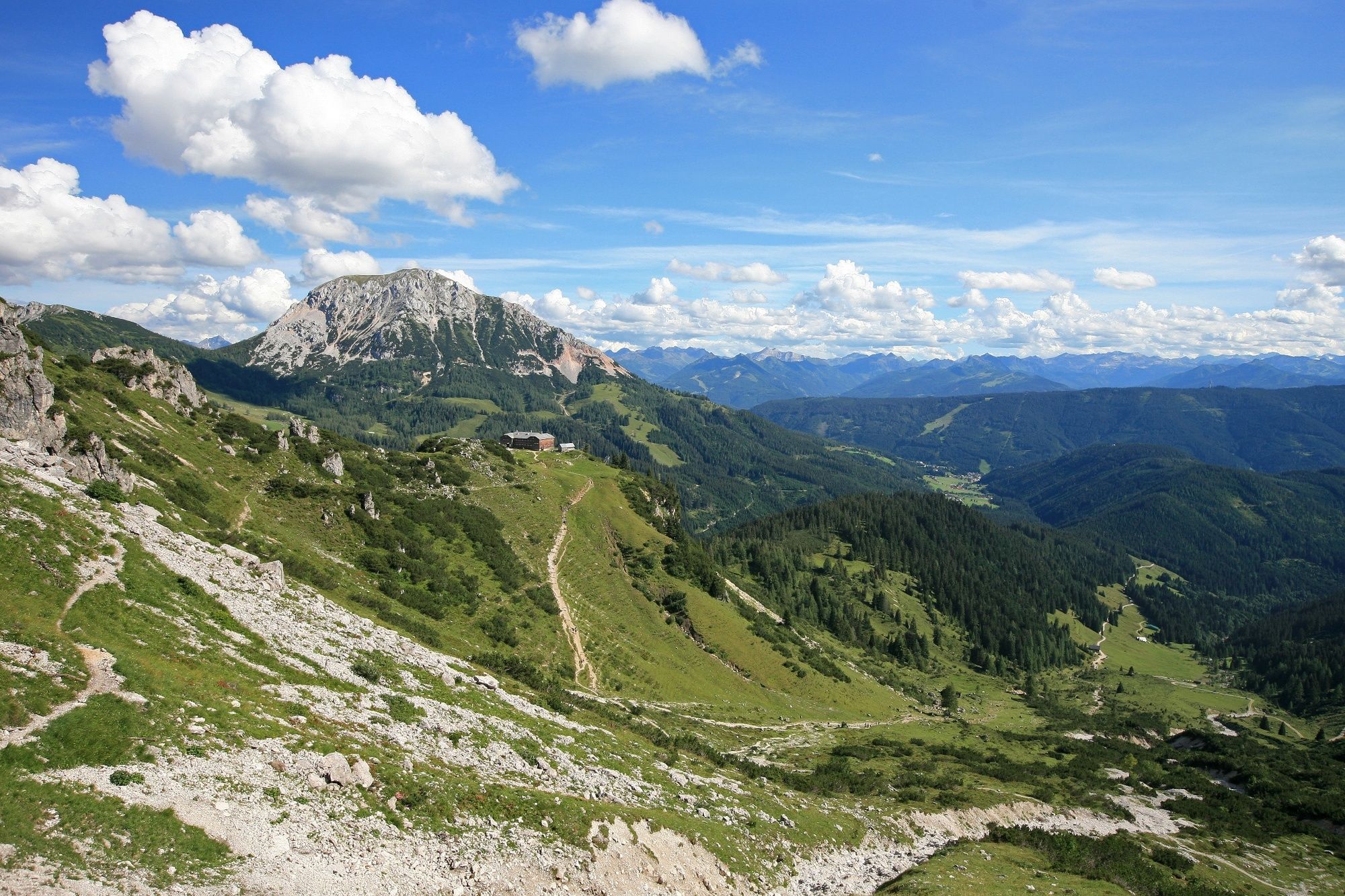
3 day stage - hike around the Bischofsmütze mountain, alpine picture book landscape, changing views of the Bischofsmütze mountain, Thaumling, Gosausee lake, Tauern. Mountaineering memorial on the Gosau side.
- Difficulty
-
medium
- Rating
-
- Starting point
-
Gablonzer Hütte
- Route
-
Gablonzer Hütte0.0 kmBreininghütte0.1 kmStuhlalm3.6 kmDurchgangscharte (1,601 m)5.4 kmSulzkarhütte7.7 kmAualm10.5 kmKirchgasshütte10.8 kmMarcheggsattel (1,220 m)12.5 km
- Best season
-
JanFebMarAprMayJunJulAugSepOctNovDec
- Directions
-
3rd stage: Hike from Gablonzer Hütte over Stuhlalm, Aualm / Kirchgasshütte, Filzmoos
Walking time: 5-6 hours
The next day you continue on the Austria Weg (No. 601 A) to the chairmith and the Theodor-Körner-Hütte and continue through the Stuhlloch to the Sulzkaralm. Then return via the Aualm / Kirchgasshütte to Filzmoos. - Highest point
- 1,664 m
- Endpoint
-
Toll road Hofalmen
- Height profile
-

- Equipment
-
Good hiking equipment with ankle-high hiking boots.
- Safety instructions
-
This tour should only be undertaken by experienced mountain hikers. A head for heights, good physical condition and sure-footedness are required.
- Tips
-
For the two-day stage we recommend you to reserve a camp or room for the overnight stays (especially the huts are full at the weekend)!
- Author
-
The tour Around the Bischofsmütze mountain - stage 3 is used by outdooractive.com provided.