Bad Goisern - Gosausee | Dachstein Circular Hiking Trail: Stage 08


- Brief description
-
- Difficulty
-
medium
- Rating
-
- Starting point
-
Centre of Bad Goisern
- Route
-
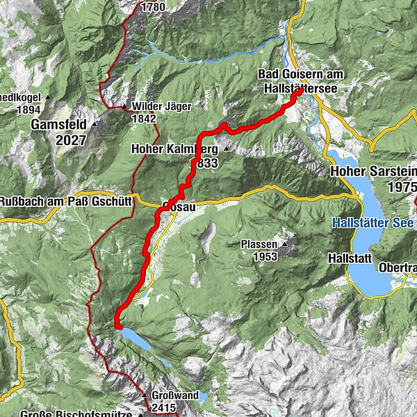
Evangelische KircheBad Goisern am HallstätterseeGschwandt0.3 kmGoiserer Hütte6.7 kmIn der Saugruben8.2 kmGosau12.5 kmKollers Heuriger13.1 kmKirchenviertel13.9 kmKalvarienkapelle14.1 kmKalvarienberg Gosau14.1 kmKranabet16.7 kmGasthof Gosausee21.1 km
- Best season
-
JanFebMarAprMayJunJulAugSepOctNovDec
- Description
-
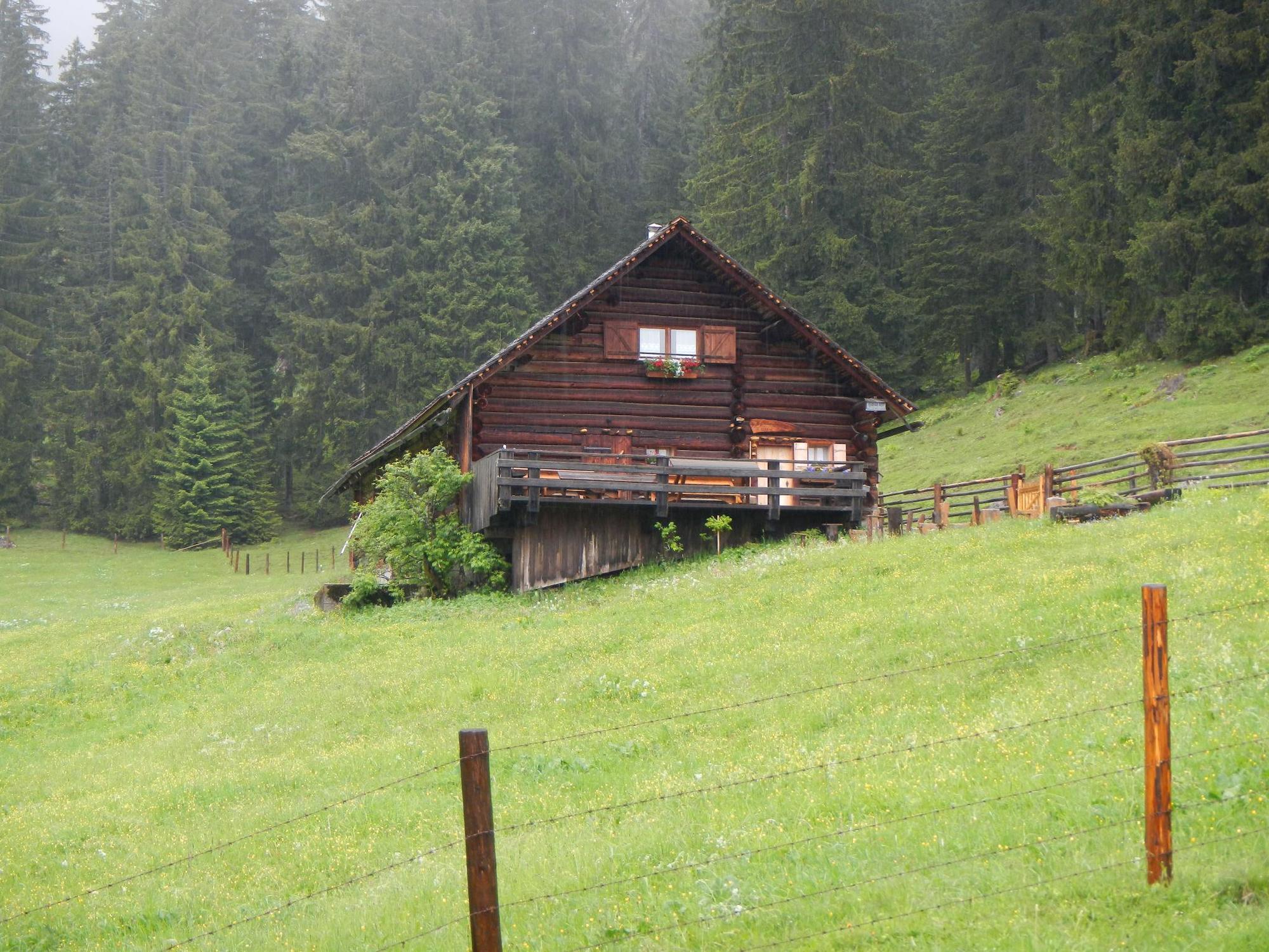
We start the last stage of our Dachstein circumnavigation in Bad Goisern and the first destination is the Protestant church in Bad Goisern, continue to the Traunbrücke bridge and immediately afterwards turn right up to Steinach. We pass Steinach and walk in the direction of Trockentann (toboggan run in winter) on the forest road up to the alp. At the Reiterhütte we take the shortcut directly past the hut to the material cableway of the Goiserer Hütte. On this thoroughbred hiking trail we go over roots, steps and serpentines up to the Goiserer Hütte where a stop is worthwhile. The descent takes place in the direction of Gosau via the Schartenalm past rustic alpine huts. The hiking trail leads us to the next resting place at the Iglmoosalm and then further into the Schindergraben at the edge of the forest to Gosau. We stay on the Panoramaweg Gosau which brings us with the view on the Gosaukamm up to the end of the stage to the Gosausee with the Dachstein.
- Directions
-
We start the last stage of our Dachstein circumnavigation in Bad Goisern and the first destination is the Protestant church in Bad Goisern, continue to the Traunbrücke bridge and immediately afterwards turn right up to Steinach. We pass Steinach and walk in the direction of Trockentann (toboggan run in winter) on the forest road up to the alp. At the Reiterhütte we take the shortcut directly past the hut to the material cableway of the Goiserer Hütte. On this thoroughbred hiking trail we go over roots, steps and serpentines up to the Goiserer Hütte where a stop is worthwhile. The descent takes place in the direction of Gosau via the Schartenalm past rustic alpine huts. The hiking trail leads us to the next resting place at the Iglmoosalm and then further into the Schindergraben at the edge of the forest to Gosau. We stay on the Panoramaweg Gosau which brings us with the view on the Gosaukamm up to the end of the stage to the Gosausee with the Dachstein.
- Highest point
- 1,576 m
- Endpoint
-
Gosau or Gosausee
- Height profile
-

- Equipment
-
sturdy shoes, rainproof clothing, rucksack, enough provisions, sleeping bag if necessary
- Author
-
The tour Bad Goisern - Gosausee | Dachstein Circular Hiking Trail: Stage 08 is used by outdooractive.com provided.


General info
-
Salzkammergut Oberösterreich
3086
-
Dachstein Salzkammergut
1708
-
Gosau
431