Hallstatt - Bad Goisern | Dachstein Circular Hiking Trail: Stage 07


- Difficulty
-
easy
- Rating
-
- Starting point
-
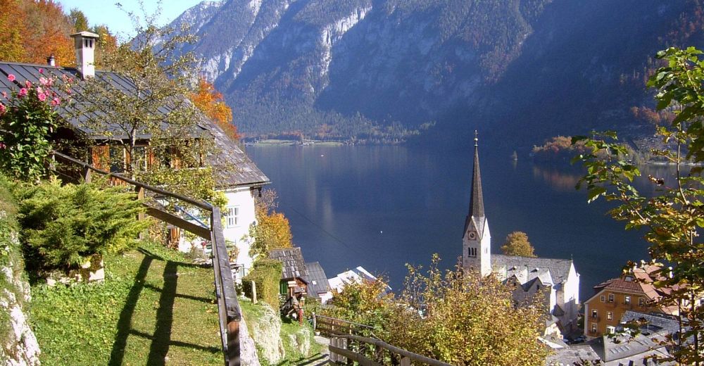
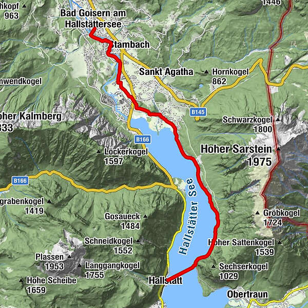
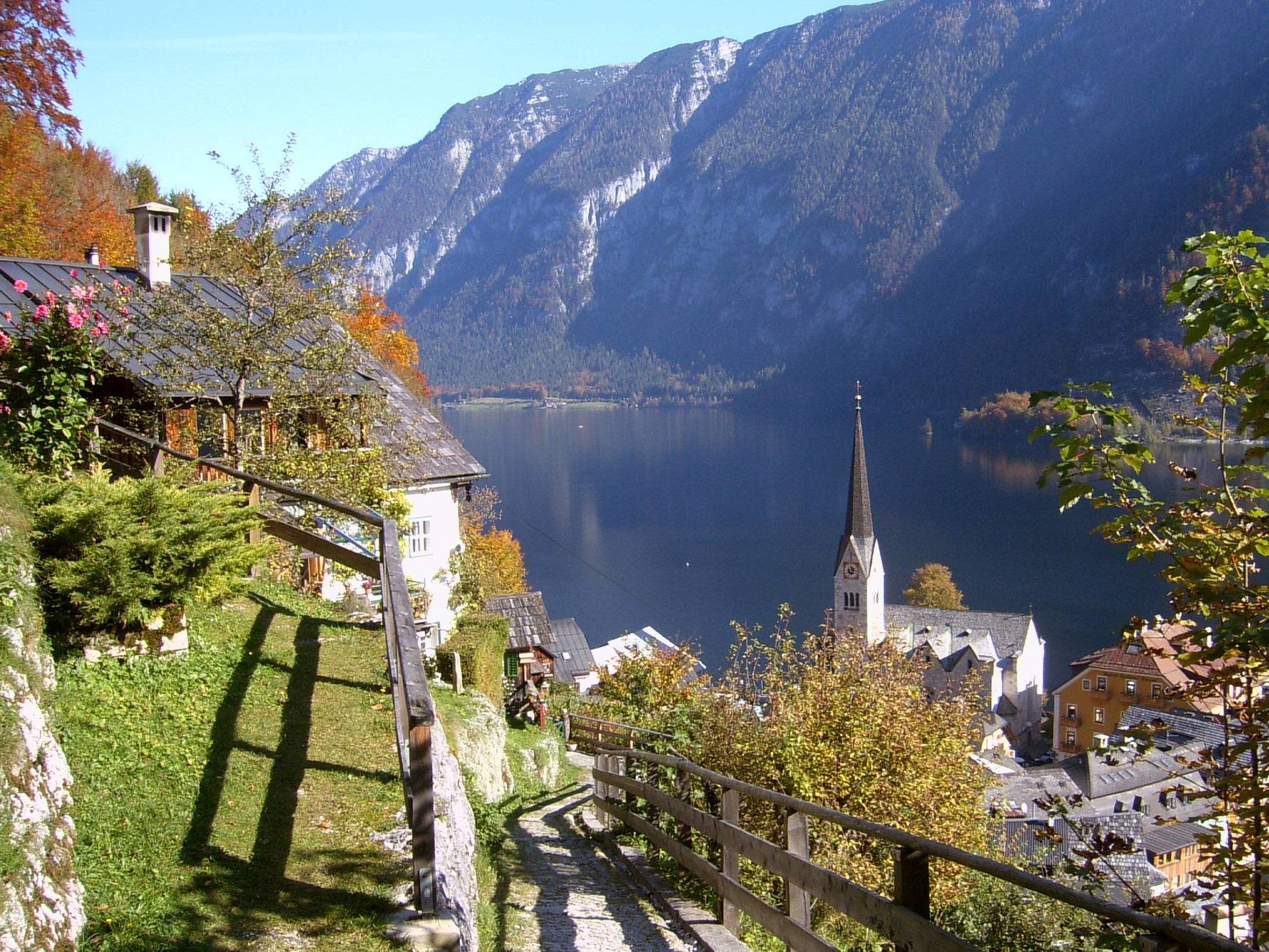
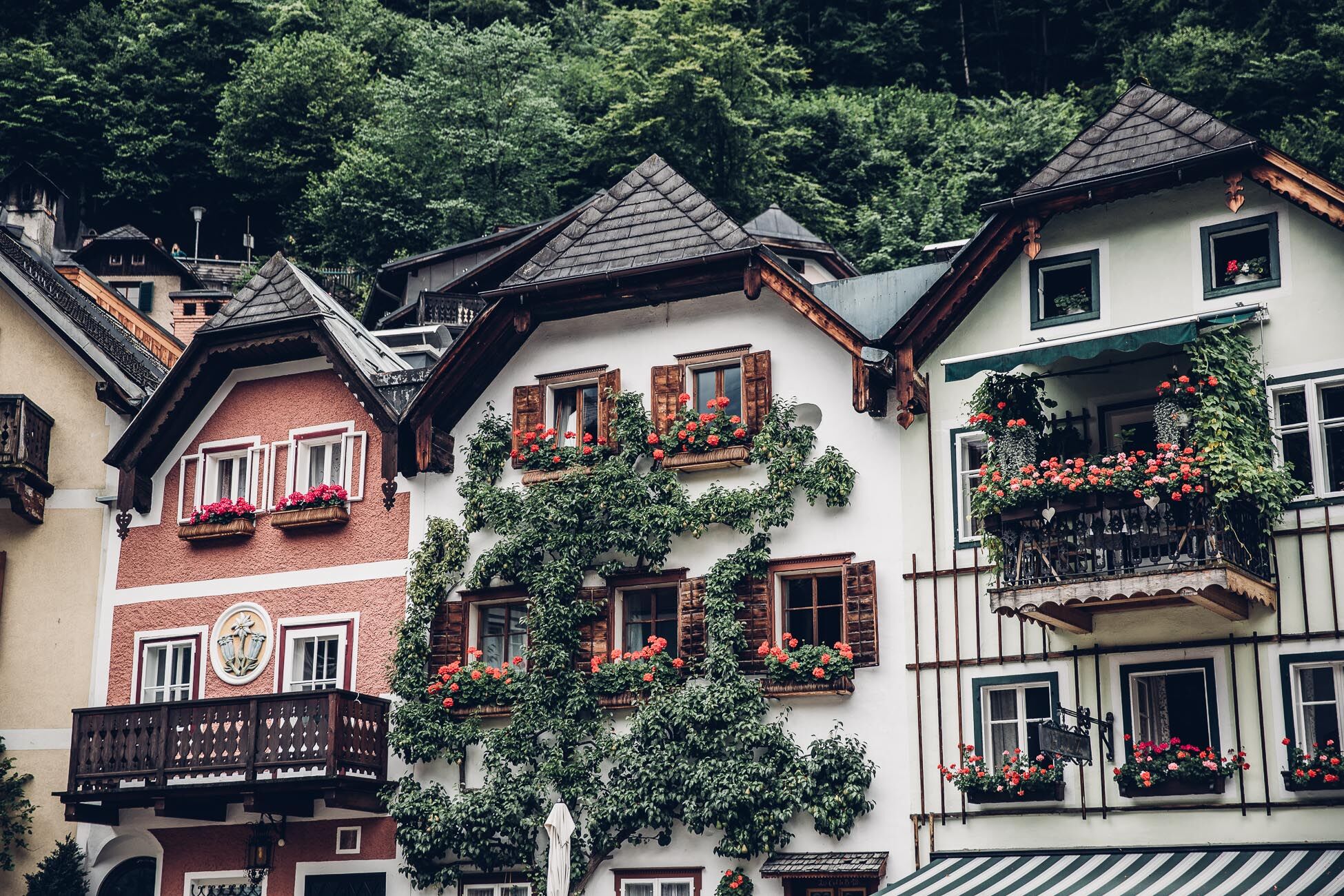
Hallstatt
- Route
-
Spielplatz Ev. KirchengartenEvangelische Kirche HallstattHallstattATO Hallstatt markt(schiffstation)0.0 kmHallstatt Bahnhof1.0 kmSeeraunzn3.9 kmGasthaus zur Post8.3 kmGörb10.3 kmGschwandt11.7 kmBad Goisern am Hallstättersee11.9 kmEvangelische Kirche12.0 km
- Best season
-
JanFebMarAprMayJunJulAugSepOctNovDec
- Description
-
The seventh stage begins at Hallstättersee, and depending on where you have spent the night, you can either take a boat or walk to Hallstatt station. From here we walk along the idyllic eastern shore of Lake Hallstatt to Untersee. Below the Arikogel we go to Au. At the Gasthof zur Post we cross the main road into the Blasengasse until we reach the footpath which leads us along green flower meadows past the Traun in Mühlau near Stambach, to the Kunstmühle and finally to Bad Goisern.
Further information and offers on "Hiking without luggage"
- Directions
-
The seventh stage begins at Hallstättersee, and depending on where you have spent the night, you can either take a boat or walk to Hallstatt station. From here we walk along the idyllic eastern shore of Lake Hallstatt to Untersee. Below the Arikogel we go to Au. At the Gasthof zur Post we cross the main road into the Blasengasse until we reach the footpath which leads us along green flower meadows past the Traun in Mühlau near Stambach, to the Kunstmühle and finally to Bad Goisern.
- Highest point
- 527 m
- Endpoint
-
Bad Goisern
- Height profile
-

- Equipment
-
sturdy shoes, rainproof clothing, rucksack, enough supplies, sleeping if necessary
- Tips
-
The shortest and flattest section of the route can be completed in just under two hours. There is also the possibility to hike the Krippenstein or to explore the special surroundings of Hallstatt.


- Author
-
The tour Hallstatt - Bad Goisern | Dachstein Circular Hiking Trail: Stage 07 is used by outdooractive.com provided.


General info
-
Salzkammergut Oberösterreich
3081
-
Dachstein Salzkammergut
1701
-
Hallstatt
406