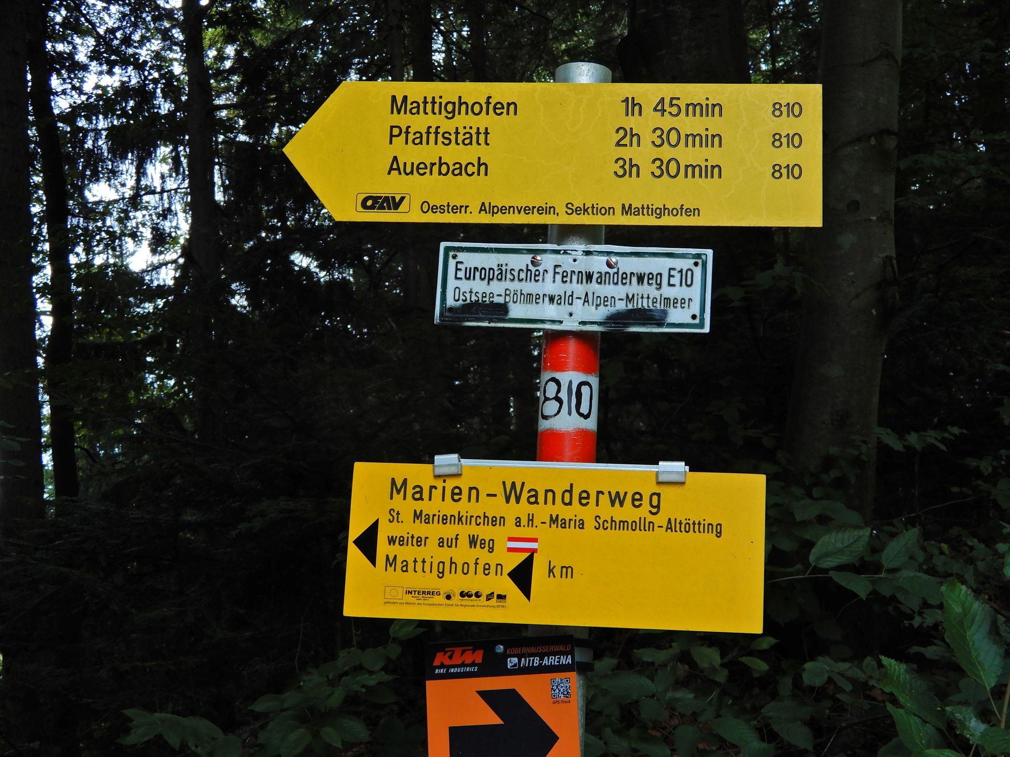
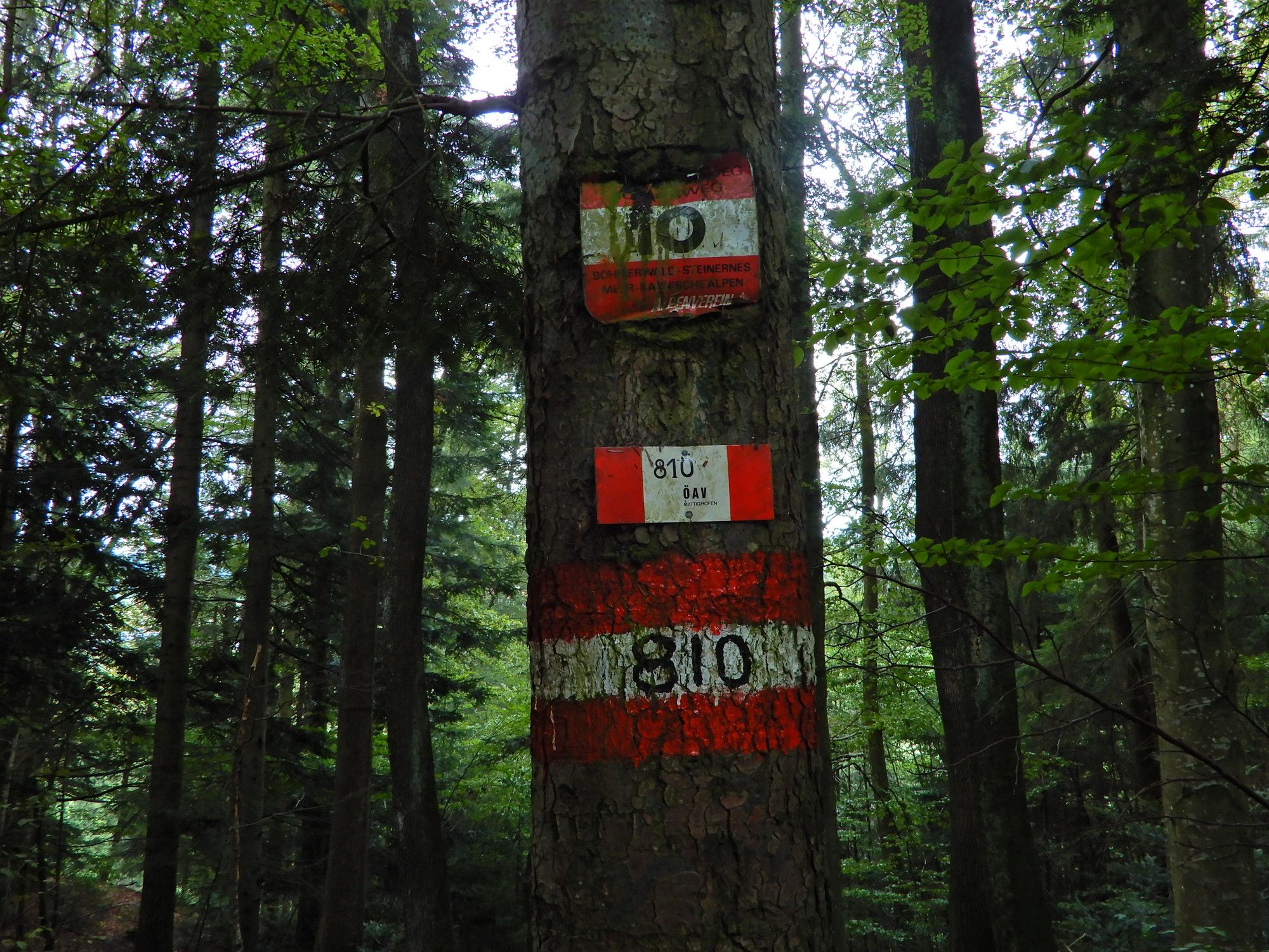
10 Rupertiweg, Etappe 08: Maria Schmolln - Mattighofen

long-distance walking trail
© gert gasperin

© gert gasperin
© gert gasperin

© gert gasperin
© gert gasperin
© gert gasperin

© gert gasperin

© gert gasperin
© gert gasperin
© gert gasperin
Tour data
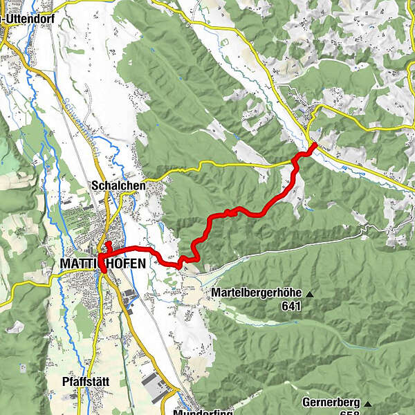
9.66km
443
- 609m
144hm
177hm
02:35h
- Brief description
-
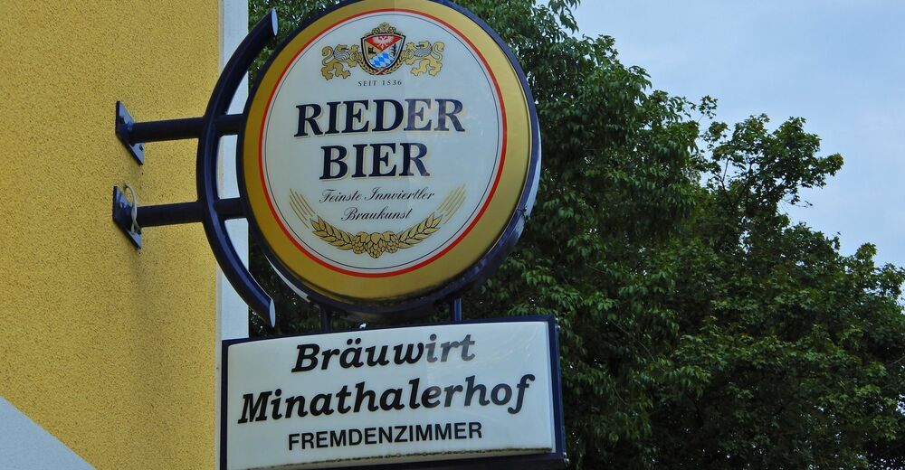
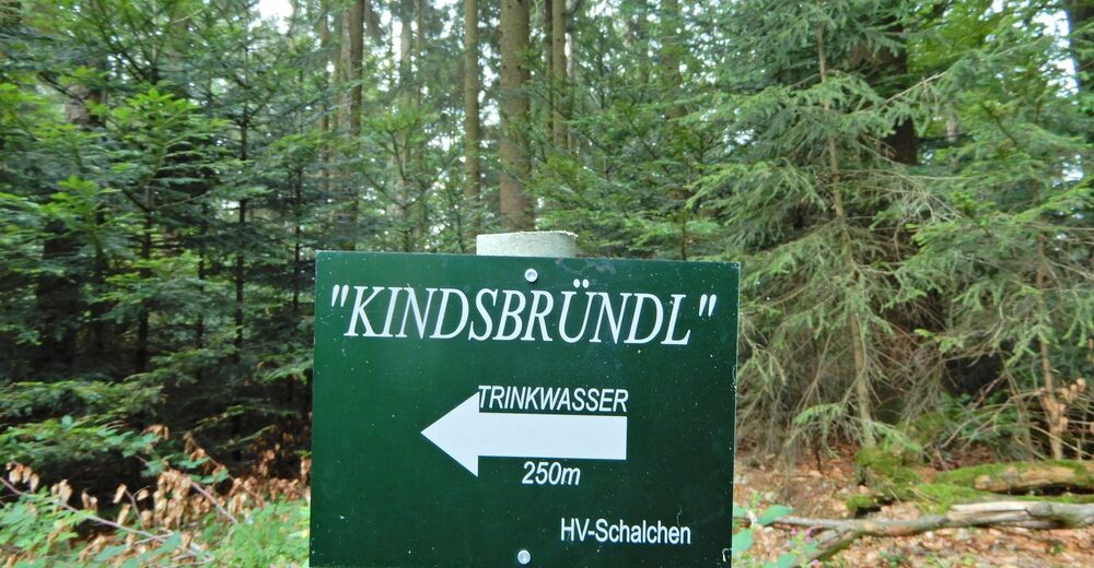
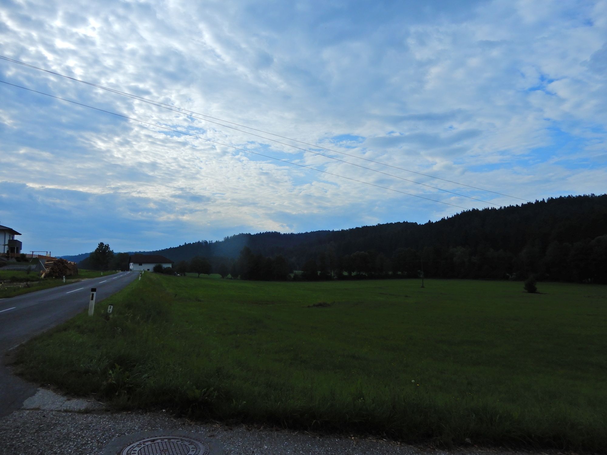
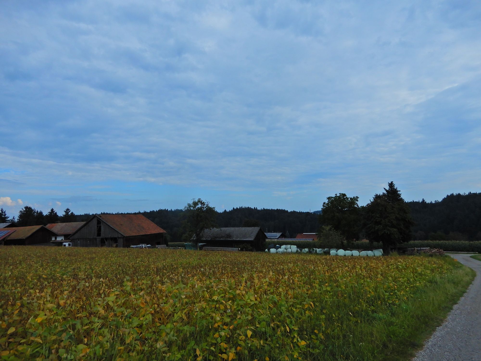
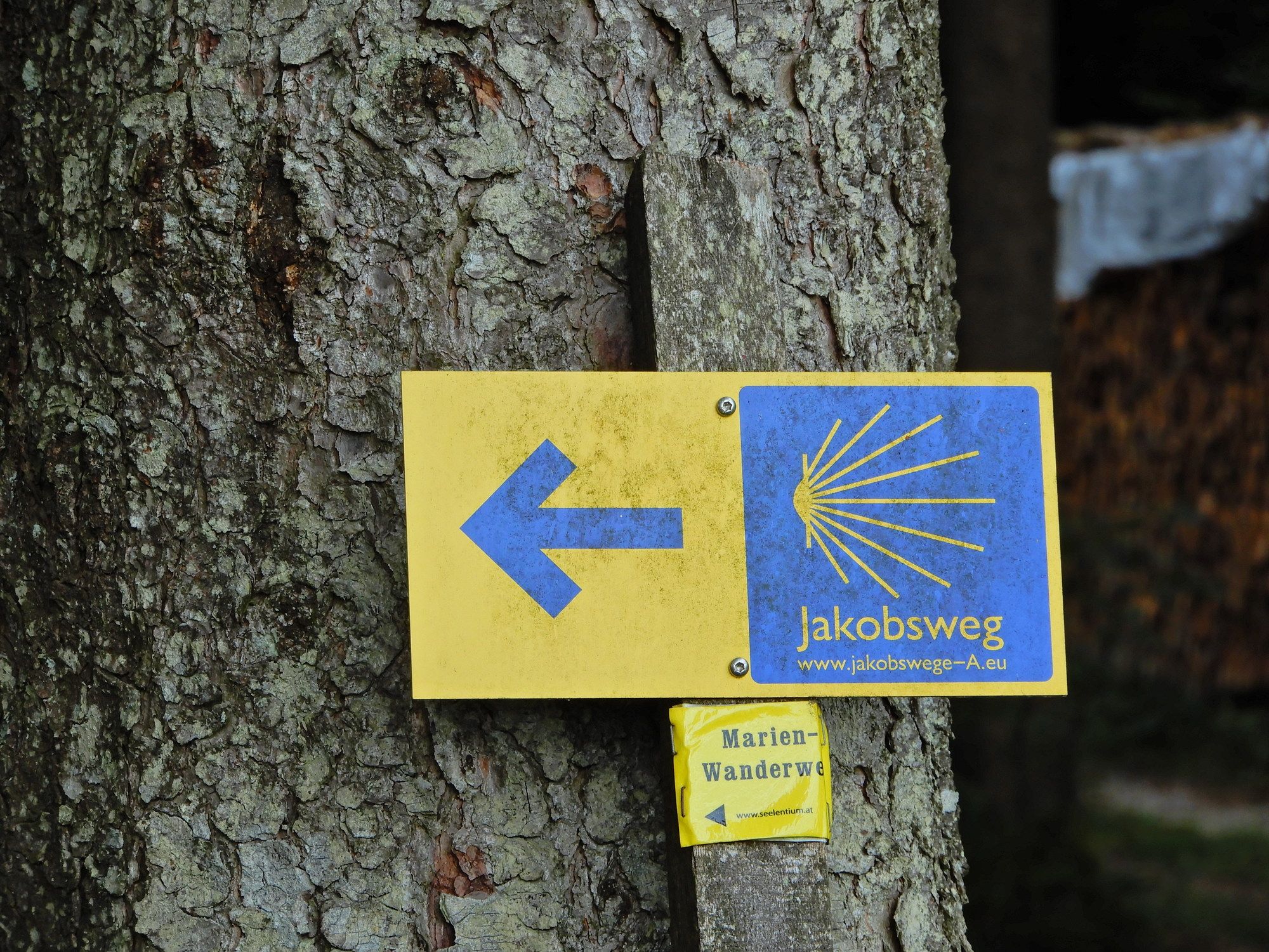
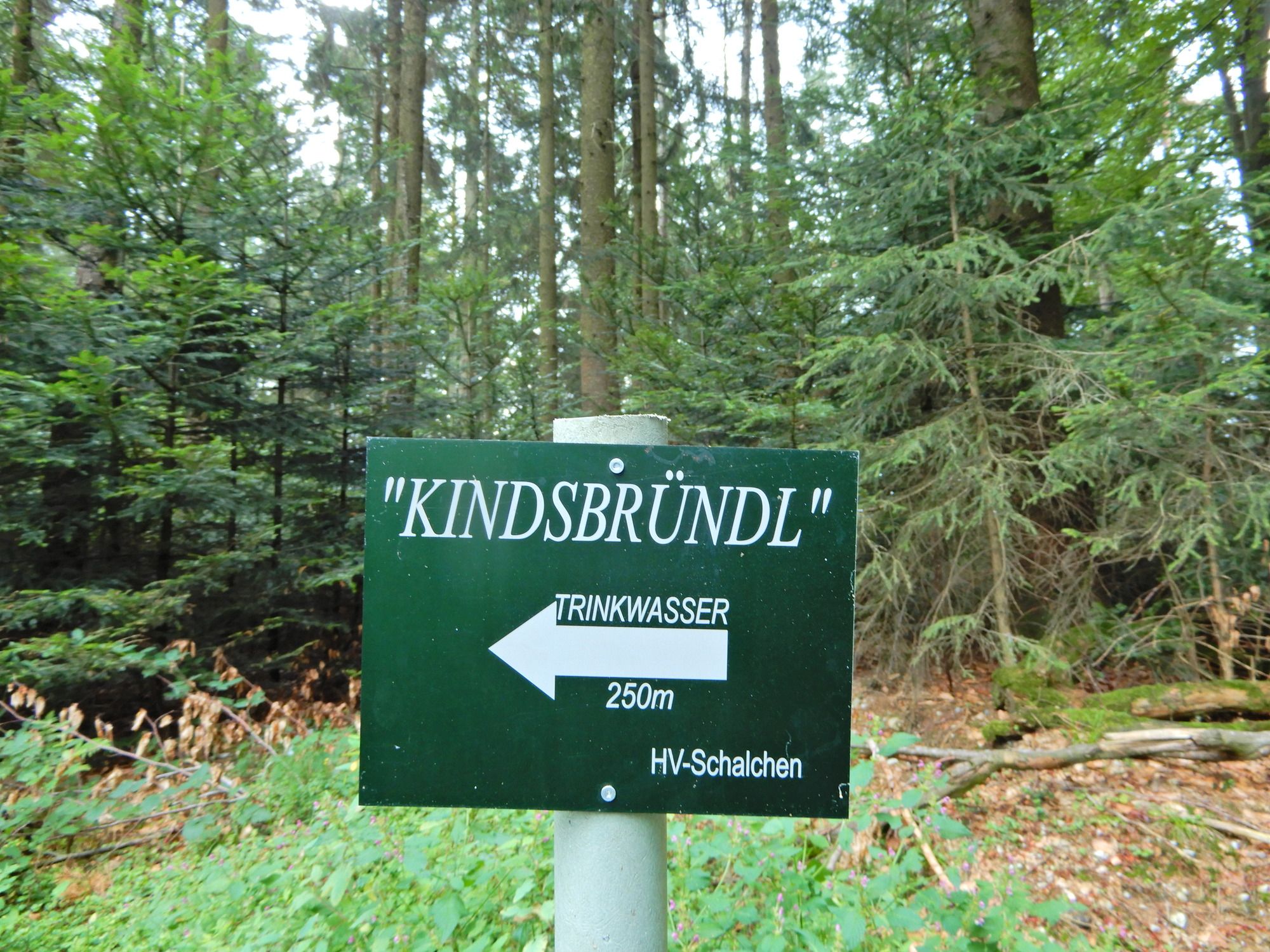
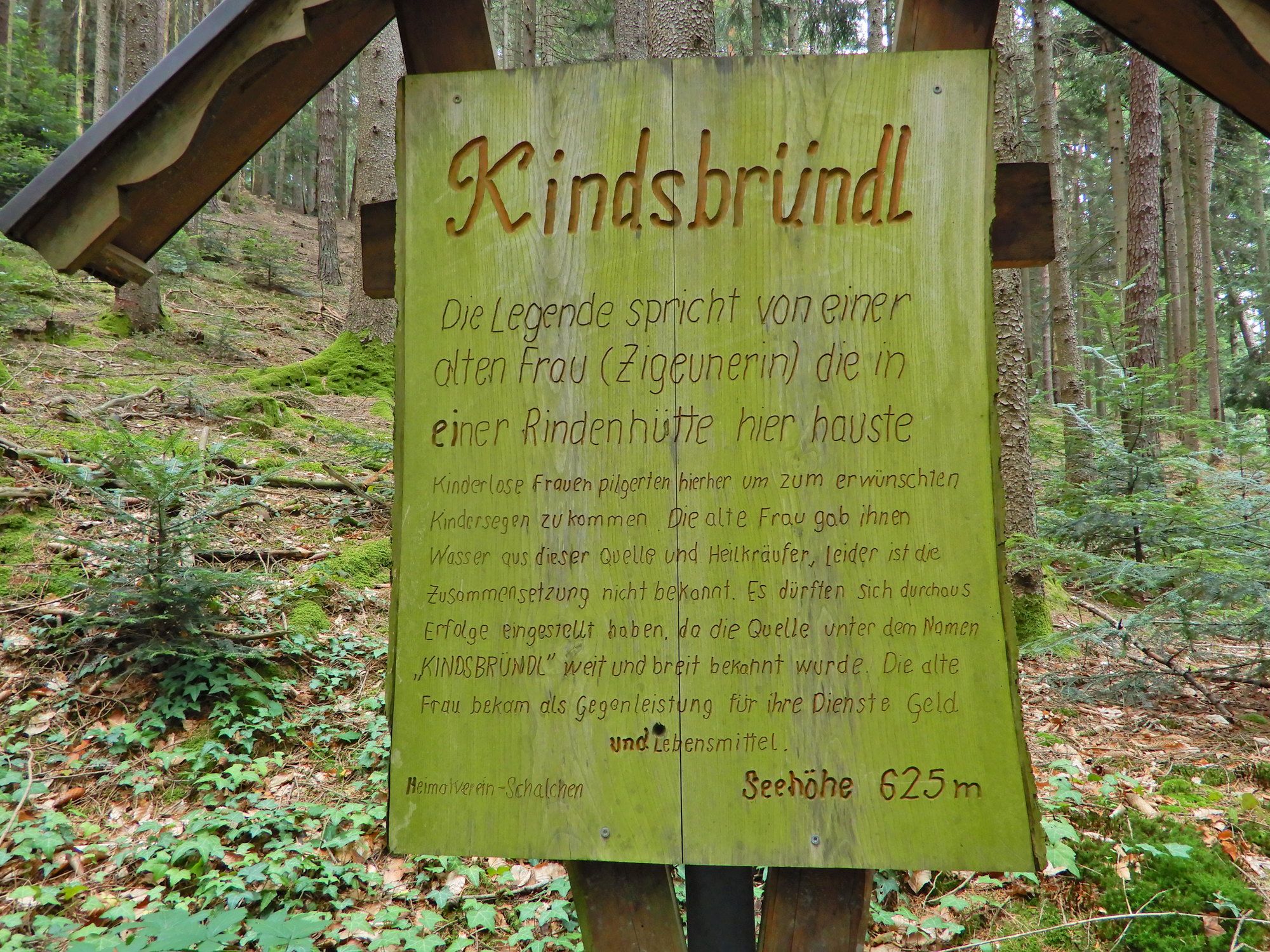
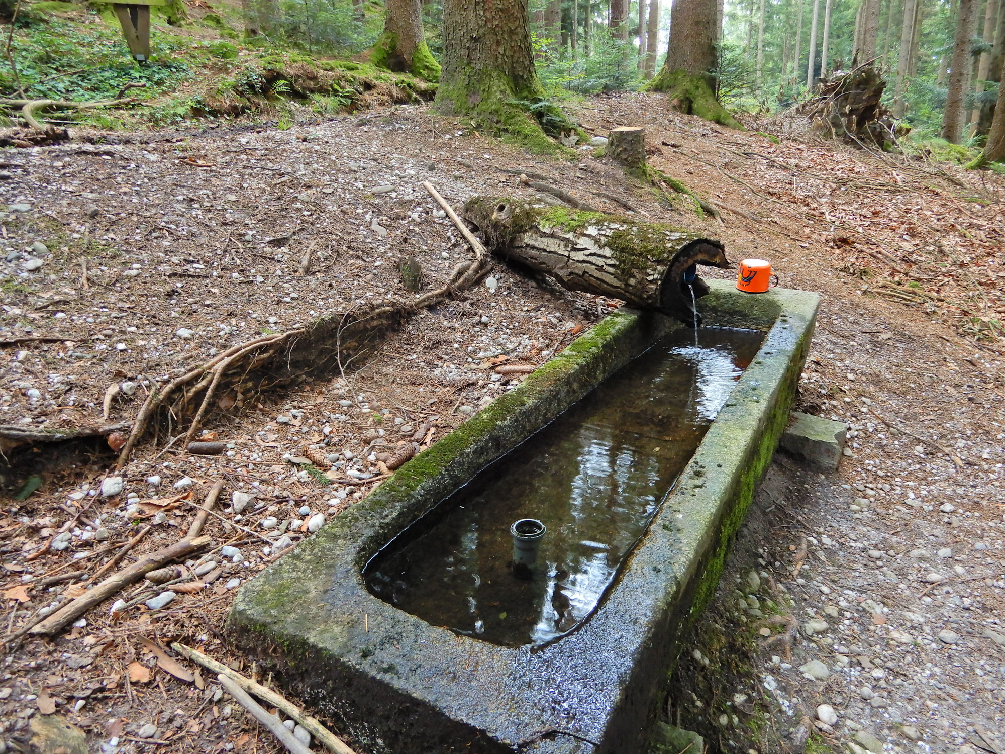
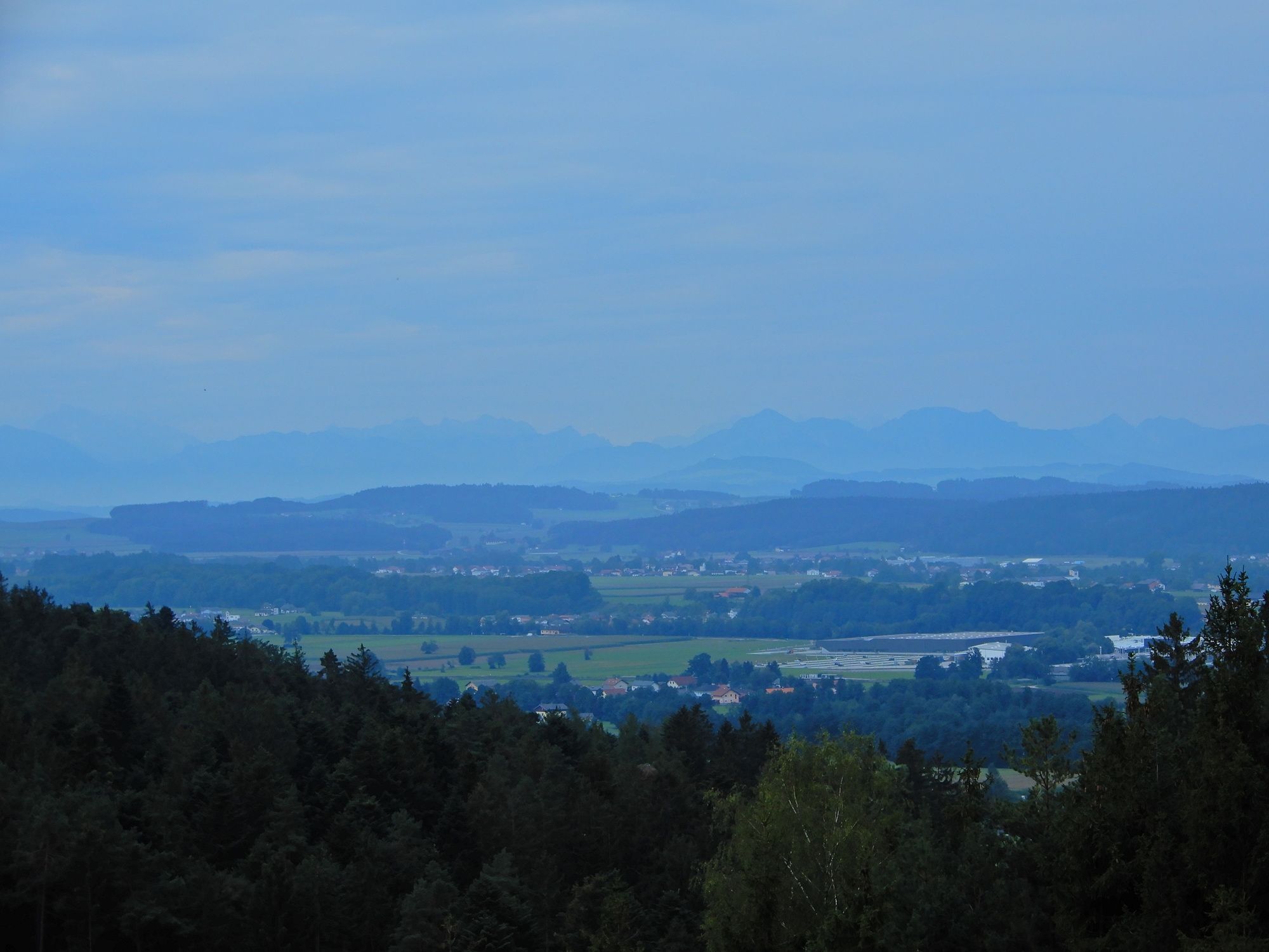
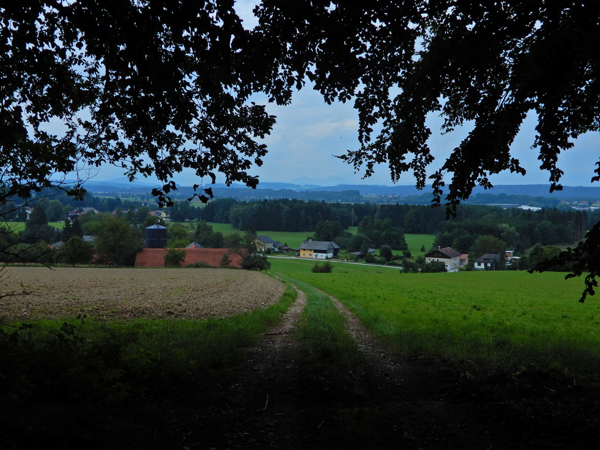
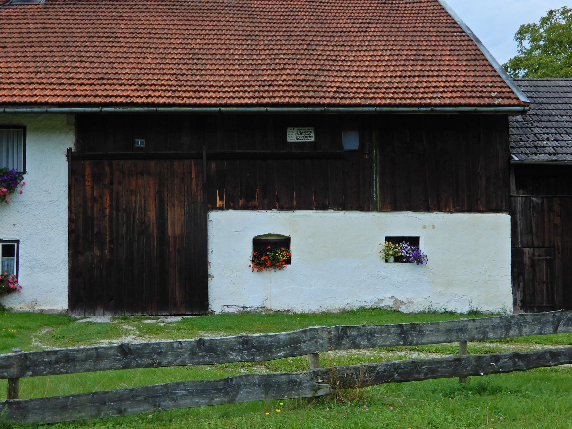
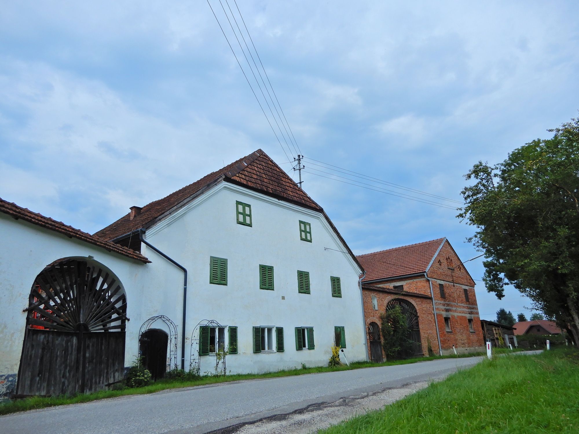
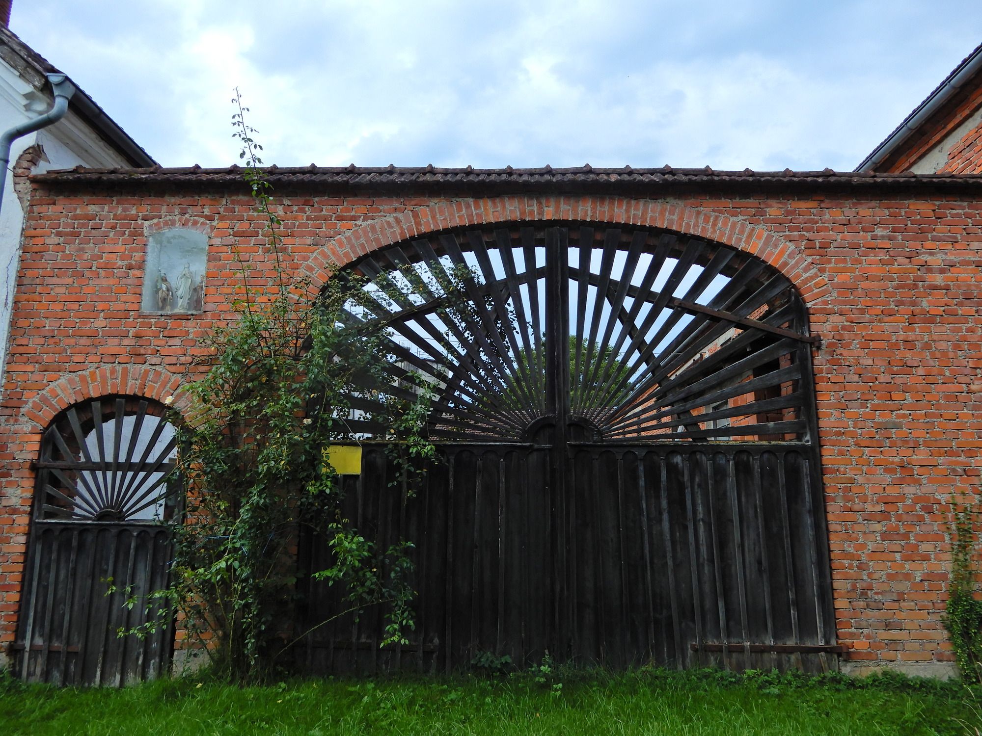
Unterminathal - Perneck - Kindsbründl - Langwiedmoos - Mattighofen
- Difficulty
-
easy
- Rating
-
- Starting point
-
Unterminathal
- Route
-
UnterminathalMinathaler Hof0.1 kmAicheck1.4 kmKindsbründl3.4 kmLangwiedmoos6.1 kmOberharlochen6.8 kmMattighofen8.5 kmMattigtalerhof9.4 kmMattighofen9.6 km
- Best season
-
JanFebMarAprMayJunJulAugSepOctNovDec
- Highest point
- 609 m
- Endpoint
-
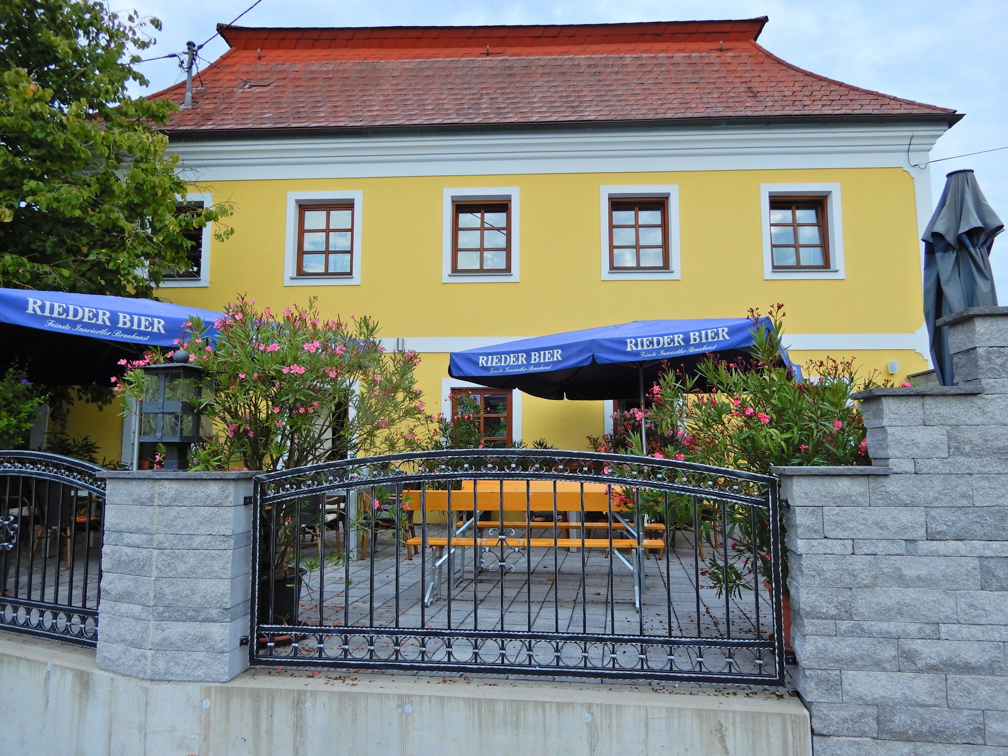
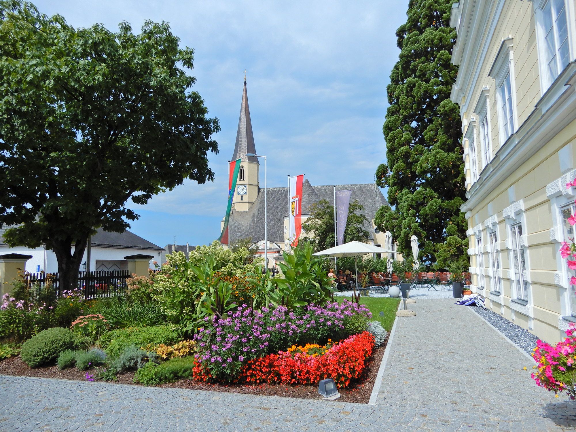
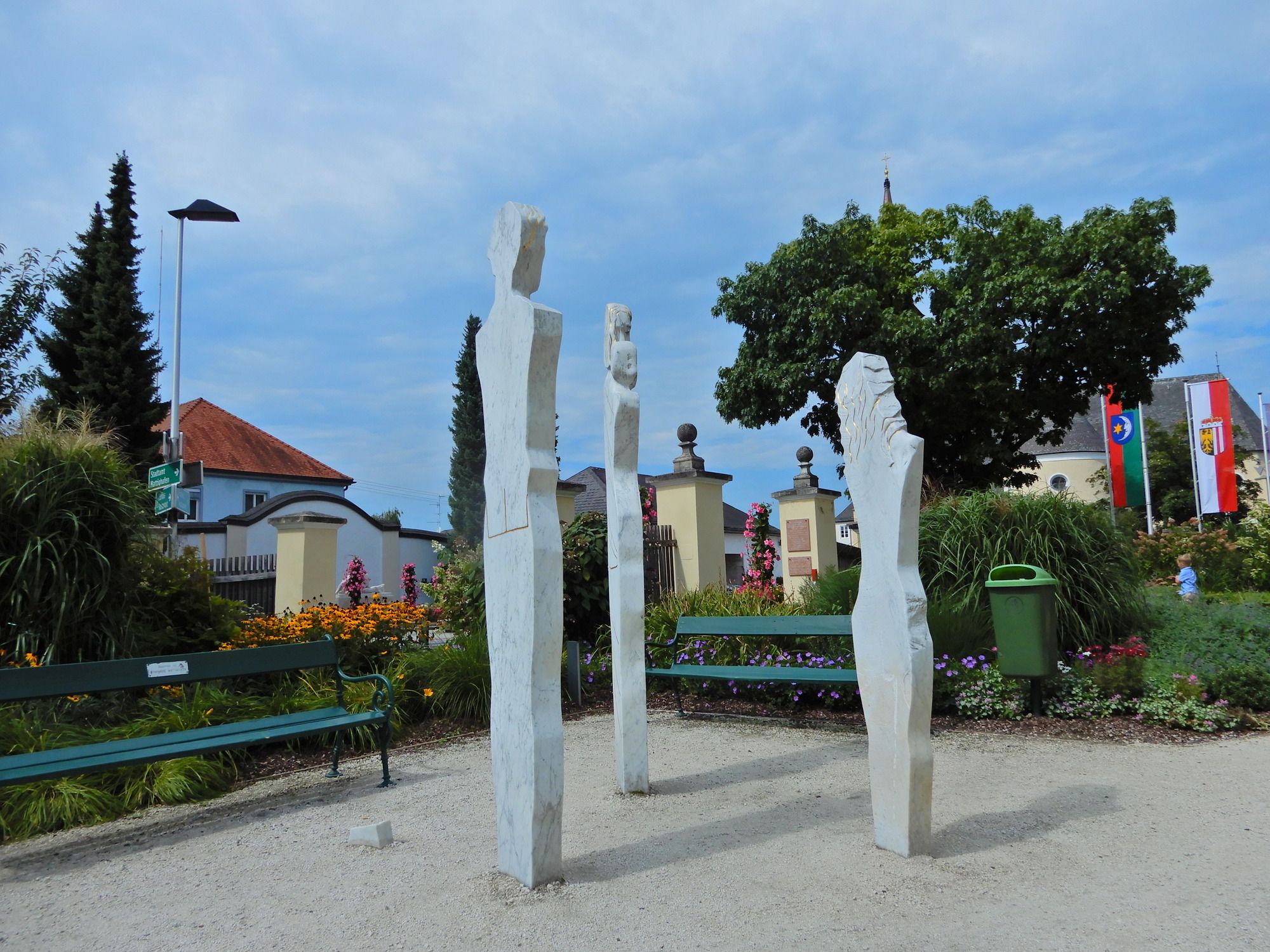
Mattighofen
- Rest/Retreat
-
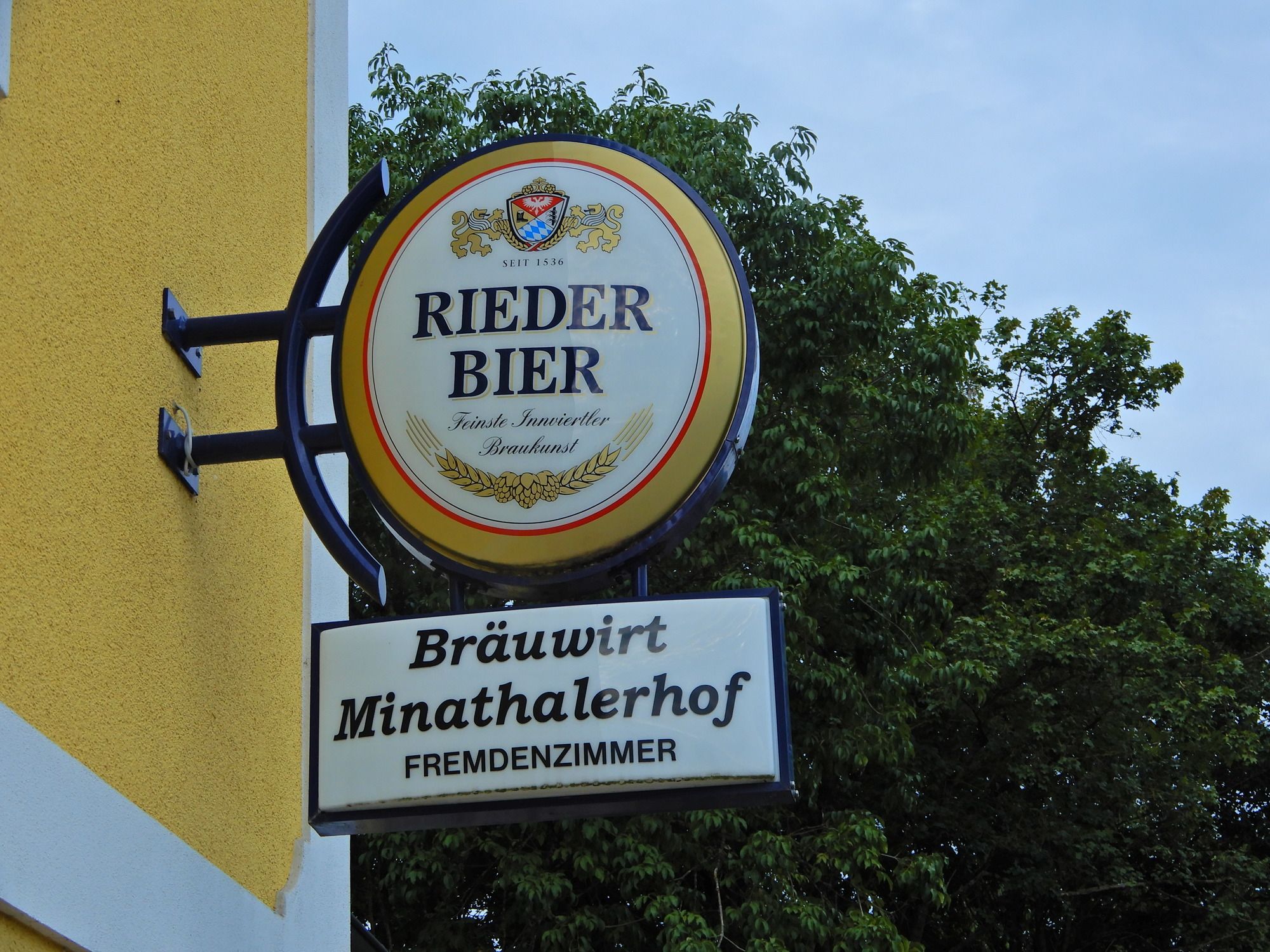
Mattighofen, Cafe Restaurant Stadtplatz 1
- Information
-
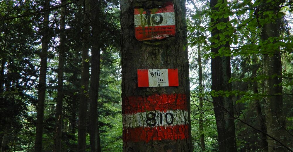
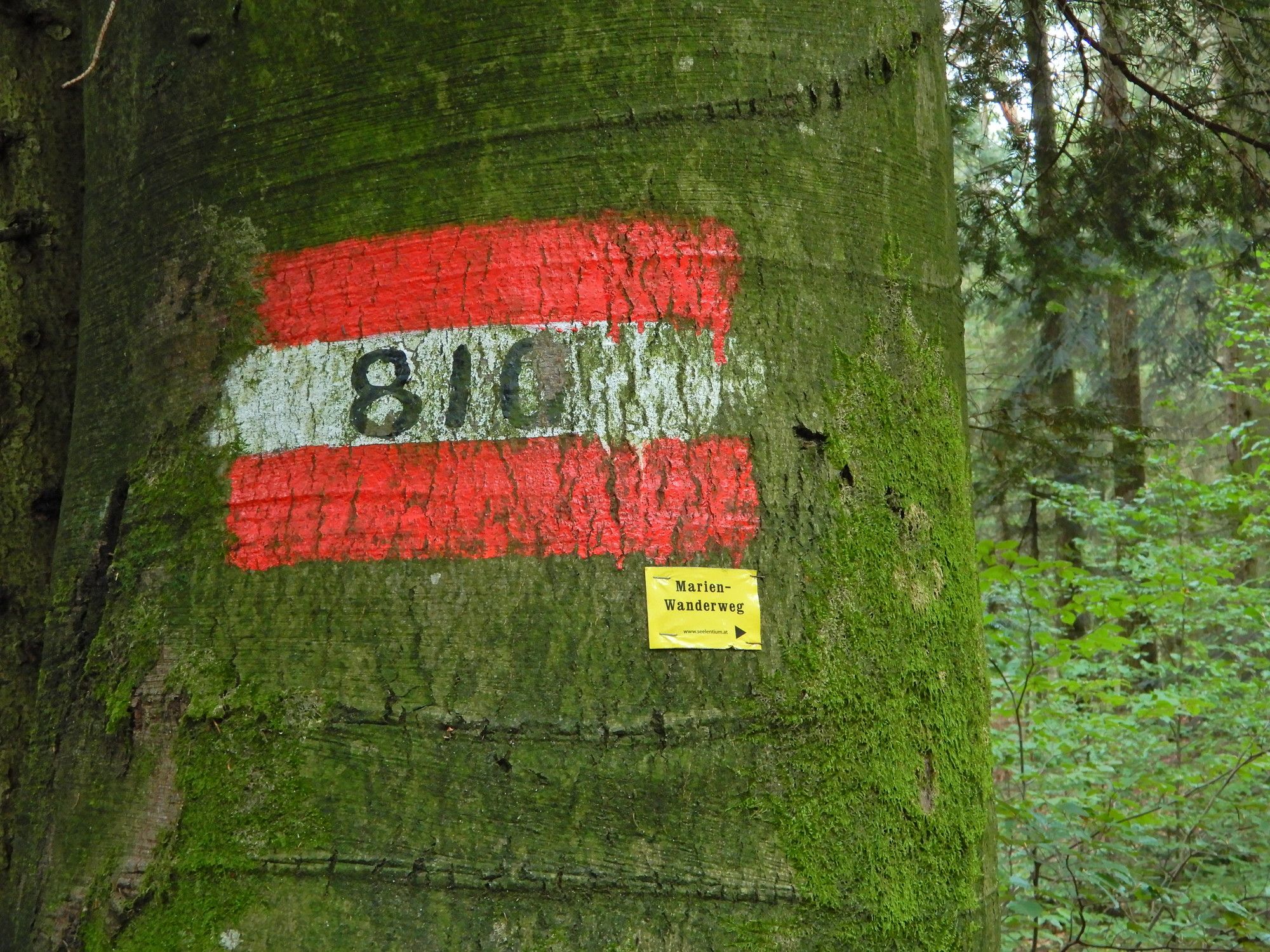
Österreichischer Weitwanderweg 10, Rupertiweg, Vom Böhmerwald zu den Karnischen Alpen, Erika und Fritz Käfer
- Ticket material
-
BEV

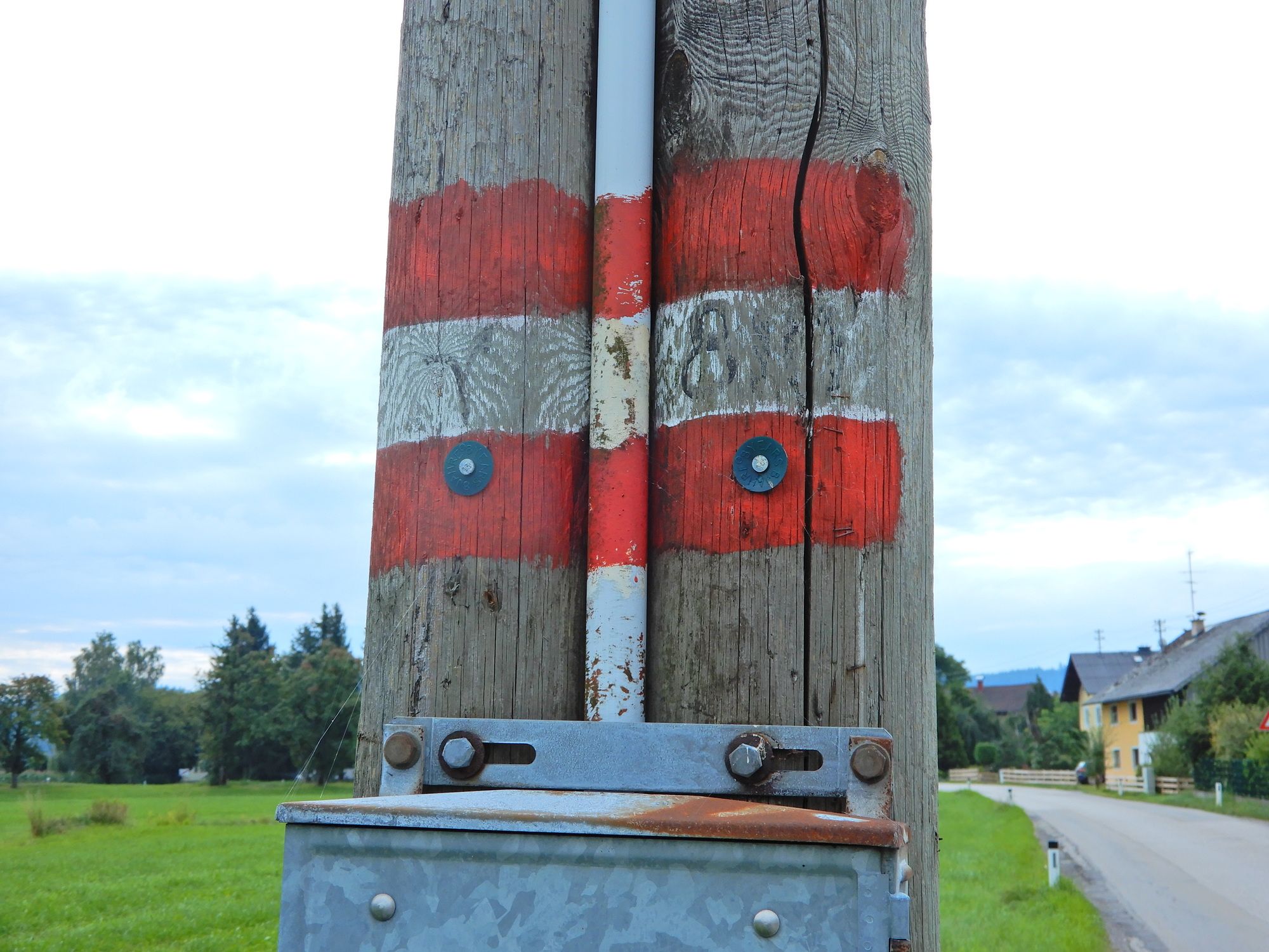
GPS Downloads


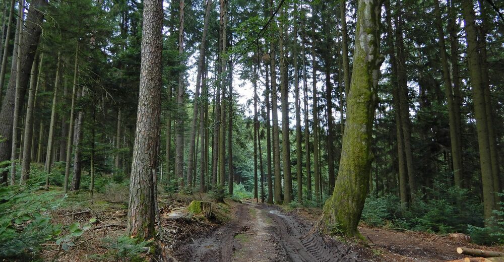
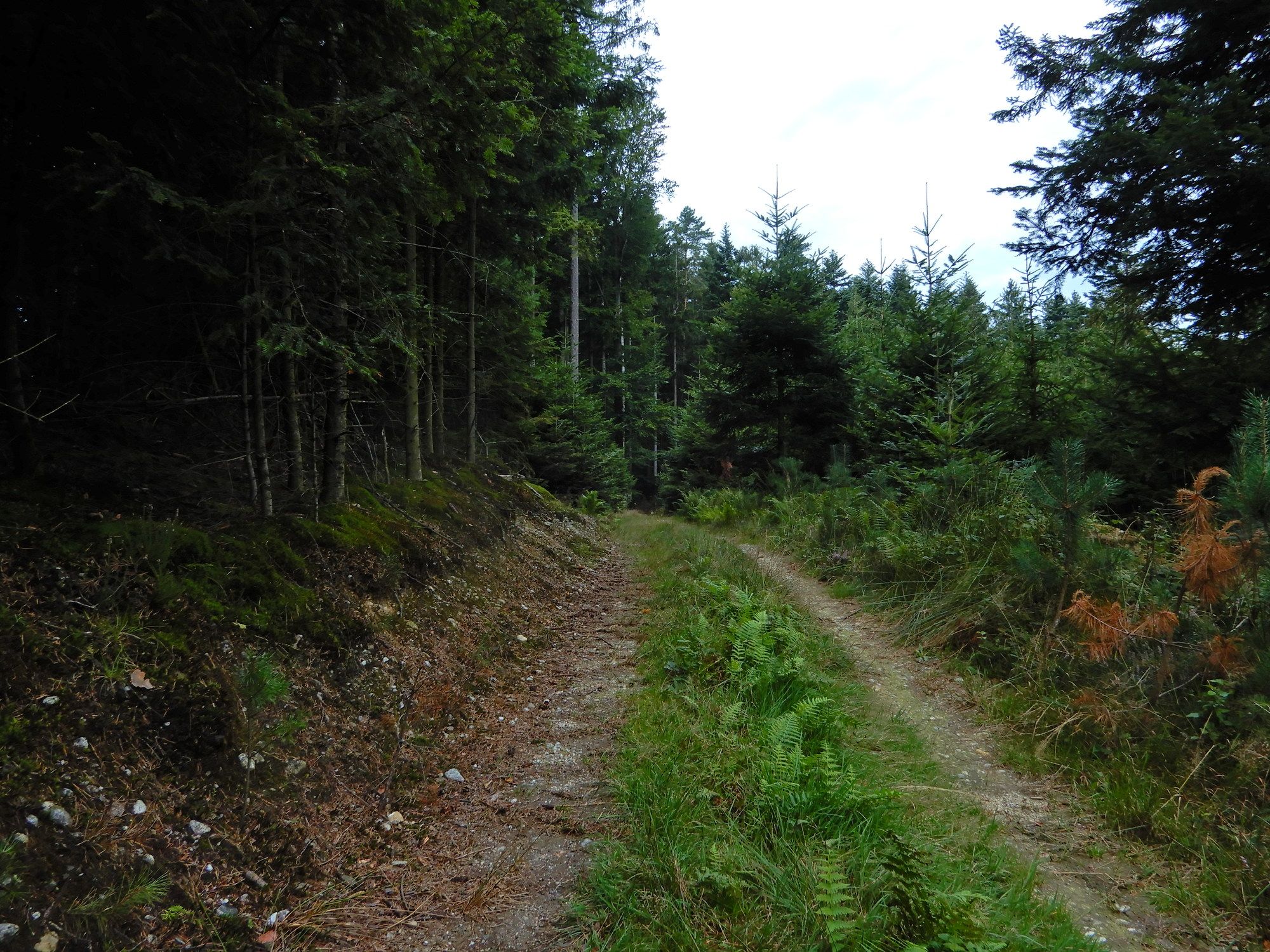
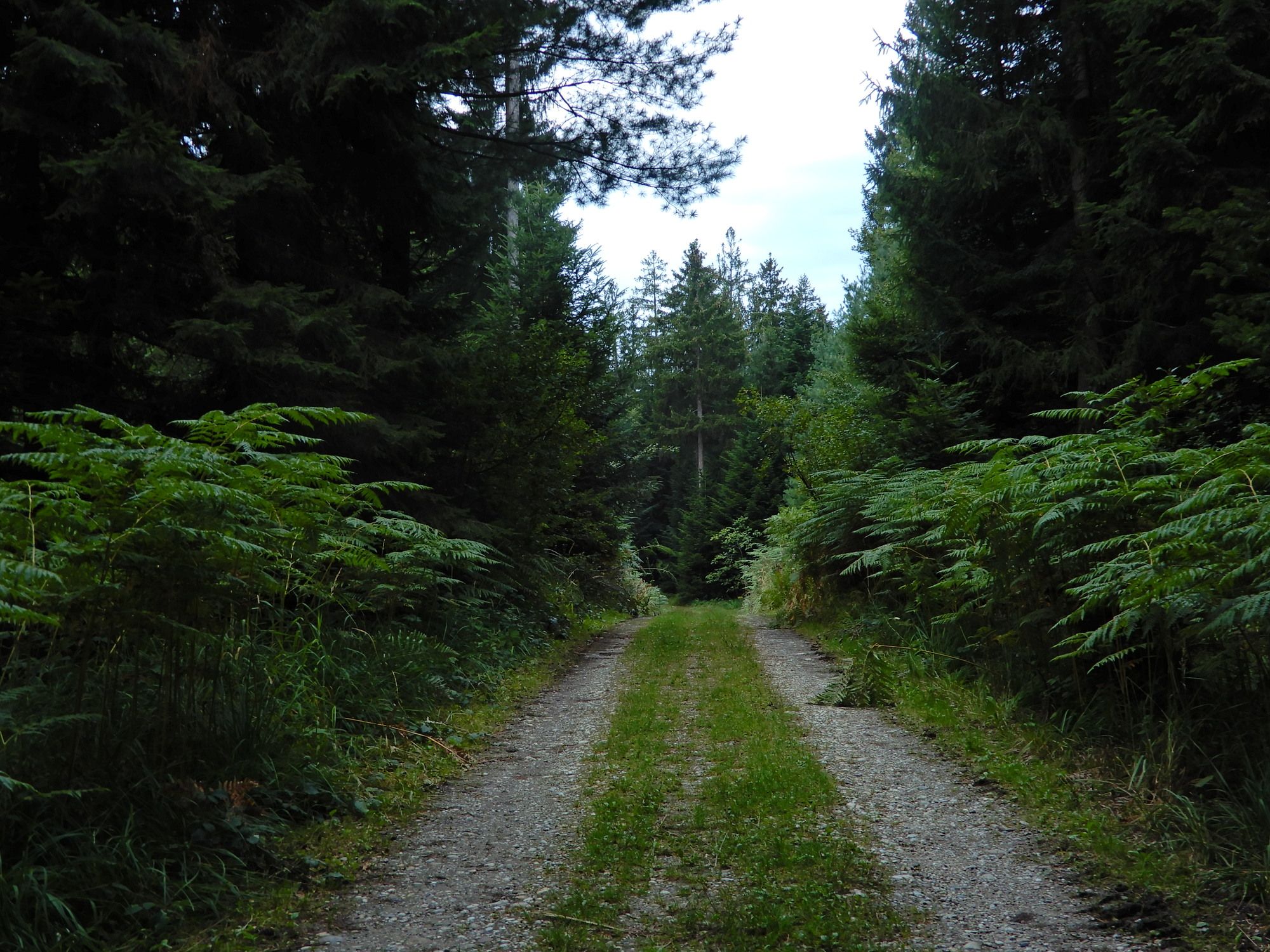
Trail conditions
Asphalt
Gravel
Meadow
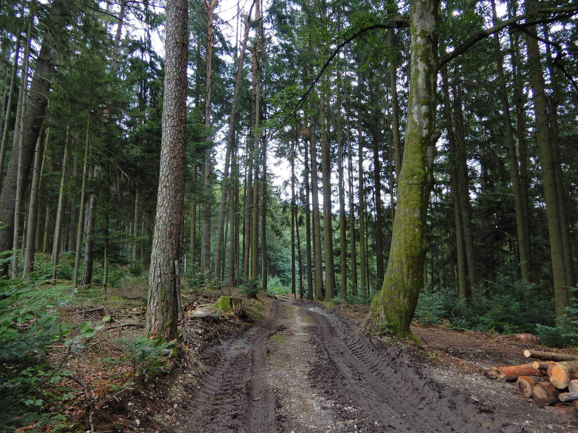
Forest
Rock
Exposed
Other tours in the regions
-
Innviertel
797
-
s'Entdeckerviertel
301
-
Schalchen
59