


- Brief description
-
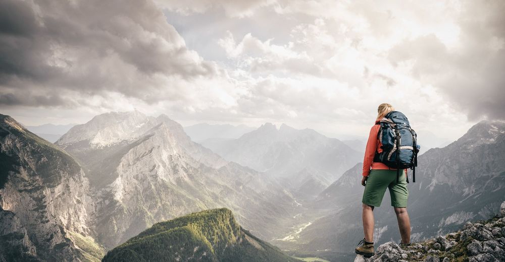
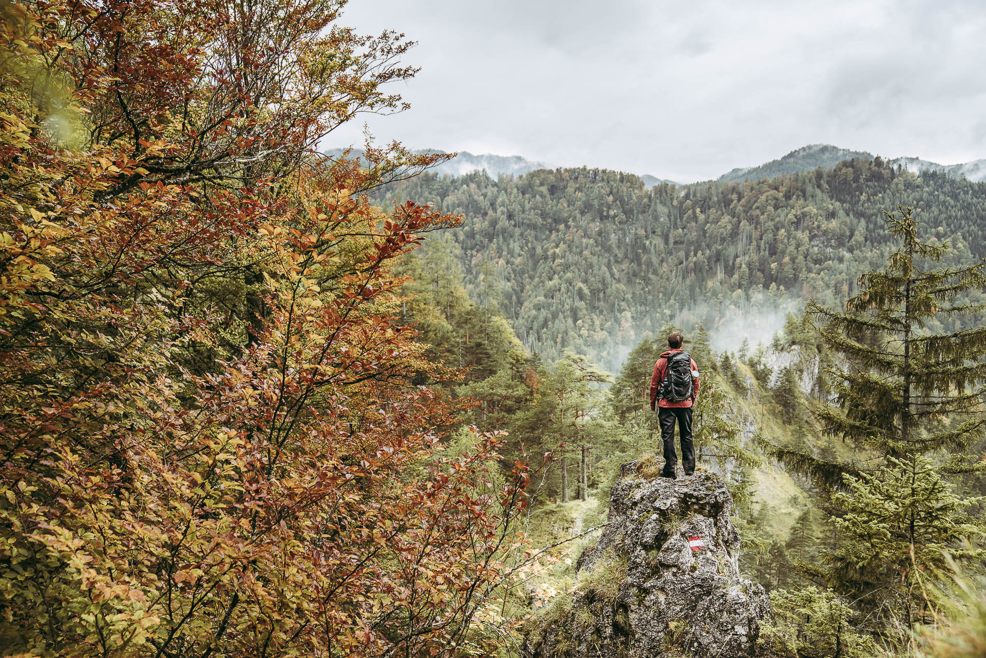
A trail to help the lynx
Long-distance walking in the home of the lynx - helping protect it
- Difficulty
-
medium
- Rating
-
- Starting point
-
Reichraming Railway Station (358 meters above sea level) Coordinates: Longitude 47.891551, Latitude 14.472098 Grid Reference 33T 460538 5304381
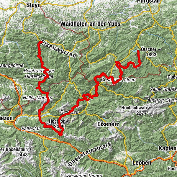
- Route
-
Reichraming0.0 kmReichraming0.7 kmWilder Graben10.5 kmGroße Klause16.5 kmAnlaufalm23.0 kmSchleierfall26.1 kmWeißwasser28.8 kmBlahbergalm30.5 kmAhornsattel34.1 kmZickerreith38.0 kmHengstpass (985 m)38.4 kmHengstpasshütte38.4 kmRot-Kreuz-Kapelle42.2 kmOberlaussa46.2 kmKlapfboden50.5 kmKleiner Seeboden51.7 kmGroßer Seeboden52.6 kmAdmonter Haus54.2 kmRastköpfl (1,162 m)56.8 kmJohannesbründl57.2 kmKirchenwirt60.1 kmHall60.2 kmAdmont63.3 kmKematen65.2 kmKematengraben66.2 kmSteinerner Wirt67.7 kmOberst Klinke Hütte72.0 kmKalblinggatterl (1,542 m)72.3 kmVordere Flitzenalm73.2 kmTreffneralm76.9 kmSpielkogel (1,731 m)78.6 kmBrunntörl79.5 kmAnhartskogel (1,750 m)79.9 kmJohnsbach (853 m)88.6 kmGasthof Donner88.7 kmRiesenspielplatz93.2 kmGstatterboden97.7 kmHubertuskapelle97.9 kmKropfbründl100.4 kmÜbergang (626 m)109.7 kmKirchenlandl111.1 kmPfarrkirche hl. Bartholomäus111.1 kmMooslandl114.4 kmGasthaus Mooswirt114.5 kmGams bei Hieflau127.2 kmSchwefelquelle128.3 kmPalfau137.6 kmLöschwasser Entnahmstelle138.5 kmGroßegg157.5 kmJausenstation Herrenhaus157.5 kmGasthof Fahrnberger160.9 kmKirche Lassing161.0 kmLassing161.1 kmAlpenhotel Ensmann161.3 kmMendlingpass (680 m)161.4 kmSchmalzmauer (1,759 m)168.8 kmGeißhöhe (1,648 m)170.2 kmMunzenplan (1,585 m)171.0 kmPlanstiege171.6 kmKessel171.8 kmÖlgraben182.9 kmGöstling an der Ybbs183.6 kmKögerlwirt185.1 kmYbbssteinbach185.7 kmYbbstaler Hütte196.2 kmLegsteinquelle198.0 kmDürrenstein (1,878 m)200.9 kmGlazingschacht201.3 kmGroßes Schneeloch201.4 kmLeonhardikreuz204.2 kmRainerquelle205.2 kmBrüllender Stier205.4 kmLudwigfall205.8 kmKlause206.7 kmLend210.2 kmSchlosstaverne Lunz am See212.1 km
- Best season
-
JanFebMarAprMayJunJulAugSepOctNovDec
- Description
-
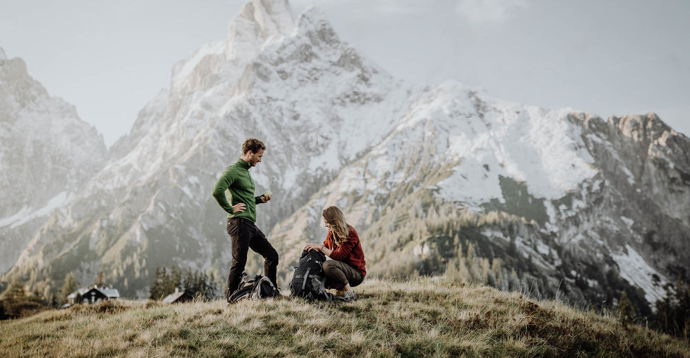
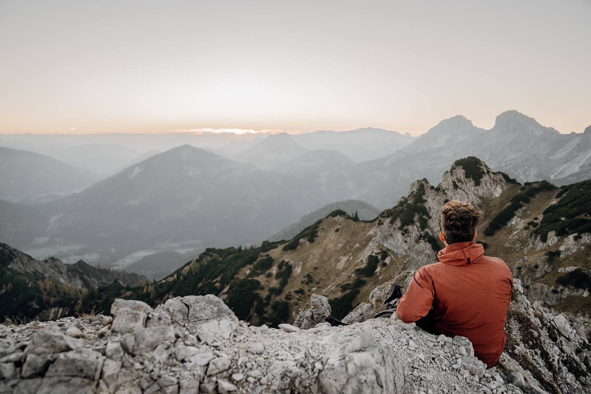
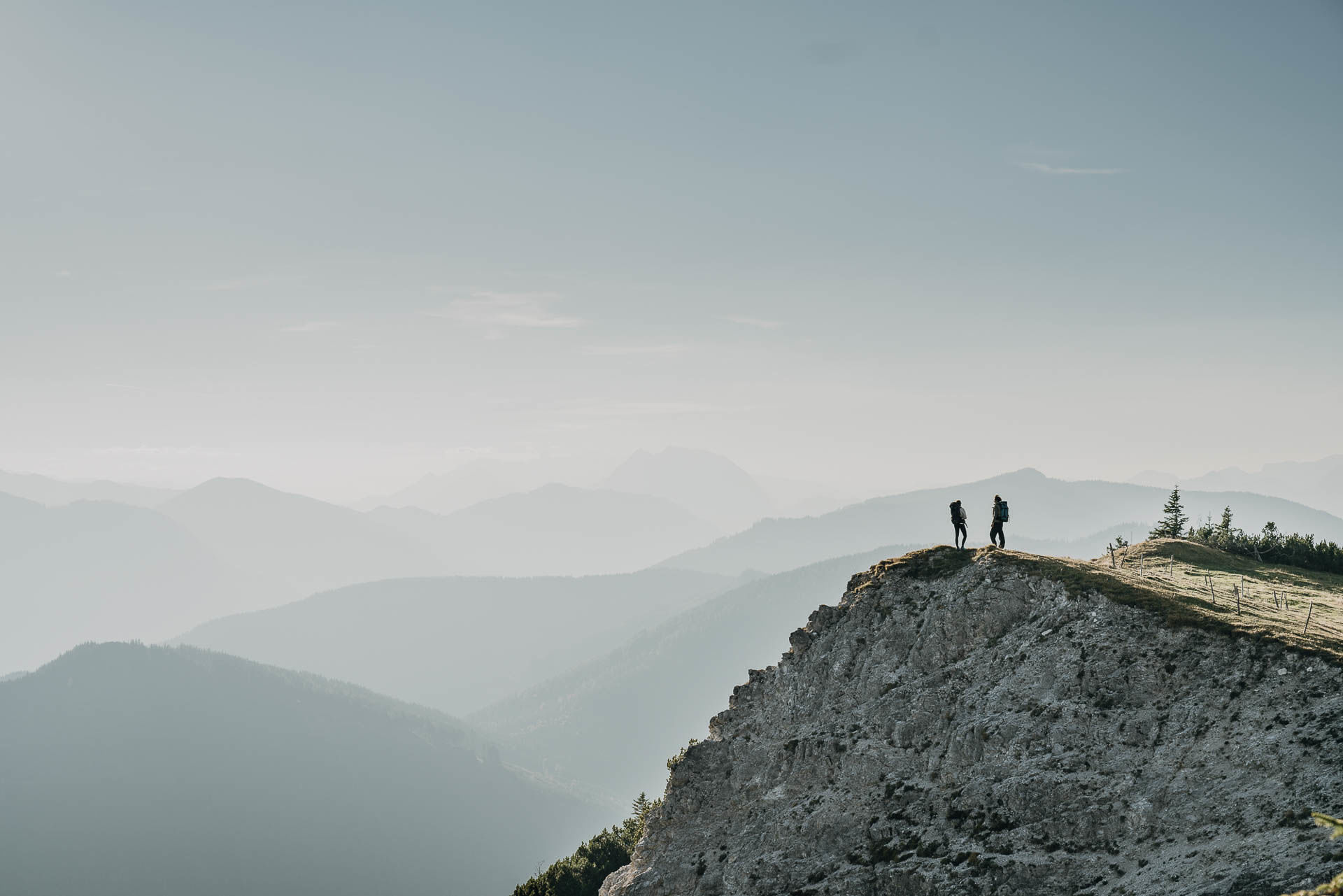
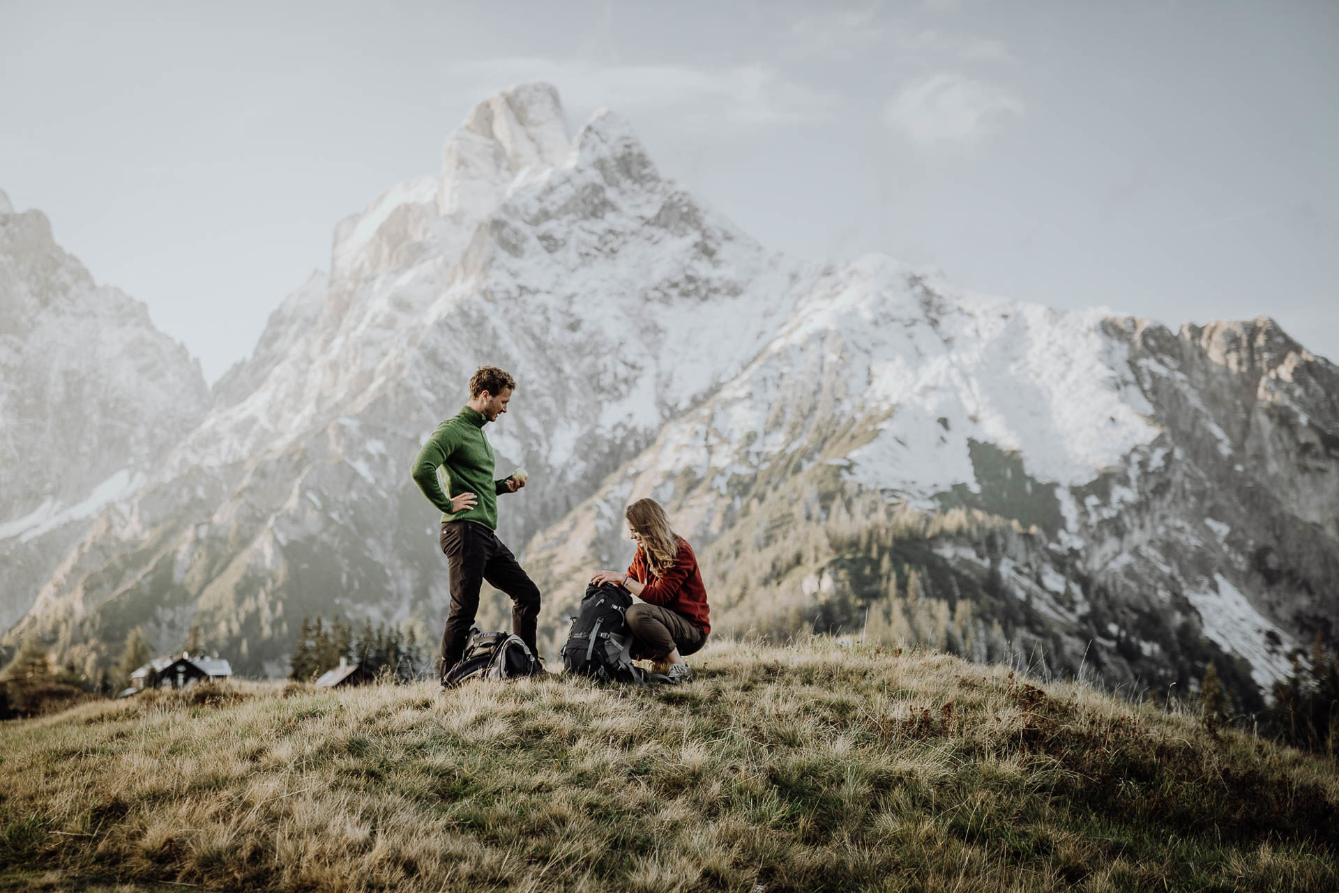
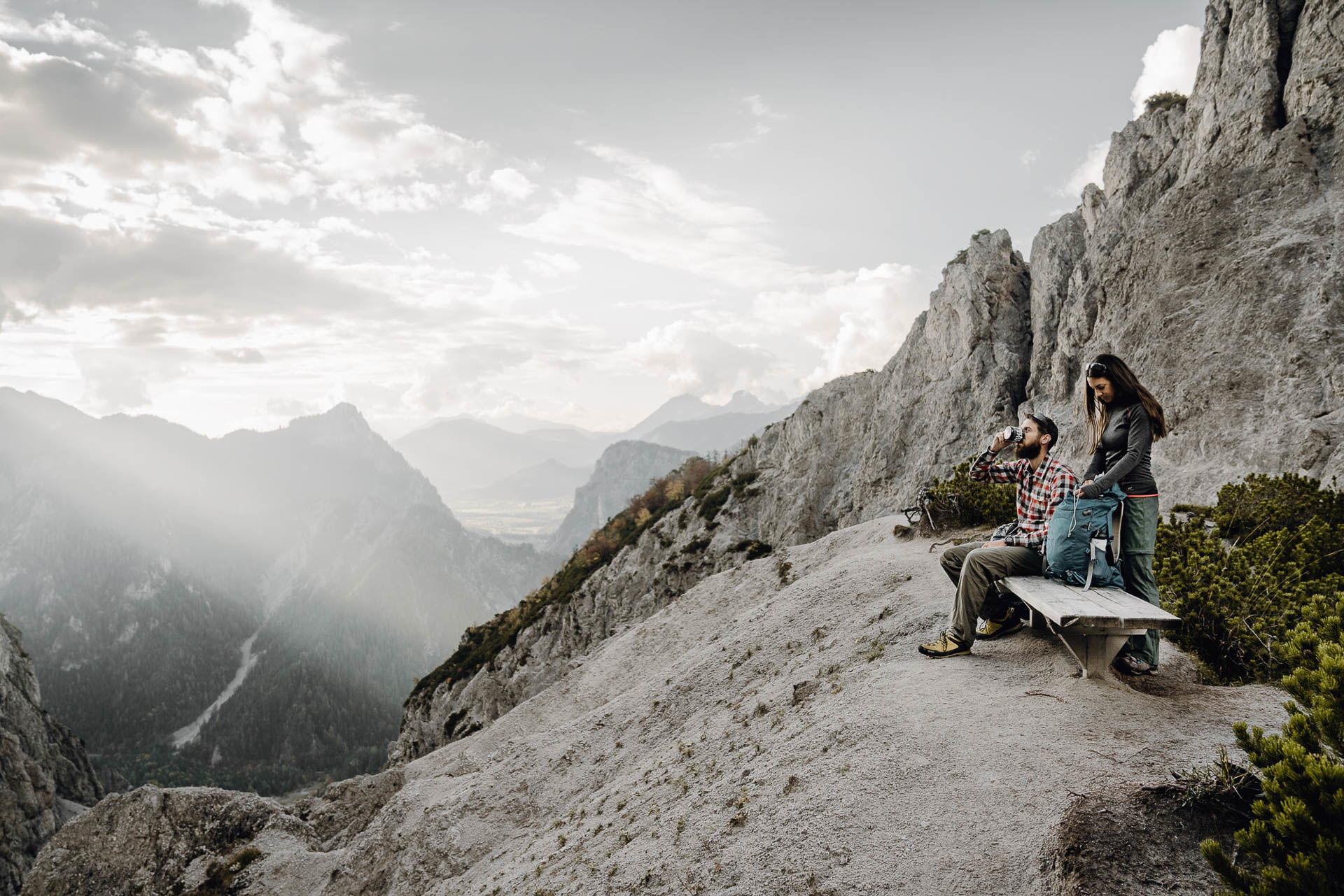
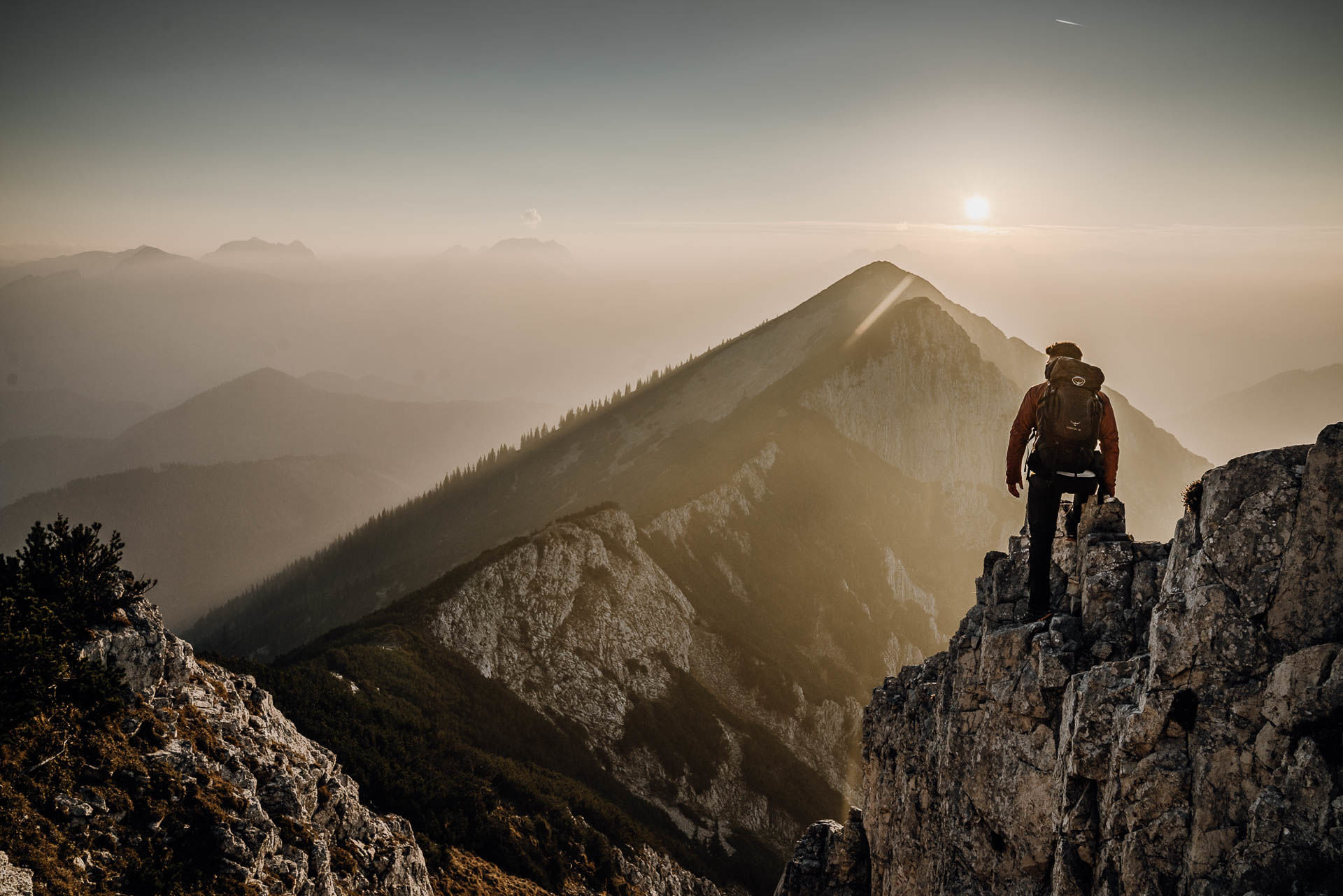
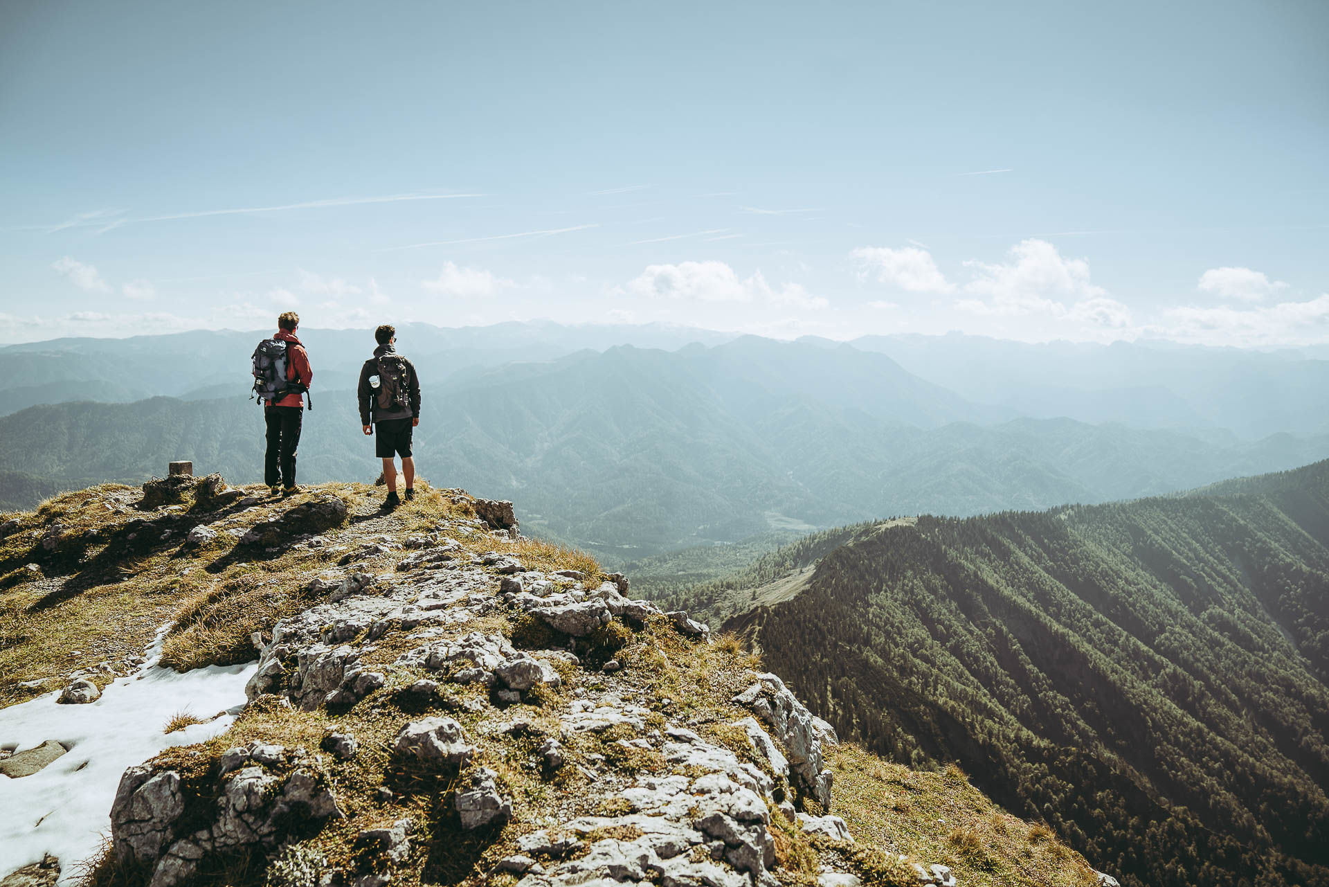
The Lynx Trail is a long-distance trail with 11 stages through three large internationally recognised protected areas and fringes Austria's first UNESCO World Heritage Site (beech forests). It goes through Austria's wild, wooded middle, repeatedly recognised by the Alpine Convention as a pilot region for its ecological network.
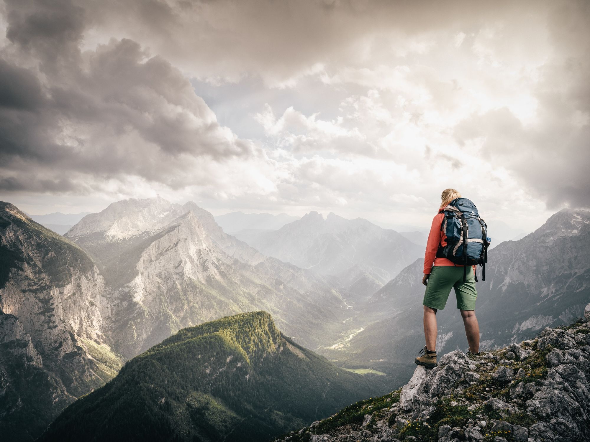
The stunning mountain landscape is probably the largest natural wooded area in central Europe. This is why the lynx was re-introduced here. The trail highlights the plight of this endangered animal, contributing to its protection and survival. A happy coincidence is that the trail also takes you through extremely attractive walking country.
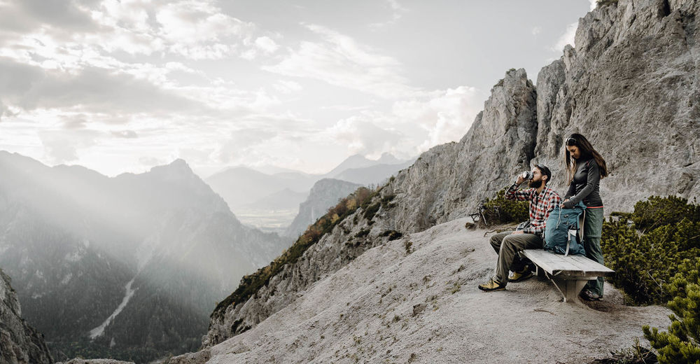
As a hiker on the Lynx Trail you will be challenged. The stages are long with steep ascents. Your senses will also be challenged - keep your eyes and ears open. But don't worry, even if you don't see a lynx, you will feel the presence of this amazing animal.
- Directions
-
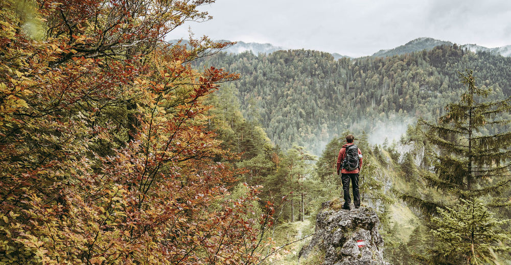
Stage 1: Reichraming - Anlaufalm
Entry into wilderness: through the Kalkalpen National Park's wild forests on stunning narrow trails.
Stage 2: Anlaufalm - Laussabaueralm
In the midst of the lynx's realm: through the lonely Hintergebirge to the rustic Laussabaueralm.
Stage 3: Laussabaueralm - Admont
Back to Civilization: over the Haller Walls to Admont with its famous Abbey.
Stage 4: Admont - Klinkehütte
Back to Nature: over the lonely Scheiblegger Hochalm into the sunny south-side of Gesäuse National Park.
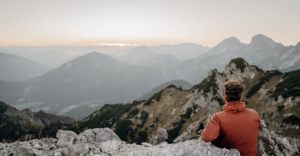
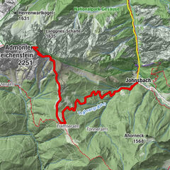
Stage 5: Klinkehütte - Johnsbach
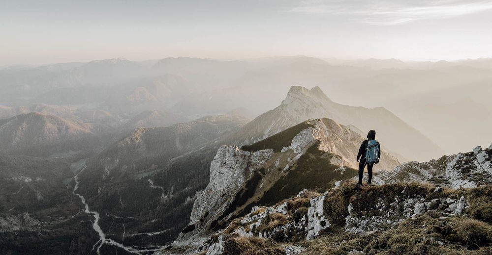
Far-reaching views: from the viewing platform looking towards the Gesäuse Mountains and the mountain-climbing village of Johnsbach.
Stage 6: Johnsbach - Ennstalerhütte
Worth seeing: a short valley stage to relax; or a tough spectacular alternative route into the Yosemite of Austria.
Stage 7: Ennstalerhütte - Mooslandl
Cross the northern Gesäuse Mountains past the Ennstaler mountain hut.
Stage 8: Mooslandl - Palfau
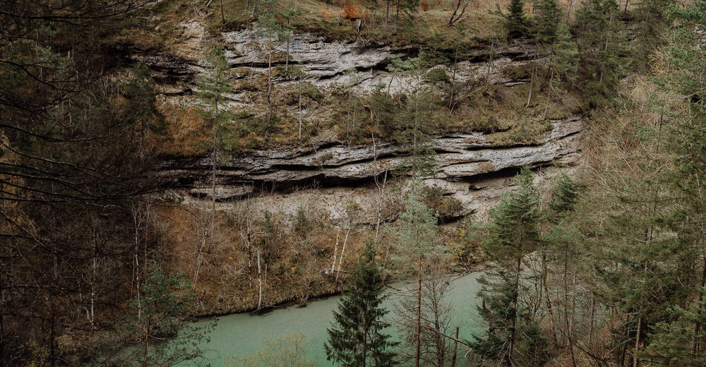
Varied: along the valley accompanied by the wild Salza river und through the impressive Noth Gorge.
Stage 9: Palfau - Lassing
Reward for hard work: grand finale in Mendlingtal at the finish of a long but beautiful stage, or an option to go over the Moaralm.
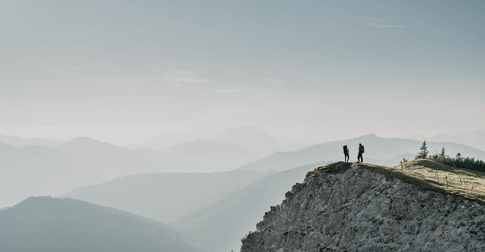
Stage 10: Lassing - Hochreit
Step into the wilderness: a lonely high-altitude hike past the Hochkar ski area to the Dürrenstein wilderness area.
Stage 11: Hochreit - Haus der Wildnis, Lunz am See
ATTENTION: The last stage of the Luchs Trail is diverted away from the Ybbstaler Hütte. You go via the Lechnergraben to Lunz. The ascent to the Dürrenstein is possible (2h), but you have to go back to the Ybbstaler Hütte. The detour is not marked as a lynx trail!
- Highest point
- 1,858 m
- Endpoint
-
Seehof-Lunz/See
- Height profile
-

- Equipment
-
Sturdy mountain walking boots or trail shoes, as well as a rucksack packed with essentials (water bottle, plasters for blisters, trail map, food etc.). You should also be well prepared for changes in the weather. If you are staying overnight in mountain huts don’t forget your sleeping bag!
- Safety instructions
-
Mountain Rescue 140
- Tips
-
So that you don't get lost, the Lynx Trail follows existing waymarked trails with the trail logo added. The Lynx Trail logo is usually attached to existing trail markers as an additional 10 x 13 cm sign. The arrows always point in the direction of Lunz am See. Sometimes only a sticker of the Lynx Trail logo is attached onto existing signs. Spray-painted markings of the logo along the route will also guide you.
www.nationalpark.co.at
We recommend that you contact the Lynx Trail Info & Booking Centre before you book.
See deals: bookyourtrail.com
Book the Trail now!
- Additional information
-
Lynx Trail Info & Booking Centre
Personal, simple and quick: Plan and book your personalised hiking trip online using the Lynx Trail Info & Booking Centre.
Along the Lynx Trail, take advantage of selected partner businesses, a handy luggage-and-shuttle service as well as the trail hotline.
Obervellach 15, 9821 Obervellach, AUSTRIA
Eintragungs-NR. Veranstalterverz. des bmwfi: 2016/0005
Tel.: +43 4782 93093
info@bookyourtrail.com
Lynx Trail Partners
National Park Tourism Association
Region Ennstal
Eisenstraße 75, 4462 Reichraming, AUSTRIA
Tel.: +43 7254 8414
info@nationalparkregion.com
Gesäuse Tourism Association
Hauptstraße 35, 8913 Admont, AUSTRIA
Tel.: +43 3613 21160 10
info@gesaeuse.at
Mostviertel Tourism Association
Töpperschloss Neubruck, Neubruck 2/10,
3283 Scheibbs, AUSTRIA
Tel.: +43 7482 204 44
info@mostviertel.at
- Directions
-
Via the Eisenbundesstraße (B115)
from 4400 Steyr - 4452 Ternberg - 4462 Reichraming Railway Station
from 3335 Weyer - 4463 Großraming - 4462 Reichraming Railway Station
- Public transportation
-
Arrive by train and bus. Travel by train to Reichraming Railway Station. Timetables at fahrplan.oebb.at/bin/query.exe/dn
- Parking
-
Reichraming Railway Station
Plan your Journey: plan your journey by train, car, bike or on foot.


-

-
AuthorThe tour Lynx Trail - Through Austria’s wild heartlands is used by outdooractive.com provided.


General info
-
Gesäuse
2222
-
Steyr und die Nationalpark Region
1370
-
Landl
179


 & Kaiserschild (rechts)")


