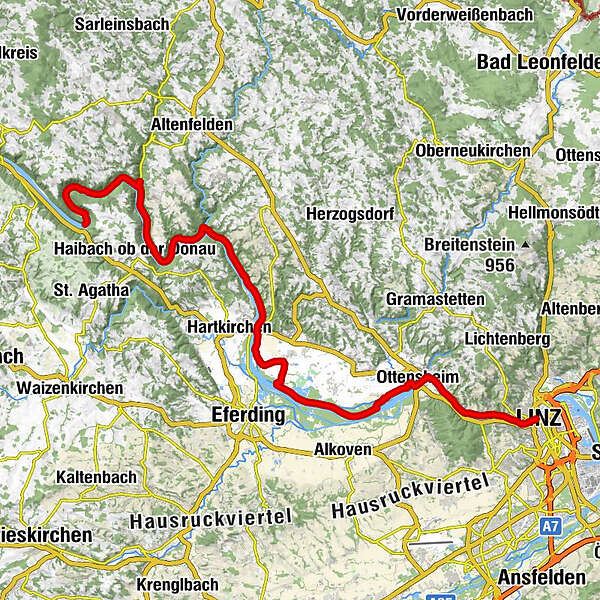
Danube Cycle Path Stage 2 North Bank: Schlögen - Linz


- Brief description
-
Lockouts and insights
- Difficulty
-
easy
- Rating
-
- Starting point
-
Schlögen
- Route
-
Au0.5 kmInzell3.7 kmGrafenau5.3 kmDonauparadies Gasthof Gierlinger8.4 kmFischgasthaus Aumüller9.3 kmObermühl an der Donau9.3 kmFilialkirche Obermühl an der Donau9.4 kmSchiffsanlegestelle9.5 kmRastplatz11.4 kmGasthof in der Exlau16.0 kmExlau16.7 kmPoint18.7 kmUntermühl19.6 kmGasthof Ernst19.7 kmSchiffsanlegestelle Untermühl19.7 kmBremsberg21.2 kmOberlandshaag28.3 kmUnterlandshaag29.0 kmFeldkirchen an der Donau32.4 kmWeidet33.6 kmRegatta44.5 kmOttensheim46.2 kmDonaubus46.3 kmGasthaus Dürnberg47.6 kmPuchenau West50.9 kmPuchenau52.3 kmSankt Andreas52.3 kmUrfahrwänd53.7 kmAlt-Urfahr55.4 kmNikolaikapelle55.6 kmDonaubus Anlegestelle55.7 kmLinz (266 m)55.8 km
- Best season
-
JanFebMarAprMayJunJulAugSepOctNovDec
- Description
-
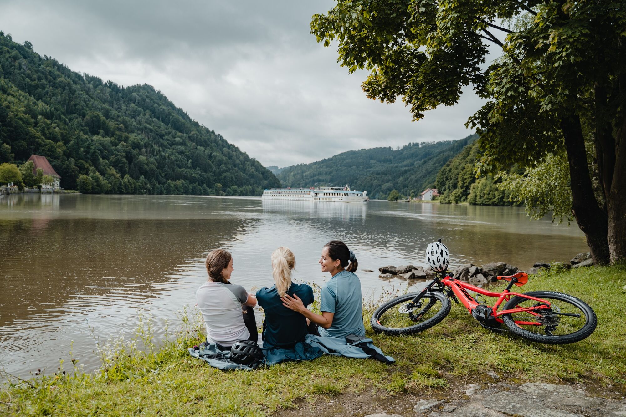
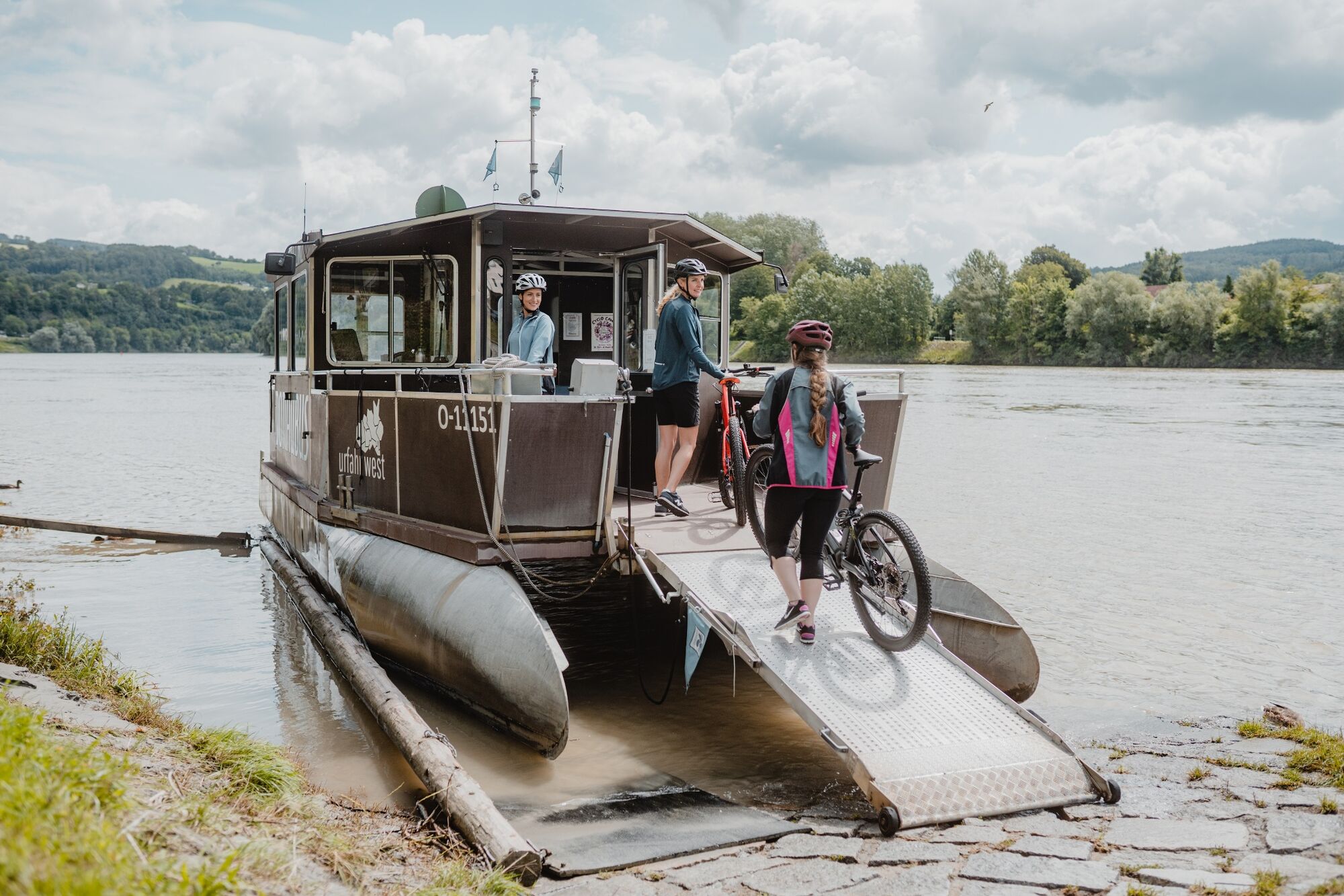
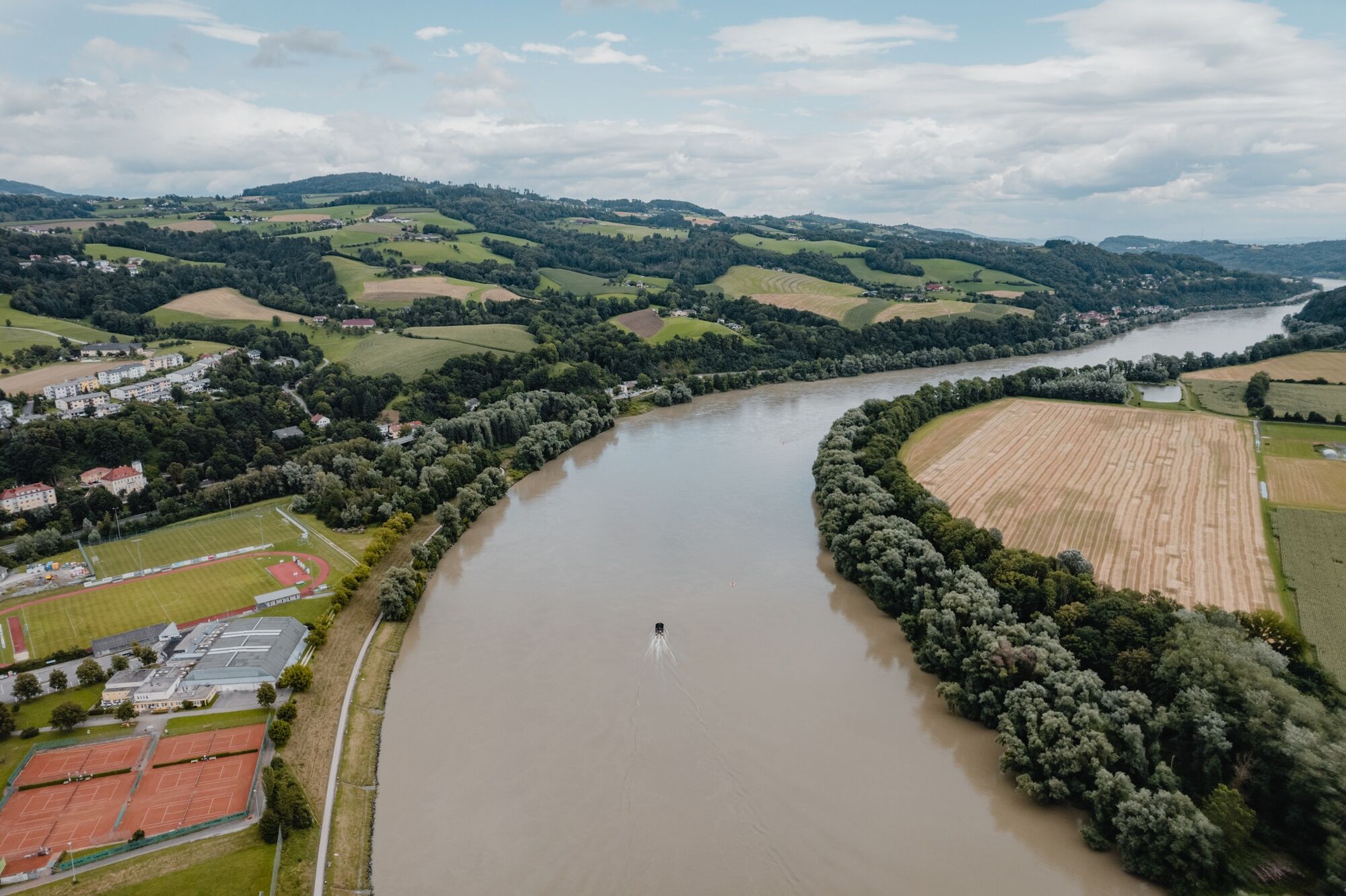
You start this day’s stage with a little 30 minute hike to an outlook called “Schlögener Blick” located above Schlögen. There you have a marvelous view of the famous meander in the Danube (Schlögener Schlinge”), which changes directions twice in a short distance, thereby creating this picturesque scenery. After a short ferry ride to Grafenau you hop back onto your bike and ride along the forested slopes of this free meander.
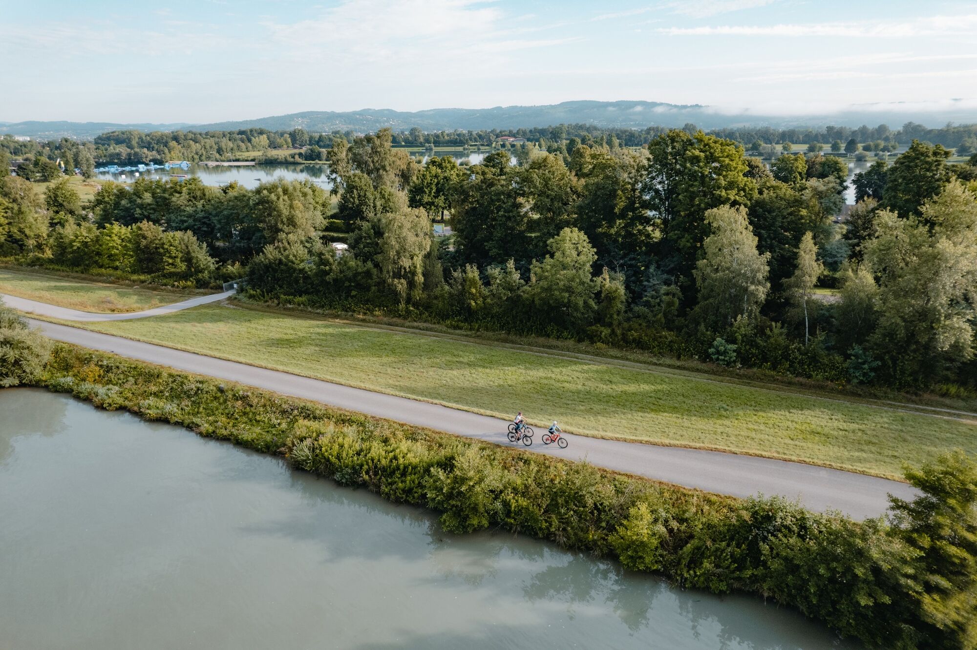
Going past the little village of Obermühl you soon reach the end of the meander near Untermühl, where you again take a short ferry ride. On a wooded rock you see Neuhaus Castle (private property) rising up above you. Its angular tower near the bank was once used to block the river with chains. A bit further downstream, near Unterlandshaag, the route takes you up-country through the friendly village of Feldkirchen. You can make a short side trip to Mühldorf Castle at this point, which is worth seeing but unfortunately can only be admired from the outside. Or you have the option of relaxing at the extensive local swimming lakes that feature water skiing lift, buffets and a nudist beach.
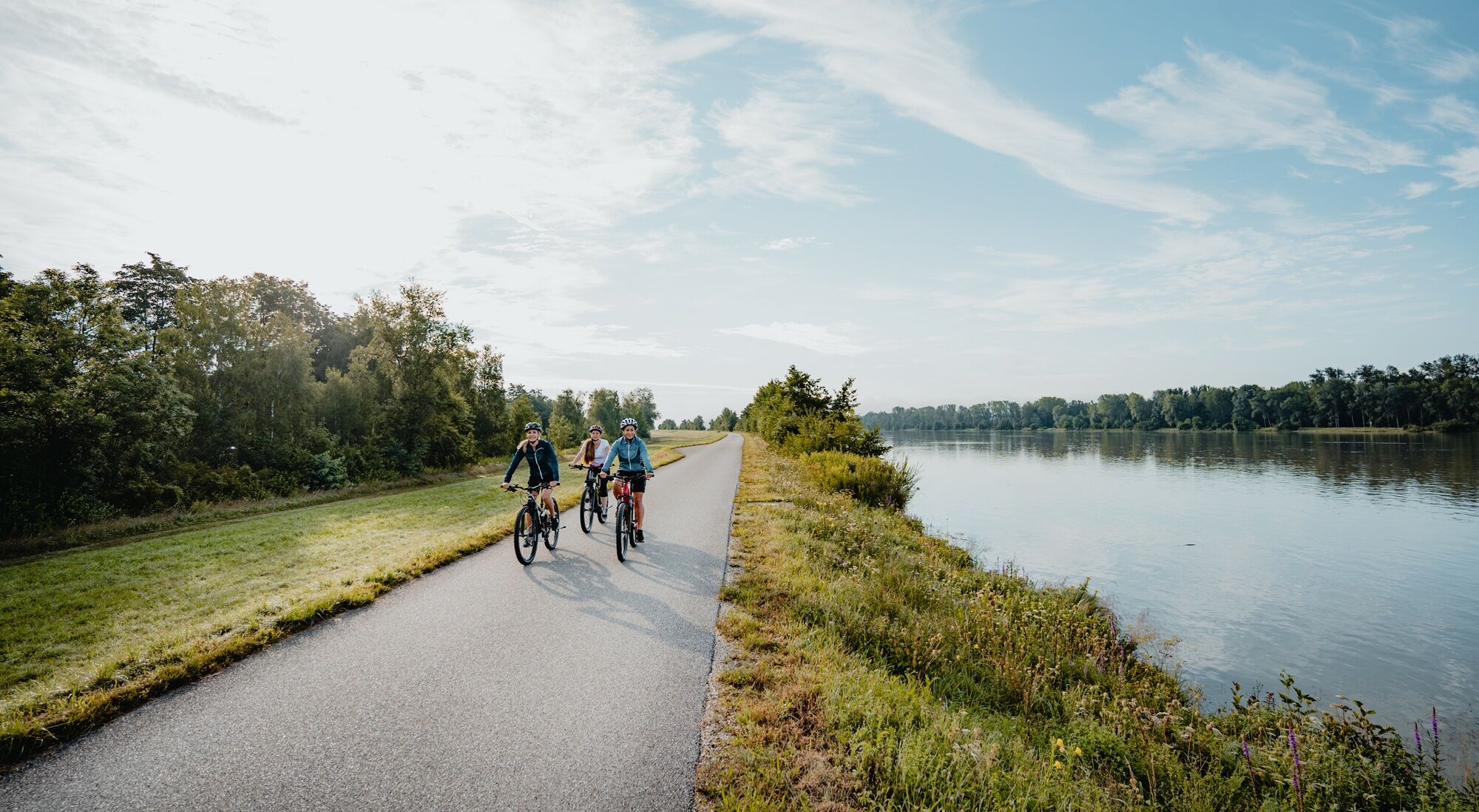
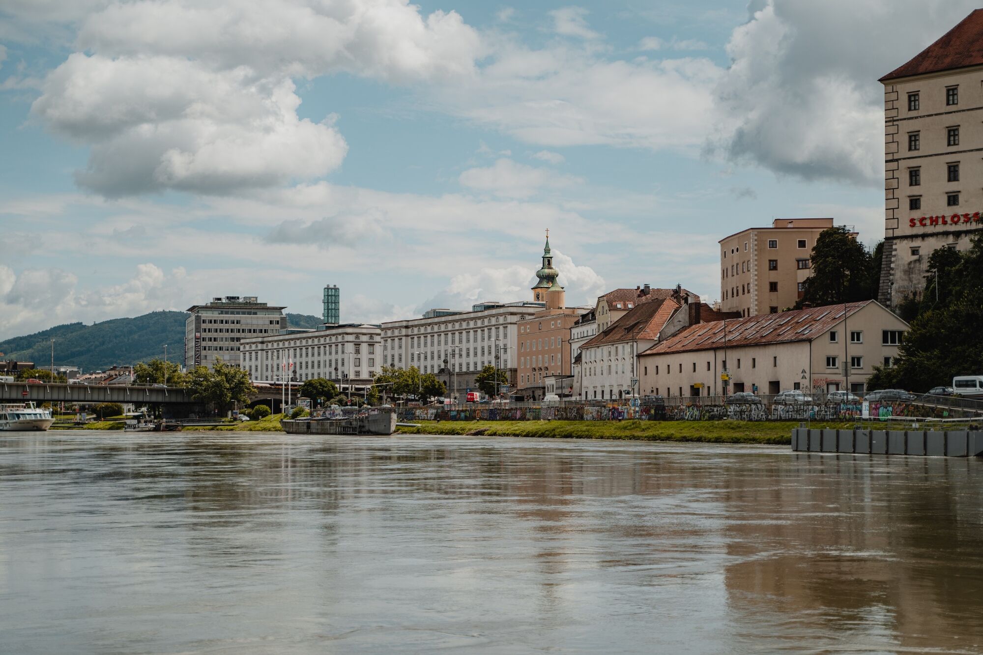
After riding a while, Ottensheim Castle bids you welcome from up on high, just above the market town of the same name. You have already done most of this stage, so you have a lot of time to explore Ottensheim with its charming 16th c houses. Not far from the market town you arrive at your destination of the day: Linz.
- Directions
-
Schlögen - Obermühl - Untermühl - Unterlandshaag - Feldkirchen - Ottensheim - Linz
Route description
You begin your tour in Schlögen where you take the bicycle ferry to cross over to the north bank of the Danube and bridge a section of bank without a path on the Längsfähre Au-Grafenau (ferry). Once you have your feet back on solid ground, you continue along, take the little swerve in Obermühl and arrive after some time in Untermühl. Above you, you see Neuhaus Castle and its chain tower.
At Unterlandshaag across from the Danube market town of Aschach you bid the Danube farewell and follow the path through Feldkirchen, a rural cultural landscape and an important region for fruits and vegetables. Here you can admire a splendid mediaeval building. Schloss Mühldorf (a hotel) is privately owned, which is why it can only be viewed from the outside.
Just after you pass Feldkirchen, the path returns again to the banks of the Danube. You pass the Feldirchen swimming lakes. It is worthwhile to take a break here and jump into the cool water (water skiing, diving, wakeboarding, etc.). Afterwards you proceed to Ottensheim, where you take a final rest to eat at one of the many restaurants. From there it is only a bit further to Linz and its cathedral, which you can already admire from a distance.
TIP: At the end of this stage, enjoy a train ride on the Mühlkreisbahn from Ottensheim to Linz.
- Highest point
- 305 m
- Endpoint
-
Linz
- Height profile
-

- Tips
-
Please note the summer opening times of the ferries and the winter closures.
- Directions
-
Follow the Nibelungen Straße (B130) to Schlögen.
- Public transportation
-
Take the bus to the stop Schlögen-Innzell junction .
- Parking
-
Parking lots at the Hotel Donauschlinge.


- Author
-
The tour Danube Cycle Path Stage 2 North Bank: Schlögen - Linz is used by outdooractive.com provided.