
- Route
-
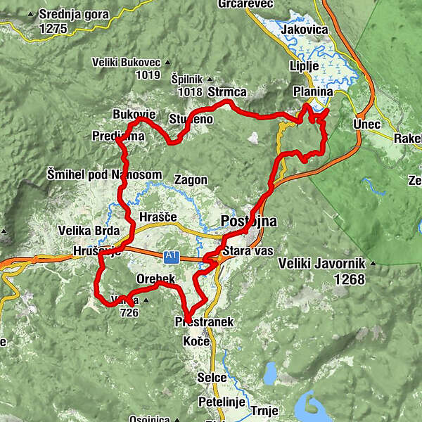
Minutka0.2 kmAdelsberg0.2 kmSovič0.4 kmSpodnji INCIS0.5 kmZgornji INCIS0.9 kmAdelsberger Pforte (606 m)2.5 kmŠkratovka jama10.4 kmLohača17.1 kmStrmca18.0 kmStudeno20.1 kmBelsko23.1 kmBukovje24.7 kmPredjama26.1 kmGostilna Požar26.2 kmPredjamska gostilnica "Predjamka"26.2 kmŽalostna Mati Božja26.3 kmLandol29.0 kmDilce32.1 kmGostilna - Picerija Hruševje33.8 kmCerkev sv. Jedert34.1 kmHruševje (563 m)34.1 kmSajevče36.1 kmRakulik37.9 kmBrlog40.0 kmOrecca di Postumia (564 m)41.0 kmSveti Florjan41.1 kmNa gradu43.9 kmGostilna Grad Prestranek43.9 kmMategna (529 m)45.6 kmŠtivan45.7 kmGrobisce (543 m)46.8 kmSaloga di Postumia50.2 kmKazarje51.0 kmAdelsberg52.3 km
- Description
-
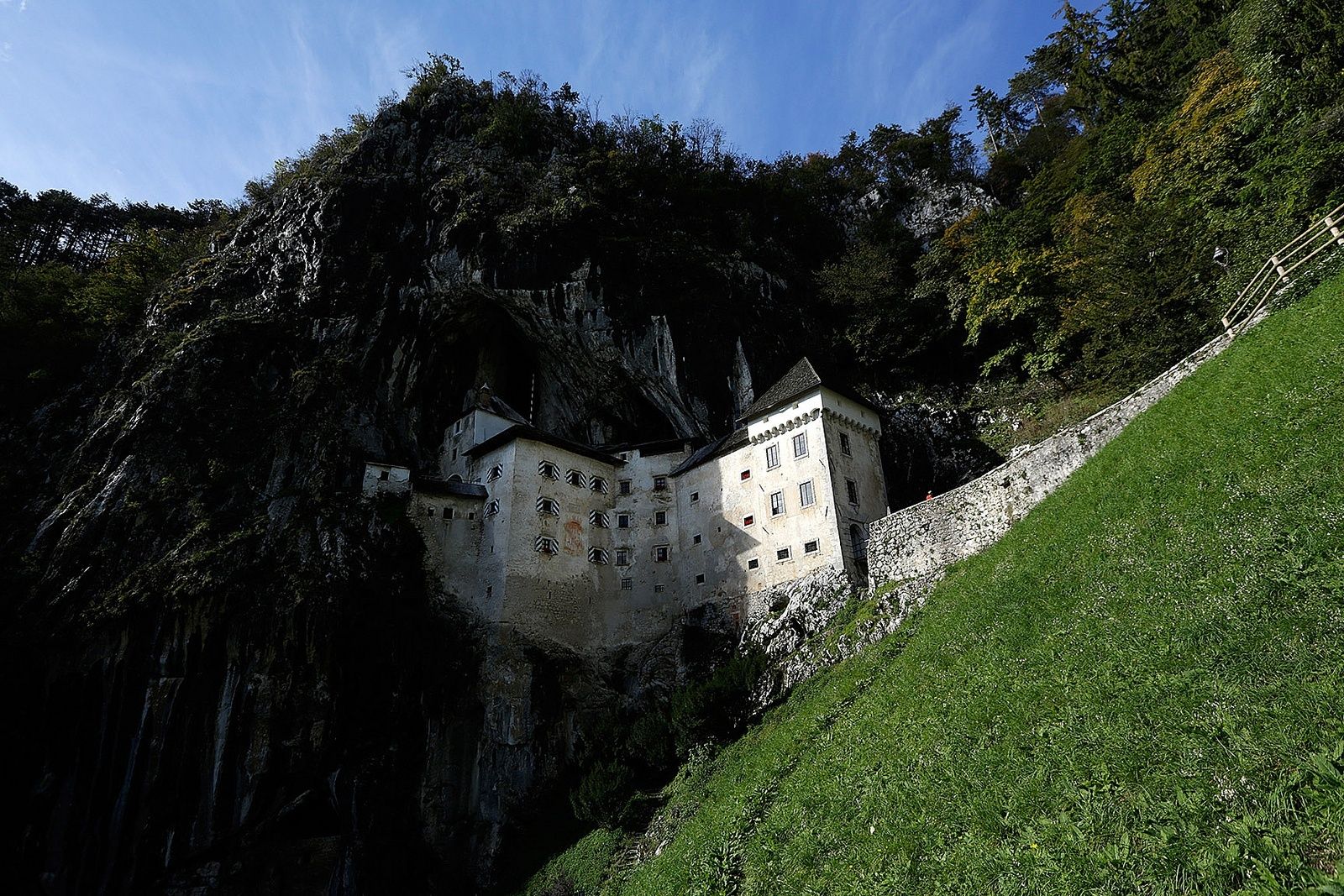
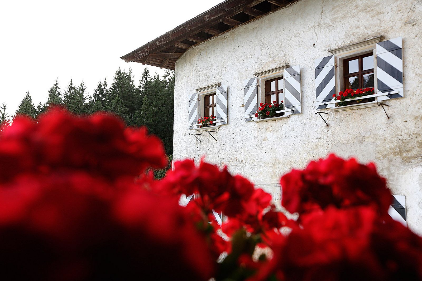
Your trip begins in the town of Postojna (Sport Hotel) and then takes you along the paths of the medieval knights. On the path past numerous villages and churches you will encounter three medieval castles: the Prestranek Castle, the Orehek Castle and the Predjama Castle, ruins of the once mighty baroque castle Haasberg and the Ravbar Tower which is the only preserved remainder of the former Small Castle. You can make the path more interesting by visiting Postojna Cave, the cave under the Predjama Castle, go horse riding on the estate of the Prestranek Castle, hiking on St. Laurence Hill or birdwatching. A cycling guide and map are available.
Source: www.zelenikras.si
- Highest point
- 695 m
- Height profile
-
 © outdooractive.com
-

-
AuthorThe tour Castle Path is used by outdooractive.com provided.