© http://zelenikras.si/ - EVA dinarica


- Route
-
Prevallo0.0 kmGostilna NANOS0.0 kmSv. Urh2.4 kmVeliko Ubeljsko (588 m)2.4 kmStrane6.2 kmSv. Križ6.3 kmSv. Mihael9.4 kmŠmihel pod Nanosom9.6 kmLandol11.0 kmStudeno17.4 kmStrmca19.3 kmLohača20.0 kmPlanina24.7 kmSveti Križ25.2 km
- Description
-
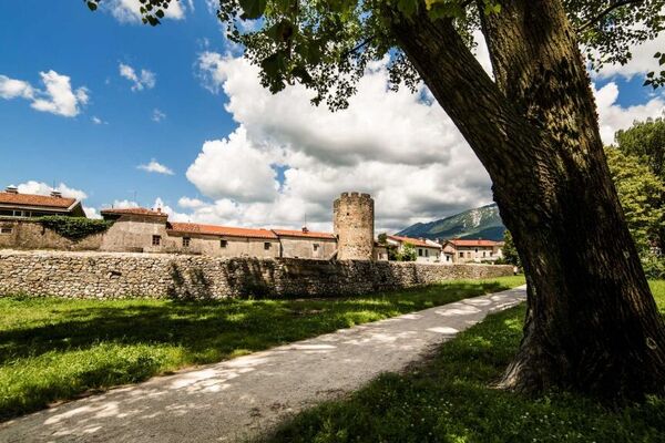
Mast road, named after the masts which were transported through this area to the ports in Adriatic, is one of the oldest road connections over the famous Postojna gate. This represents relatively wide, low and strategically important pass from North Adriatic to Middle Europe. There are 18 points with informational signs on marked trail between Planina and Razdrto.
http://zelenikras.si/en/attractions/theme-trails
- Highest point
- 752 m
- Height profile
-
 © outdooractive.com
 - Additional information
-
Area offers excellent starting point for bicycle and hiking trips.

-

-
AuthorThe tour Mast Road is used by outdooractive.com provided.
GPS Downloads


Other tours in the regions