- Brief description
-
Borderlands where smugglers played cat and mouse
- Difficulty
-
easy
- Rating
-
- Starting point
-
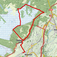
N68 Eynatten > Aachen | Parking at the border crossing "Köpfchen" GPS: 50.724594, 6.089911
- Route
-
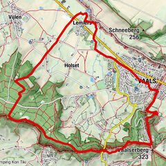
KöpfchenTatarenkopf (278 m)0.2 kmMANNEKENFRIT1.6 kmFlög2.7 kmVärkenskull / Ferkenskull3.9 kmKöpfchen6.1 km
- Best season
-
JanFebMarAprMayJunJulAugSepOctNovDec
- Description
-
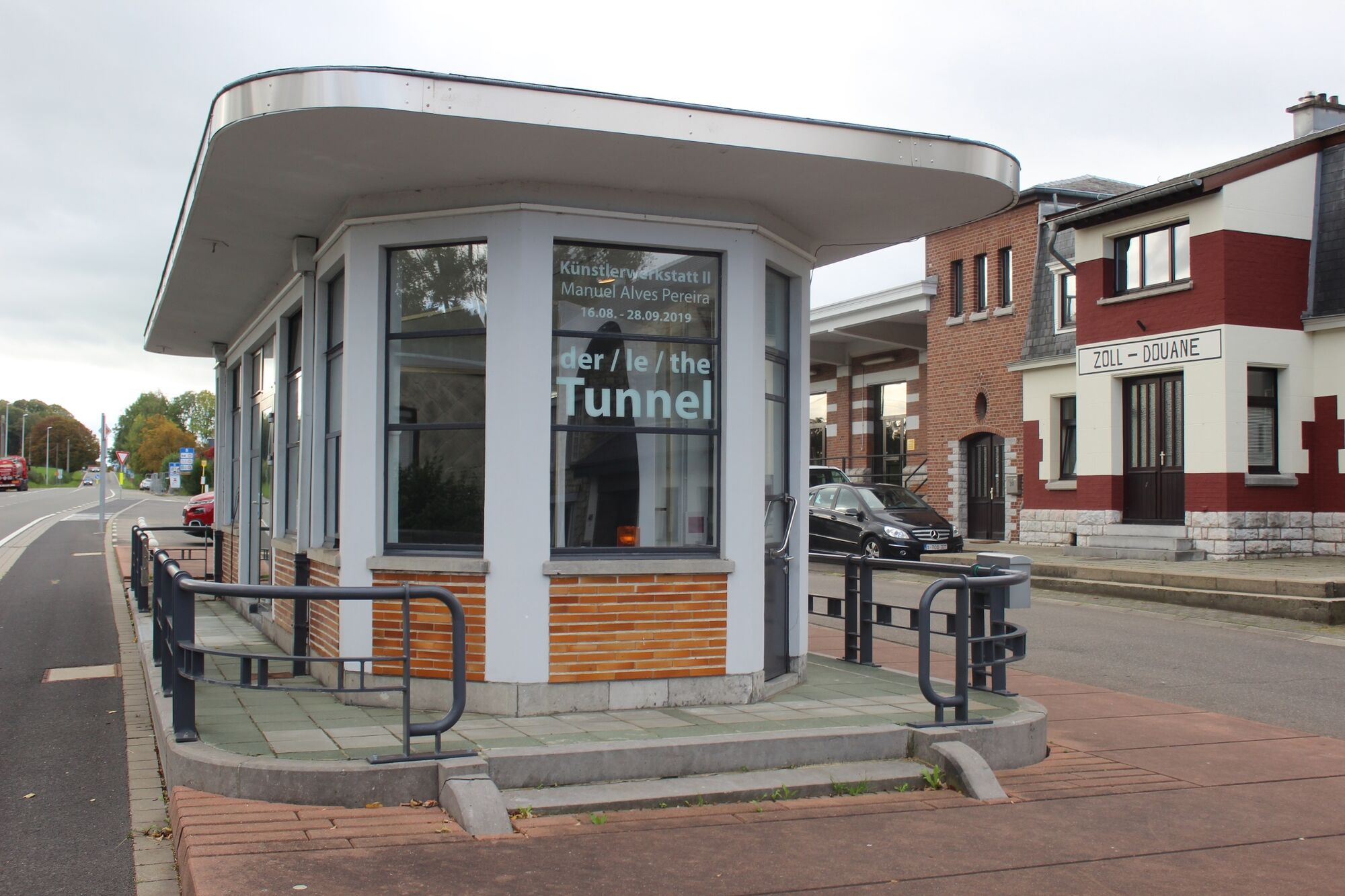
This walk begins at the border crossing at Köpfchen. Here you can stand with one foot in Belgium and the other in Germany. The former customs house is where travellers used to have to show their passports before they were allowed to cross the border. Cars were often searched by the border police, because a lot of smuggling was going on. Now the customs house is a centre for art and culture.
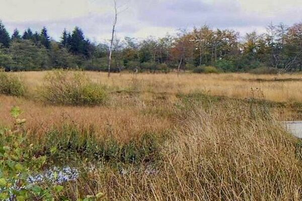
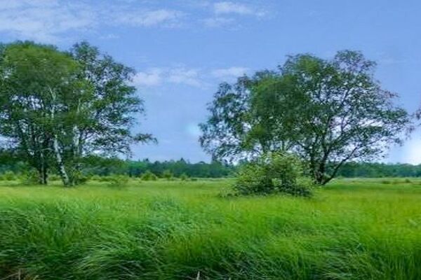
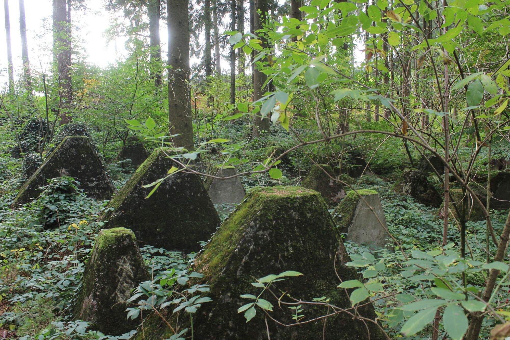
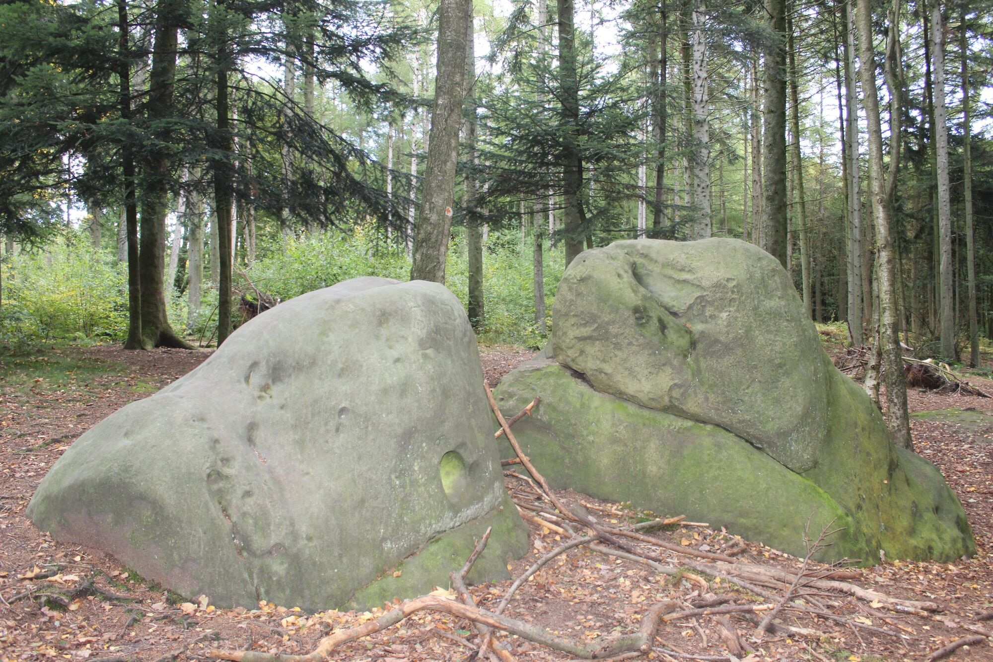
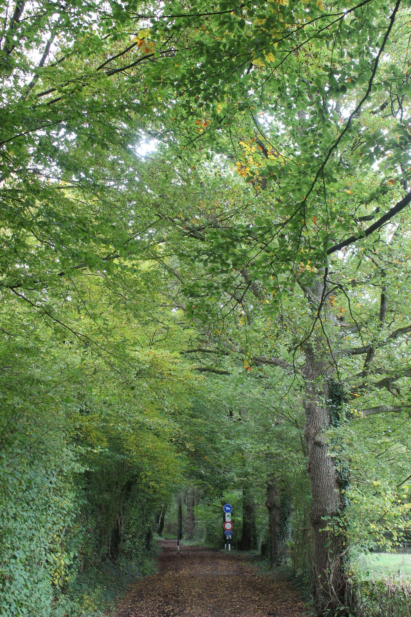
The walk around the Köpfchen border crossing is hilly and for the most part passes through woods. You cross borders several times, often without realizing. One of these is the Aachener Landgraben, an earth rampart lined with ditches that once marked the boundary of the city of Aachen. You can still see the remains of the old beech hedge that crowned the top of the ramparts. In the past, the few openings through the hedge were controlled by border guards and blocked off with wooden beams at night. In the last third of the walk, which takes you back to the German border, you will come across a mass of stones called “dragon’s teeth” – because that’s what they look like. They were designed to stop tanks from passing through here during the Second World War. Today they have become a refuge for plants and animals – and they are a good place for children to hide as well!
- Highest point
- 296 m
- Endpoint
-
N68 Eynatten > Aachen | Parking at the border crossing "Köpfchen" GPS: 50.724594, 6.089911
- Height profile
-
 © outdooractive.com
 - Equipment
-
Make sure to wear hiking shoes and clothes according to the weather.
- Safety instructions
-
Somewhat suited for prams
- Tips
-
More information under: www.ostbelgien.eu/en/walking/walking-with-kids
The brochure is only available in German, French and Dutch.
- Additional information
- Public transportation
- Parking
-
Parking at the border crossing "Köpfchen"

- Author
-
The tour Kids on Tour - Boundary hedges and dragon's teeth is used by outdooractive.com provided.


General info
-
Weserland / Belgisch - Limburg
376
-
Aachen
110