Grubengelände Littfeld- Former quarry area east of Kreuztal-Littfeld


- Brief description
-
Only a few plant species can tolerate a high metal content in the soil. Such survivalists flourish at the former mining area near Littfeld. Here, centuries of iron ore mining took place.
- Difficulty
-
medium
- Rating
-
- Starting point
-
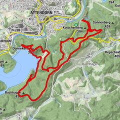
Hiking car park on the Altenberg between Müsen and Littfeld
- Route
-
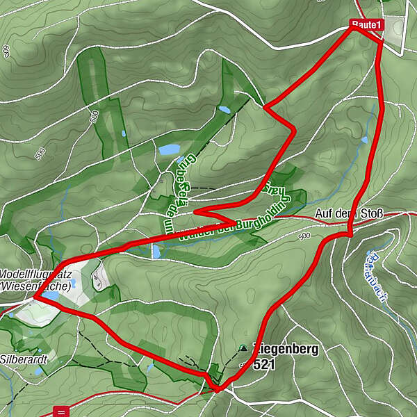
Ziegenberg (521 m)0.3 kmAuf dem Stoß1.3 km
- Best season
-
JanFebMarAprMayJunJulAugSepOctNovDec
- Description
-
The former iron ore mines "Anna", "Heinrichssegen", "Altenberg" and "Viktoria", all of which belonged to the Müsener mining area, are located between the old mining villages of Littfeld and Müsen. This area was at times one of the major suppliers of iron in Germany.
Although metal ore mining was discontinued in the Littfeld mining area in 1965, the dumps are still largely unforested as the soil is contaminated with various metals. Such high concentrations of metals can only be tolerated by specialized plants, the so-called "calamine vegetation", which is represented in Littfeld by Haller's Thrift and Bladder Campion. When these bloom in June, Heath Spotted Orchids also adorn the roadsides between Müsen and Littfeld.
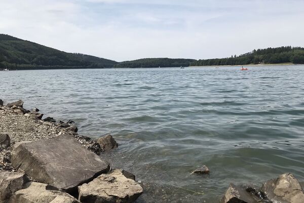
The mines are surrounded by extensive forests, from which numerous amphibians migrate in spring to their spawning waters. There is even a population of the rare Great Crested Newt here. This is our largest native newt and gets its name because of the high, jagged crest along its back during the mating season. Its occurrence is one of the reasons why the area has been designated as a nature reserve of European importance.
- Directions
-
Close to the hiking car park Altenberg you encounter one of the most important archaeological monuments in Southern Westphalia: "Bergbauwüstung Altenberg", which are the ruins of an ancient mining settlement. Illustrated information panels give you a good impression of the medieval mining settlement. Further on, the hiking trail takes you through the adjacent forests. Finally, you reach the heart of the reserve, with its mine dump area, from where the trail takes you uphill again to the car park.
- Highest point
- 541 m
- Endpoint
-
Hiking car park on the Altenberg between Müsen and Littfeld
- Height profile
-
 © outdooractive.com
 - Equipment
-
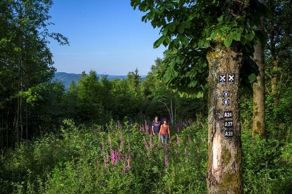
Sturdy footwear is advised for this hike. Since there are no refreshment facilities along the trail, you should take adequate food and drink with you.
- Tips
-
The area shows at its best in June when, in addition to the flowering calamine plants, the large mine pond is decorated with the bright yellow blooms of Water Lilies and Yellow Flag Irises, and the Heath Spotted Orchid is in flower along the Müsener Straße.
- Additional information
- Directions
-
The best starting point for a circular hike is the hiking car park on the Altenberg between Müsen and Littfeld. It is located exactly on the saddle between the villages (in winter this road is closed). Alternatively, if you are coming from Littfeld Railway Station, you can access the circular trail at the mine site.
Address for satnavs: Müsener Straße 56a, 57223 Kreuztal-Littfeld
GPS (UTM): 32 U 430050 5650848
Google coordinates: 51.005099, 8.003042
- Public transportation
-
You can take the train to Littfeld Railway Station and walk from there about 1.2 km along the road to Müsen until you reach the mine site.
- Parking
-
Wanderparkplatz (hiking car park) on the Altenberg between Müsen and Littfeld.


- Author
-
The tour Grubengelände Littfeld- Former quarry area east of Kreuztal-Littfeld is used by outdooractive.com provided.