- Brief description
-
Interesting and very easy stage with the lowest elevation gain; the small ups and downs are barely noticeable.
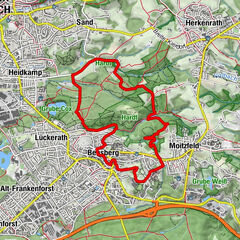
This extensive flat stage is characterised by several pretty paths beside many lakes and through agricultural landscapes – and past a GIGA electric power line
- Difficulty
-
medium
- Rating
-
- Starting point
-
Bleer Straße in Monheim am Rhein
- Route
-
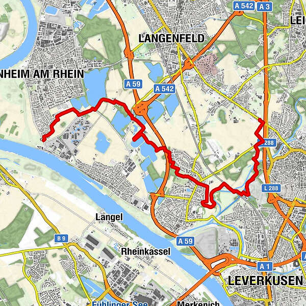
Dormagen0.1 kmMonheim am Rhein (40 m)1.1 kmLangenfeld (47 m)3.6 kmVoigtslach5.5 kmLeverkusen (60 m)11.8 km
- Best season
-
JanFebMarAprMayJunJulAugSepOctNovDec
- Description
-
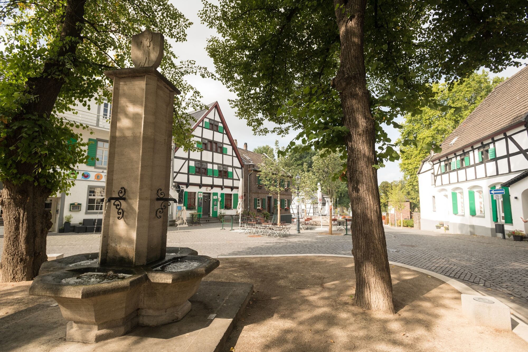
Monheim to Langenfeld-Reusrath
In Monheim, we first head eastwards through Bayer land: the chemical company’s crop protection centre and the fields we pass through are to all intents and purposes Bayer’s experimentation meadows.
Later, we pass a grand building, the Laach Castle (Schloss Laach), constructed in 1911 in the Dutch Baroque architectural style.
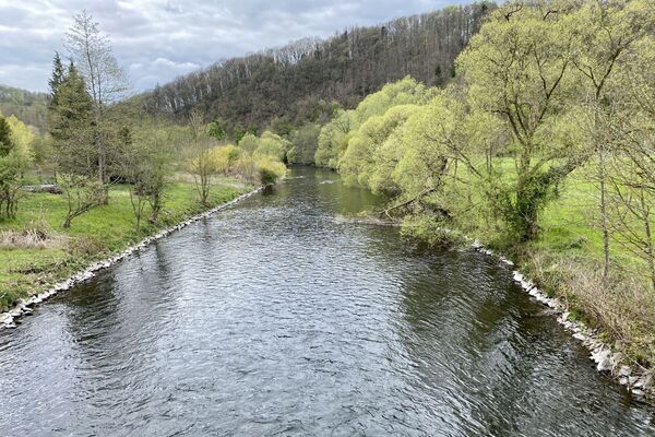
Then we walk by the “Blue Danube” Baggersee and the Hitdorfer See; at the latter we can take a dip!
The neanderland STEIG continues through the village of Mehlbruch and finally into the Wupper plain and then alongside the river itself.
But we do not cross the Wupper; instead we turn northwards, until we reach the finish in Langenfeld-Reusrath.
- Highest point
- 66 m
- Endpoint
-
Opladener Straße in Langenfeld-Reusrath
- Height profile
-
 © outdooractive.com
 - Equipment
-
Wear good walking shoes.
The path runs beside cool streams, through deep forests, and over windy hills; depending on the time of year and the weather, you may need to take a coat.
- Safety instructions
-
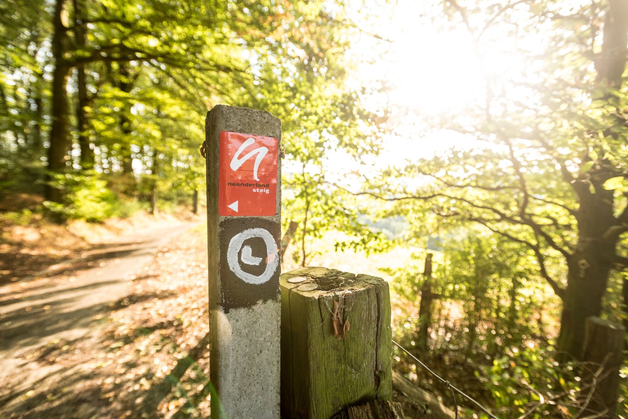
Please stay on the paths.
The narrow paths can be slippery in places, particularly in wet weather.
Be careful at the edges of steep faces, keep your distance.
- Arrival
-
Use the app’s journey planner
- Public transportation
-
Start:
Alfred-Nobel-Straße bus stop: 233, 790 and 793
Creativ Centrum bus stop: 219, 790, 793 and SB 79
Hitdorf/Langel Ferry (Fähre) - via 2.9 km marked path
Finish:
Opladen Station (Bf) – via 2.2 km marked path
Rothenberger Straße bus stop: 231 and 232
- Parking
-
Parking at Gut Blee
Parking spaces along Opladener Straße
- Author
-
The tour 14 Monheim am Rhein to Langenfeld-Reusrath is used by outdooractive.com provided.