
- Brief description
-
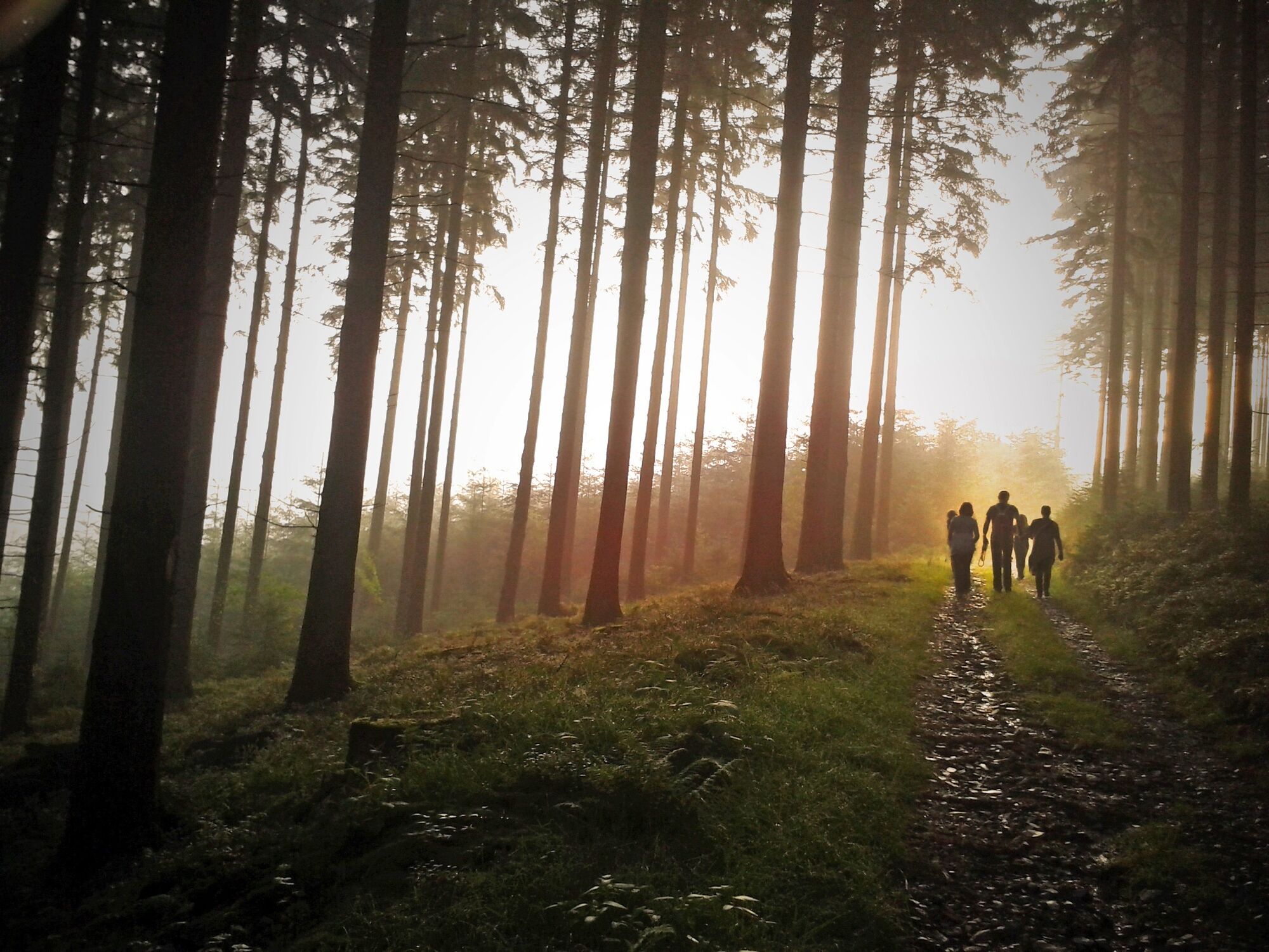
Take a walk through the secretive forests around the mystical “Teufelskanzel” (“devil’s pulpit”) with fantastical tales from the Wittgensteiner Land region.
- Difficulty
-
medium
- Rating
-
- Starting point
-
At the Haus des Gastes in Bad Laasphe
- Route
-
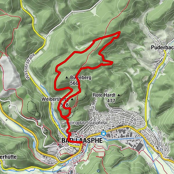
Bad LaaspheStadtkirche Bad Laasphe0.1 kmWeibersberg (516 m)8.8 kmBad Laasphe11.0 kmStadtkirche Bad Laasphe11.1 km
- Best season
-
JanFebMarAprMayJunJulAugSepOctNovDec
- Directions
-
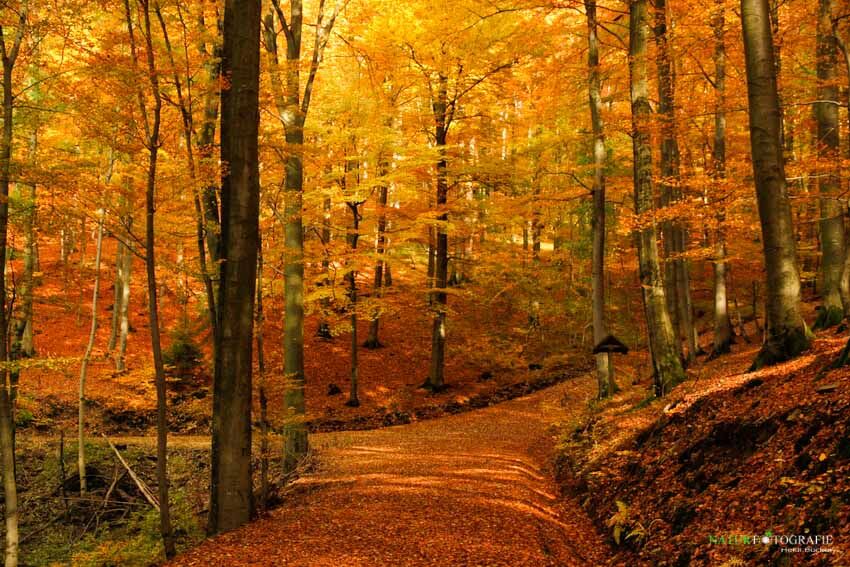
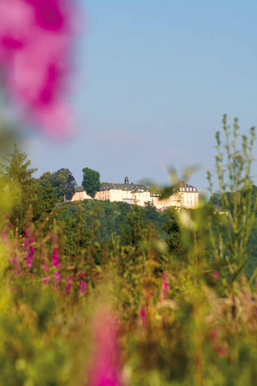
From the “Haus des Gastes” tourist centre with its Pilzkundemuseum (mycology museum), walk through the picturesque old town centre of Bad Laasphe up to the “Zur Teufelskanzel” mountain hut. There, on the hill above the Laasphetal valley, a story is told from the “Laasphe Sagenborn” book of legends, with a view onto the majestic ancestral palace of the counts of Wittgenstein. A short while later, the circular route itself begins, which you follow on the left on the slope of the Laasphetal valley, walking slowly uphill until you reach the Neesbachtal valley. You are accompanied by the tale of the wild hunter in the Botzebachtal valley and the unhappy countess Elisabeth Charlotte. In a mystical atmosphere and after a calming view out onto the idyllic Nessbachtal valley, walk up to the plateau below the Hainrot hill, where a group of seats in a forest glade under mature chestnut trees is a good place to stop for a rest halfway along the route. Start the return stretch by walking through a wonderful upland beechwood above the Puderbachtal valley, and learn some information about Bonifatius’ stay in Puderbach. Shortly before the Krautkopf hill, the enchanted forest opens out onto a beautiful view over the Wittgensteiner Bergland region. You then reach the impressive Teufelskanzel rocks, from where the witches set off on their flight to the “Teufelslücken”, or “devils’ holes”. With another impressive view onto Schloss Wittgenstein palace, the route continues through woods and past meadows back to Bad Laasphe.
- Highest point
- 581 m
- Endpoint
-
At the Haus des Gastes in Bad Laasphe.
- Height profile
-
 © outdooractive.com
 - Equipment
-
The tour does not require any particular equipment; a hiking map and rainwear, if necessary, are recommended.
There are many places to stop for refreshment at the start and end of the tour.
- Tips
-
It’s worth paying a visit to the unique mycology museum and the radio museum at the end of the walk.
- Additional information
- Parking
-
Free parking at the town hall.
-

-
AuthorThe tour Myth and legend path is used by outdooractive.com provided.
GPS Downloads


General info
Refreshment stop
Cultural/Historical
A lot of view
Other tours in the regions
-
Westerwald / Hessen
714
-
Ederbergland
735
-
Bad Laasphe
92