© Harzklub Hohegeiß e.V., F. Schwarz - Nicole Nutzeblum

© Harzklub Hohegeiß e.V., F. Schwarz - Nicole Nutzeblum

© Harzklub Hohegeiß e.V., F. Schwarz - Nicole Nutzeblum

© Harz: Magische Gebirgswelt - Jörg Kühnhold

© Braunlage Tourismus GmbH - Nicole Nutzeblum
- Brief description
-
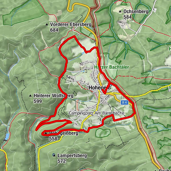
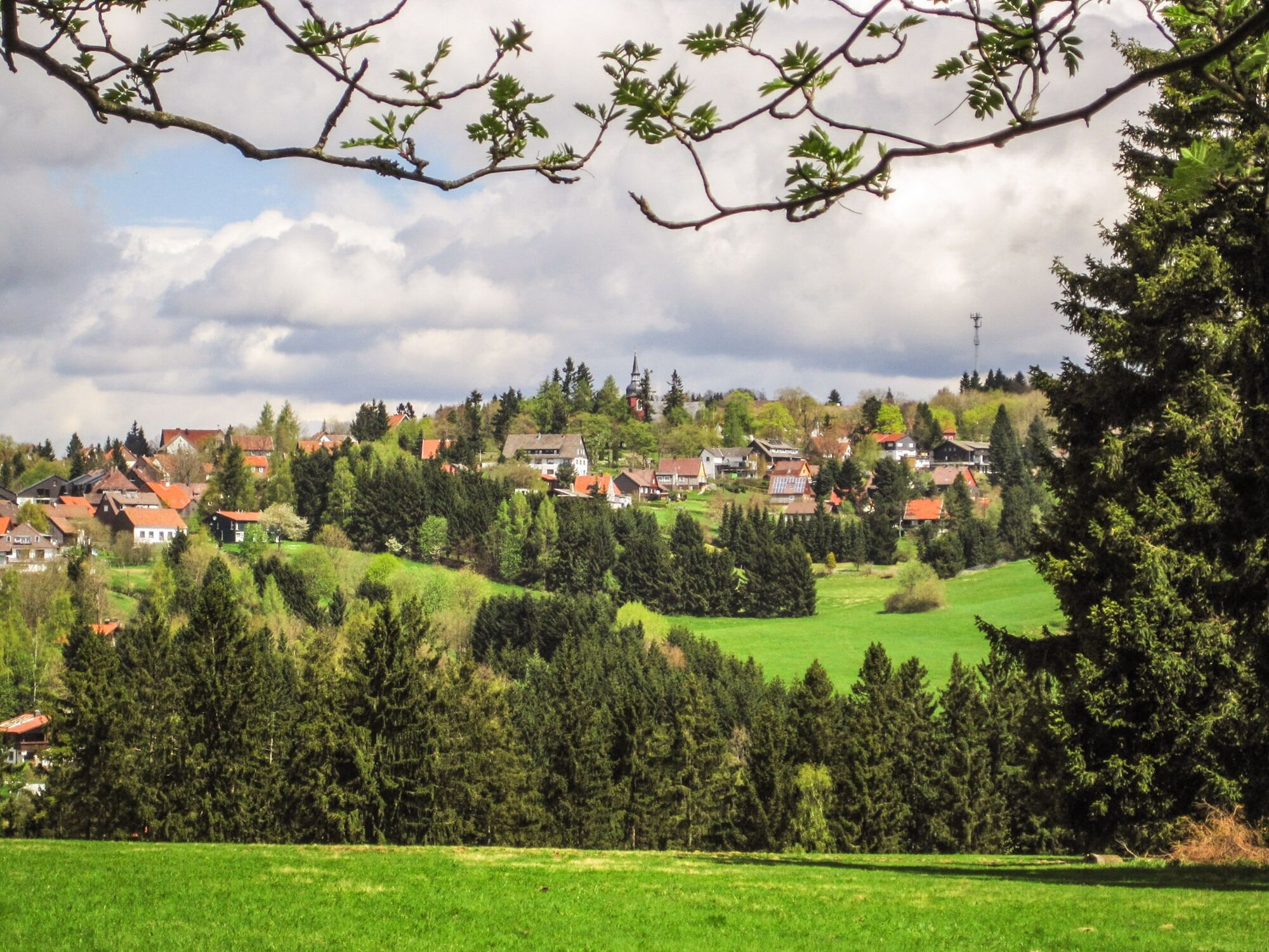
Im großen Bogen um den Ort – eine Tour für den sportlichen Wanderer.
- Difficulty
-
difficult
- Rating
-
- Route
-
Hohegeiß (623 m)Zur Himmelspforte0.1 kmMittelberg2.0 kmHohegeißberg (558 m)4.8 kmZur Himmelspforte12.5 kmHohegeiß (623 m)12.7 km
- Best season
-
JanFebMarAprMayJunJulAugSepOctNovDec
- Highest point
- 640 m
- Endpoint
-
wie Startpunkt
- Height profile
-
 © outdooractive.com
-

-
AuthorThe tour Über Berg und Tal is used by outdooractive.com provided.
GPS Downloads


General info
Refreshment stop
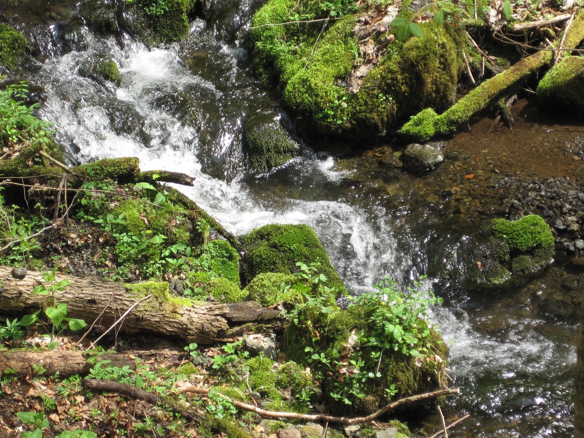
Healthy climate
Cultural/Historical
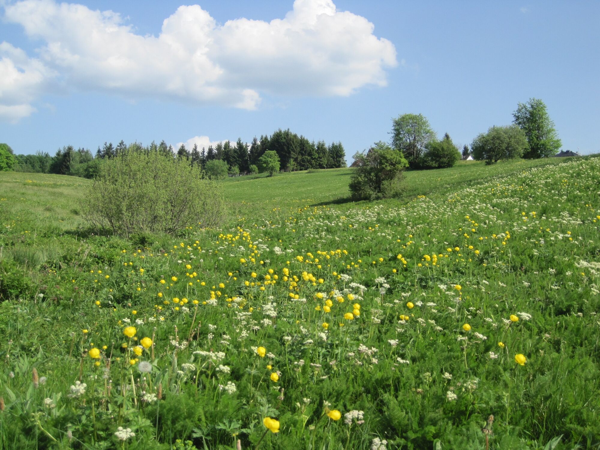
Flora
A lot of view
Other tours in the regions
-
Der Harz/ Thüringen
1090
-
Oberharz
685
-
Benneckenstein
239