© Erholungsgebiet Barßel - Saterland e.V.

© Gemeinde Saterland - unbekannt

- Difficulty
-
easy
- Rating
-
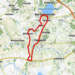
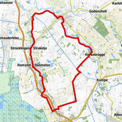
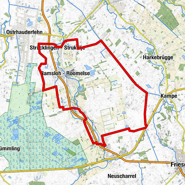
- Route
-
Bistro Cappuccino5.4 kmStrücklingen5.4 kmBääthold18.5 kmMeteora18.8 kmScharrel19.0 kmEvangelisch-Freikirchliche Gemeinde Baptisten24.7 kmSt. Petrus Canisius24.7 kmSedelsberg24.7 kmTrinitatis-Kirche25.2 kmSchützenhof Sedelsberg25.3 kmSchwaneburgermoor29.7 kmSpielplatz "Pappelweg"32.8 kmKamperfehn33.1 kmReekenfeld35.4 kmElisabethfehn38.5 km
- Best season
-
JanFebMarAprMayJunJulAugSepOctNovDec
- Highest point
- 7 m
- Endpoint
-
Elisabethfehn
- Height profile
-
 © outdooractive.com

- Author
-
The tour Naturroute Saterland is used by outdooractive.com provided.
GPS Downloads


General info
Refreshment stop
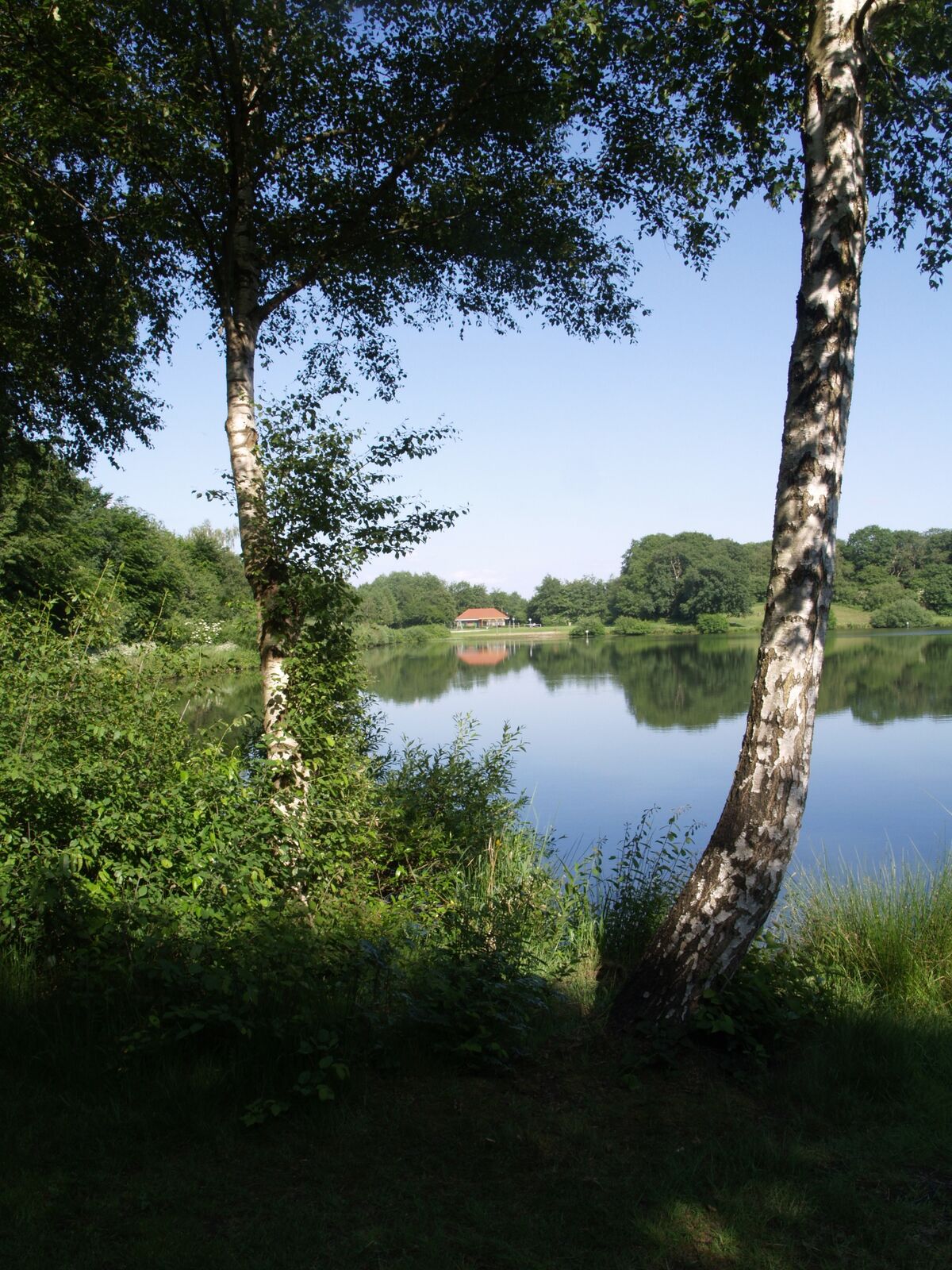
Flora
Fauna
Other tours in the regions