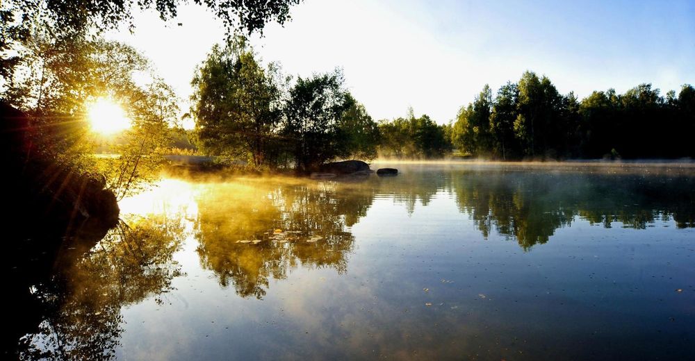
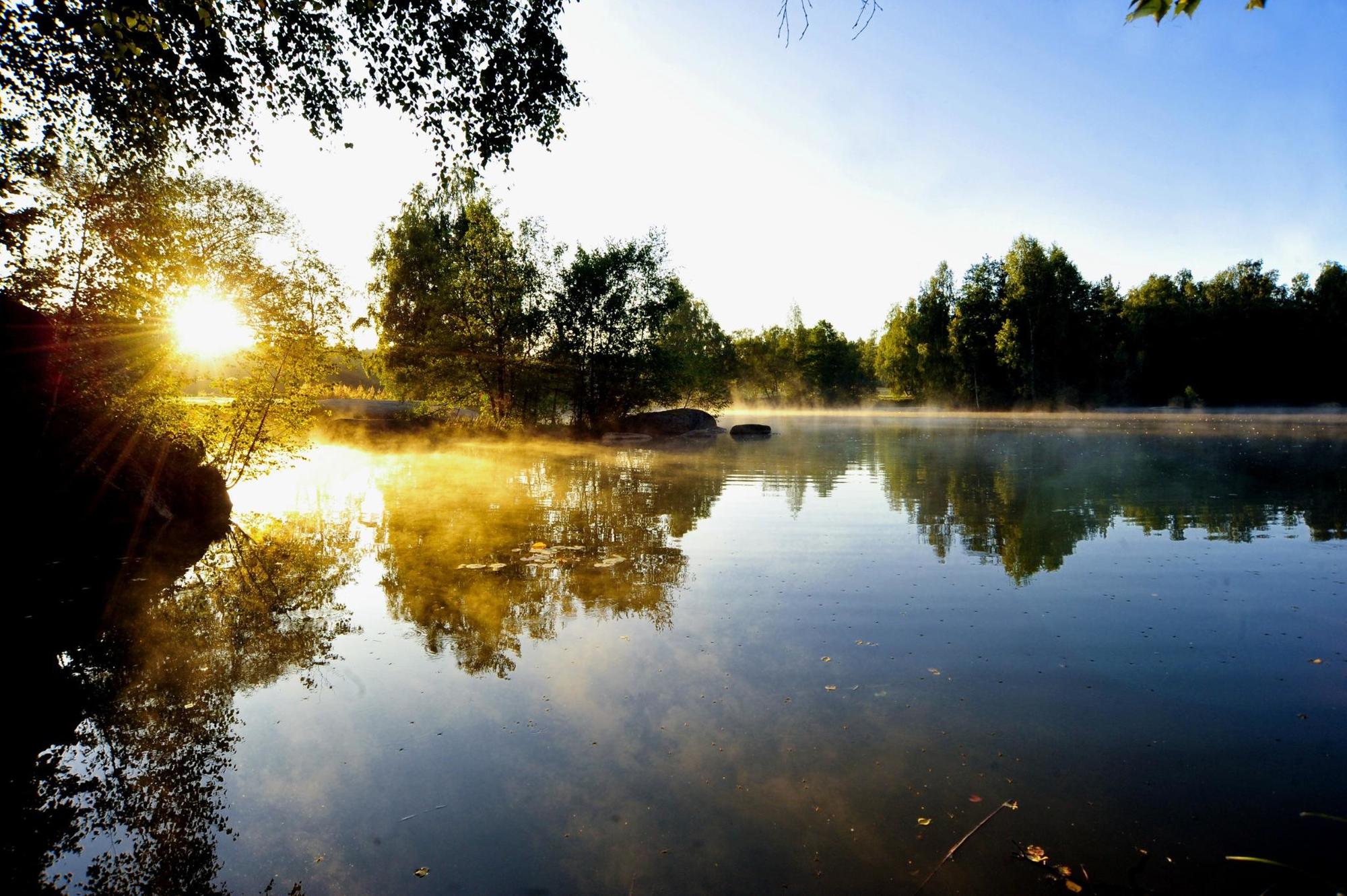
© © POV - Destination Waldviertel


- Brief description
-
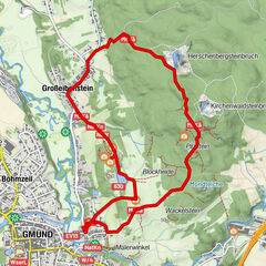
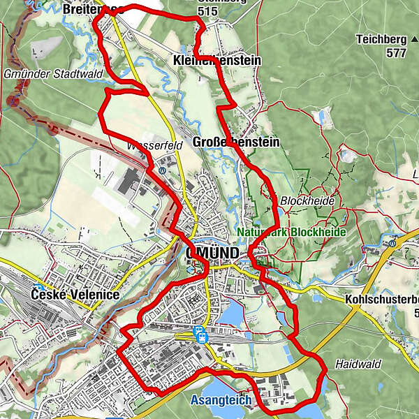
Rundwanderweg B in Gmünd
- Difficulty
-
easy
- Rating
-
- Route
-
Gmünd0.3 kmBreitensee4.8 kmhl. Maria5.1 kmKleineibenstein7.0 kmEibenstein7.6 kmGroßeibenstein8.4 kmGasthaus Gruböck8.4 kmLatschenhütte8.6 kmJausenstation Schutzhaus9.2 kmHubertuskapelle9.3 kmGrillenstein10.1 kmGmünd10.1 kmMalerwinkel10.4 kmNick15.5 kmGmünd17.3 km
- Highest point
- 512 m
- Endpoint
-
Gmünd
- Height profile
-

- Author
-
The tour NatURknallweg is used by outdooractive.com provided.
GPS Downloads


General info
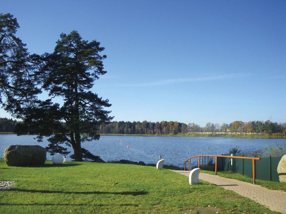
Refreshment stop
Flora
Other tours in the regions
-
Waldviertel
1776
-
Oberes Waldviertel
614
-
Gmünd im Waldviertel
130