© hel

© hel

© hel

© hel

© hel

© hel

© hel

© hel

© hel

© hel
Tour data
17km
388
- 1,195m
940hm
940hm
06:03h
- Brief description
-
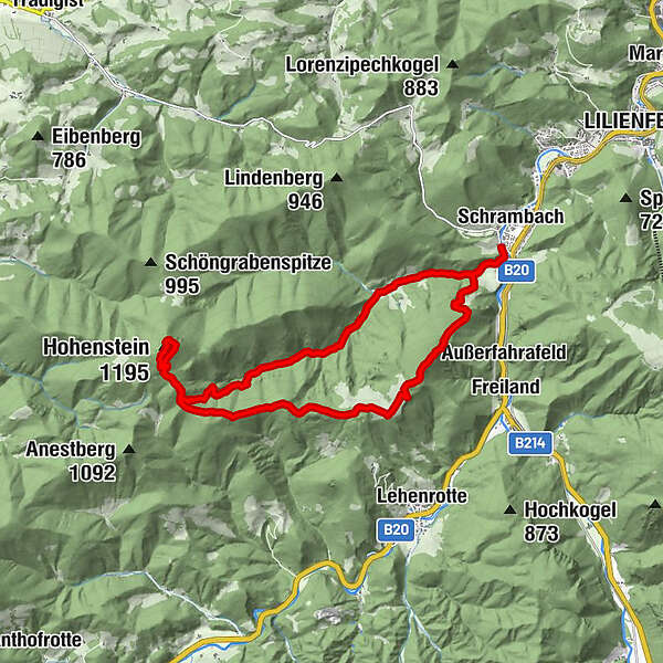
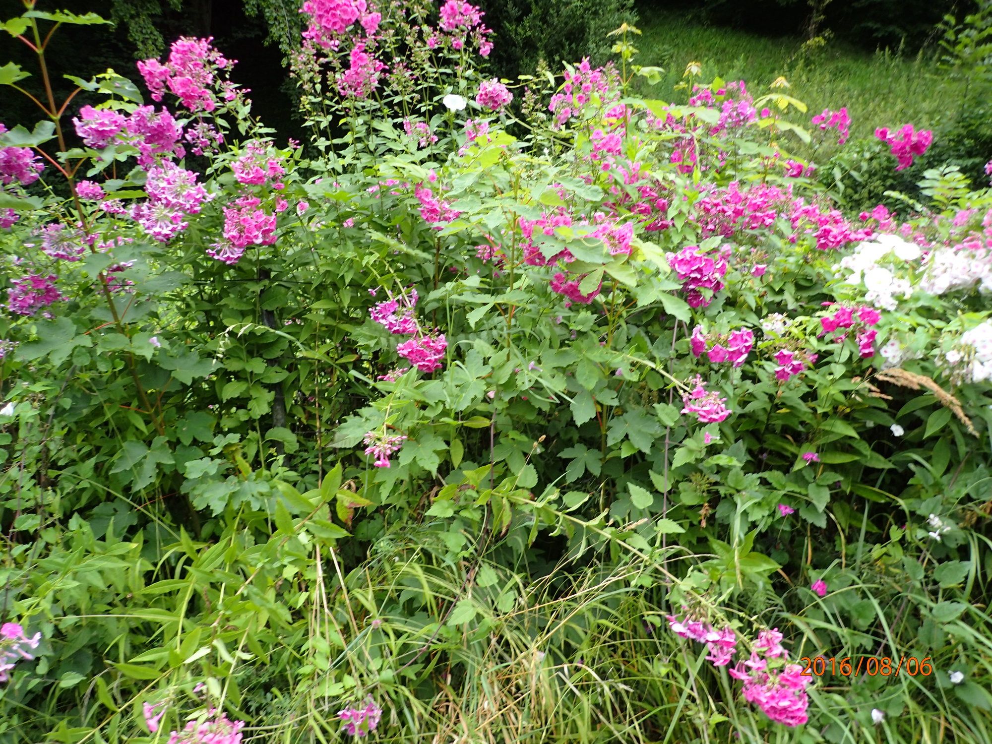
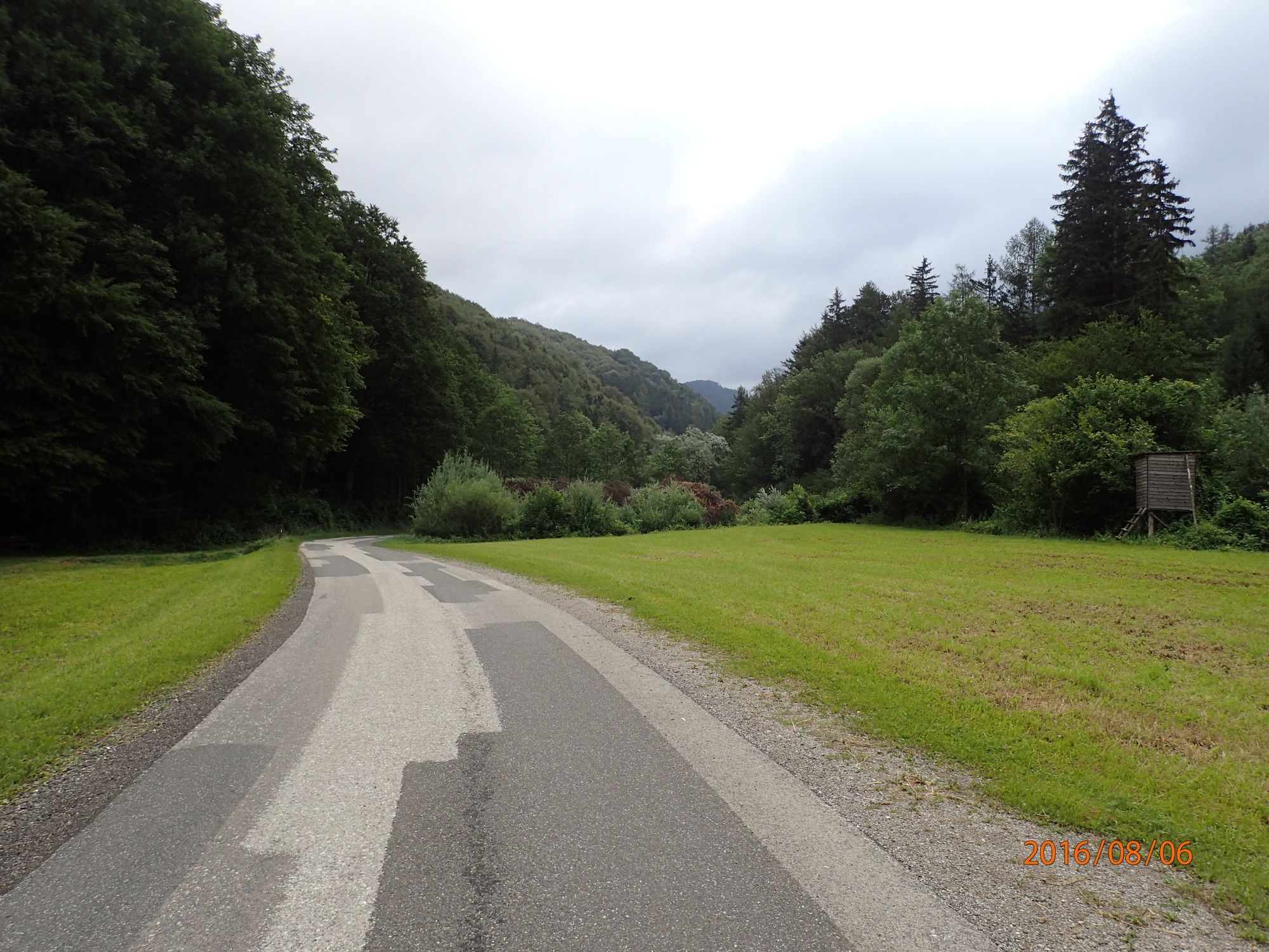
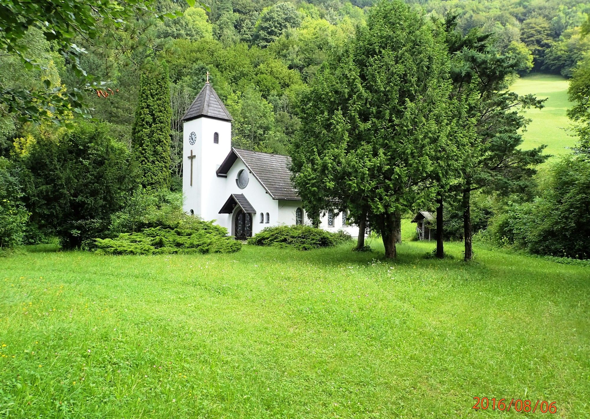
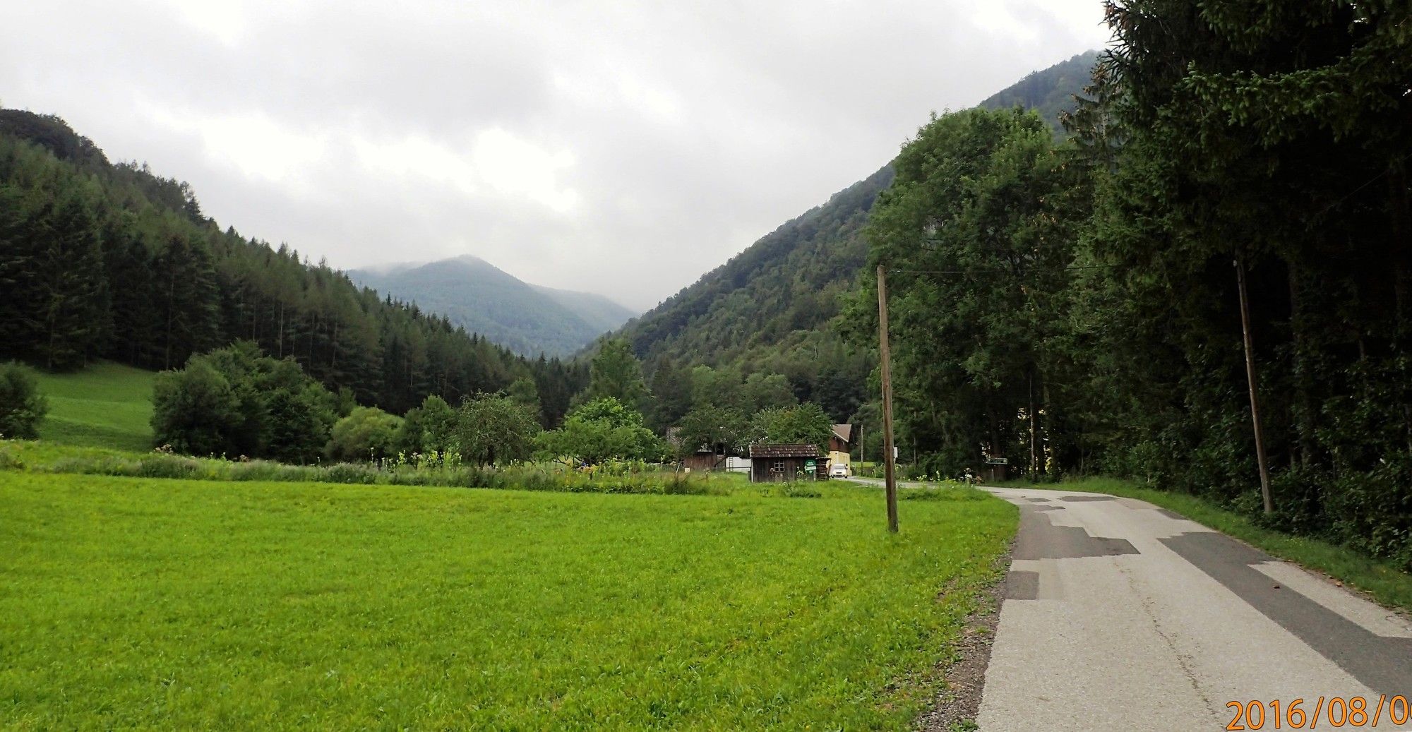
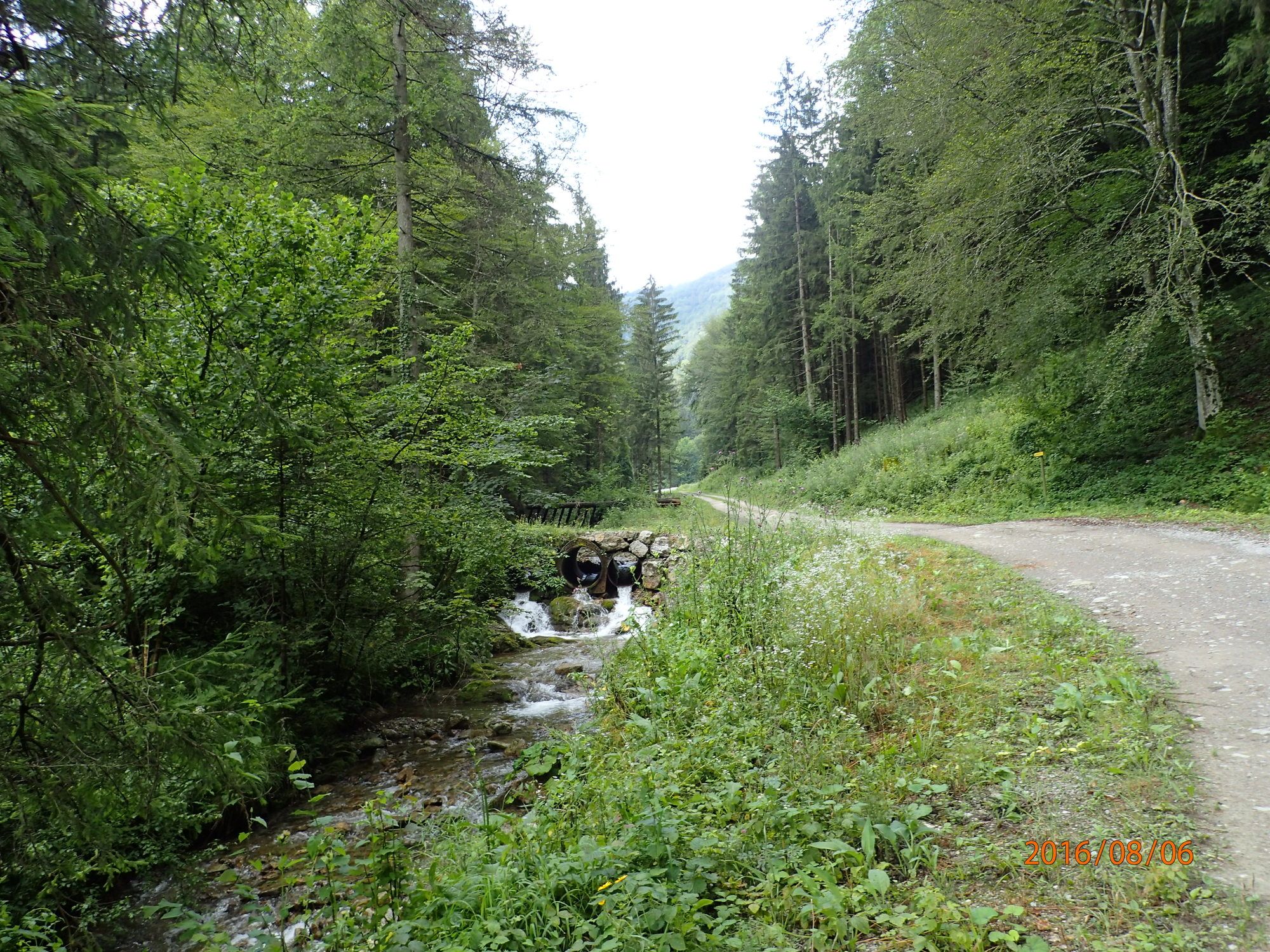
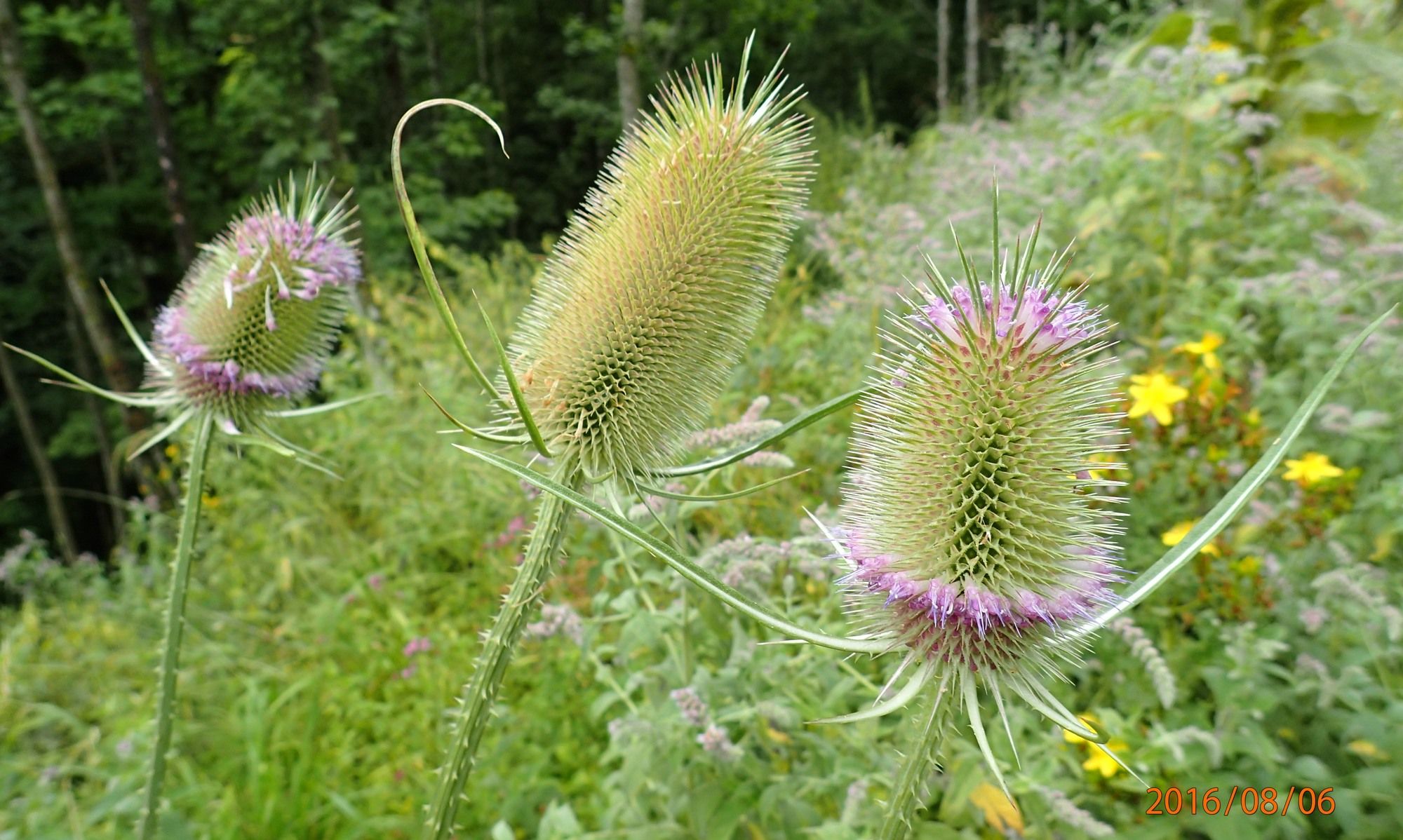
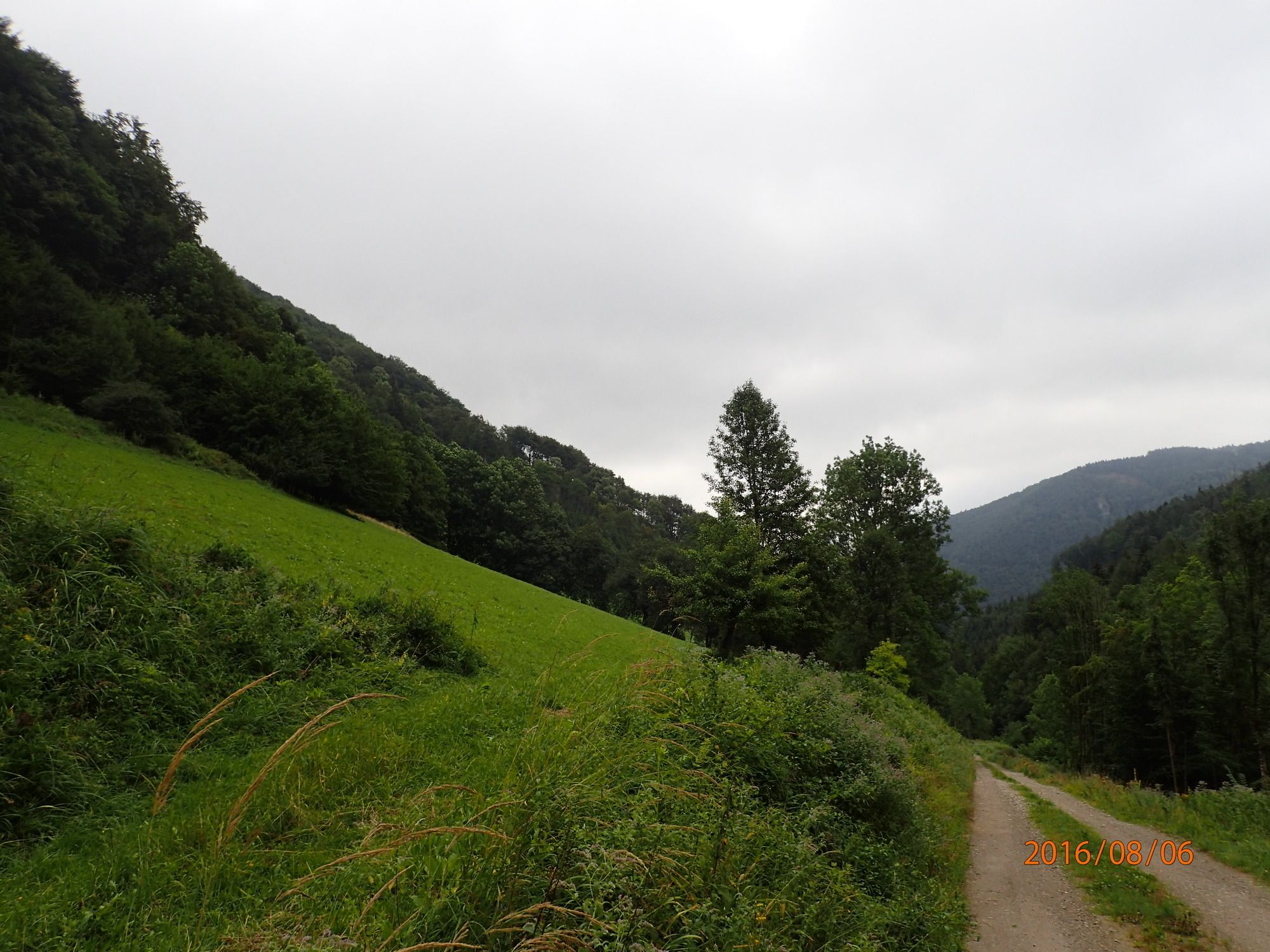
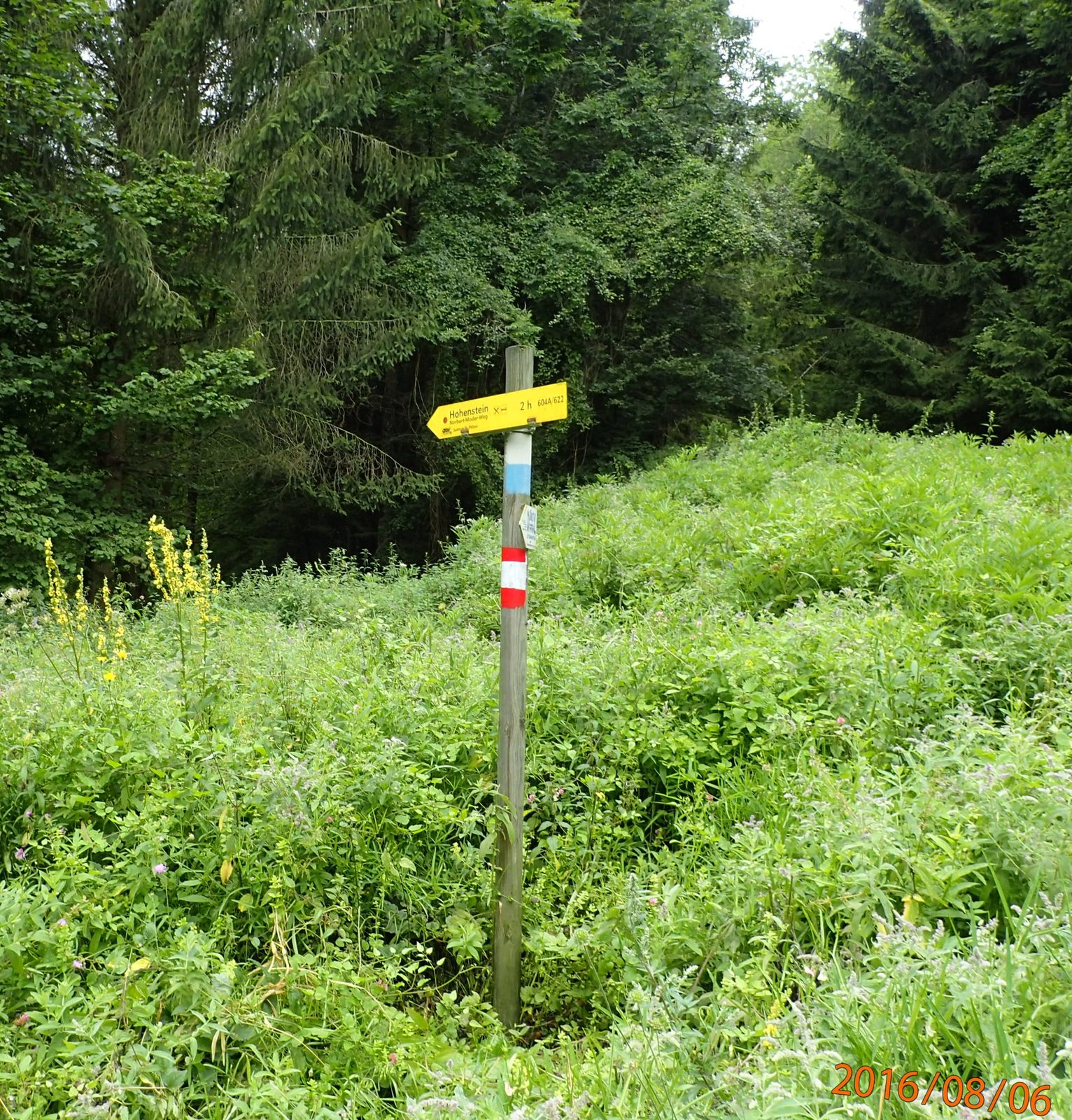
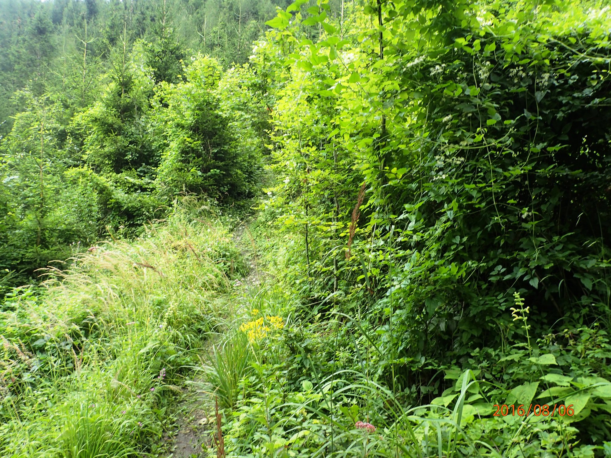
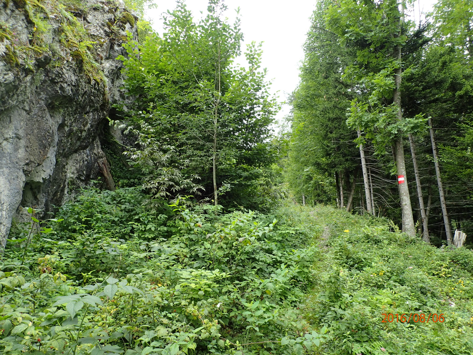
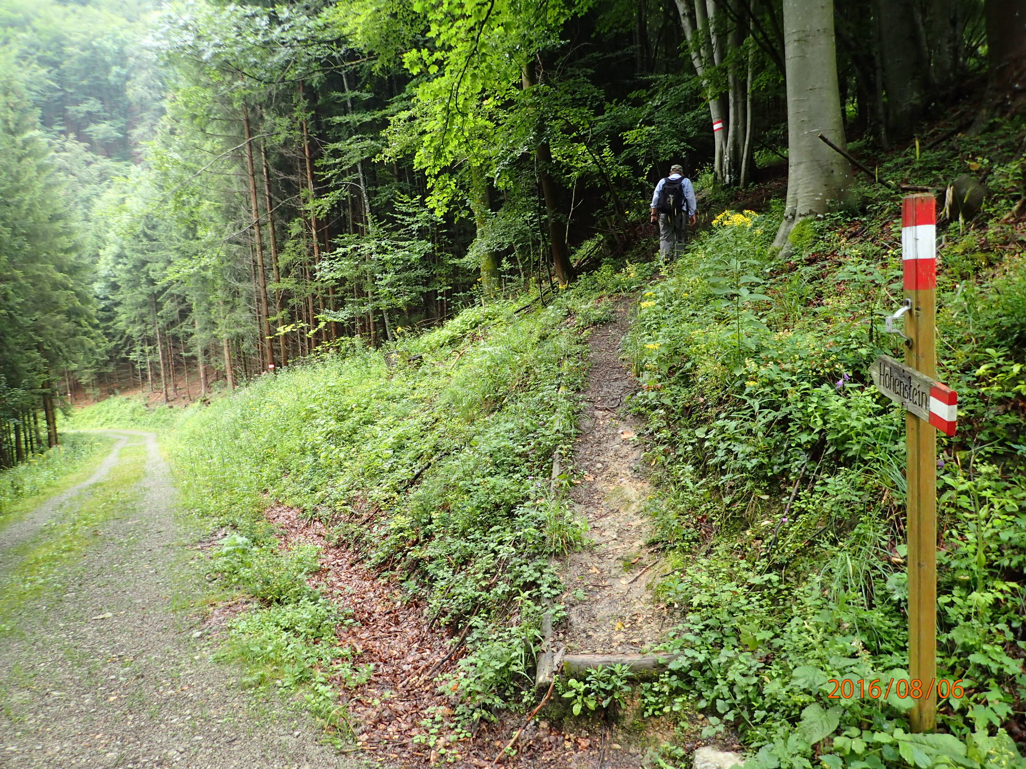
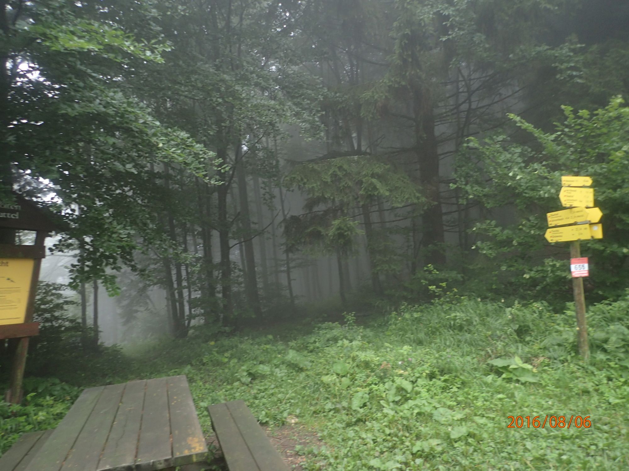
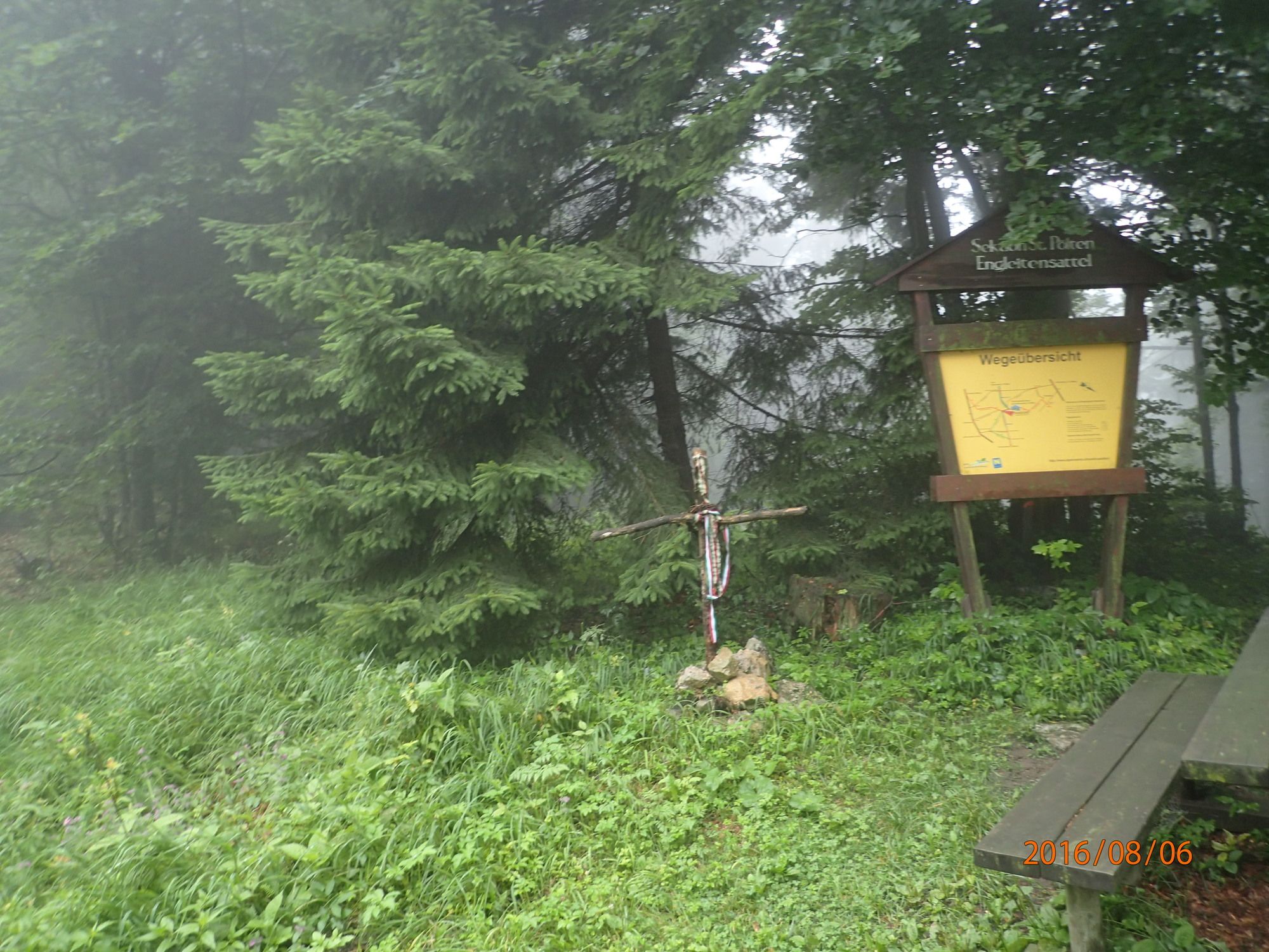
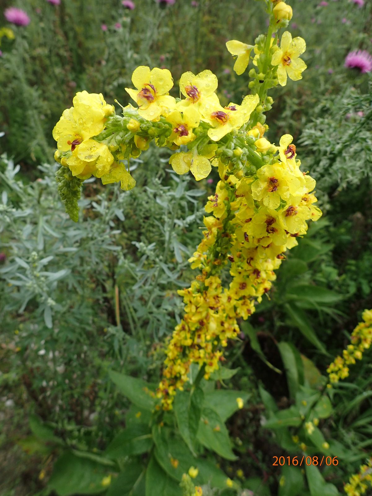
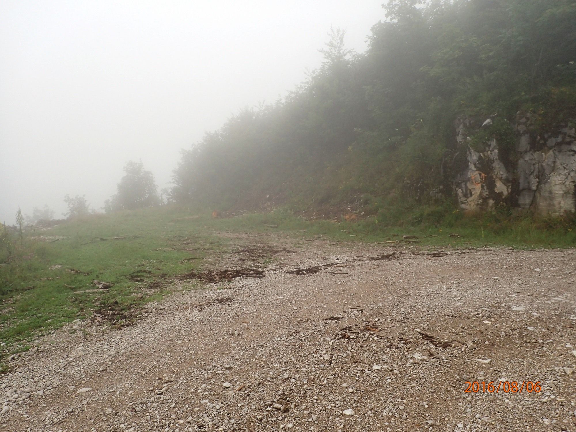
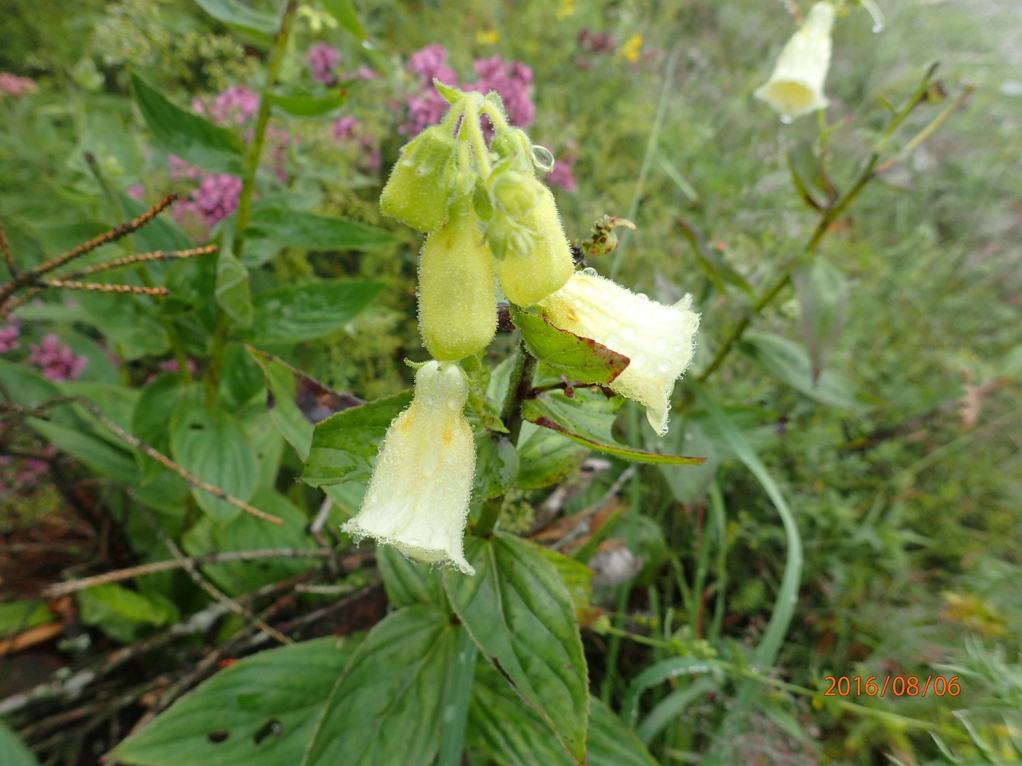
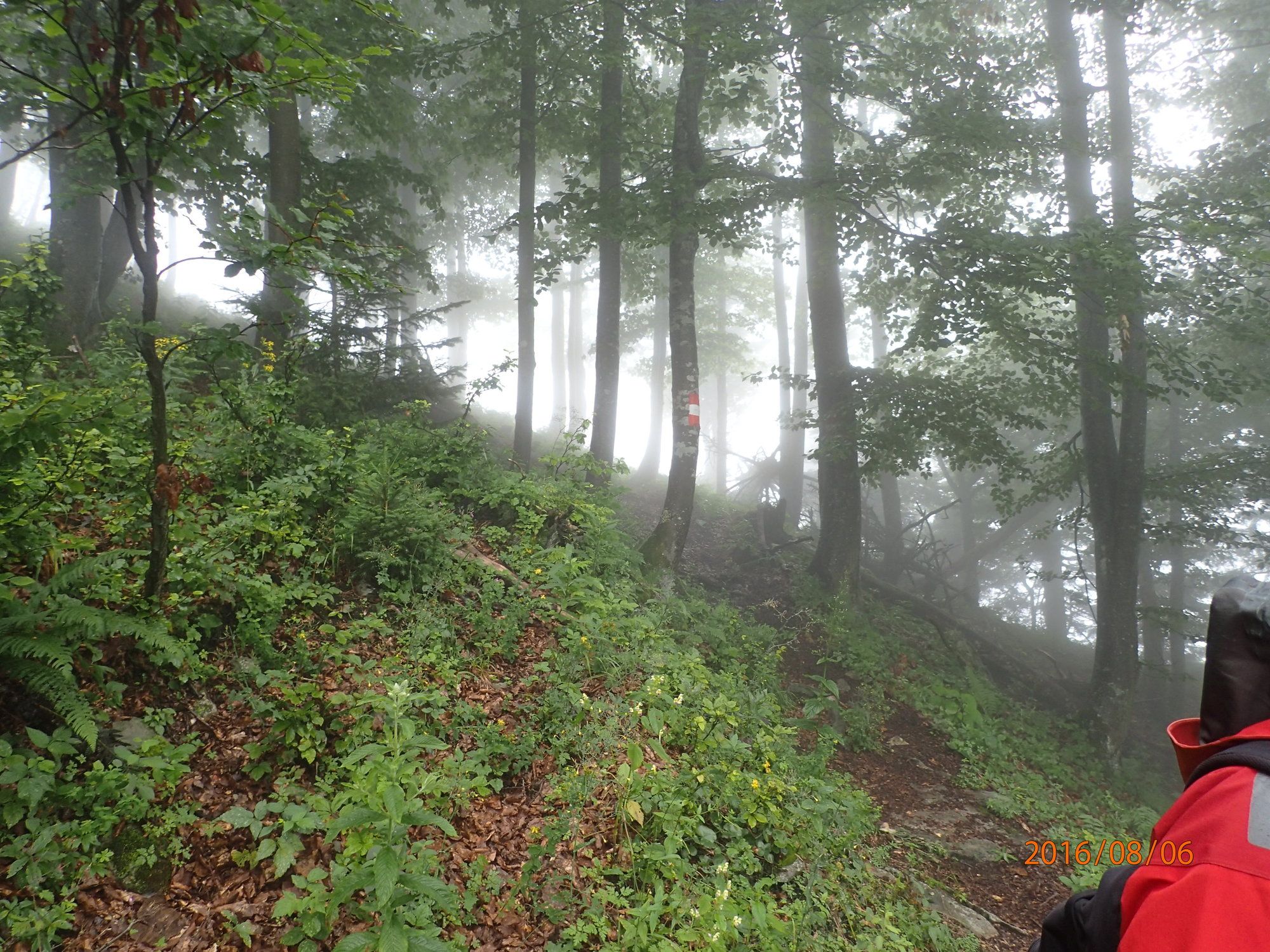
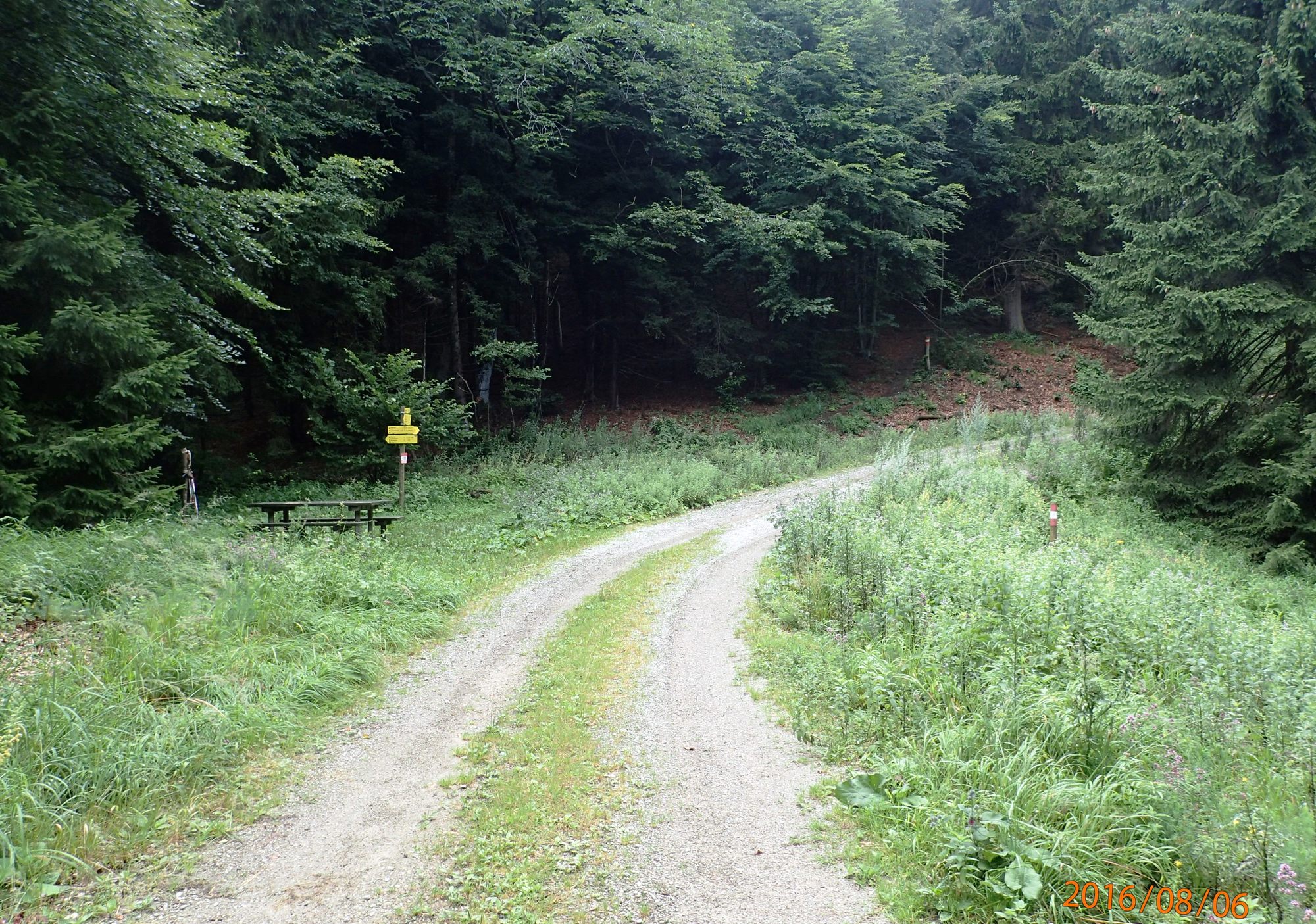
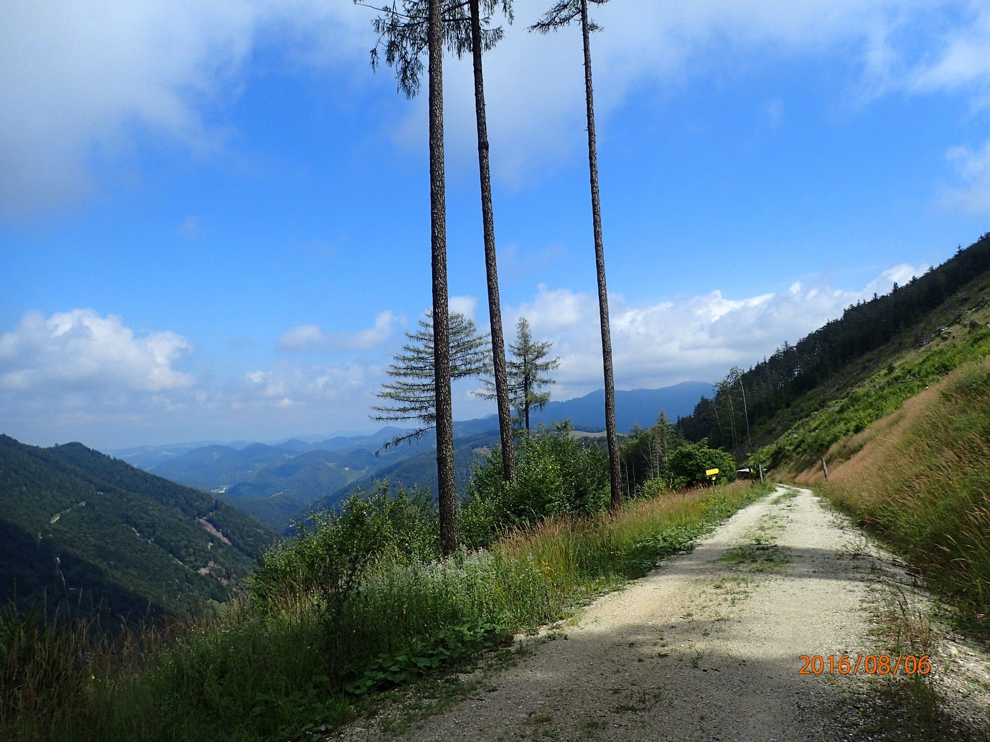
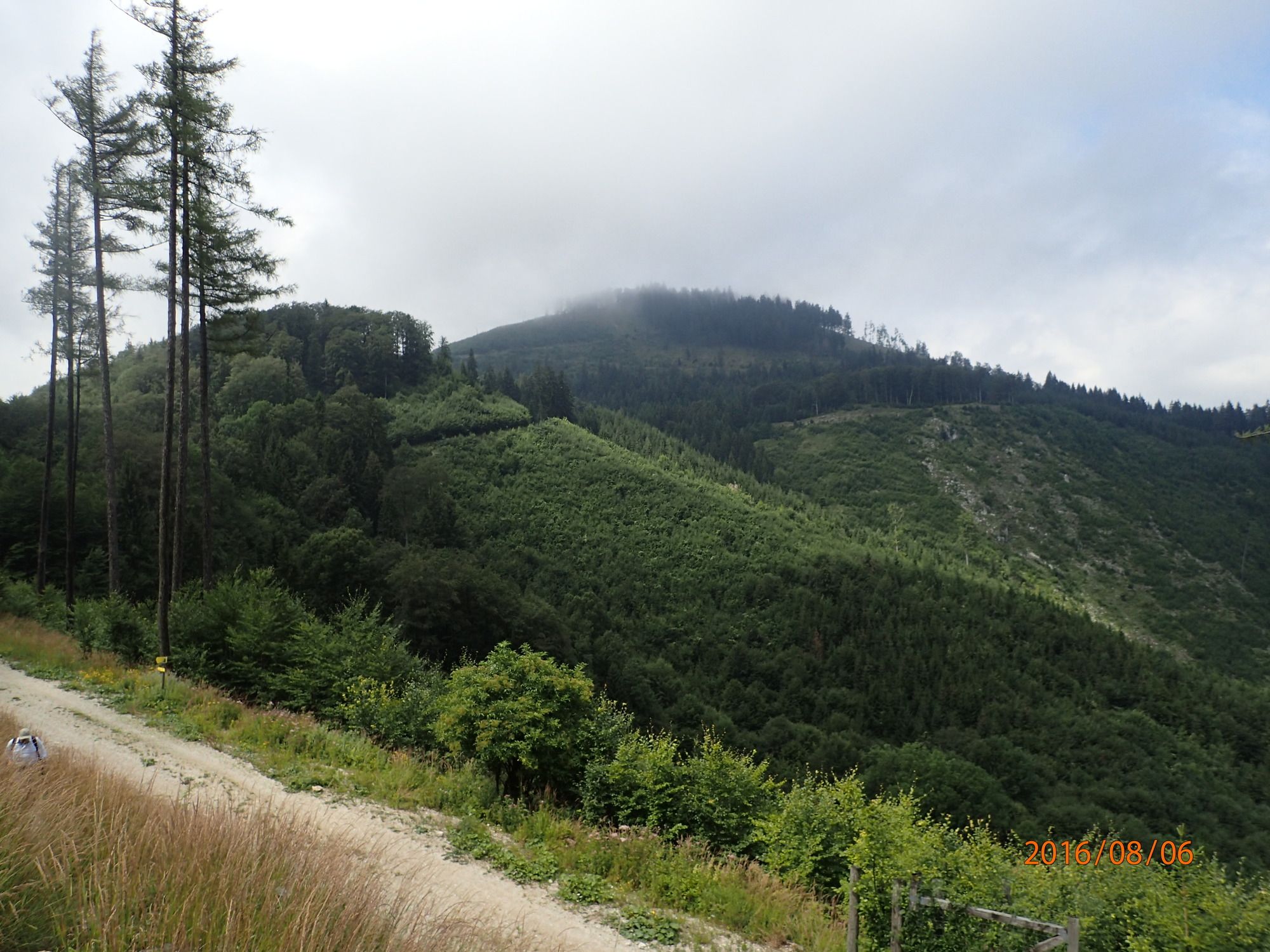
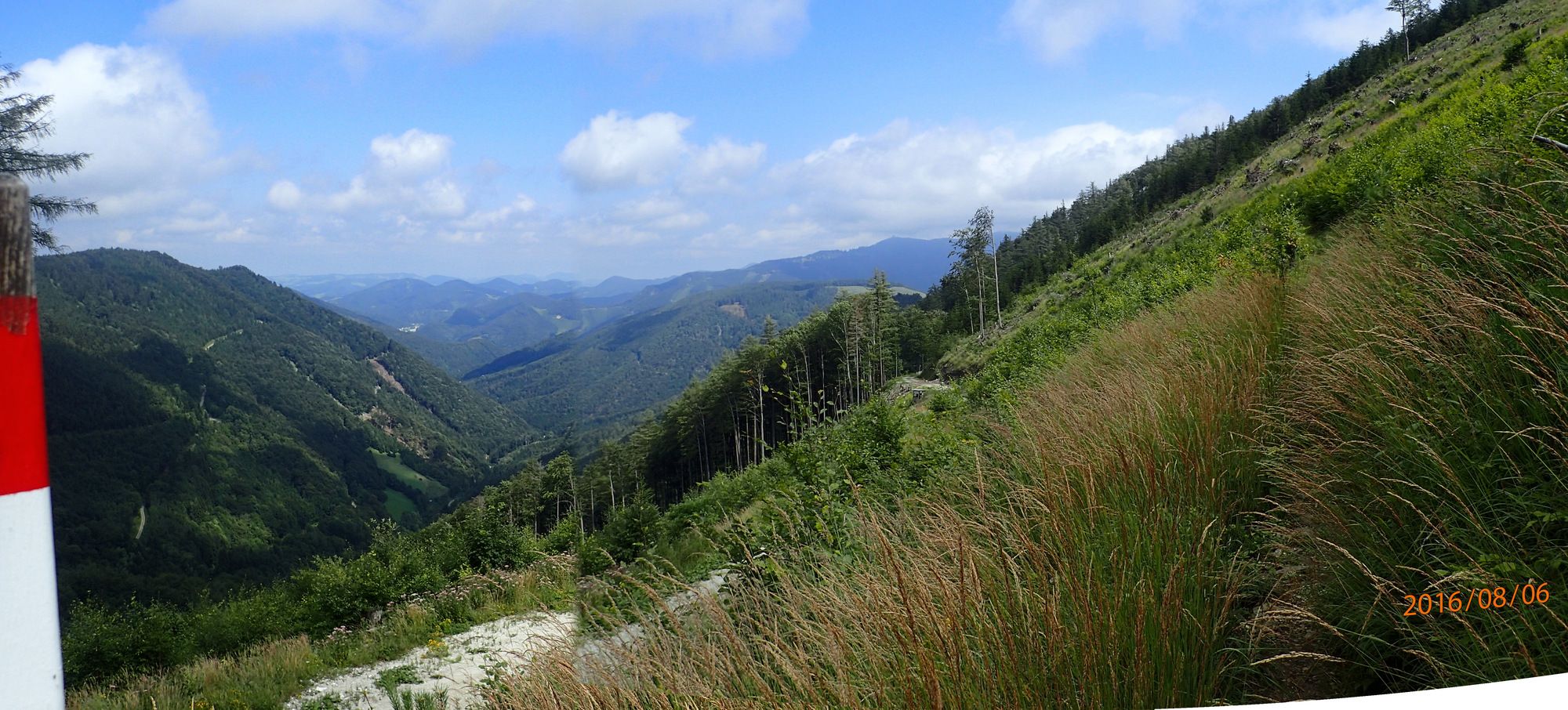
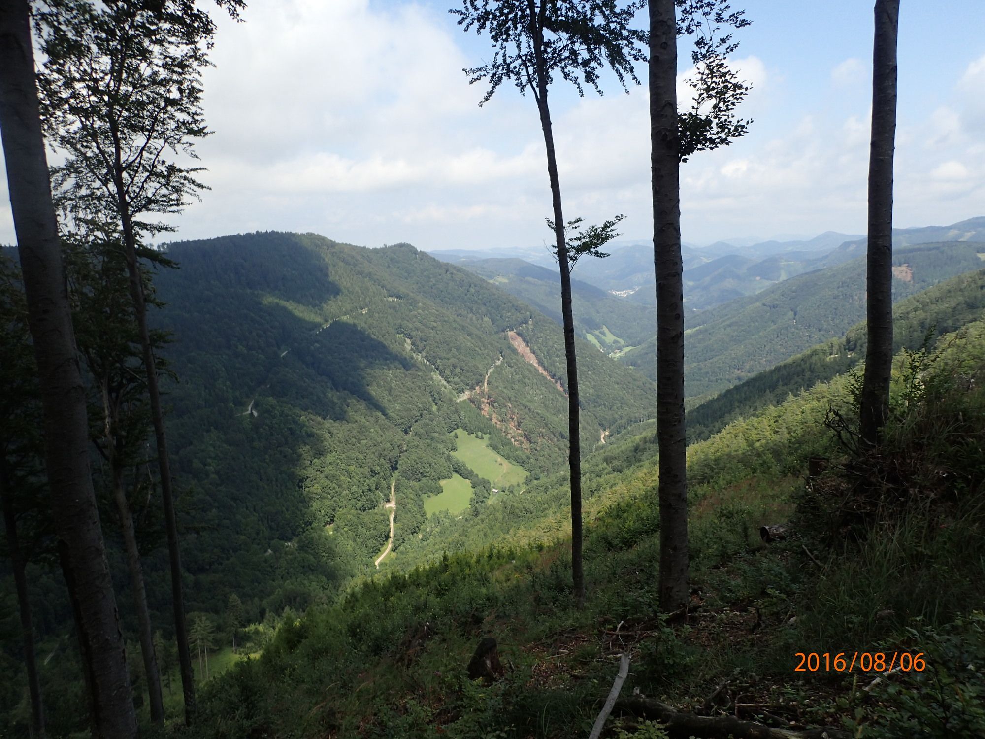
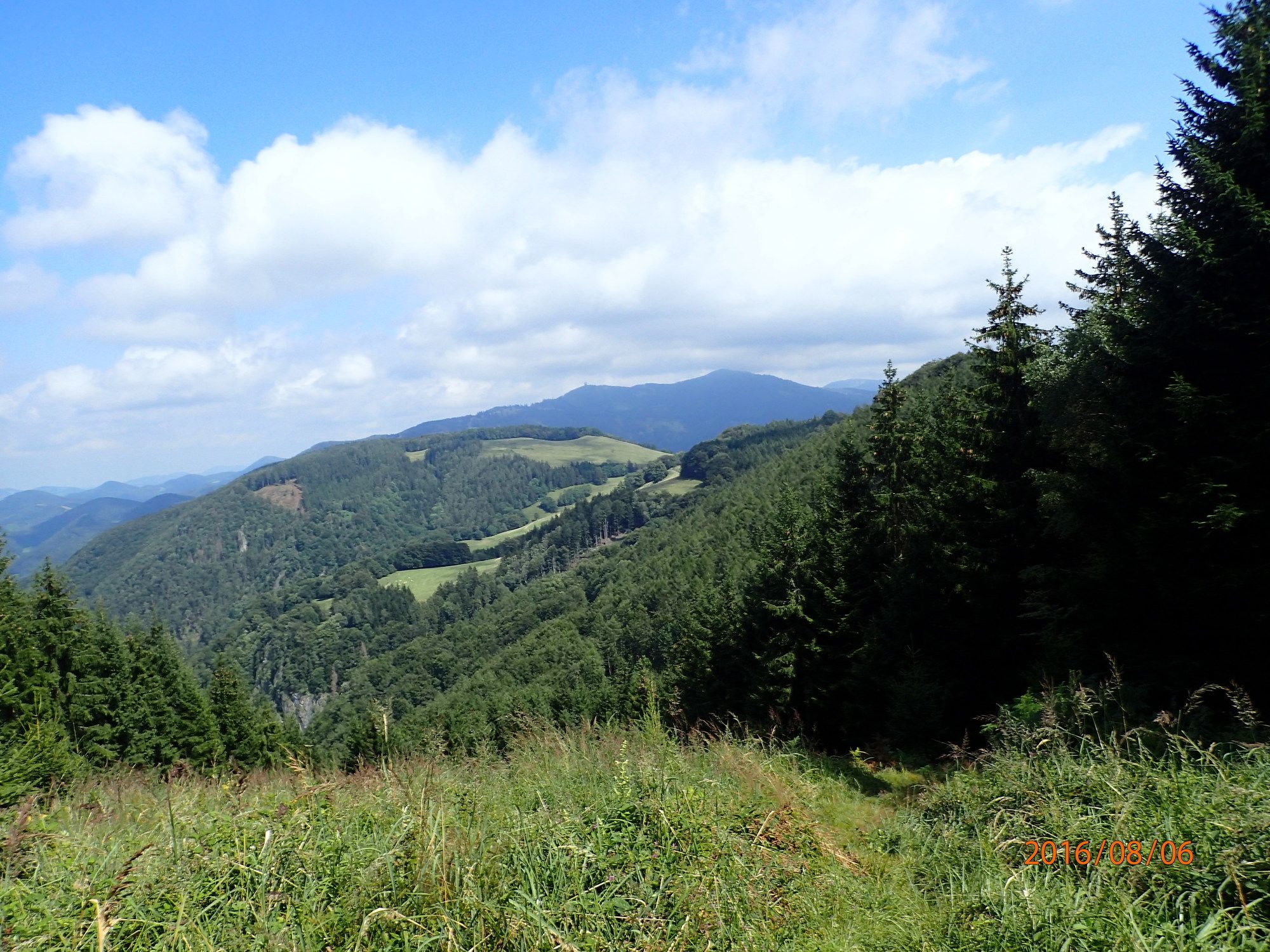
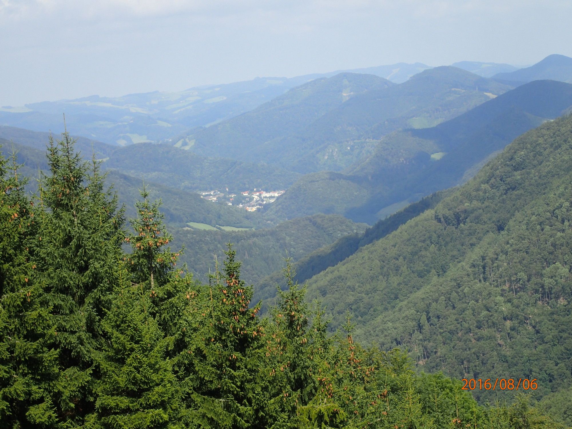
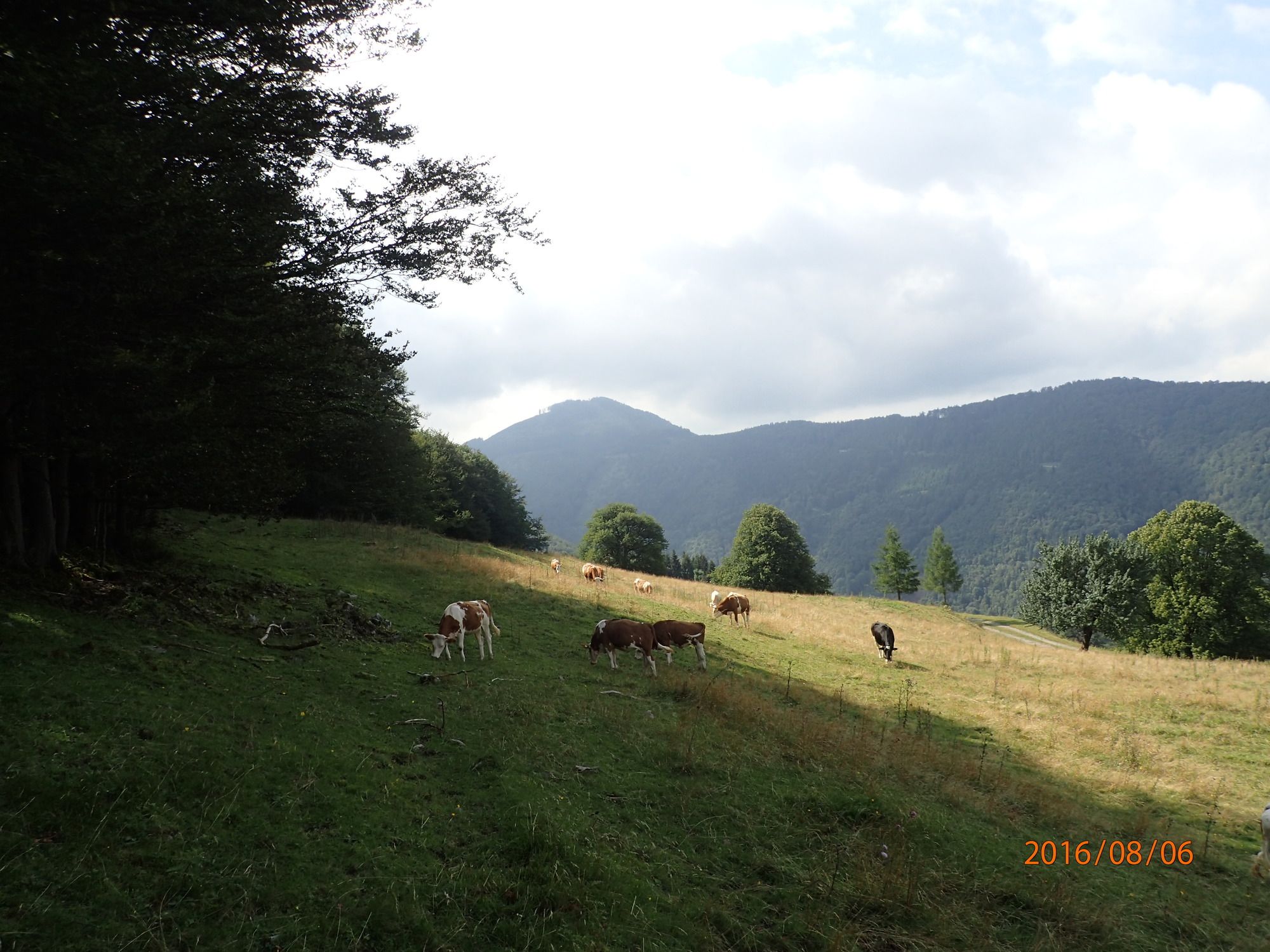
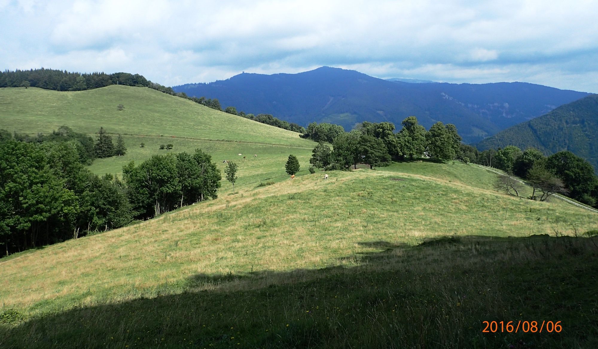
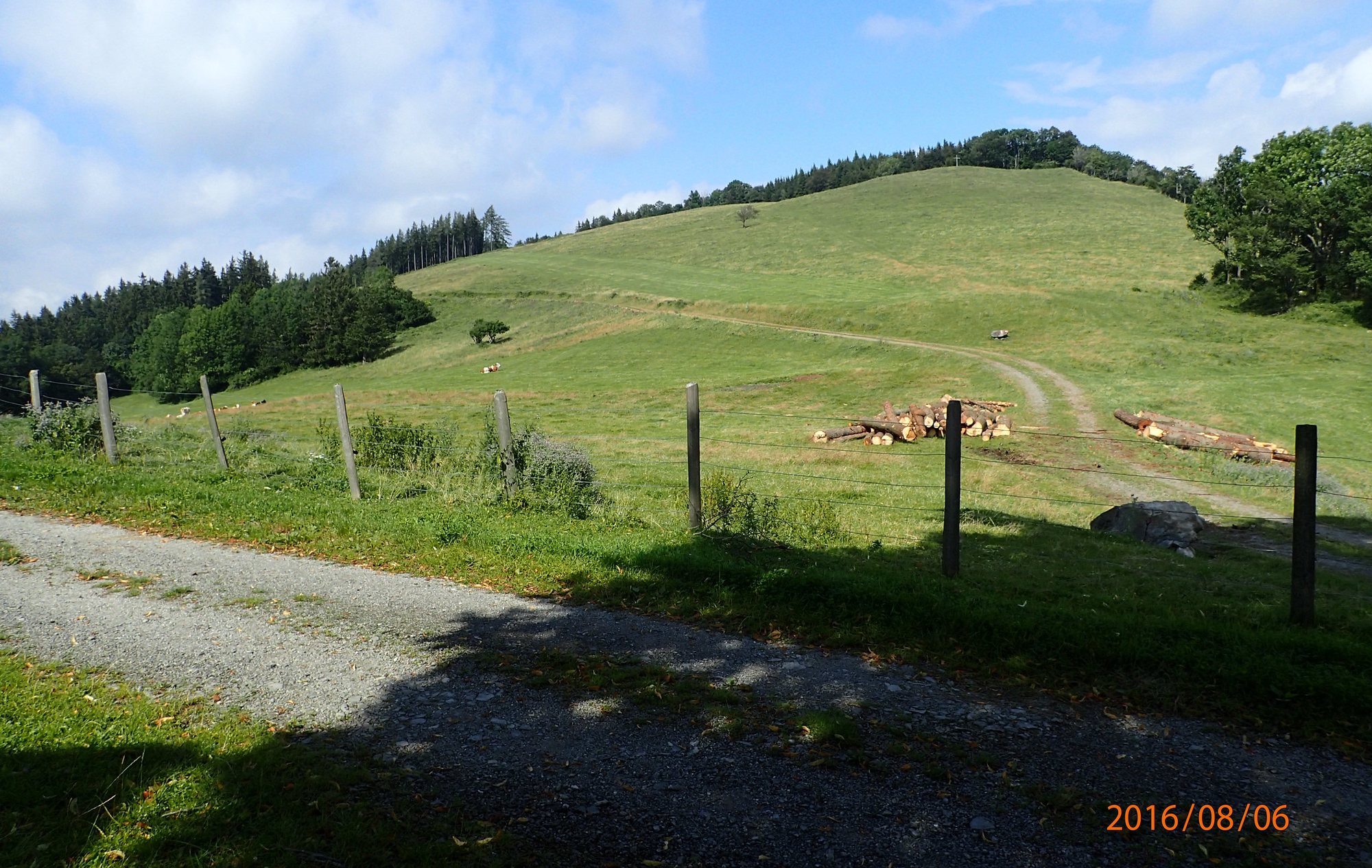
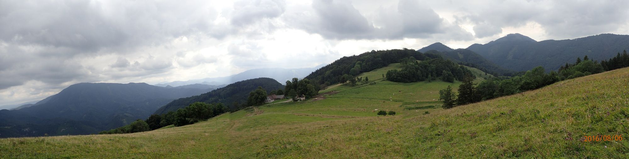
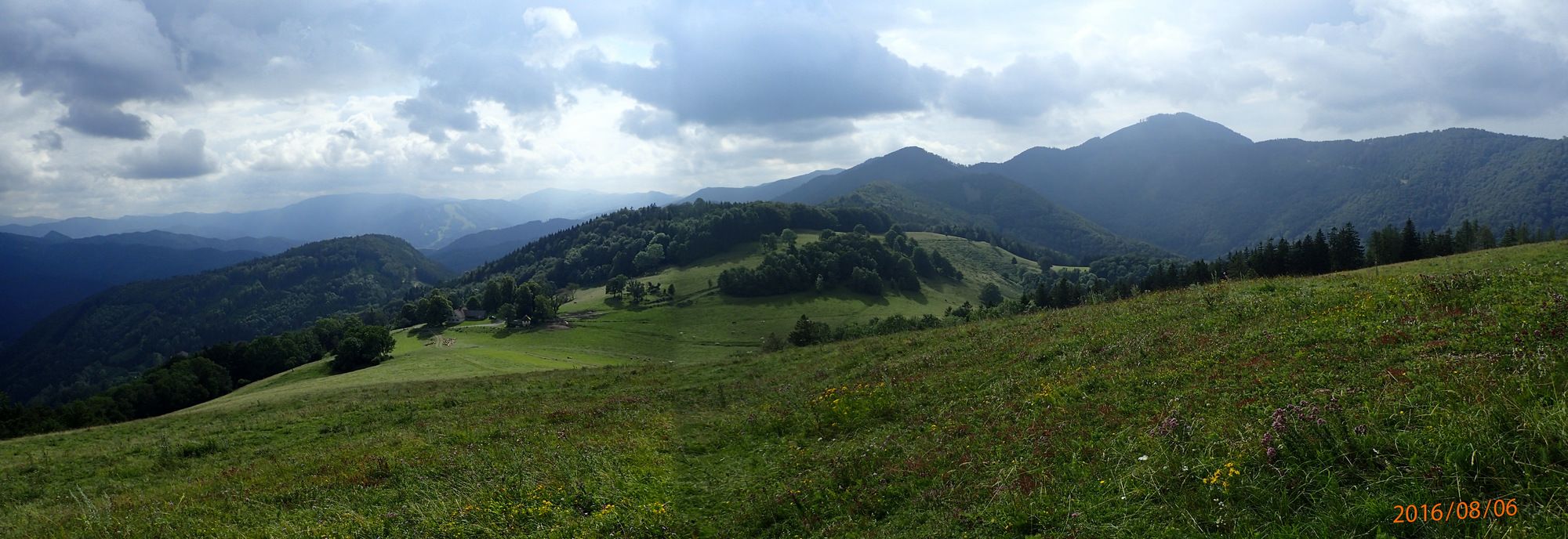
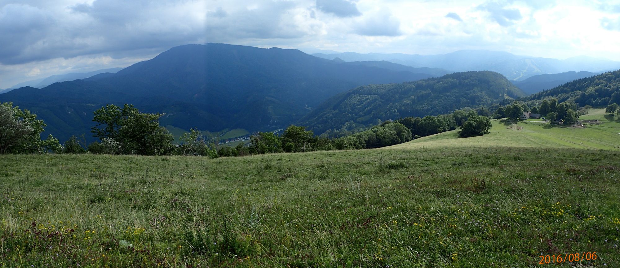
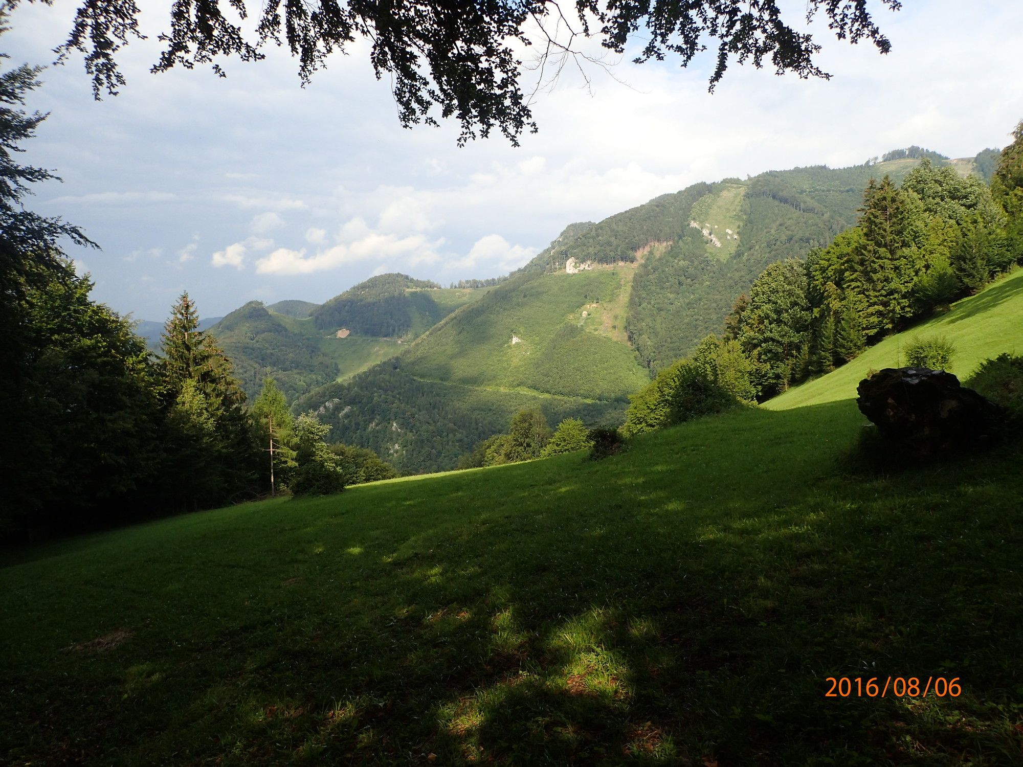
Schöne Wanderung von Schrambach über Zögersbach, Engleitengraben, -sattel, Hohenstein. Abstieg über dem Engleitensattel und Himmel zurück nach Schrammbach
- Difficulty
-
medium
- Rating
-
- Starting point
-
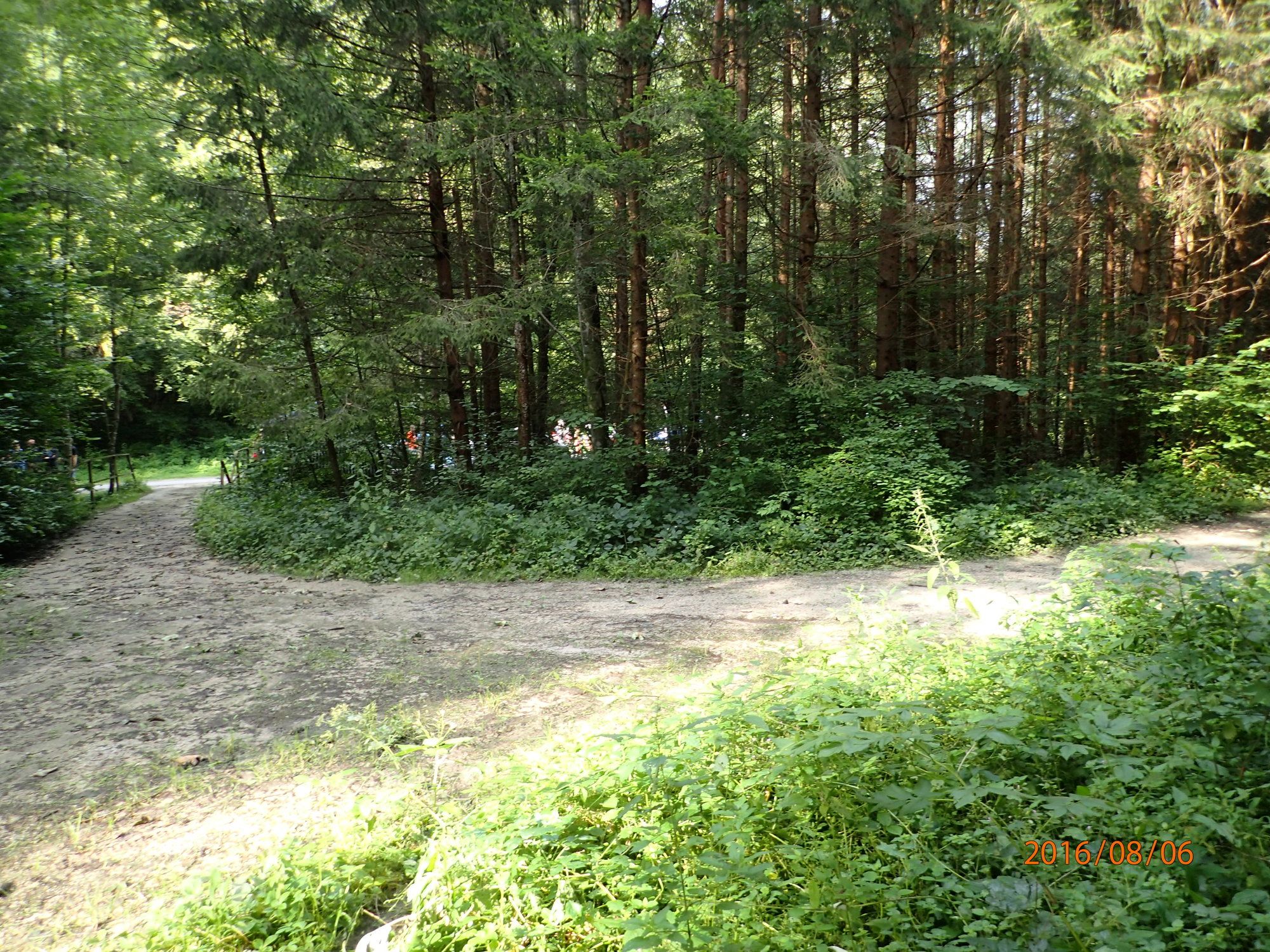
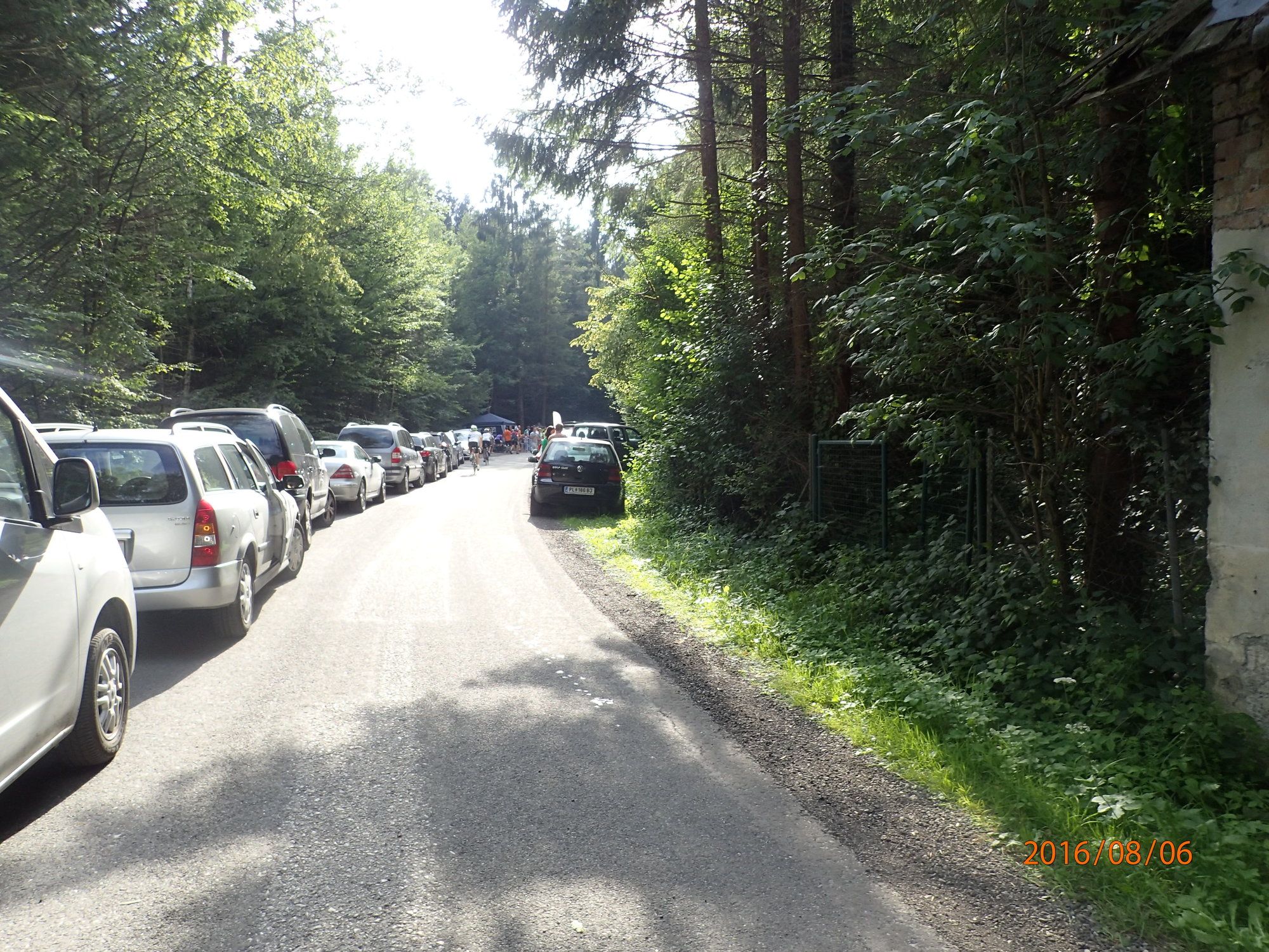
Parkplatz (siehe Pkt. vor) oder die nächste Bahn- bzw. Bushaltestelle in Schrambach
- Route
-
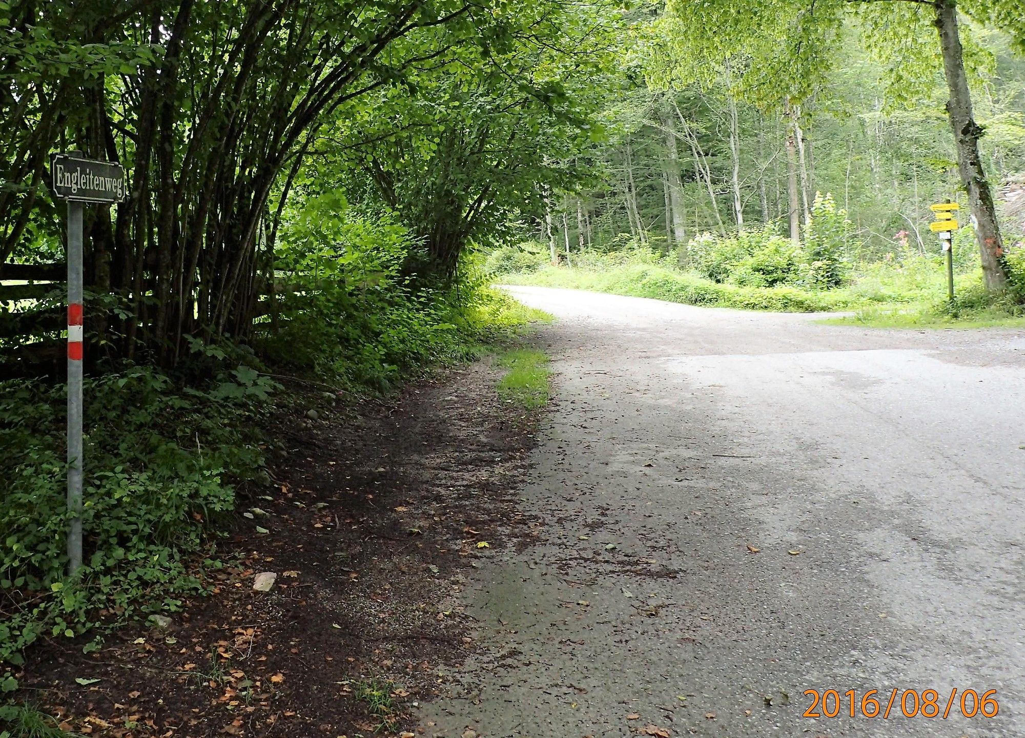
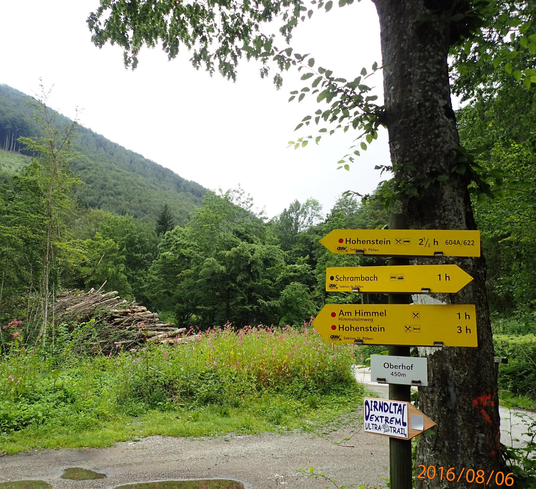
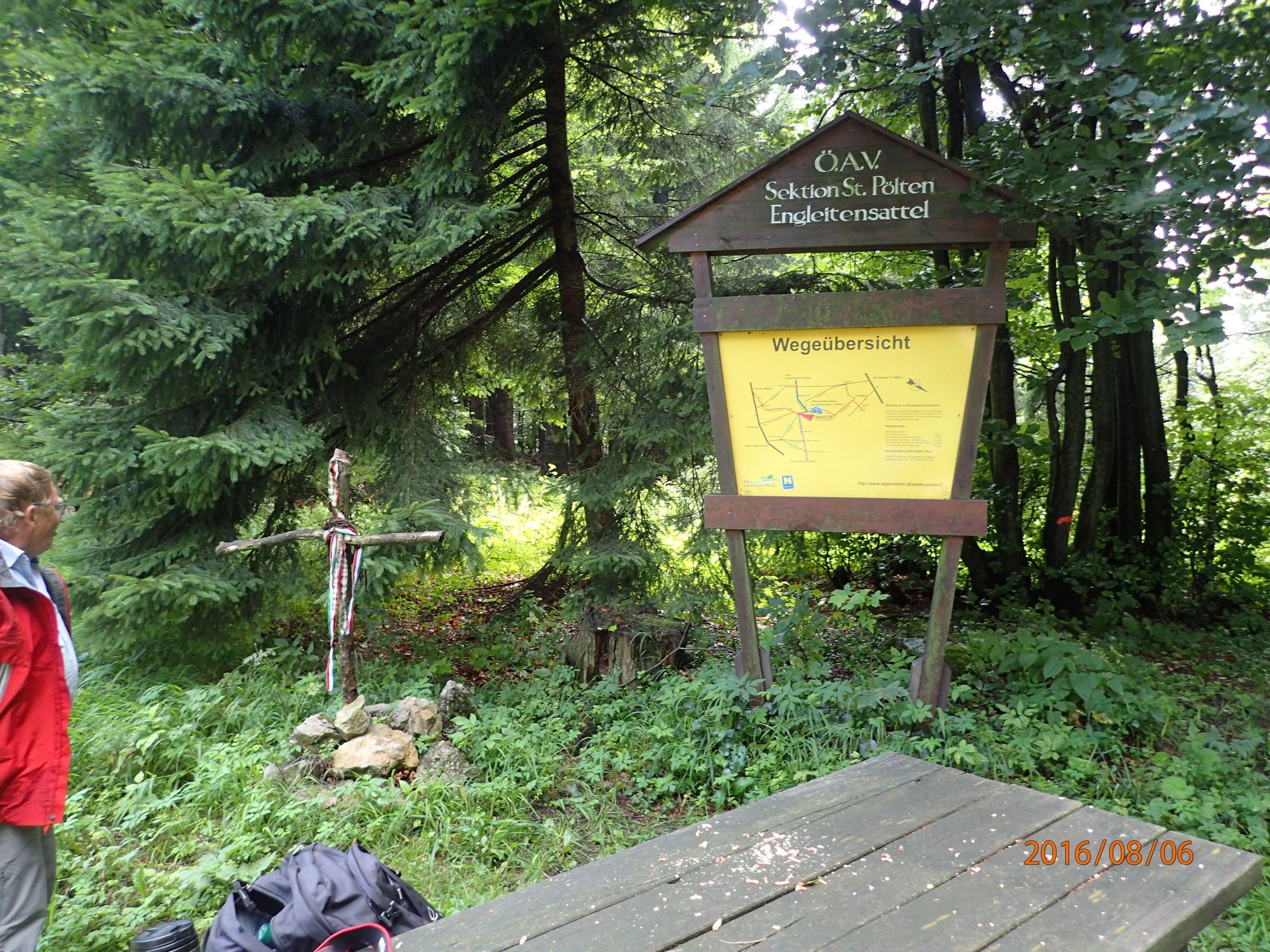
SchrambachQuelle Koglbrunn0.6 kmZögersbachlucke1.3 kmNiederhof Kirche1.7 kmZögersbach1.9 kmOberhof (450 m)2.3 kmEngleitenhöhle5.2 kmEngleiten-Doppelhöhle5.2 kmHohenstein8.2 kmOtto-Kandler-Haus8.2 kmEngleitensattel (966 m)9.4 kmRote Mauer (910 m)11.3 kmQuelle Koglbrunn16.3 kmSchrambach16.9 km
- Best season
-
JanFebMarAprMayJunJulAugSepOctNovDec
- Highest point
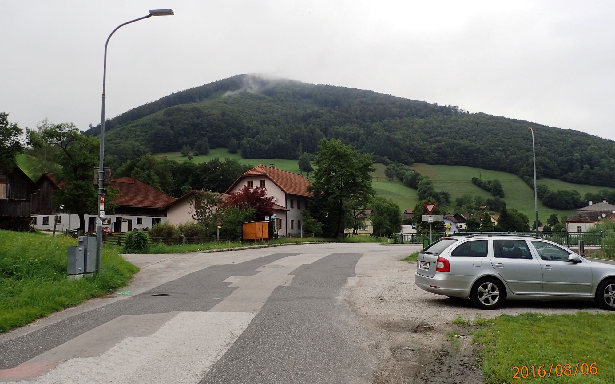
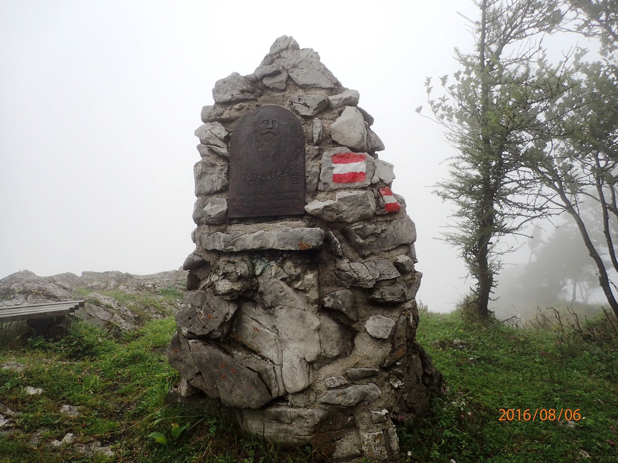
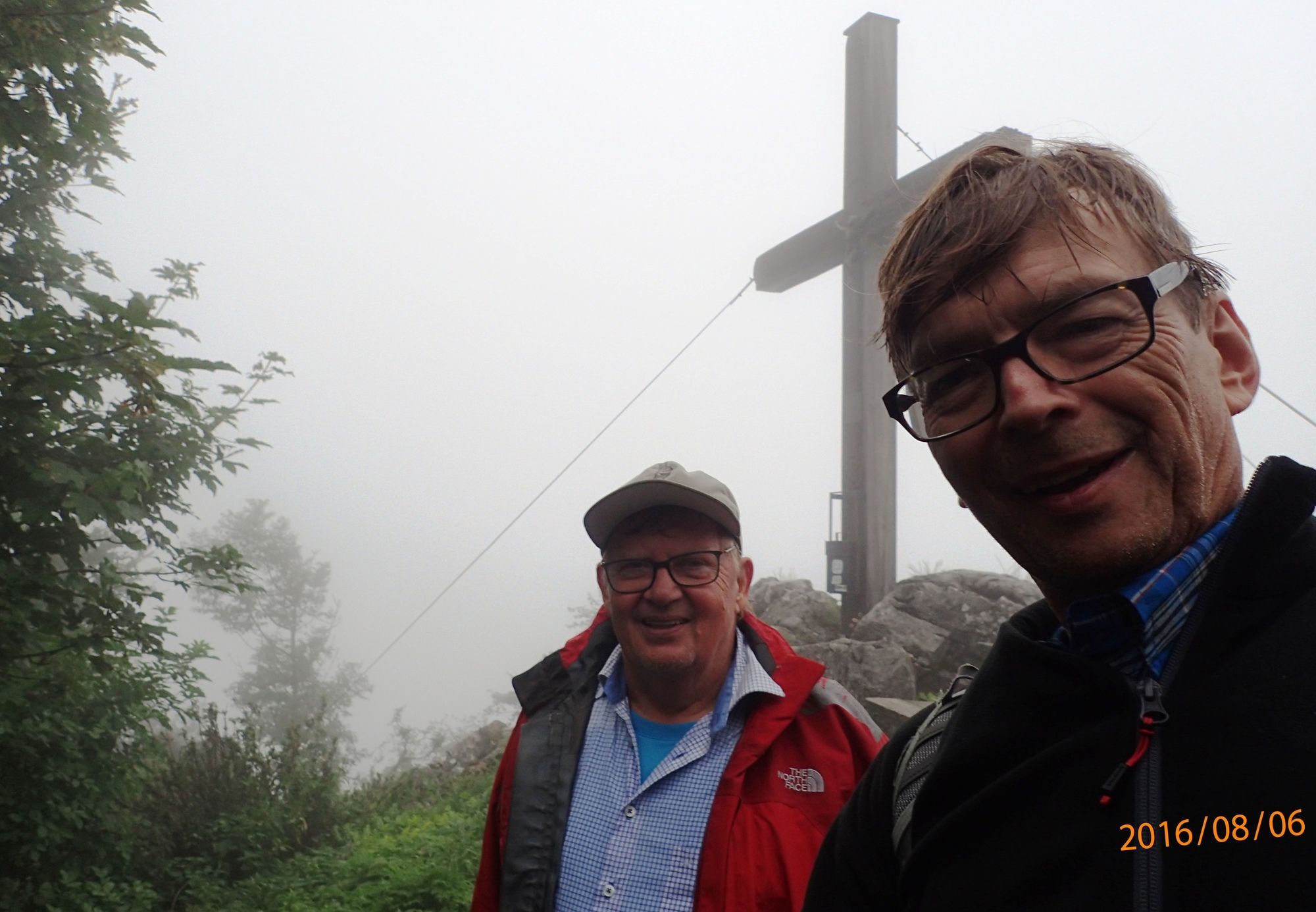
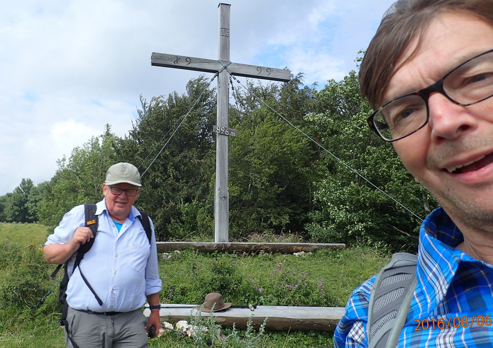
- Hohenstein (1,195 m)
- Endpoint
-
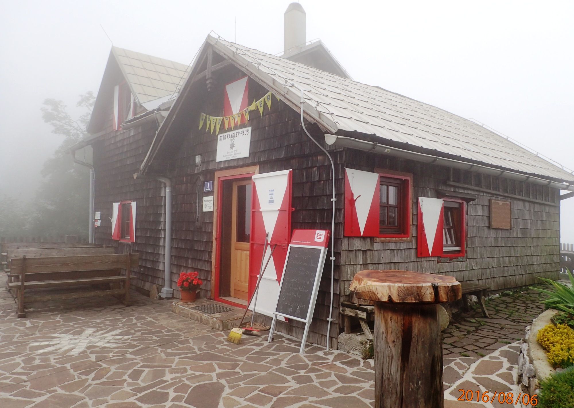
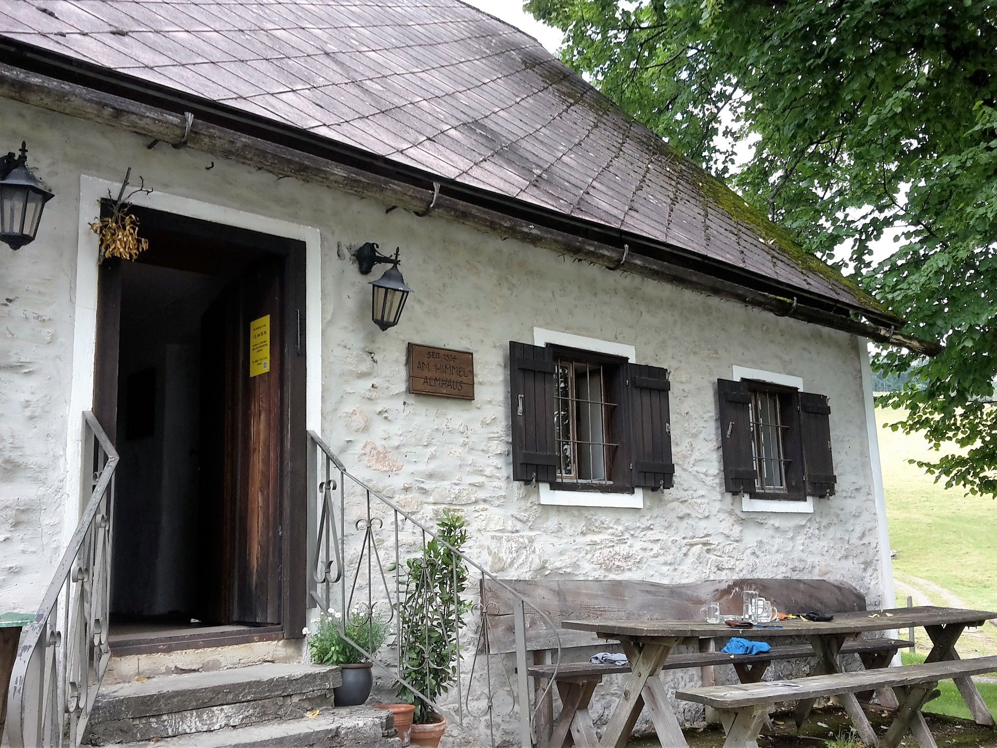
Hohenstein, Otto Kandler Haus und Am Himmel
- Rest/Retreat
-
Hohenstein das Otto Kandler Haus und Am Himmel
- Ticket material
-
bergfex, amap, kompass, opentopomap
- Source
- Erich Helferstorfer
GPS Downloads


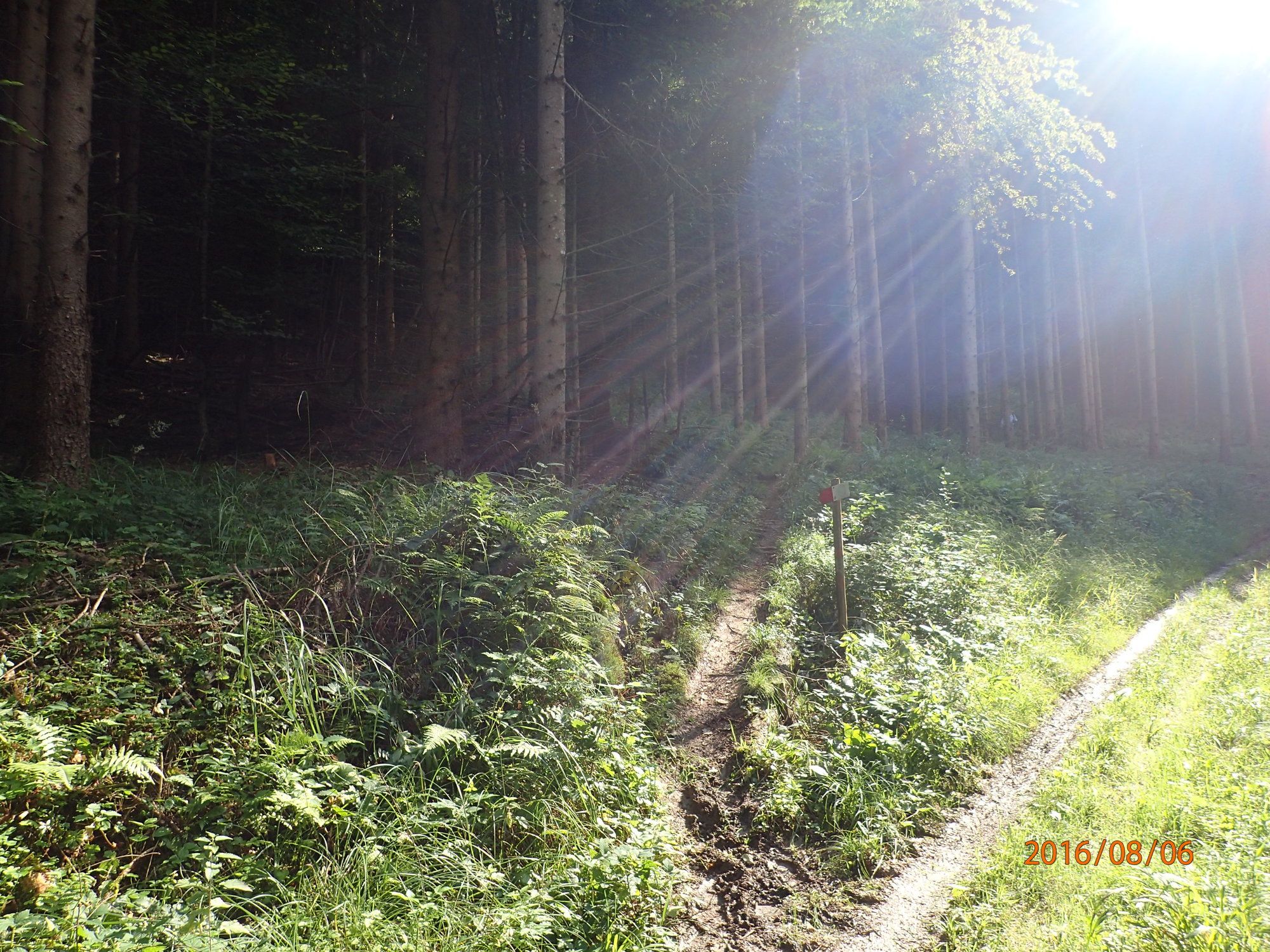
Trail conditions
Asphalt
(20%)
Gravel
(35%)
Meadow
(25%)
Forest
((35%))
Rock
Exposed
Other tours in the regions
-
Mostviertel
2453
-
Traisen-Gölsental
1339
-
Türnitz
370