


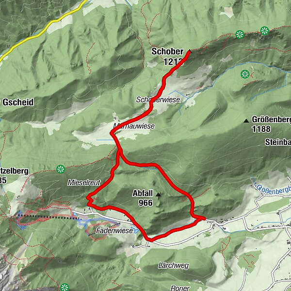
Tour data
11.2km
660
- 1,214m
949hm
931hm
05:00h
- Difficulty
-
easy
- Rating
-
- Route
-
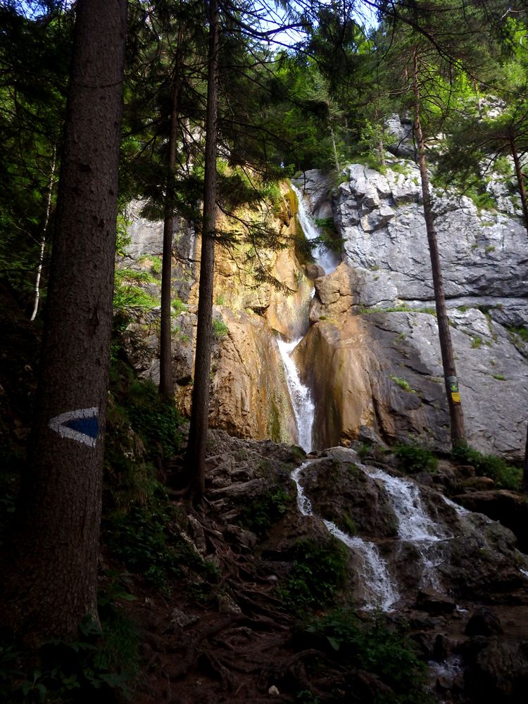
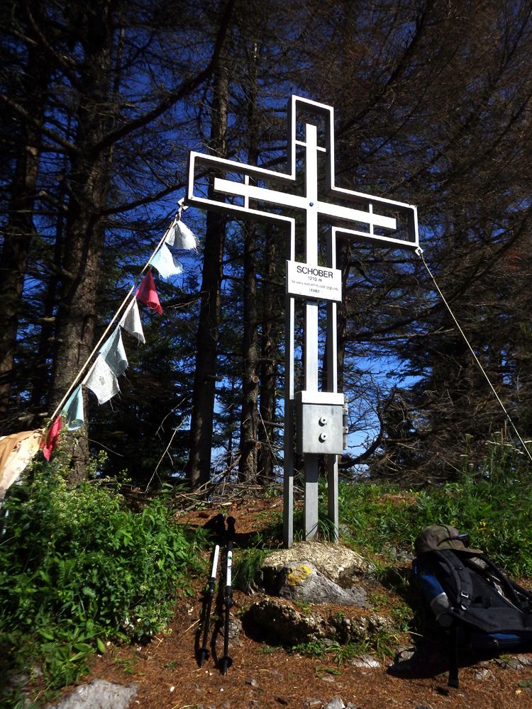
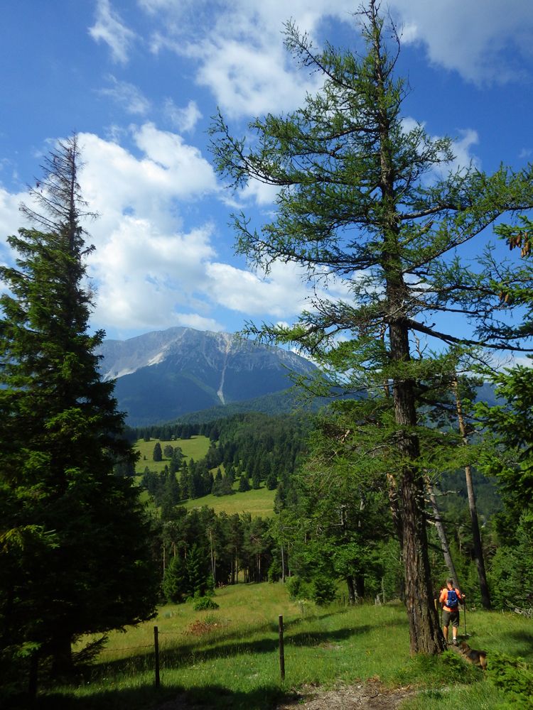
Wasserfall-Wirt0.2 kmSebastianhütte0.2 kmSebastianfall0.3 kmSource in the forest0.4 kmSebastian-Halbhöhle1.0 kmSchober (1,213 m)2.4 kmSchoberkapelle2.7 kmMieselreith (952 m)3.9 kmKarstquelle4.4 kmKarstquelle4.6 kmLosenheim4.8 kmWasserfall-Wirt5.7 kmSebastianhütte5.8 kmSebastianfall5.9 kmSource in the forest6.0 kmSebastian-Halbhöhle6.6 kmSchober (1,213 m)8.0 kmSchoberkapelle8.3 kmMieselreith (952 m)9.5 kmKarstquelle10.0 kmKarstquelle10.2 kmLosenheim10.4 km
- Best season
-
JanFebMarAprMayJunJulAugSepOctNovDec
- Highest point
- Schober (1,214 m)
GPS Downloads


Other tours in the regions


