
© ZWalk.at
© ZWalk.at
© ZWalk.at
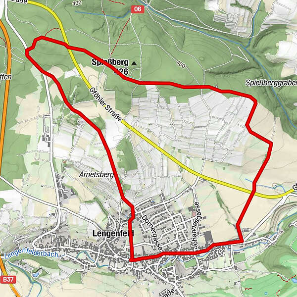
Tour data
6.66km
295
- 417m
112hm
119hm
01:45h
- Brief description
-
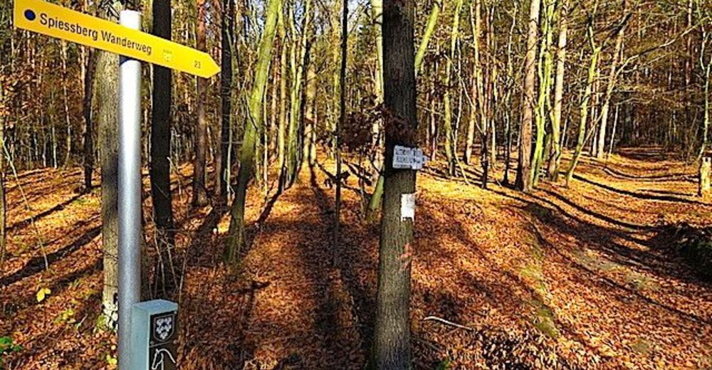
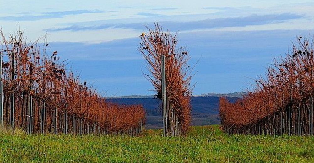
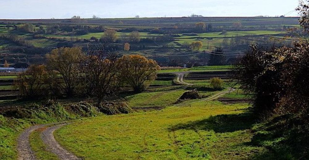
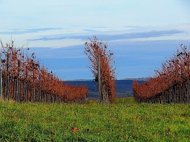
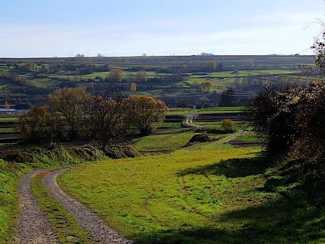
Die Tour führt durch eine typische, leicht hügelige Waldviertler Landschaft. Es geht durch Felder, Wiesen und Wälder, die sich ständig abwechseln.
- Difficulty
-
easy
- Rating
-
- Starting point
-
Lengenfeld
- Route
-
Gasthaus Anderl0.0 kmLengenfeld0.3 kmHeuriger Völkl5.7 kmLengenfeld6.6 kmGasthaus Anderl6.6 km
- Highest point
- 417 m

- Source
- ZWalk
GPS Downloads


Other tours in the regions
-
Donau Niederösterreich
2289
-
Kamptal - Manhartsberg
1158
-
Lengenfeld
549


