© gert gasperin
© gert gasperin
© gert gasperin
© gert gasperin
© gert gasperin
© gert gasperin
© gert gasperin
© gert gasperin
© gert gasperin
© gert gasperin
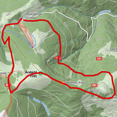
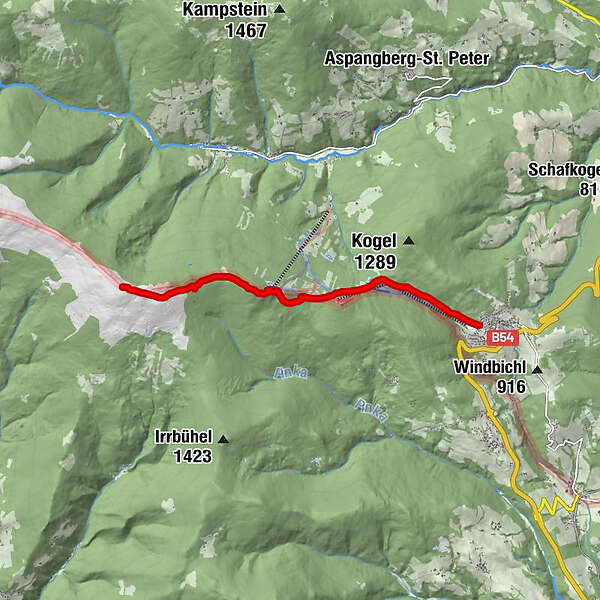
Tour data
7.03km
998
- 1,658m
679hm
06:30h
- Brief description
-
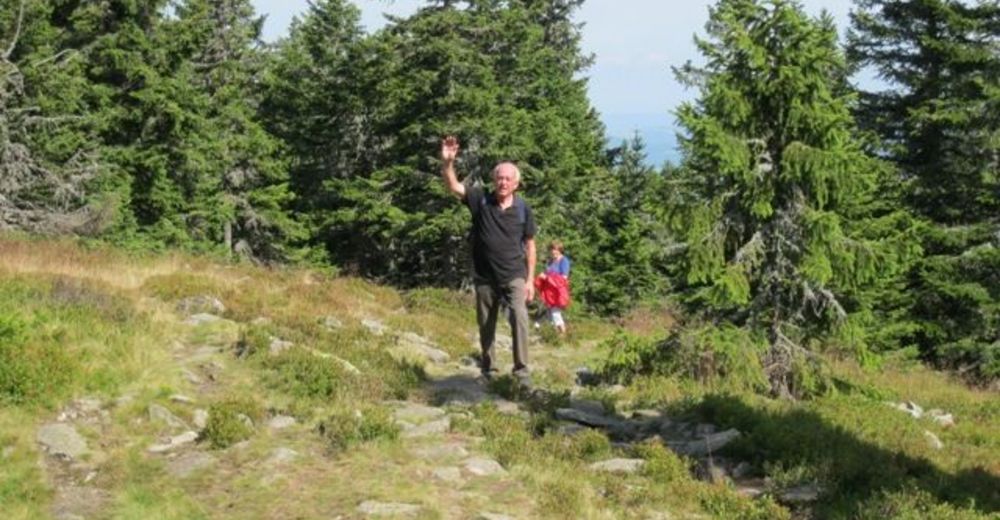
Leichte Wanderung auf der Grenze Niederösterreich Steiermark
- Rating
-
- Starting point
-
Mönichkirchen
- Route
-
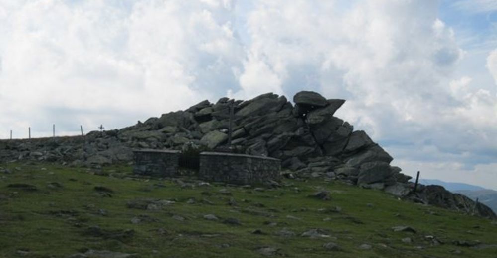
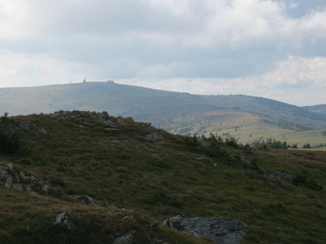
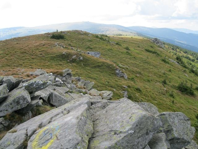
MönichkirchenSchauquellfassung0.7 kmBerggasthof Mönichkirchner Schwaig2.0 kmAlpengasthof Enzian2.1 kmHallerhaus3.3 kmStoa Alm3.9 kmSteinerne Stiege (1,505 m)4.4 kmNiederwechsel (1,669 m)7.0 km
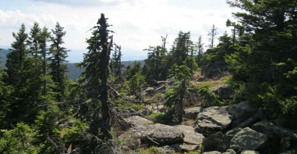
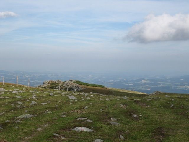
- Highest point
- 1,658 m


GPS Downloads


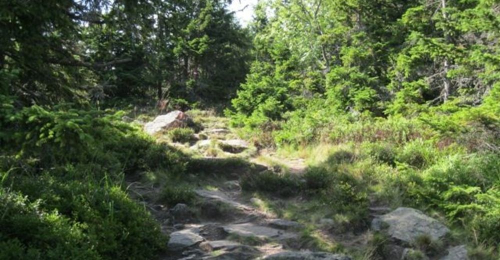
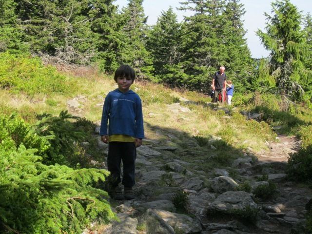
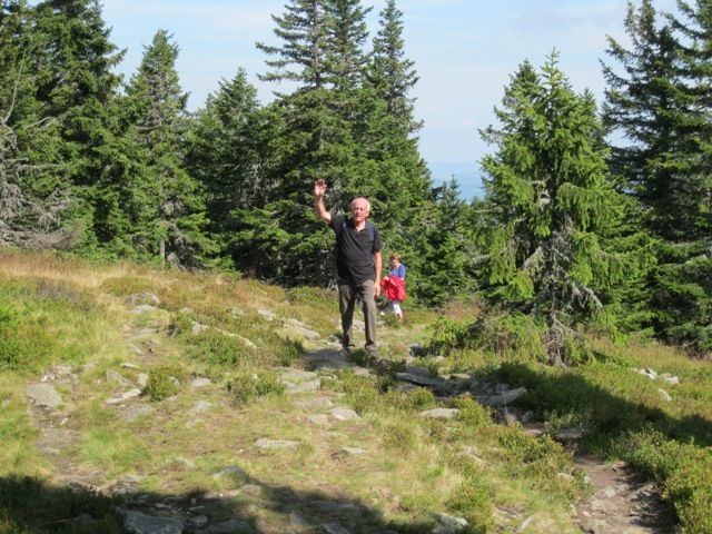
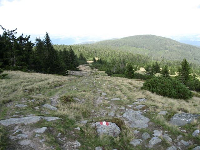
Trail conditions
Asphalt
Gravel
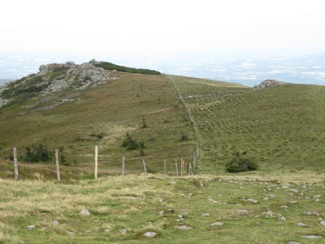
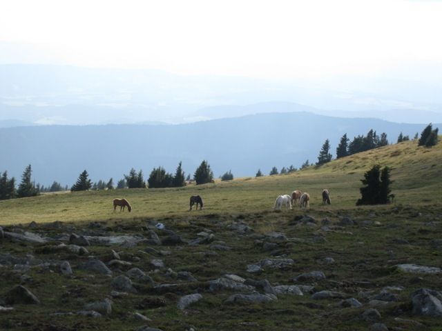
Meadow
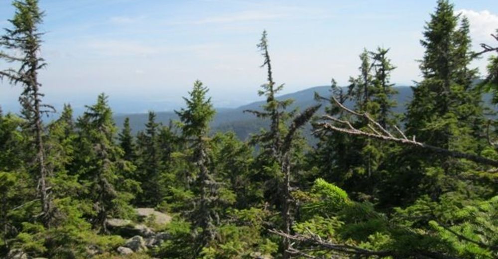
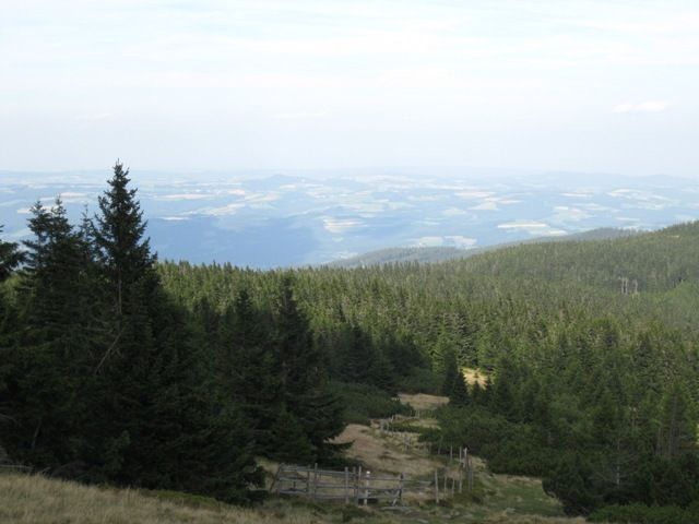
Forest
Rock
Exposed
Other tours in the regions
-
Wiener Alpen
3048
-
Wechselland - Wiener Alpen
1704
-
Mönichkirchen
358