© Ötscher Tourismusverband - Christian Teufel

© Mostviertel - Mostviertel Tourismus GmbH
- Brief description
-
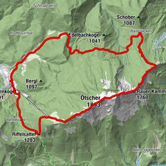
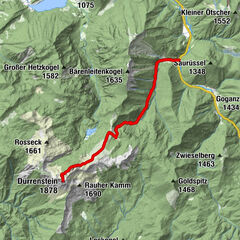
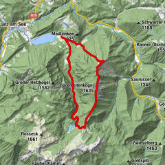
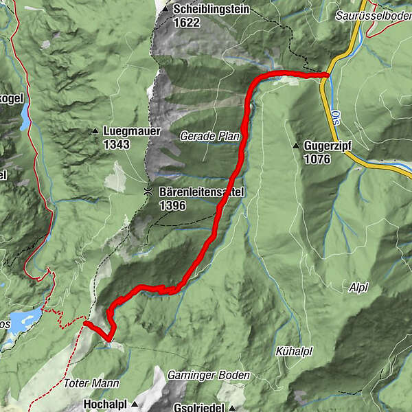
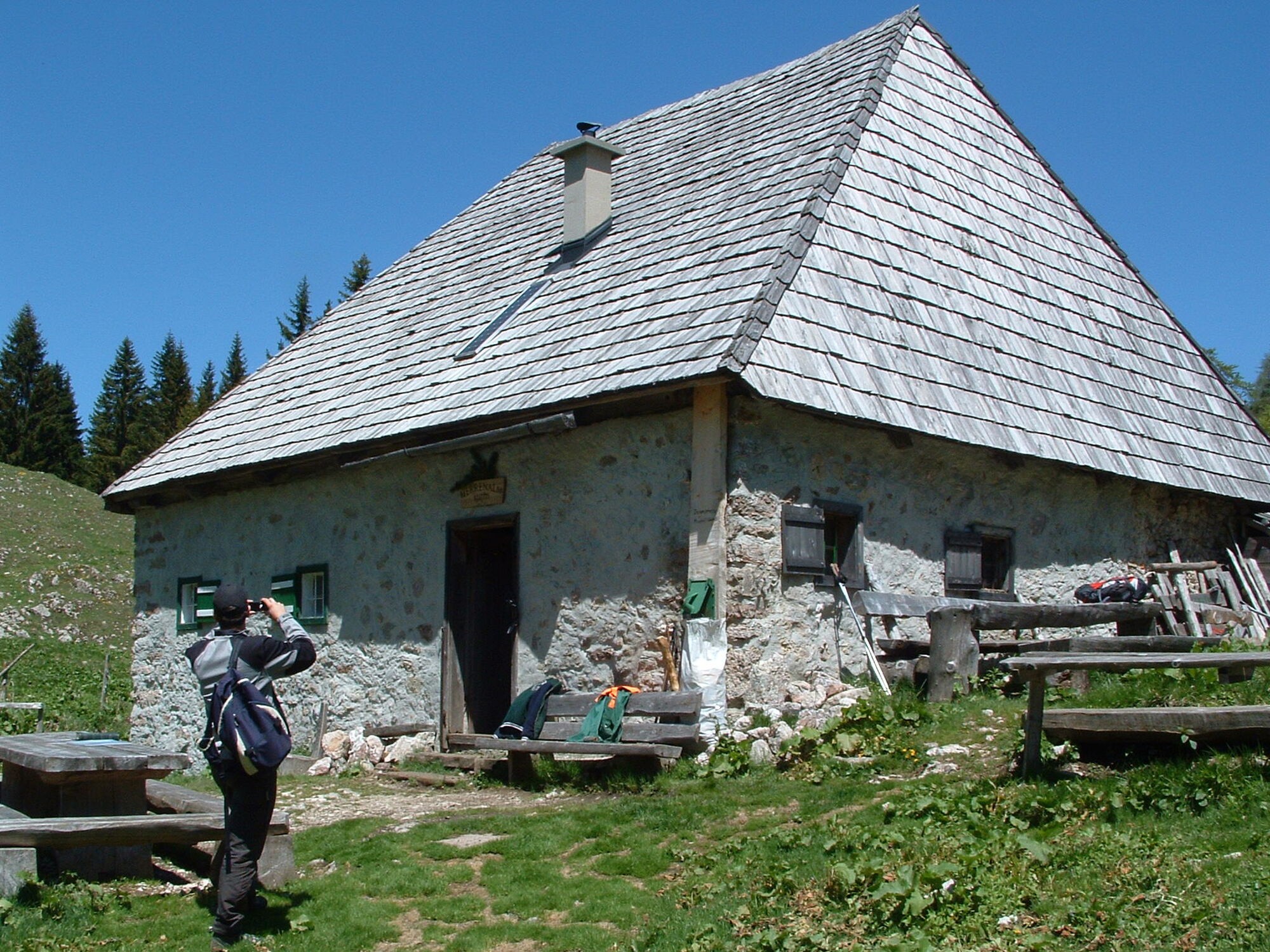
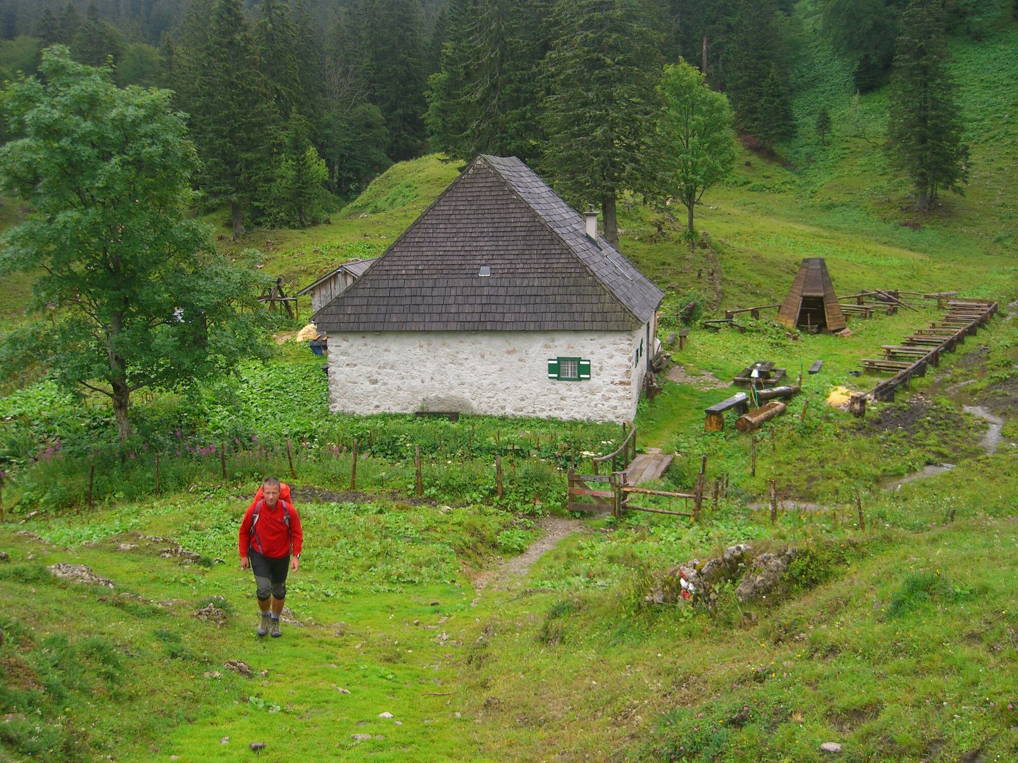
Bergwanderung entlang des Taglesbaches auf die Herrenalm
- Difficulty
-
medium
- Rating
-
- Route
-
Herrenalm5.3 kmLeonhardikreuz5.8 km
- Best season
-
JanFebMarAprMayJunJulAugSepOctNovDec
- Highest point
- 1,400 m
- Height profile
-

- Author
-
The tour Wanderung auf die Herrenalm von Langau is used by outdooractive.com provided.
GPS Downloads


General info
Refreshment stop
A lot of view
Other tours in the regions
-
Mostviertel
2453
-
Hochschwab
1272
-
Lackenhof am Ötscher
414