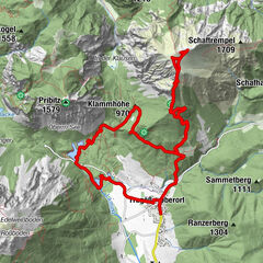
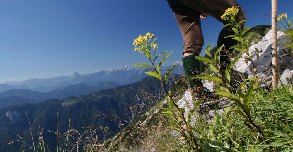
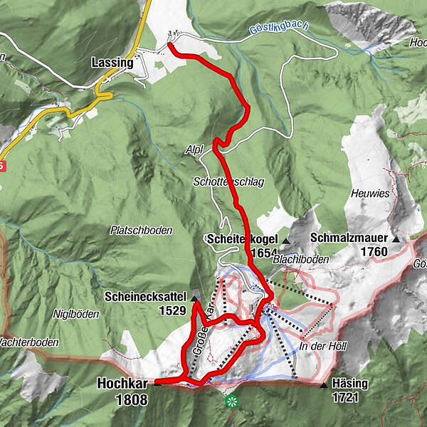
Tour data
8.7km
688
- 1,808m
1,098hm
04:30h
- Rating
-
- Starting point
-
Mautstelle Lassing
- Route
-
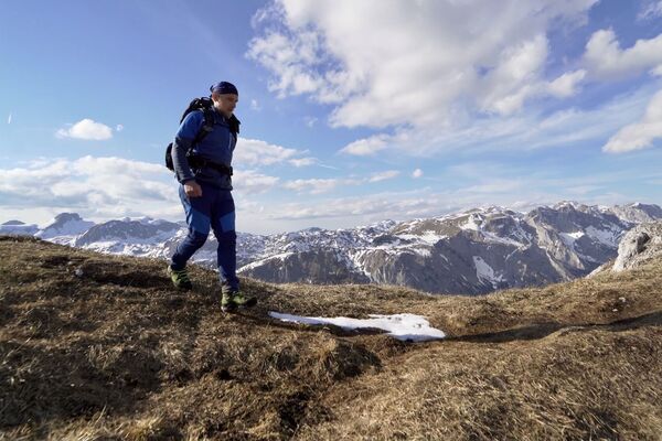
Stützenschacht5.0 kmHochkar (1,808 m)6.3 kmRieglerschacht6.4 kmScheinecksattel (1,530 m)7.6 kmHochkar-Kapelle8.5 km
- Highest point
- 1,808 m
- Rest/Retreat
-
Gasthöfe am Hochkar
Fahrnberger, Alpenhotel Ensmann in Lassing


GPS Downloads


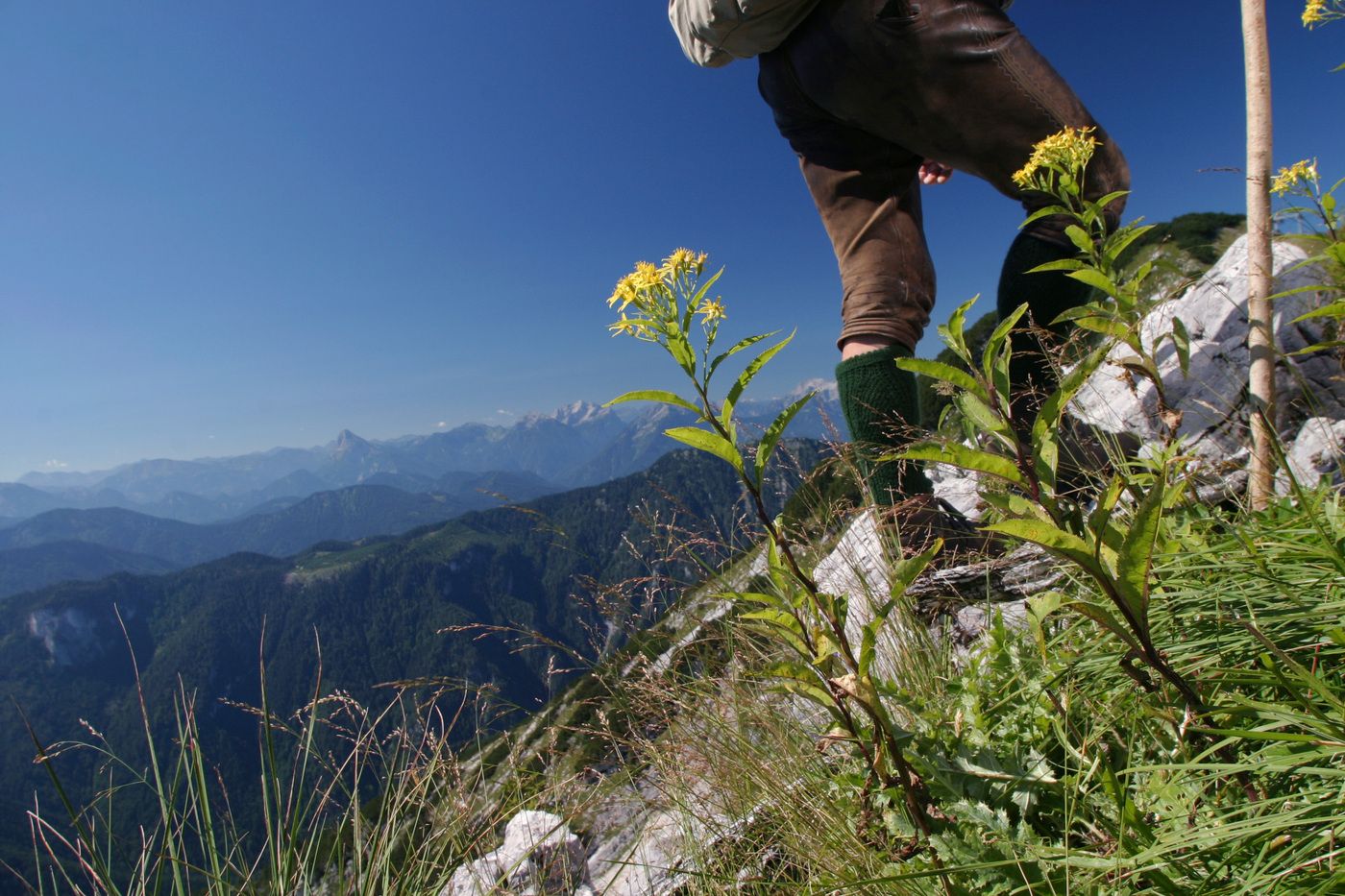
Trail conditions
Asphalt
Gravel
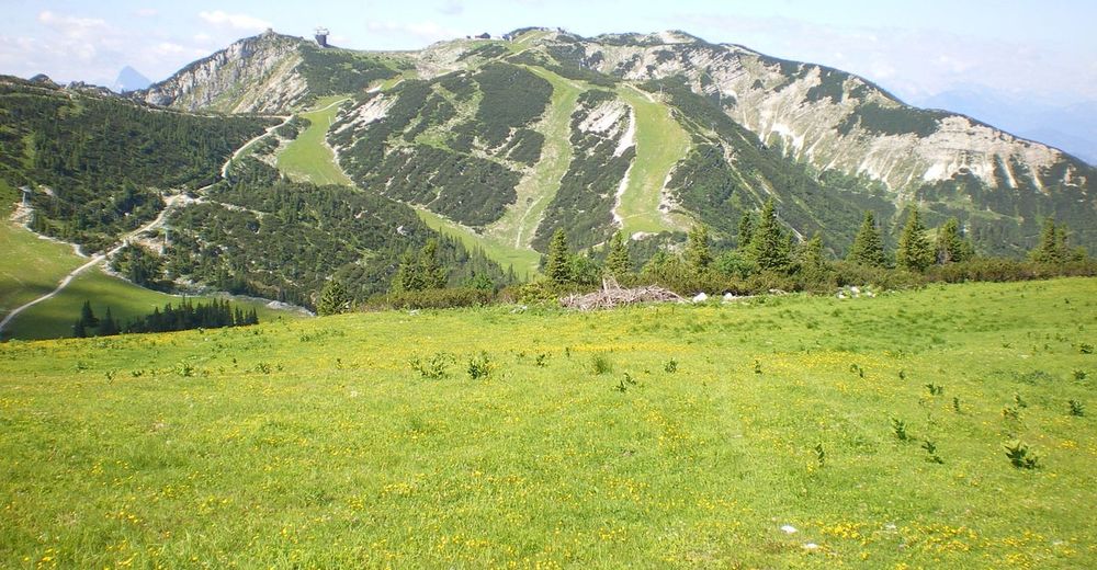
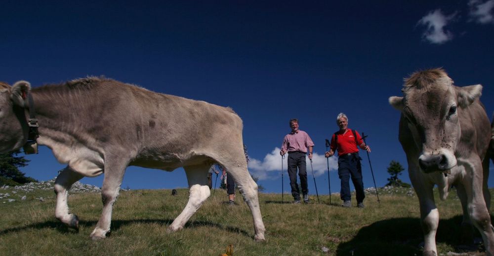
Meadow
Forest
Rock
Exposed
Other tours in the regions
-
Erzberg Leoben
2530
-
Hochschwab
1272
-
Hochkar
223