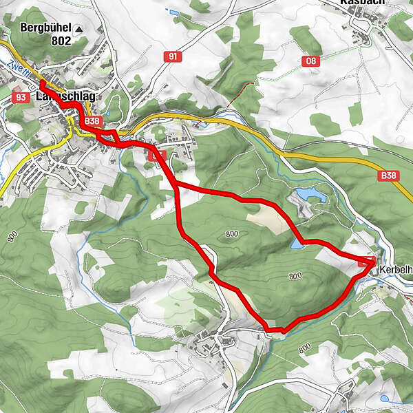
Tour data
5.7km
735
- 813m
101hm
111hm
01:30h
- Brief description
-
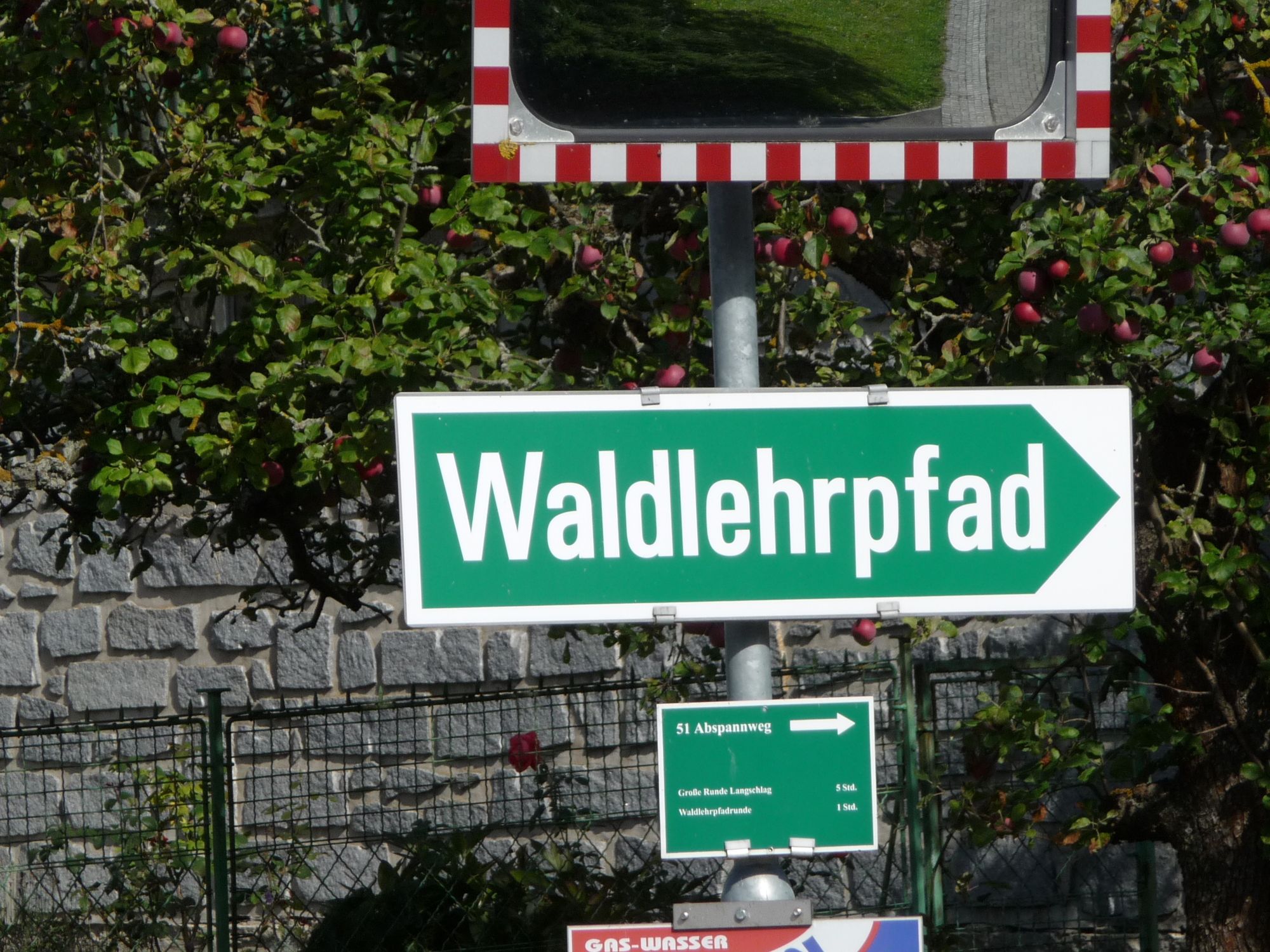
Ein Rundweg - führt auf einem Forstweg durch Wälder und Wiesen.
- Difficulty
-
easy
- Rating
-
- Route
-
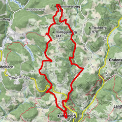
Langschlag0.1 kmLangschlag0.4 kmSchloßbergfeld2.0 kmGasthaus Schweifer5.0 kmLangschlag5.0 kmLangschlag5.6 km
- Best season
-
JanFebMarAprMayJunJulAugSepOctNovDec
- Highest point
- 813 m
- Source
- wanderrast
GPS Downloads


Other tours in the regions
-
Waldviertel
1778
-
Oberes Waldviertel
615
-
Langschlag im Waldviertel
285