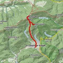
Tour data
5.5km
578
- 878m
295hm
01:30h

- Brief description
-
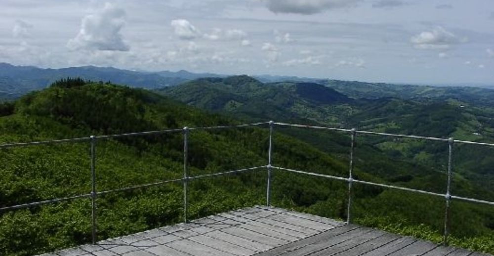
Dieser Wanderweg führt auf den Schöpfl, den höchsten Berg des Wienerwaldes. Die Aussichtswarte garantiert einen grandiosen Blick über den Wienerwald
- Rating
-
- Starting point
-
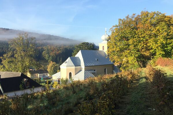
Ortszentrum St. Corona
- Route
-
St. Corona am SchöpflSchöpfl (893 m)2.6 kmSchöpfl-Schutzhaus2.7 km
- Highest point
- 878 m
- Rest/Retreat
-
Gasthof St. Corona erholen (Mo Ruhetag, Tel. 02673/82153)
- Ticket material
-
Marktgemeinde Altenmarkt, Tel. 02673/2200-0
marktgemeinde@altenmarkt-triesting.gv.at
GPS Downloads


Trail conditions
Asphalt
Gravel
Meadow
Forest
Rock
Exposed
Other tours in the regions
-
Wienerwald
4208
-
Elsbeere-Wienerwald
1216
-
Brand-Laaben
303