
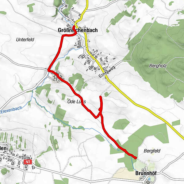
Tour data
3.34km
608
- 643m
8hm
43hm
00:49h
- Brief description
-
Akku leer , Ende wäre Gmünd
- Difficulty
-
easy
- Rating
-
- Route
-
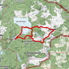
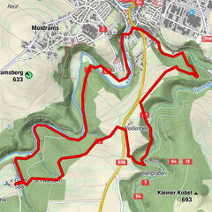
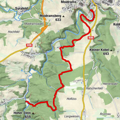
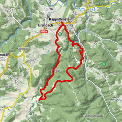
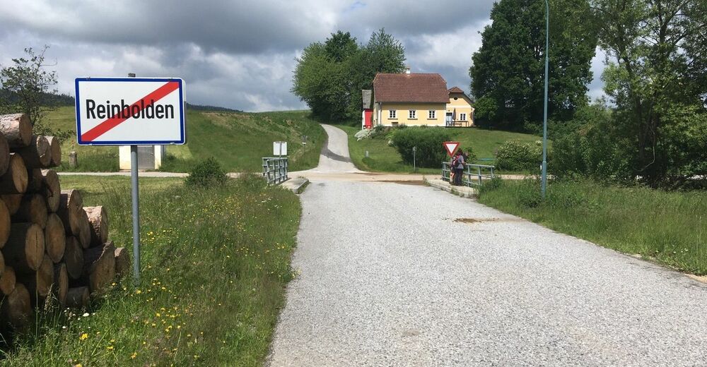
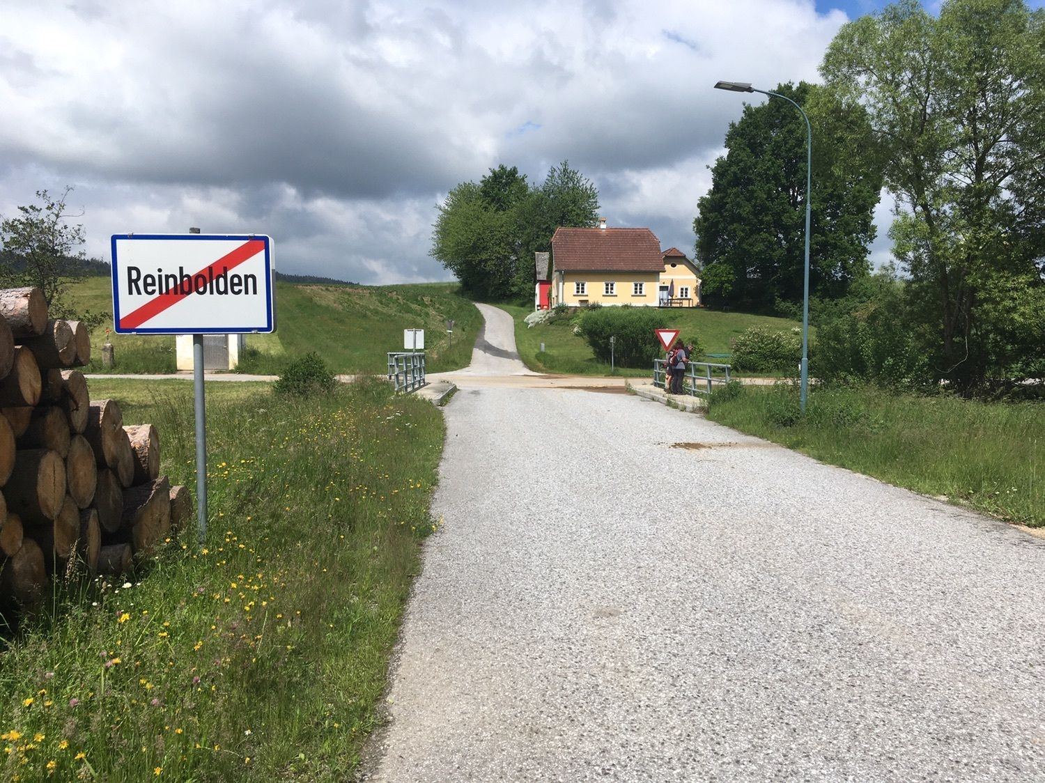
BrunnhöfReinbolden2.3 kmGroßreichenbach3.1 km
- Highest point
- 643 m


GPS Downloads


Other tours in the regions
-
Waldviertel
1776
-
Oberes Waldviertel
614
-
Schweiggers
216