© ZWalk.at

© ZWalk.at

© ZWalk.at
Tour data
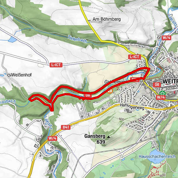
4.14km
535
- 576m
106hm
106hm
01:30h
- Brief description
-
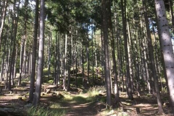
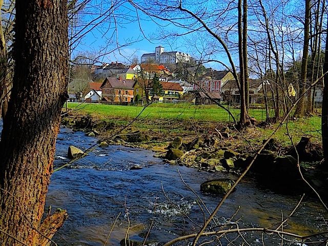
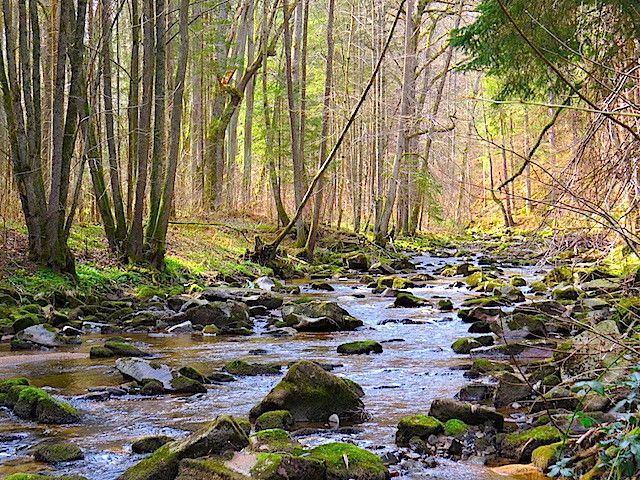
Die Tour führt durch eine typische, leicht hügelige Waldviertler Landschaft. Es geht durch Felder, Wiesen und Wälder, die sich ständig abwechseln.
- Difficulty
-
easy
- Rating
-
- Starting point
-
Weitra
- Route
-
WeitraHolzhackerquelle Johannesbründl2.9 kmDr. Joahnn Kordik - Quelle3.3 kmWeitra3.9 kmBürgerspitalkirche Weitra4.0 km
- Highest point
- 576 m
- Source
- ZWalk
GPS Downloads


Other tours in the regions
-
Waldviertel
1778
-
Oberes Waldviertel
615
-
Weitra
236