WAB - Regional Route G: Kirchberg/Wechsel - Mönichkirchner Schwaig


- Brief description
-
Regional Route G leads up to Mönichkirchner Schwaig The Regional Routes are part of the network of paths making up the Viennese Alps (WAB) route. Hikes along these routes lead you to unique views and also insights. The Regional Routes are linked to the network of paths making up the Viennese Alps route. This results in circular hikes in conjunction with the long-distance path.
- Difficulty
-
medium
- Rating
-
- Starting point
-
Kirchberg / Wechsel municipal office
- Route
-
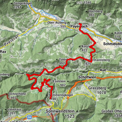
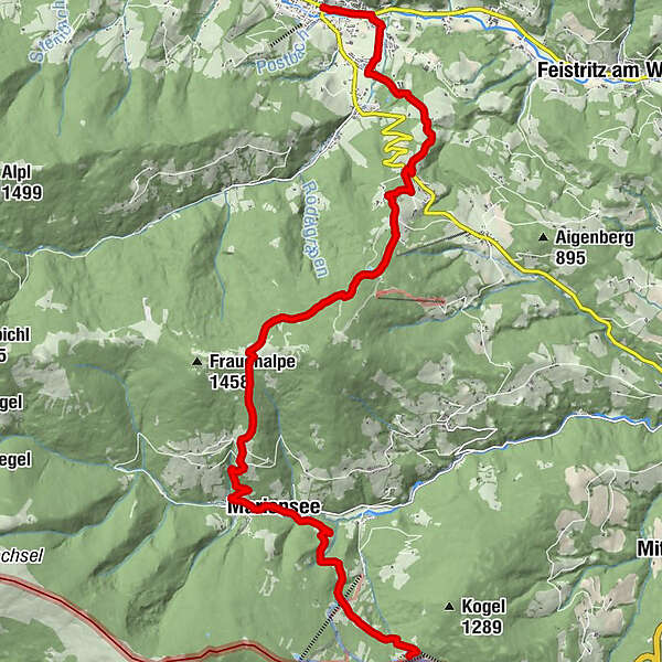
Kirchberg am Wechsel0.0 kmAm Stein1.2 kmWirtshaus Molzbachhof1.9 kmGourmetrestaurant Gaumenkitzel1.9 kmTratten2.0 kmKapelle3.1 kmWieden3.1 kmPfarrkirche St. Corona4.3 kmFernblick4.3 kmSt. Corona am Wechsel4.3 kmAbenteuerspielplatz6.5 kmAlmrauschhütte7.0 kmMariensee13.0 kmMarienseehof13.5 kmGasthof Reiterer13.6 kmBerggasthof Mönichkirchner Schwaig17.4 km
- Best season
-
JanFebMarAprMayJunJulAugSepOctNovDec
- Description
-
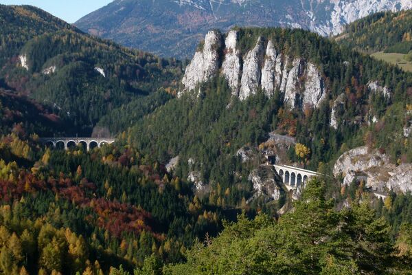
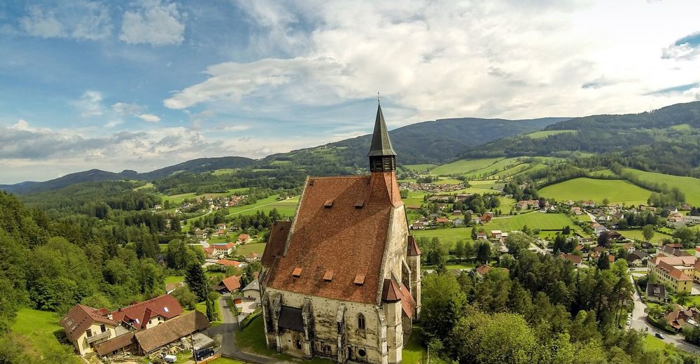
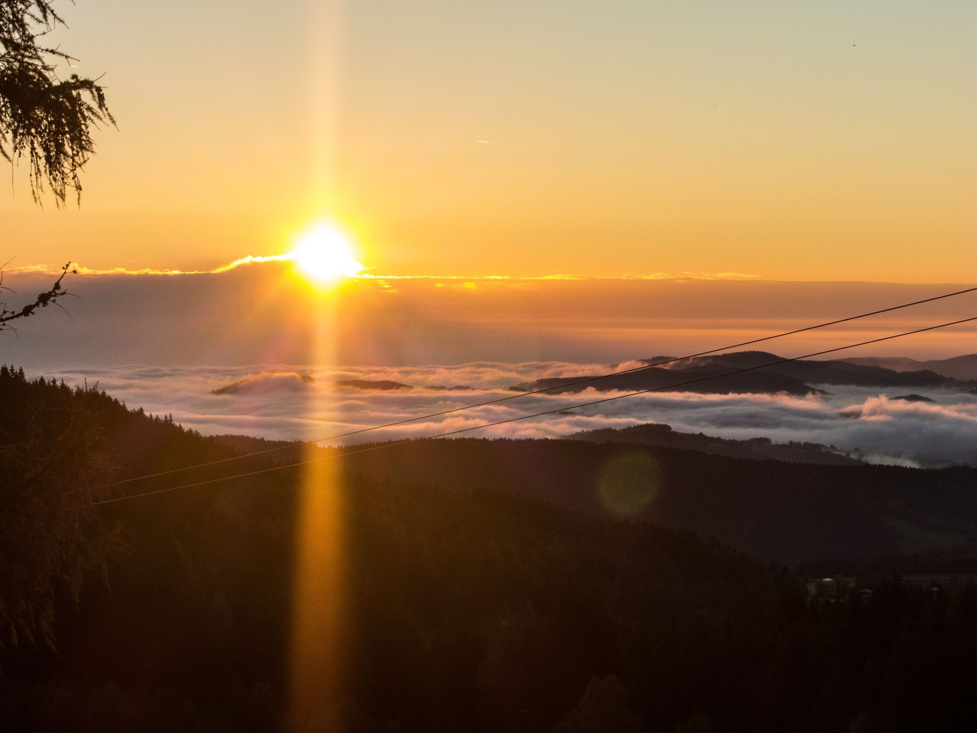
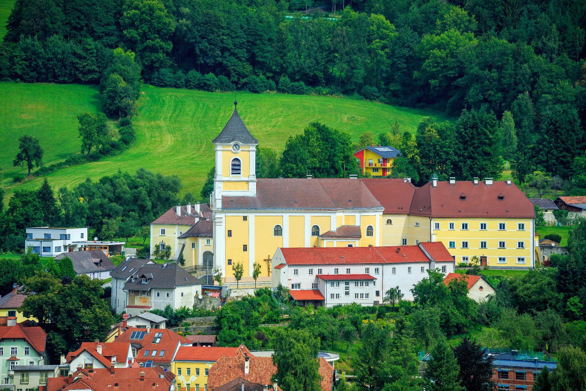
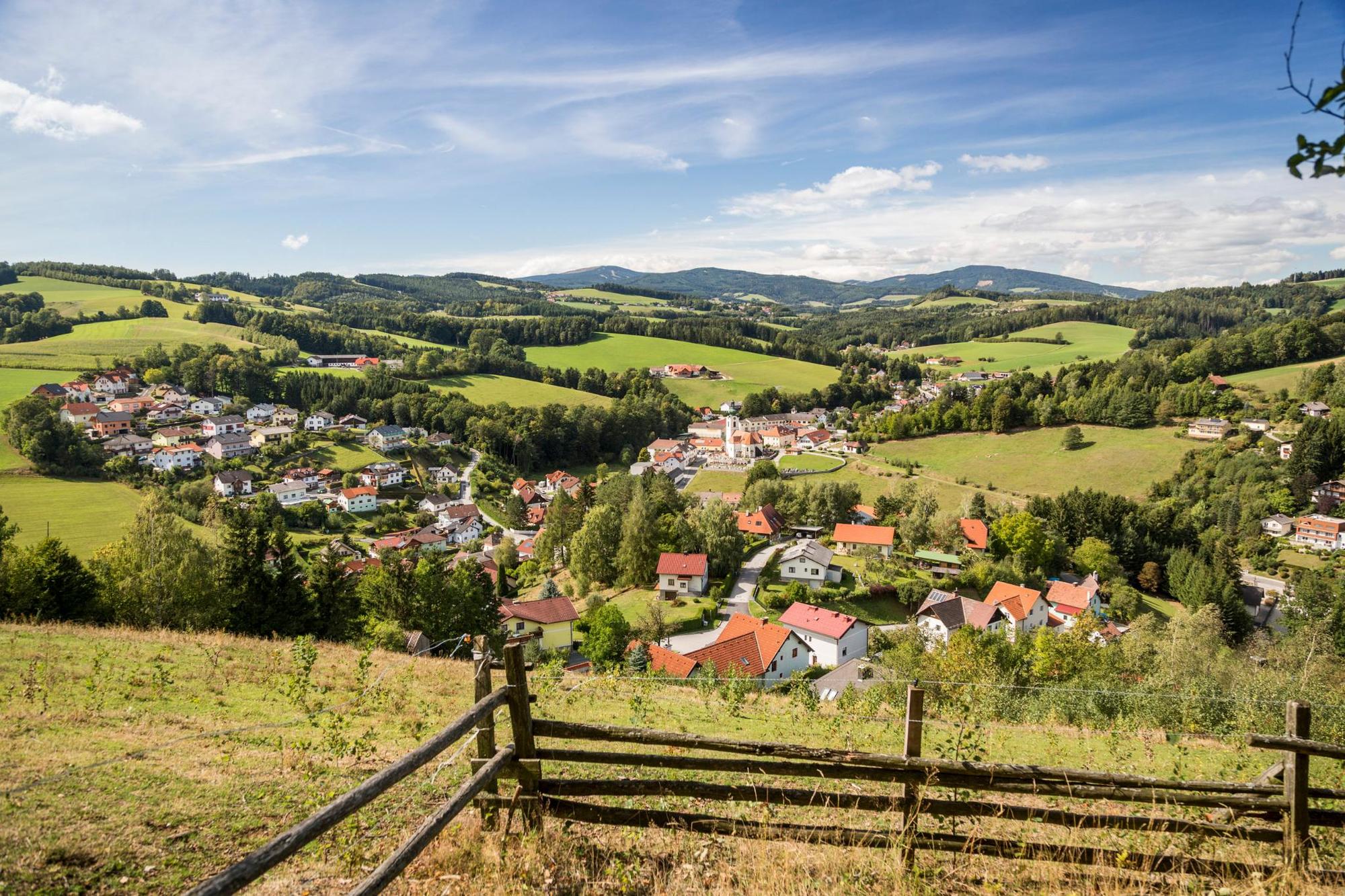
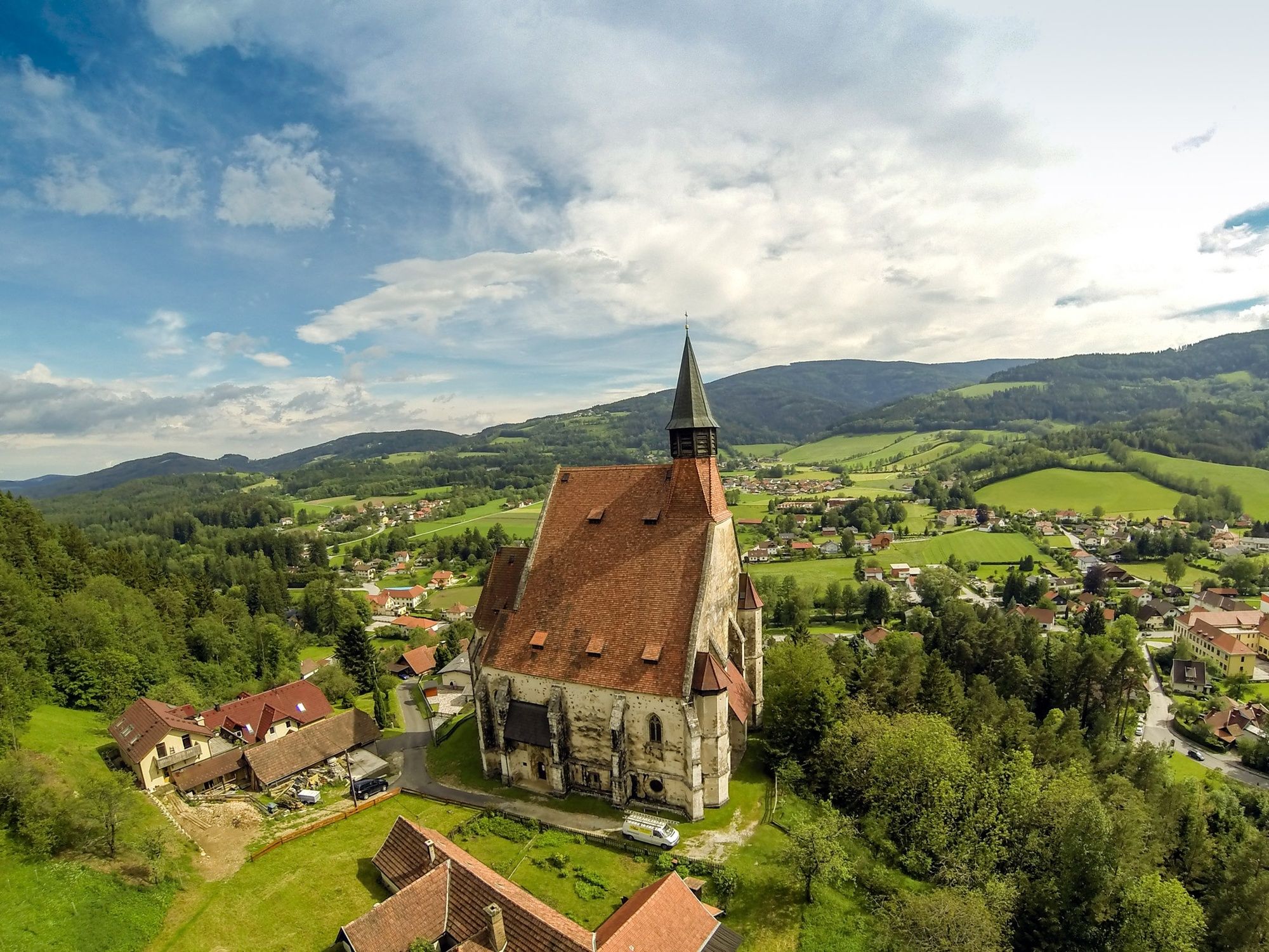
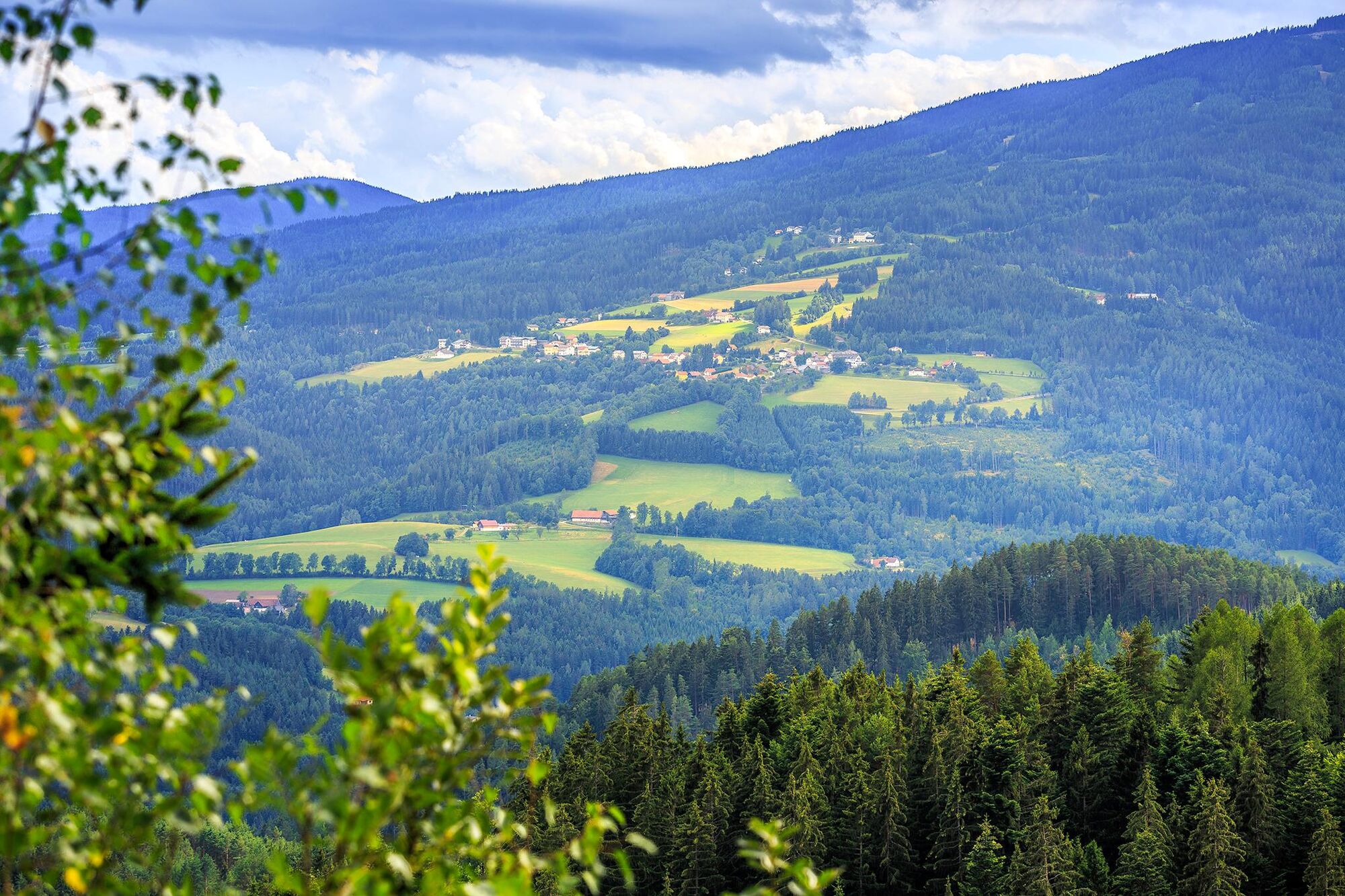
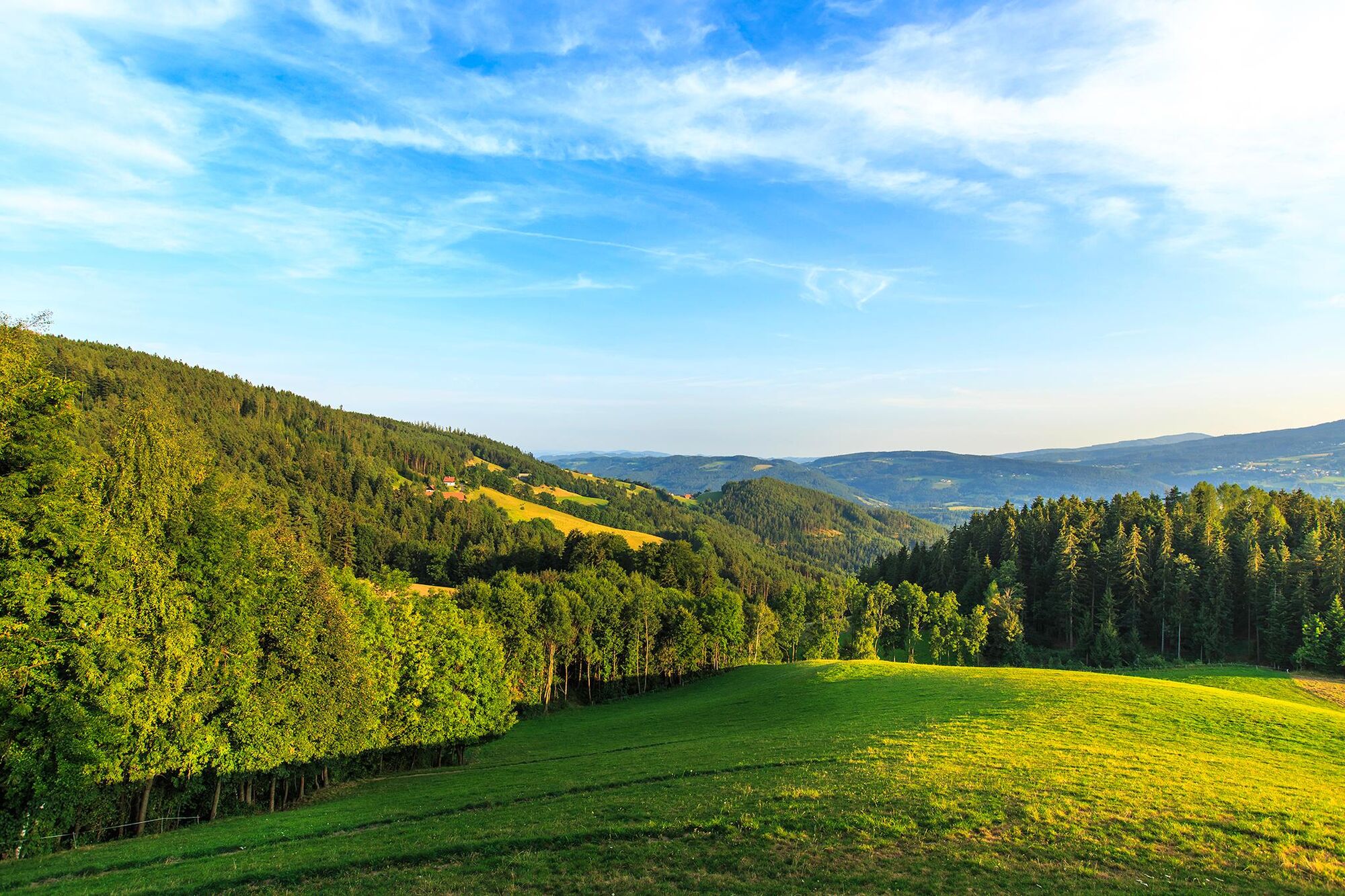
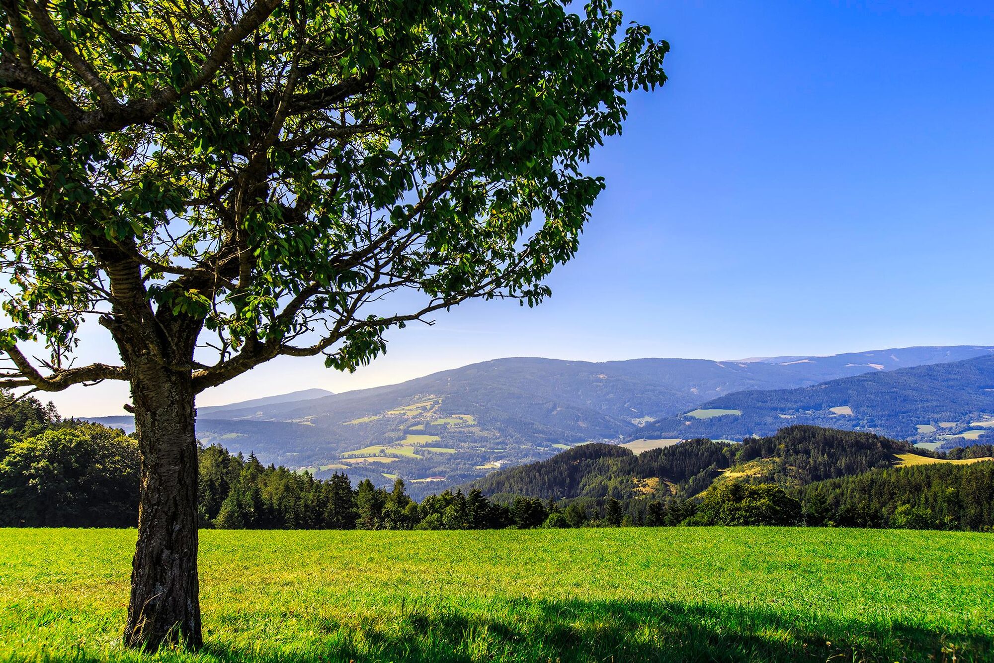
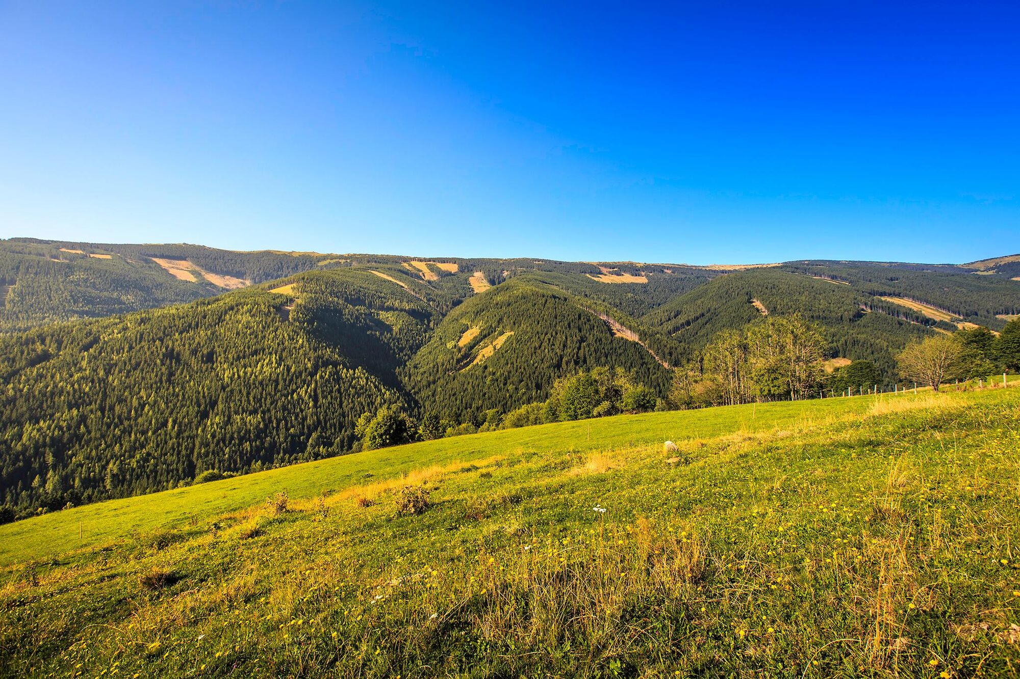
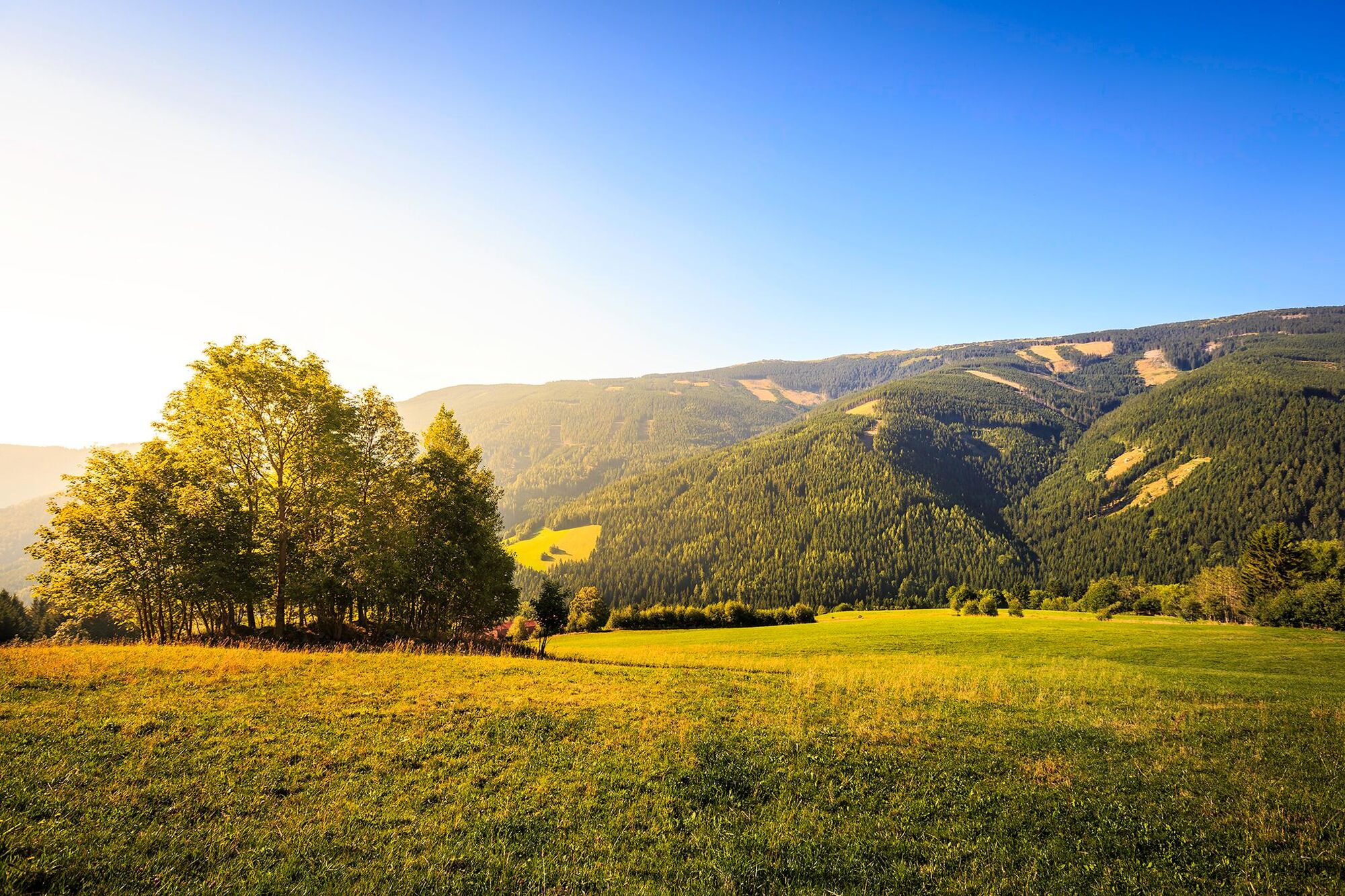
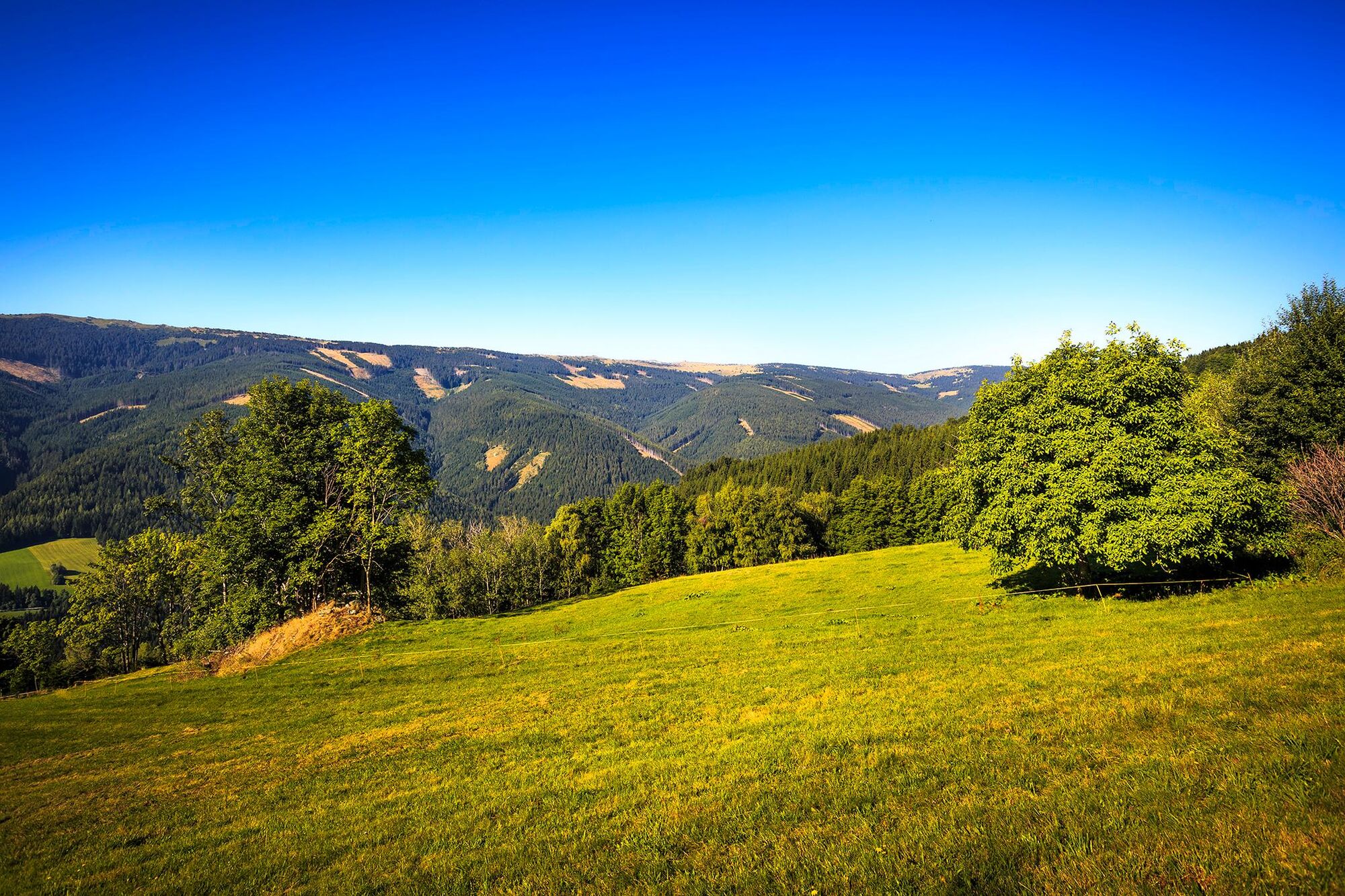
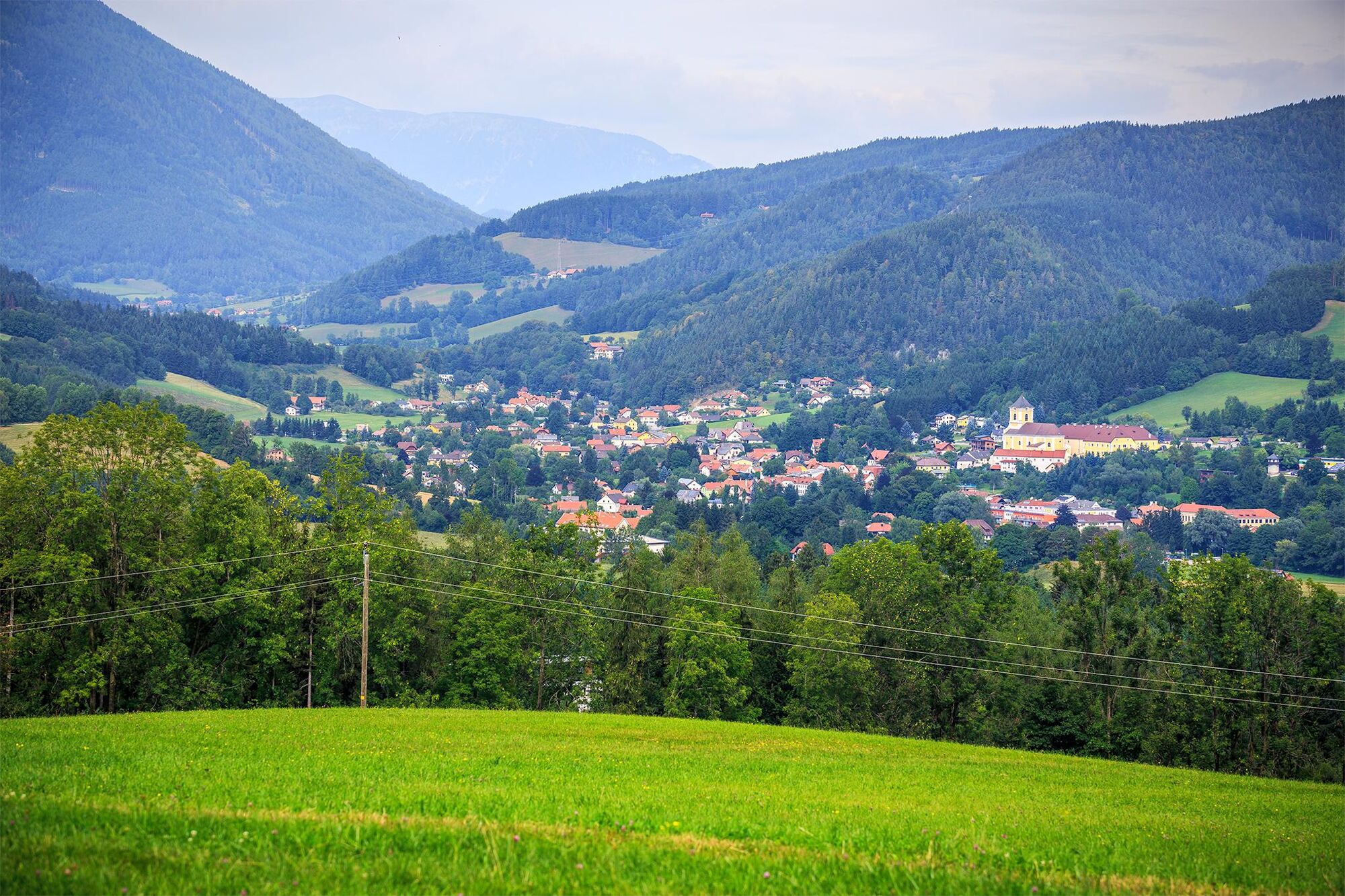
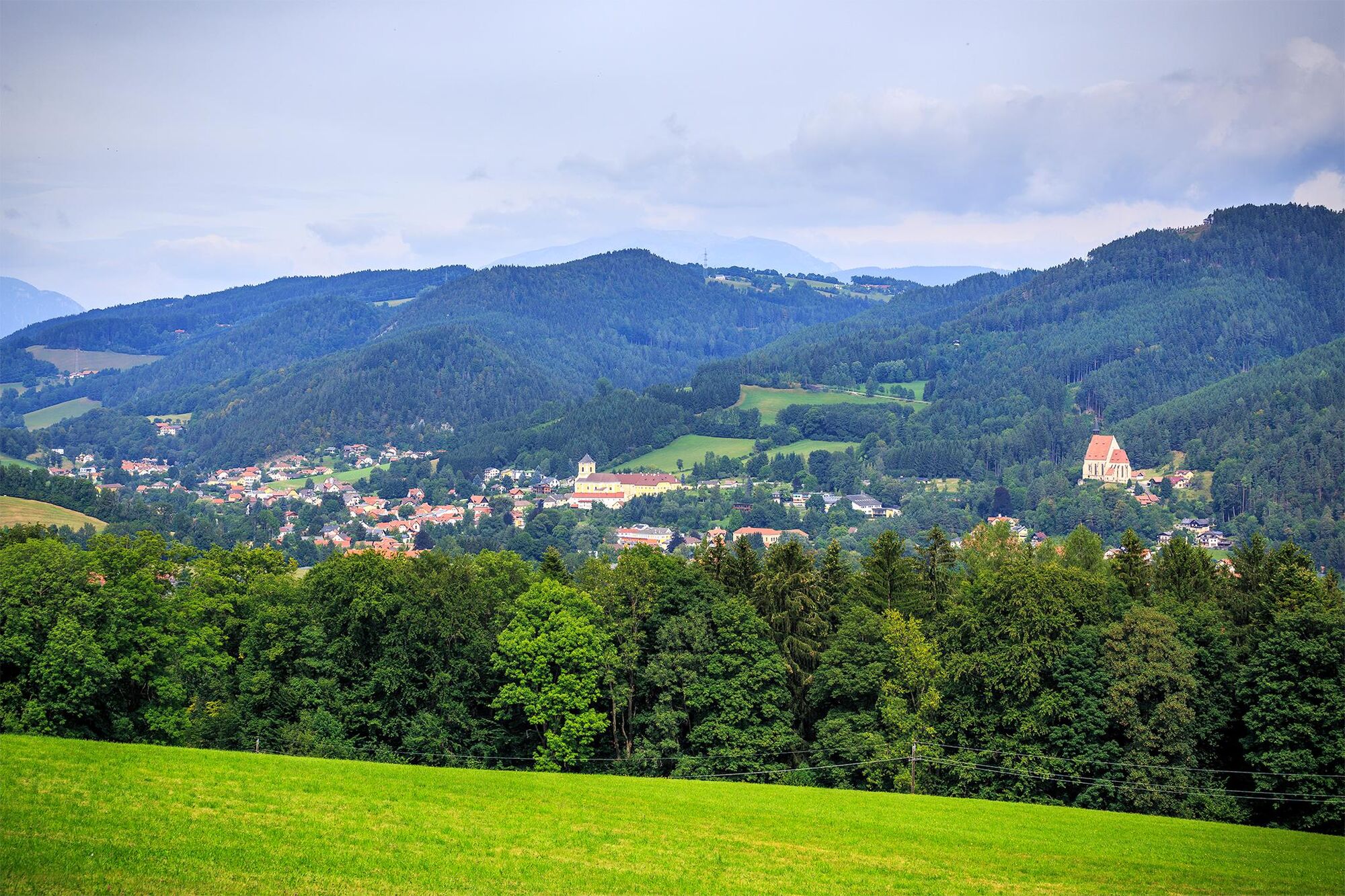
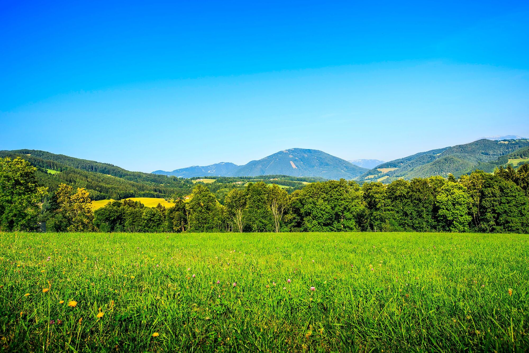
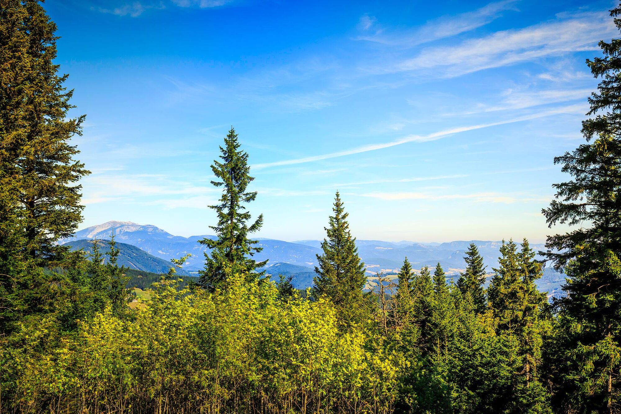
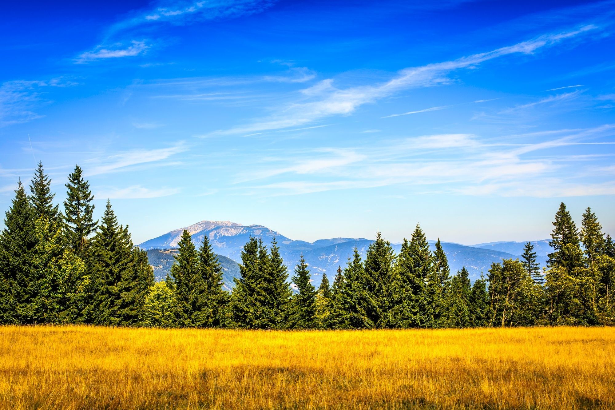
This hike promises an atmospheric crossing of the heavily forested Kampsteiner Schwaig summit, the highest part of this hike, over the Wechsel. A splendid panorama can be viewed here. Above all, a quaint, rural, cultivated landscape in perfect harmony enchants everyone who sees it. The renowned mountainside pilgrimage village of St. Corona is visited on this route, as well as Mariensee, which is essentially a colony of lumberjacks. Mönichkirchner Schwaig, where the mountain station chairlift is located, is the destination. It is essentially a base camp for further exploration of the Hochwechsel halfway up the mountain.
- Directions
-
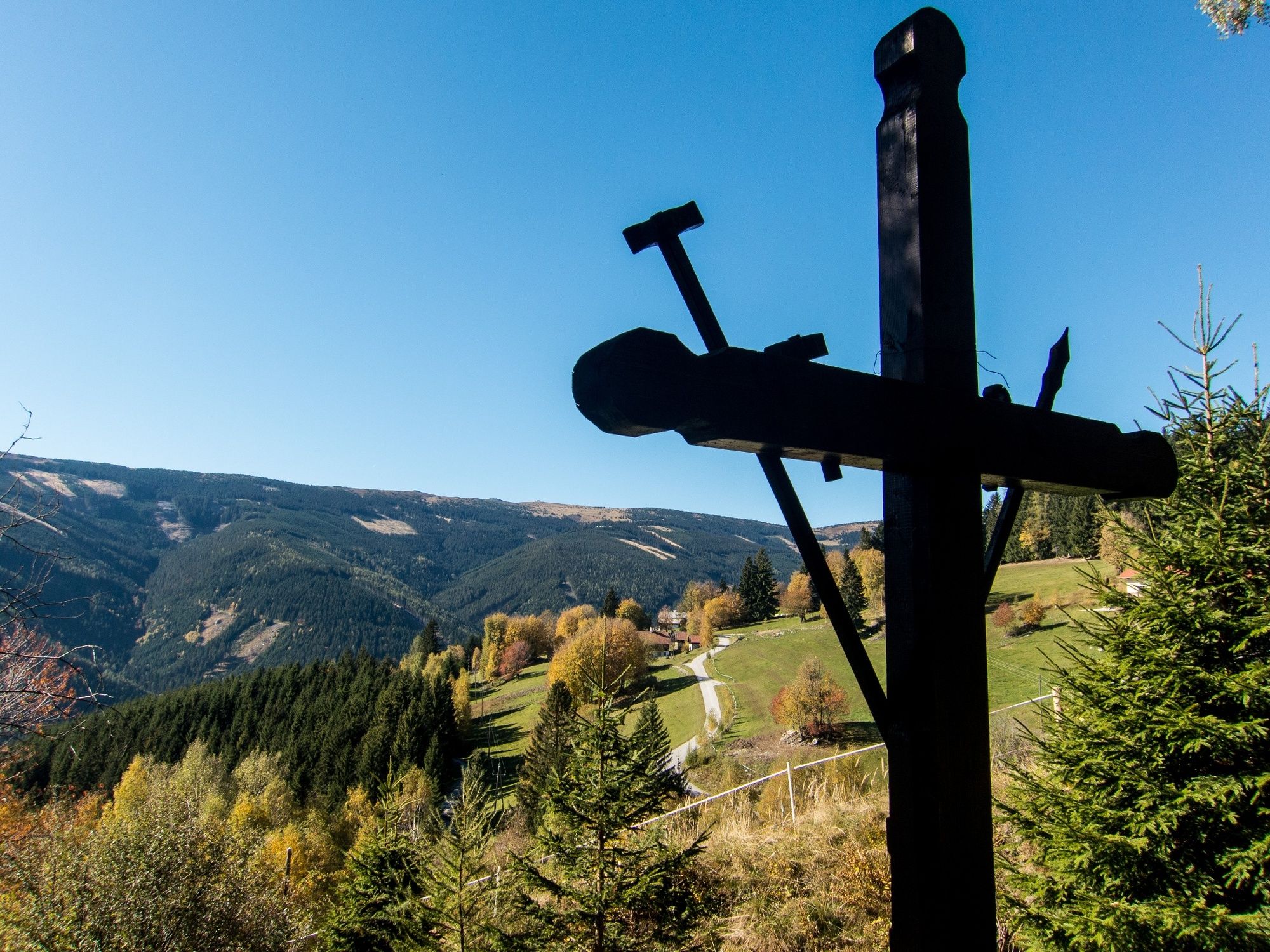
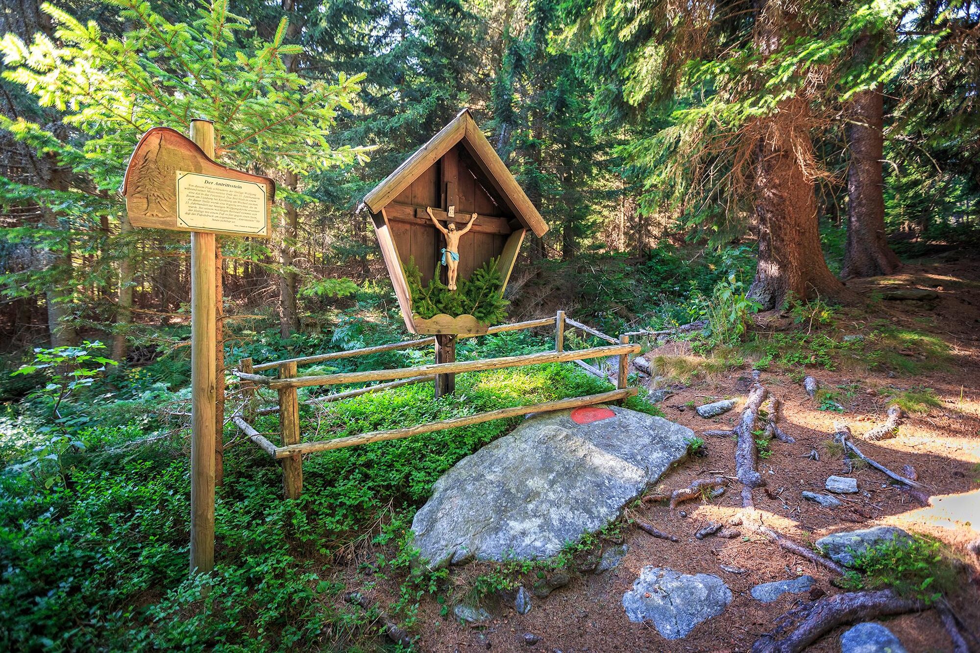
Regional Route G starts in the centre of Kirchberg/Wechsel. The first few metres start eastwards on the Hauptstraße towards Gasthof St. Wolfgang, shortly afterwards we turn right over Feistritzbrücke bridge. Alternatively, go south to the Feistritz river from the start and continue along the path alongside this river to the aforementioned bridge. We follow the road and when we reach no. 78, we turn right and head towards Molzbachhof. Go directly past the entrance to Molzbachhof, head past an old water wheel, and then continue along a slightly uphill road to Gymnasium Sachsenbrunn. When at the car park, we keep right and follow the hiking route towards St. Corona. We ascend up a forest path, hike along the edge of a row of trees to a track, and then turn left onto a road. After going past a chapel and a farmhouse, we come across a crossroads. At this point, we turn right onto an uphill hiking path heading for St. Corona. The centre of St. Corona is just after the cemetery. We turn right towards the church, then turn left onto a mountain road and keep left soon afterwards. A few minutes later, we leave the paved road and turn sharply right towards the mountain station for the summer toboggan run. We now go uphill through the forest, sometimes with the summer toboggan run alongside us. After the mountain station, we head past Gasthof-Pension (B&B/ hostel) Orthof and then turn right onto the Ameisenpfad trail after the children’s playground. We hike up the former skiing piste to Panoramateich lake, wander past the adventure playground, and continue to follow the hiking route towards Kampsteiner Schwaig. Head past Rettungshaus (rescue house) Markus and the Almrauschhütte and follow the slightly uphill forest path towards Antrittstein and Kampsteiner Schwaig. When at the Schwaig, we go through a crossroads and follow the downhill path, marked in green, towards Mariensee. Shadowy forest paths lead us across a forest road several times heading downhill towards three crosses. This provides views of Mönichkirchner Schwaig, but there’s still a descent and ascent to master first.
After going past the three crosses, we continue on a track heading south-east for a short period and then turn right onto the meadow after a few metres. We now walk downhill through the meadow, focusing on the small copse of trees in the middle of the island, then walk past it on the right and then continue downhill directly on the fall line. Next, we head through a turnstile and hike down the next meadow, then at the end of it turn left onto a cart track and pass through a pasture gate. At this point we turn directly onto the access road to Hof Leitenbauer and follow the path around the estate. A route marked out in green leads us down the road to Mariensee. We walk downhill along the road through Mariensee and upon reaching Gasthof Reiterer turn right to cross over the Großer Pestingbach stream. At the next fork, keep right and turn right onto the cart track into the forest at the next farmhouse. We follow the hiking route uphill, sometimes through dense forest, up to a gravel track. This leads us, with views of the valley, uphill to a hairpin bend, which we follow via a meadow path. Shortly afterwards we turn sharply right, go uphill, then turn left onto the hiking route to Mönichkirchner Schwaig. We go beneath the cables of a lift, head past a farmyard and then come to a fork in the road. The initially flat route on the left is the one to Mönichkirchner Schwaig. We then briefly walk through a ditch and ascend to the mountain station at Mönichkirchner Schwaig. Regional Route G ends here.
Overnight stays are possible at Alpengasthof Enzian. From here, you can either take the Viennese Alps trail to the Hochwechsel summit or head off in the opposite direction downhill to Mönichkirchen and the bus stop there. Less arduous descents to Mönichkirchen are possible with the cable car or a scooter.
- Highest point
- 1,400 m
- Endpoint
-
Mönichkirchner Schwaig mountain station chairlift
- Height profile
-

- Equipment
-
Always bring suitable maps. Always wear appropriate, sturdy footwear, bring sun and rain protection and water, as well as a little something to eat. Bring your mobile phone with you and save the mountain rescue emergency number: 140
- Safety instructions
-
Your hiking experience in the Vienna Alps should be a thoroughly enjoyable and safe one. Therefore, please bear the following in mind:
Preparation
When choosing a route, make sure it corresponds to your mountain experience and physical fitness level. Check the weather forecast before you set off. The weather can change surprisingly quickly in the mountains. Always take appropriate equipment with you (e.g. rain protection).
Check whether the cabins and snack stations you intend to visit along the way are open. Inform someone before you set off of your chosen route and when you plan to return.
- Tips
-
It is possible to stay in Mönichkirchen overnight at Familienoase Alpengasthof Enzian, a certified hotel for hikers. Alternatively, stay in Kirchberg am Wechsel either at the Gasthof St. Wolfgang or the Wellnesshotel Molzbachhof with Paradiesgart’l garden.
- Additional information
-
You may like to hike the adjoining routes:
WAB - Regional Route F: Kirchberg/Wechsel - Grimmenstein - Maria Schnee
WAB - Regional Route H: Kranichberger Schwaig - Kirchberg/Wechsel
Viennese Alps in Lower Austria, www.wieneralpen.at, +43 / 2622 / 78960
Kirchberg am Wechsel tourist office, www.kirchberg-am-wechsel.at, +43 / 2641 / 2460
Mönichkirchen tourist office, www.moenichkirchen.at, +43 / 2649 / 20925-76
- Directions
-
If travelling from Vienna, take the A2 to the Edlitz exit. Head south on the B54, turn right onto the L134 and travel as far as Kirchberg am Wechsel. If you are travelling from Graz you can leave the A2 at the Grimmenstein exit, continue as if travelling from Vienna from the Edlitz exit.
- Public transportation
- Parking
-
Car parking is available at Kirchberg municipal office.
- Author
-
The tour WAB - Regional Route G: Kirchberg/Wechsel - Mönichkirchner Schwaig is used by outdooractive.com provided.


-
Wiener Alpen
3018
-
Wechselland - Wiener Alpen
1684
-
St. Corona am Wechsel
446