


- Brief description
-
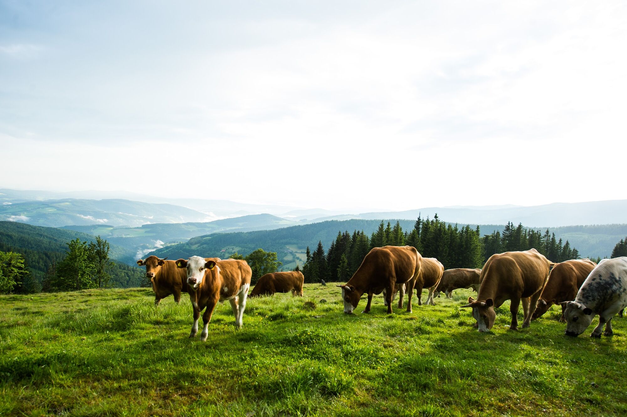
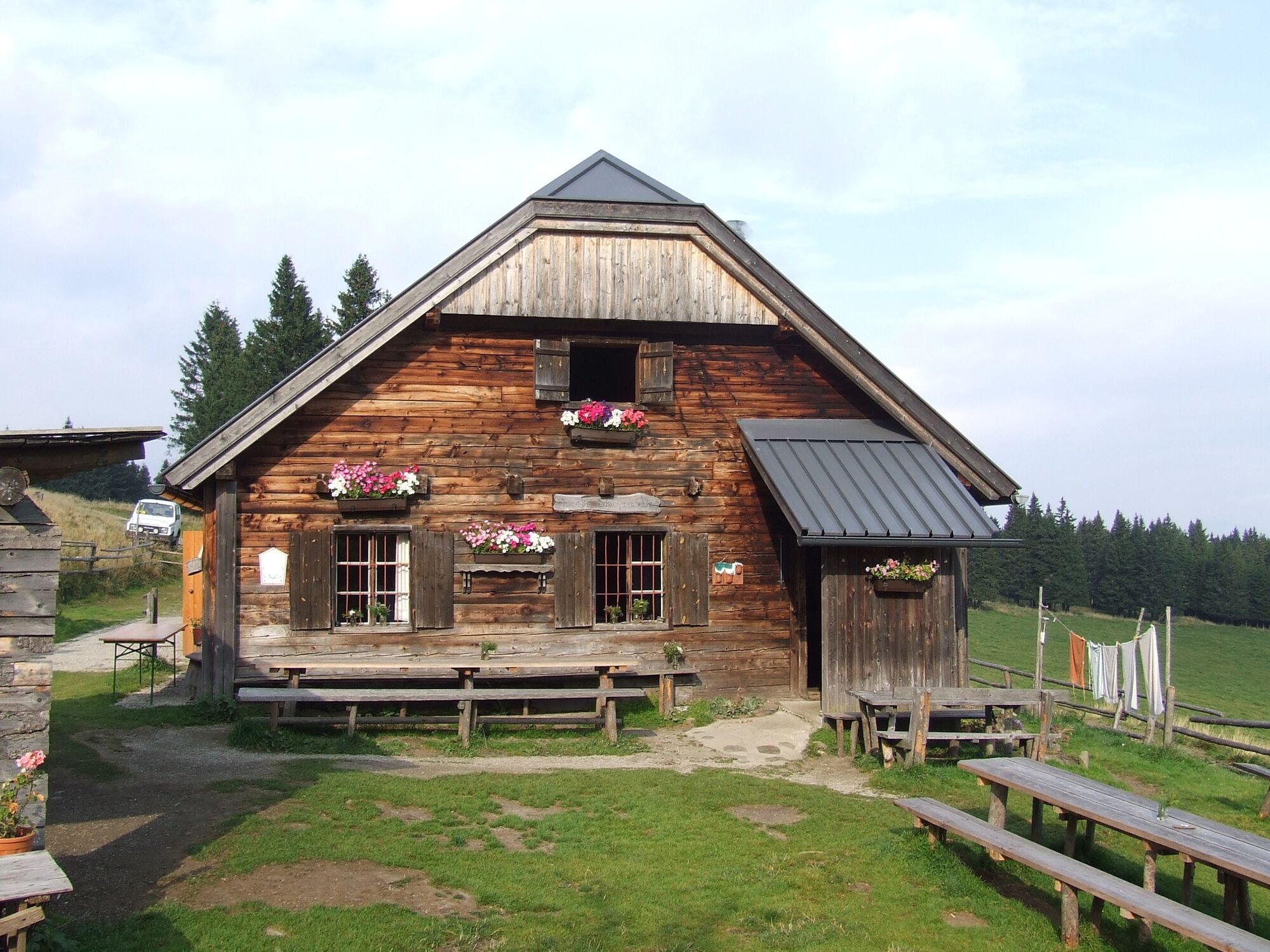
A hike across the Schwaigen on the Wechsel. In the extensive Wechsel landscape there is a specific feature, the so-called "Schwaigen": sprawling alpine pastures with alpine huts. They characterise the landscape and are attractive nature experiences at the same time.
- Difficulty
-
medium
- Rating
-
- Starting point
-
Steyersberger Schwaig
- Route
-
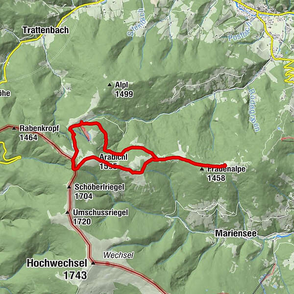
Schwarzer Herrgot8.9 kmFeistritzer Schwaig (1,438 m)9.7 kmArabichl (1,595 m)11.4 kmDreiländereck12.3 kmKranichberger Schwaig12.7 km
- Best season
-
JanFebMarAprMayJunJulAugSepOctNovDec
- Description
-
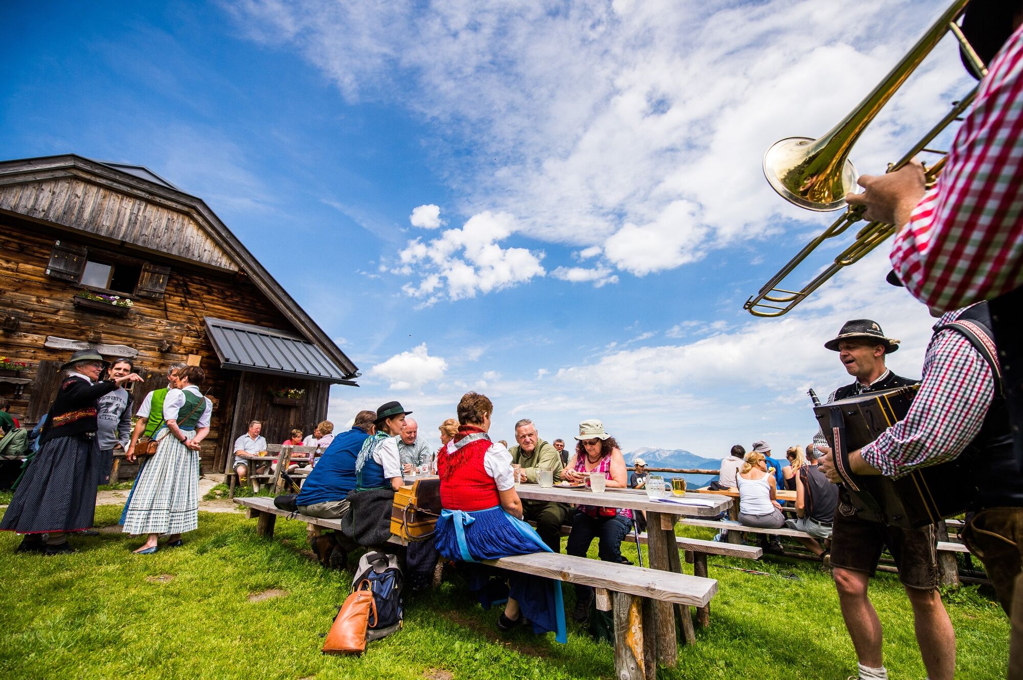
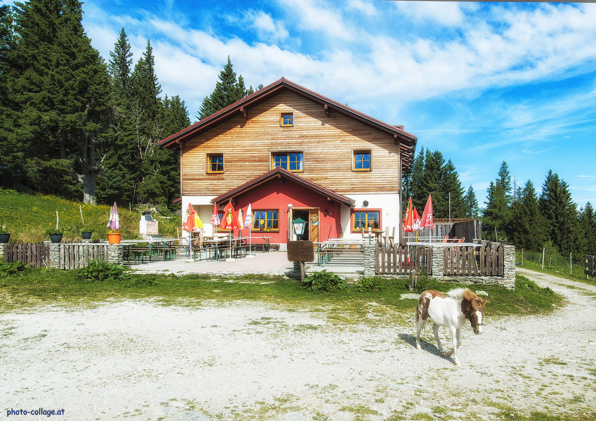
The hike across the idyllic Schwaigen landscape with many special views. From the Steyersberger Schwaig, where guests are spoilt with Kasnocken (cheese dumplings) and Topfenstrudel (curd cheese strudel), the trail leads to the Kampsteiner Schwaig (currently closed!), which is the last hut before the summit cross on the Kampstein. On the way to the convivial Feistritzer Schwaig, a grandiose view awaits at the Schwarzer Herrgott. The Kranichberger Schwaig also invites you to take a break, for example with an organic "Brettljause". An enjoyable nature experience gently uphill and downhill through the extensive Wechsell landscape.
- Directions
-
We start the hike from the Steyersberger Schwaig and follow the hiking trail. After just under two kilometres, we continue to the right at the fork in the trail. After about two more kilometres, we have the option of turning left and making a detour to the Kampsteiner Schwaig (currently closed!). To do this, we go straight along the path and then back again. Otherwise, we turn right and come to the Schwarzer Hergott. Here we enjoy the view. Then we turn left and walk up to the Feistritzer Schwaig. Then we turn right and follow the hiking trail over the Arabichl. We reach the highest point of the tour and are rewarded with magnificent views. We stay on the left side of the path. After about one kilometre, the hiking trail comes to a right-hand bend. After about 500 metres we reach the Kranichberger Schwaig. We continue along the hiking trail and come back down to the starting point of the hike, the Steyersberger Schwaig.
- Highest point
- 1,588 m
- Endpoint
-
Steyersberger Schwaig
- Height profile
-

- Directions
-
Coming from Vienna, drive along the A2 until you reach the Edlitz exit. Then follow the B54. Turn right onto L134 , Feistritz am Wechsel until Kirchberg. Turn left and then take L4186 . Drive through Molzegg directly to Steyersberger Schwaig.
Coming from Graz, follow the A2 to the Aspang exit. Coming from Graz, take the B72 to Feistritzsattel. Take the L137 to St. Corona am Wechsel. Turn left onto L4186. Drive through Molzegg directly to Steyersberger Schwaig.
- Public transportation
-
The Steyersberger Schwaig is not directly accessible by public transport. To get there, take the train via Wiener Neustadt to Aspang Markt and from there continue by bus to Mönichkirchen. A taxi is recommended for the rest of the way.
For more info, see www.öbb.at and www.vor.at
- Parking
-
Parking available on the Steyersberger Schwaig.
- Author
-
The tour Schwaigen hike at the Wechsel is used by outdooractive.com provided.


General info
-
Wiener Alpen
3036
-
Semmering - Rax
2304
-
Trattenbach - Feistritzsattel
666


