

- Brief description
-
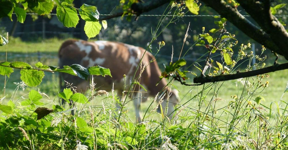
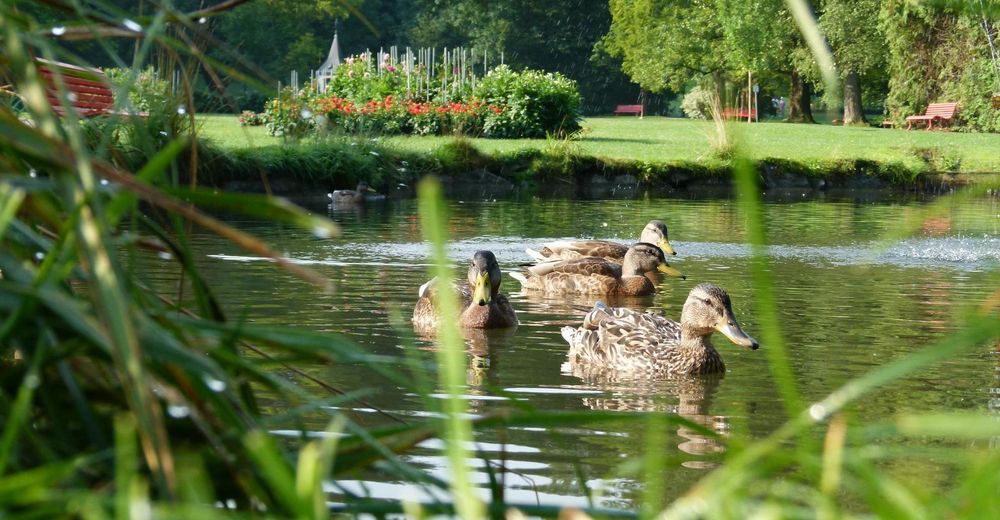
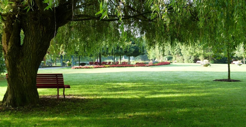
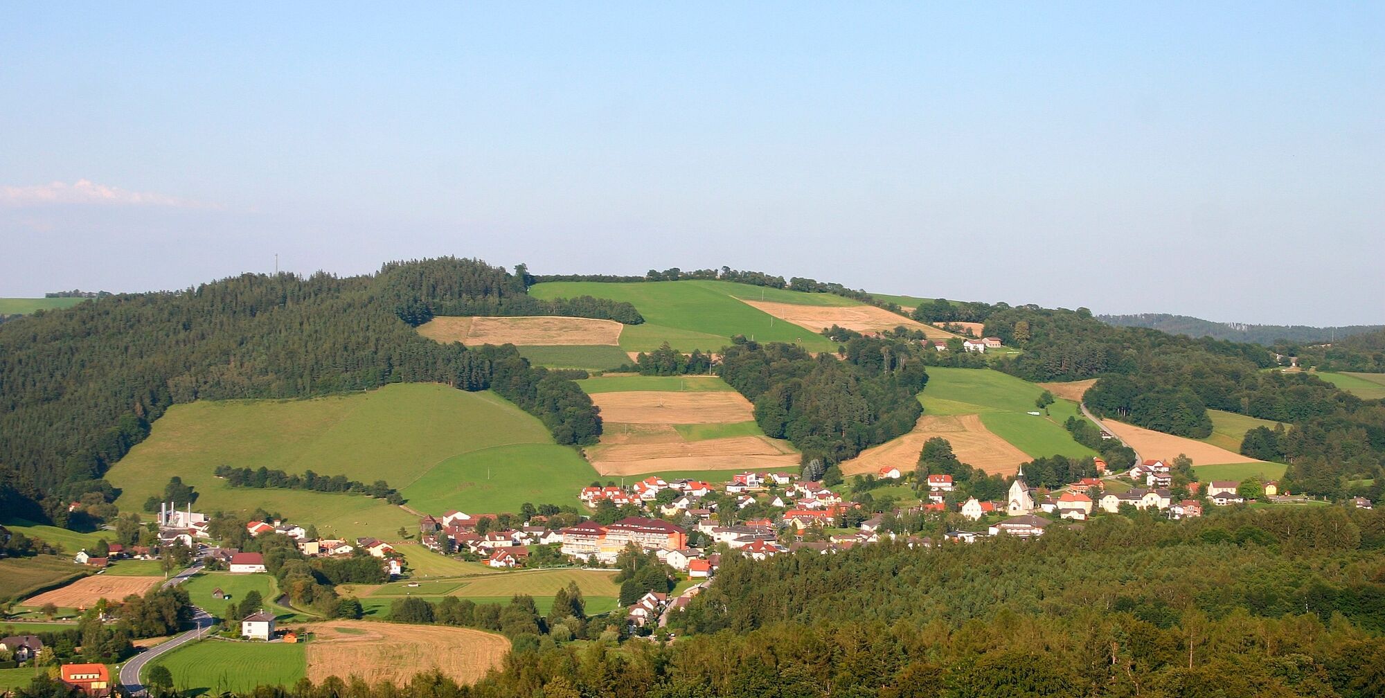
The “Weg der Blicke” (Path of glances) is a circular walk starting from the Bad Schönau spa gardens, with beautiful views of the town and the surrounding landscape.
- Difficulty
-
easy
- Rating
-
- Starting point
-
Kurpark Bad Schönau
- Route
-
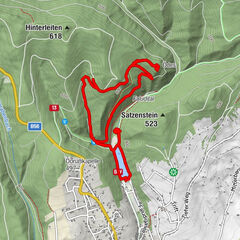
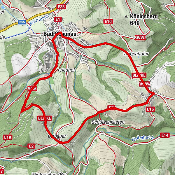
Bad SchönauKapelle3.8 kmMaierhöfen3.9 kmMarienkirche5.7 kmBad Schönau5.7 kmHotel Geier5.8 km
- Best season
-
JanFebMarAprMayJunJulAugSepOctNovDec
- Description
-
“If you don’t have a destination in mind, you can’t get anywhere”. Short texts and quotations by the Lower Austrian writer Ernst Ferstl encourage the hiker to reflect on the “Weg der Blicke”. Several panels allow the hiker to pause along the 100-minute, easy circular trail and take in the landscape and nature.
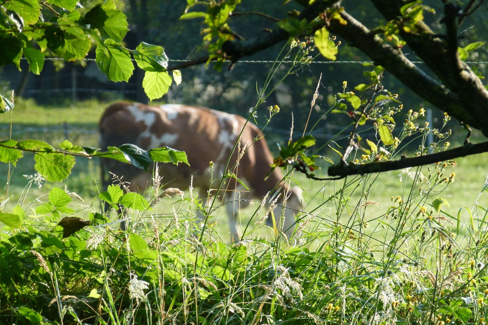
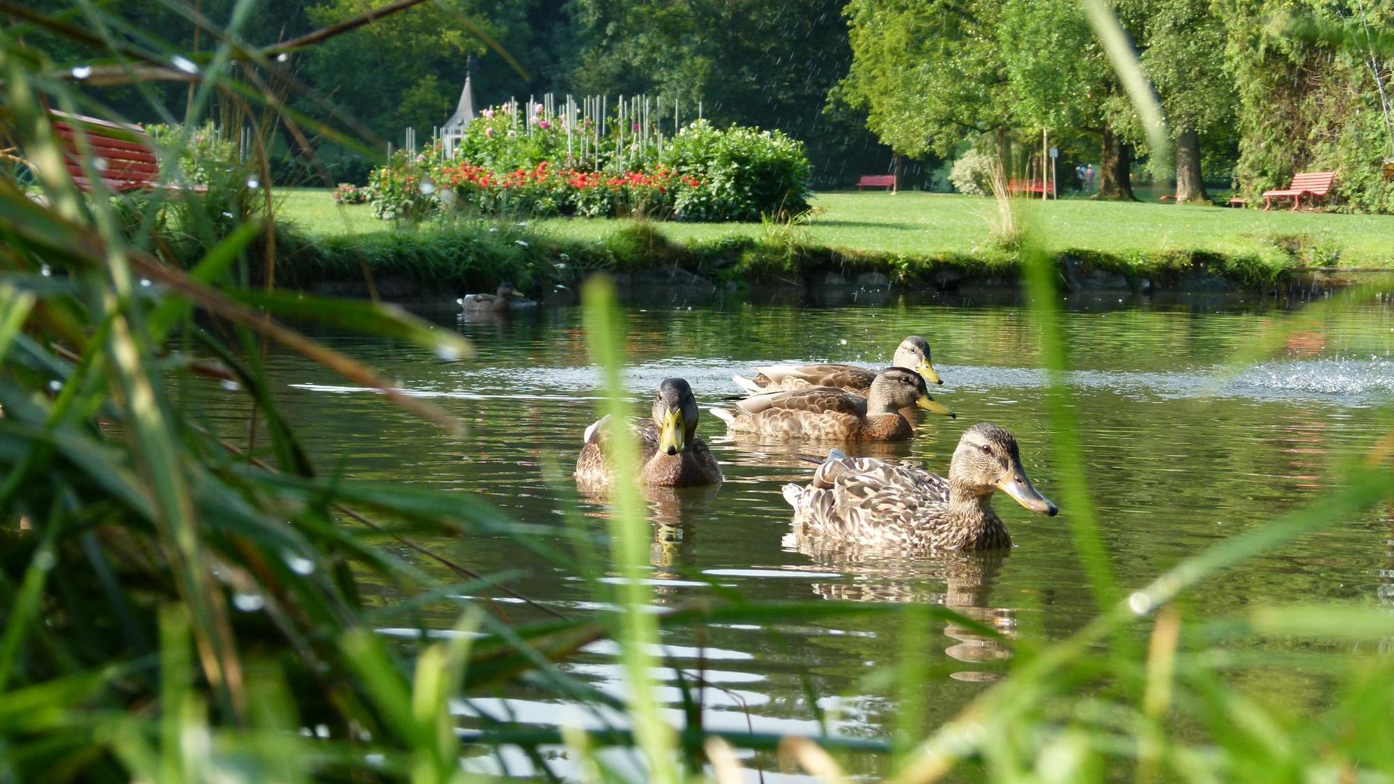
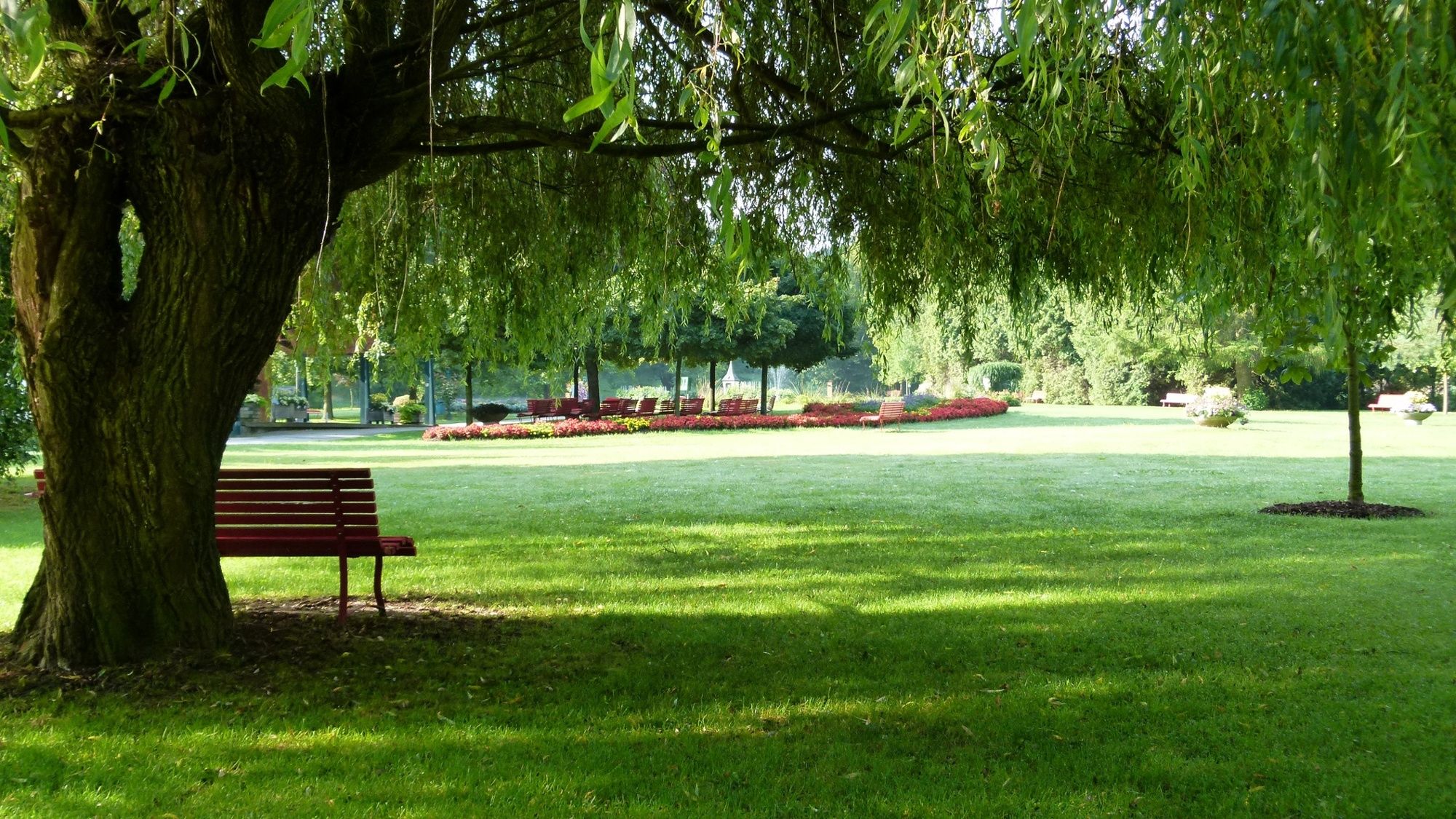
Bad Schönau offers numerous hiking opportunities and a suitable hiking map. The “Weg der Blicke” takes you through the Ortbauer and Maierhöfen districts. After the hike, Bad Schönau offers numerous opportunities for refreshments and overnight stays, as well as relaxation in the spa gardens.
- Directions
-
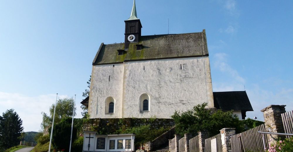
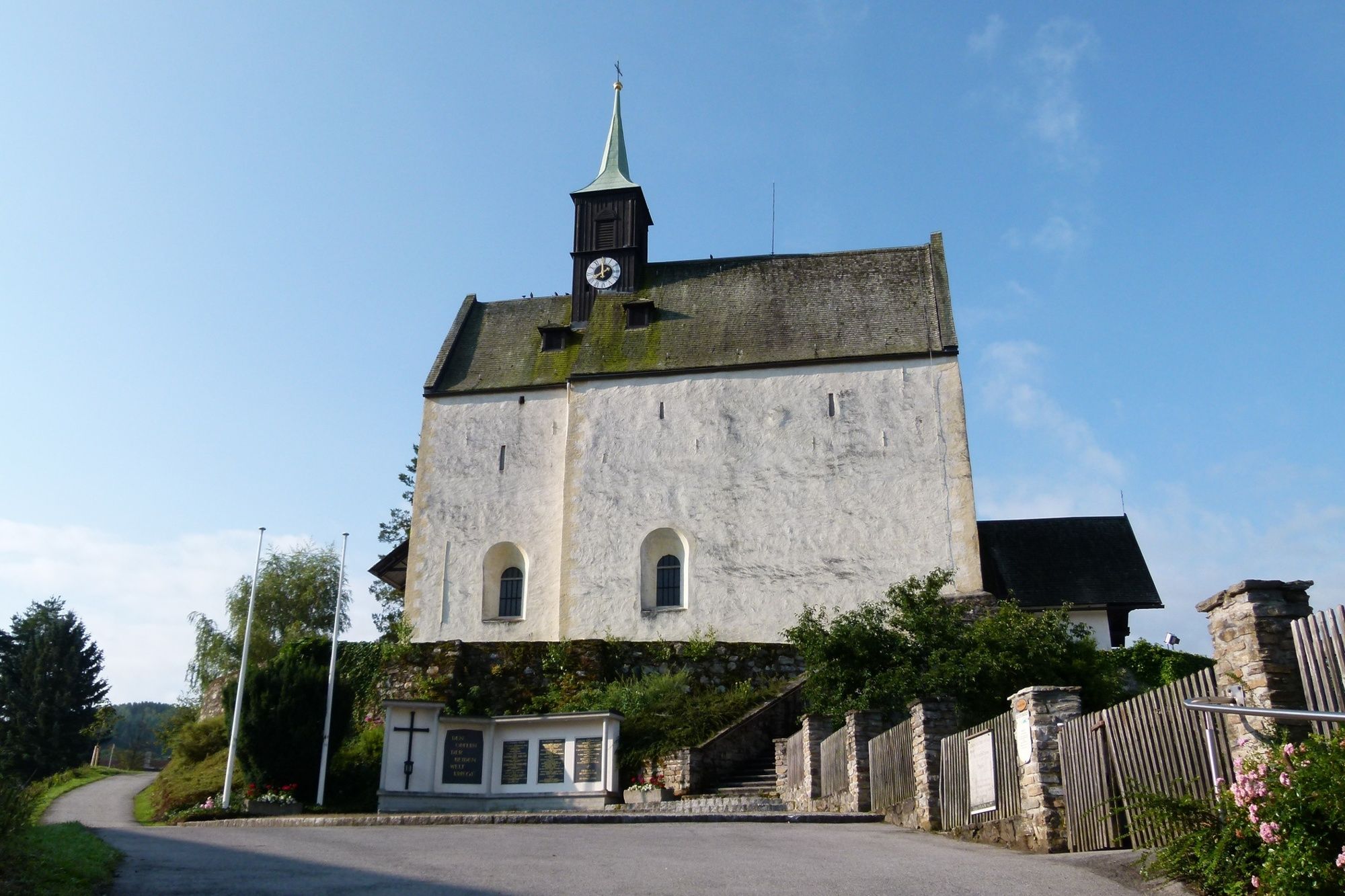
We start from Bad Schönau, along the path in the spa gardens on the right. We turn left onto “Wiesenweg”, along the Erlenbach stream past the Rosalien chapel onto the blue-marked path E7. Next, we turn left onto the yellow-marked trail E2. We follow this via Ortbauer and continue straight ahead. At the junction of paths E4 and E2, continue straight on towards Maierhöfen. In Maierhöfen we turn left and walk along Maierhöfner Straße back to the centre of Bad Schönau.
- Highest point
- 610 m
- Endpoint
-
Kurpark Bad Schönau
- Height profile
-

- Equipment
-
Always take suitable maps with you. Wear sturdy shoes suitable for the tour, take sun and rain protection, as well as water and a snack. Take your mobile phone with you and save the emergency number of the mountain rescue: 140
- Safety instructions
-
Your hikes in the Vienna Alps should be a beautiful and safe experience all-round. Therefore, please note the following:
Preparation
When choosing a route, make sure it suits your mountain experience and physical condition. Check the weather forecast in advance. The weather can change surprisingly quickly in the mountains. Therefore, always go equipped accordingly (e.g. rain protection).
Check whether the huts and snack stations you want to visit on the way are open. Inform someone about your choice of route and your planned return before you set off.
- Tips
-
If you want to combine your hike with a stay in Bad Schönau, the Hotel Weber or the Gesundheitsresort Königsberg are the right places for you!
- Additional information
- Directions
-
From Vienna: Südautobahn A2, take the Krumbach exit. At exit 76-Krumbach, travel in the direction of Krumbach/Hungary and continue via the Krumbach junction onto the B55. In Bad Schönau, turn right onto the main road, follow this straight ahead until you reach Gasthof Koder.
From Graz: Südautobahn A2, take the exit Aspang-Zöbern. Turn right onto L137. Follow the course of the road. Turn right onto Kirchschlager Str./B55. In Bad Schönau, turn right onto the main road, follow this straight ahead until you reach Gasthof Koder.
- Public transportation
-
From Wr. Neustadt main station, take the regional train (direction Aspang) to the stop Edlitz-Grimmenstein. From here, take the bus (direction Kirchschlag in der Buckligen Welt Postamt) to the bus stop Bad Schönau B55/ Abzweigung Ort.
Daily bus connection of the company BLAGUSS NÖ from Vienna, Südtiroler Platz to Bad Schönau.
More information at www.oebb.at and www.vor.at
Guest pick-up service from Vienna and the railway stations: Reisedienst Schwarz: 02646/8386
- Parking
-
There are plenty of parking spaces available around the spa park.

- Author
-
The tour “Weg der Blicke” (path of glances) – Bad Schönau is used by outdooractive.com provided.


General info
-
Wiener Alpen
3048
-
Bucklige Welt - Wiener Alpen
792
-
Bad Schönau
188