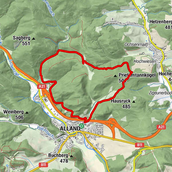
Murphys Runde - Alland

Logo Murphys Runde - Alland
Tour data
9.5km
344 - 473m
Distance
297hm
297hm
Ascent
02:30h
 
Duration
Difficulty
easy
Rating
Technique
Fitness
Landscape
Experience
Route
Alland
0.0 km
Alland
8.7 km
Highest point
473 m

Overall rating

5

0

%

4

0

%

3

0

%

2

0

%

1

0

%

Error
An error has occurred. Please try again.
Thank you for your review

Rating has been deleted

GPS Downloads
  • GPX GPS Exchange Format (XML)
  • KML Google Earth, Google Maps
QR Download Codes for Mobile Phones

Trail conditions

Asphalt
Gravel
Meadow
Forest
Rock
Exposed
Other tours in the regions

Popular tours in the area

Wienerwald: Einmal Hoher Lindkogel und zurück

easy Hiking
3.95km | 554hm | 04:30h

Auf den höchsten Berg des Wienerwaldes, Schöpfl 893m

medium Hiking
7.21km | 356hm | 02:30h