© Wiener Alpen in Niederösterreich - Wechsel - Wiener Alpen / Kremsl
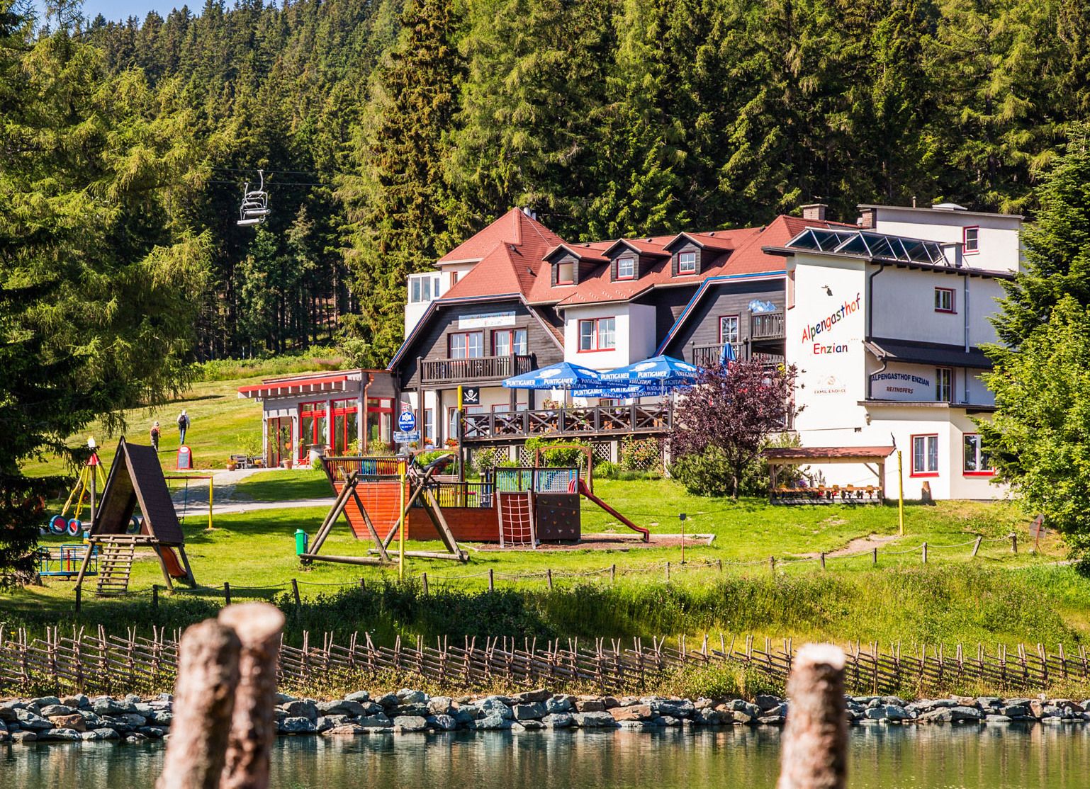
© Alpengasthof Enzian, Franz Zwickl - Michaela Dorfstätter

- Brief description
-
Die Tour für Gipfelstürmer! Auf der Hochwechsel-Tour wandert man von Mönichkirchen über Hütten, Schwaigen und durch besondere Landschaften auf 1732 Höhenmeter.
- Difficulty
-
difficult
- Rating
-
- Route
-
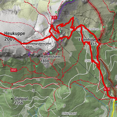
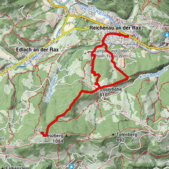
MönichkirchenVorauer Schwaig6.7 kmWetterkoglerhaus11.0 kmHochwechsel (1,743 m)11.0 kmNiederwechsel (1,669 m)14.3 kmSteinerne Stiege (1,505 m)16.6 kmStoa Alm17.3 kmHallerhaus17.9 kmBerggasthof Mönichkirchner Schwaig19.1 kmSchauquellfassung20.4 kmMönichkirchen21.3 km
- Best season
-
JanFebMarAprMayJunJulAugSepOctNovDec
- Highest point
- 1,733 m
- Endpoint
-
Hochwechsel
- Height profile
-

- Author
-
The tour Hochwechsel Tour is used by outdooractive.com provided.
GPS Downloads


General info
Refreshment stop
A lot of view
Other tours in the regions
-
Wiener Alpen
3048
-
Wechselland - Wiener Alpen
1704
-
Aspangberg - St. Peter
435
")

")