Buschandlwand - from Wösendorf in the Wachau to Spitz on the Danube


- Brief description
-
From Spitz an der Donau by bus to Wösendorf. Continue on foot on the access path to the World Heritage Trail in the direction of Buschandlwand. Magnificent view from the Gruberwarte. Descent to Spitz.
- Difficulty
-
medium
- Rating
-
- Starting point
-
Spitz on the Danube, bus stop at the taxi ferry to Arnsdorf
- Route
-
SpitzSpitz a.d. Donau0.1 kmMarterlhöhle0.9 kmMitterarnsdorf1.4 kmSankt Michael1.8 kmWehrkirche St. Michael1.8 kmBacharnsdorf2.1 kmWösendorf in der Wachau3.8 kmBuschandlwand (741 m)8.7 kmSpitz14.8 km
- Best season
-
JanFebMarAprMayJunJulAugSepOctNovDec
- Description
-
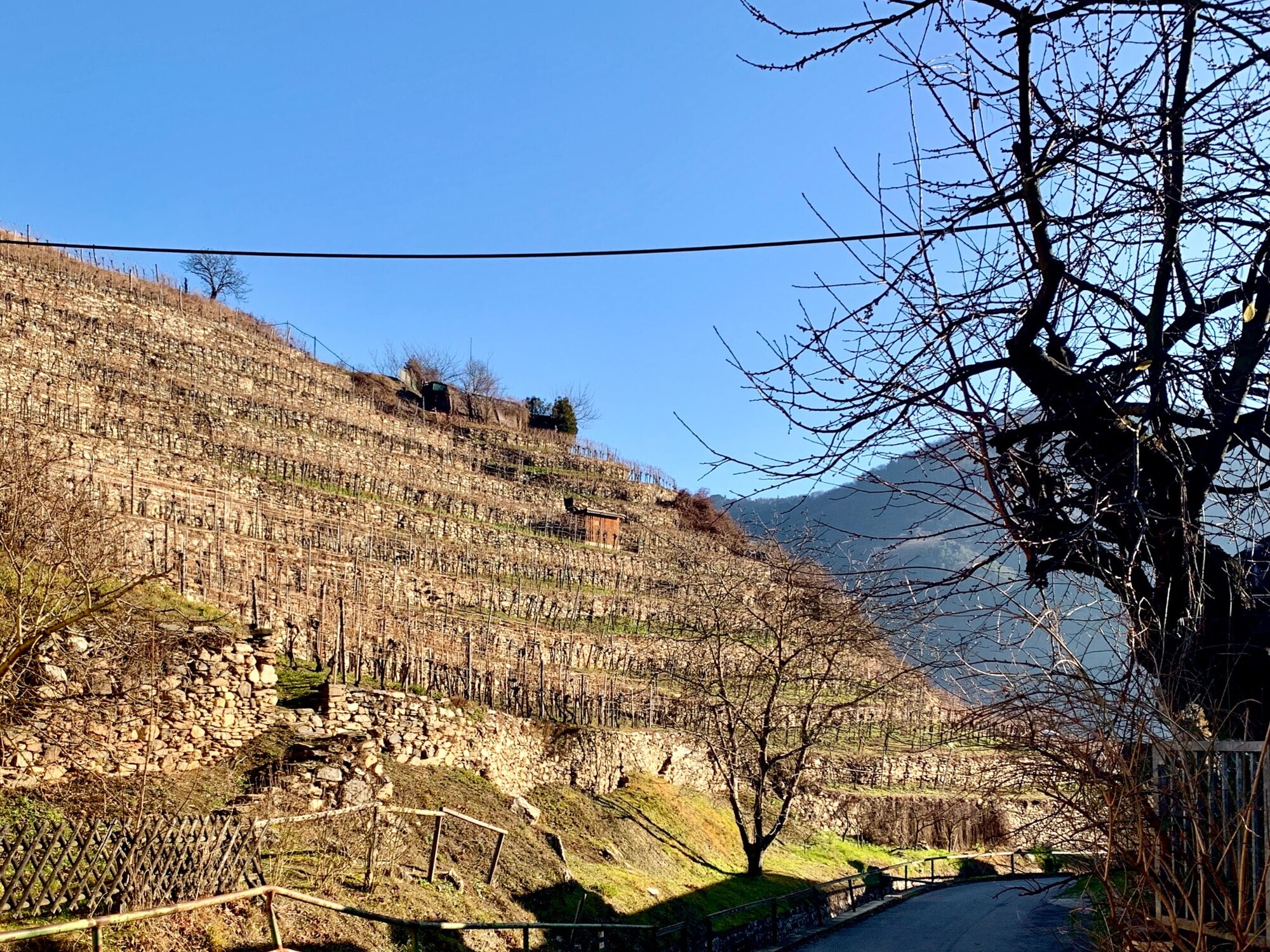
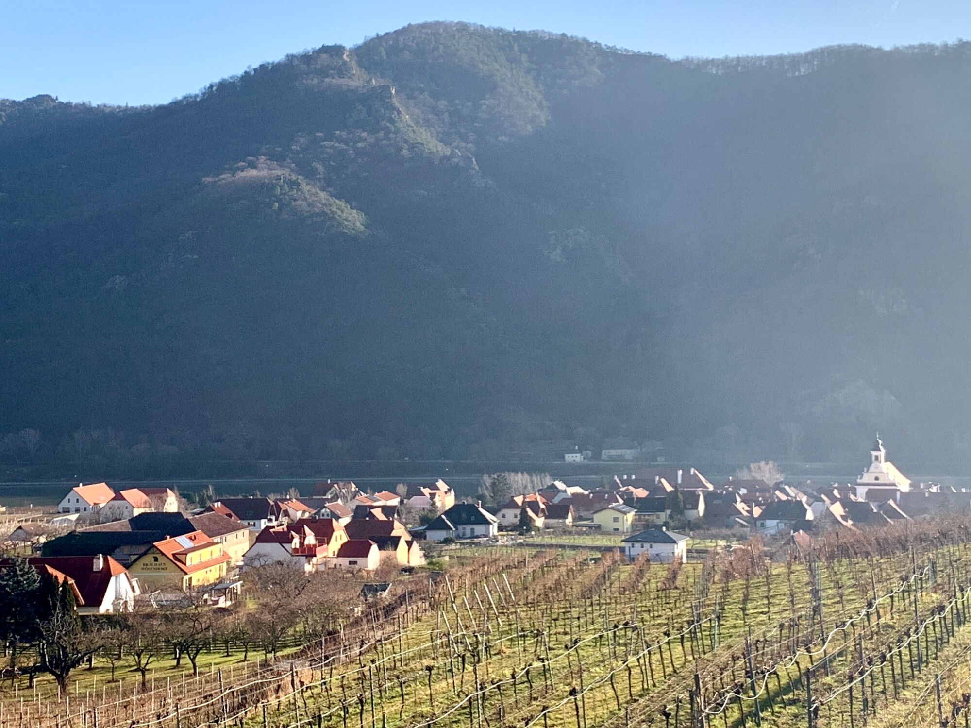
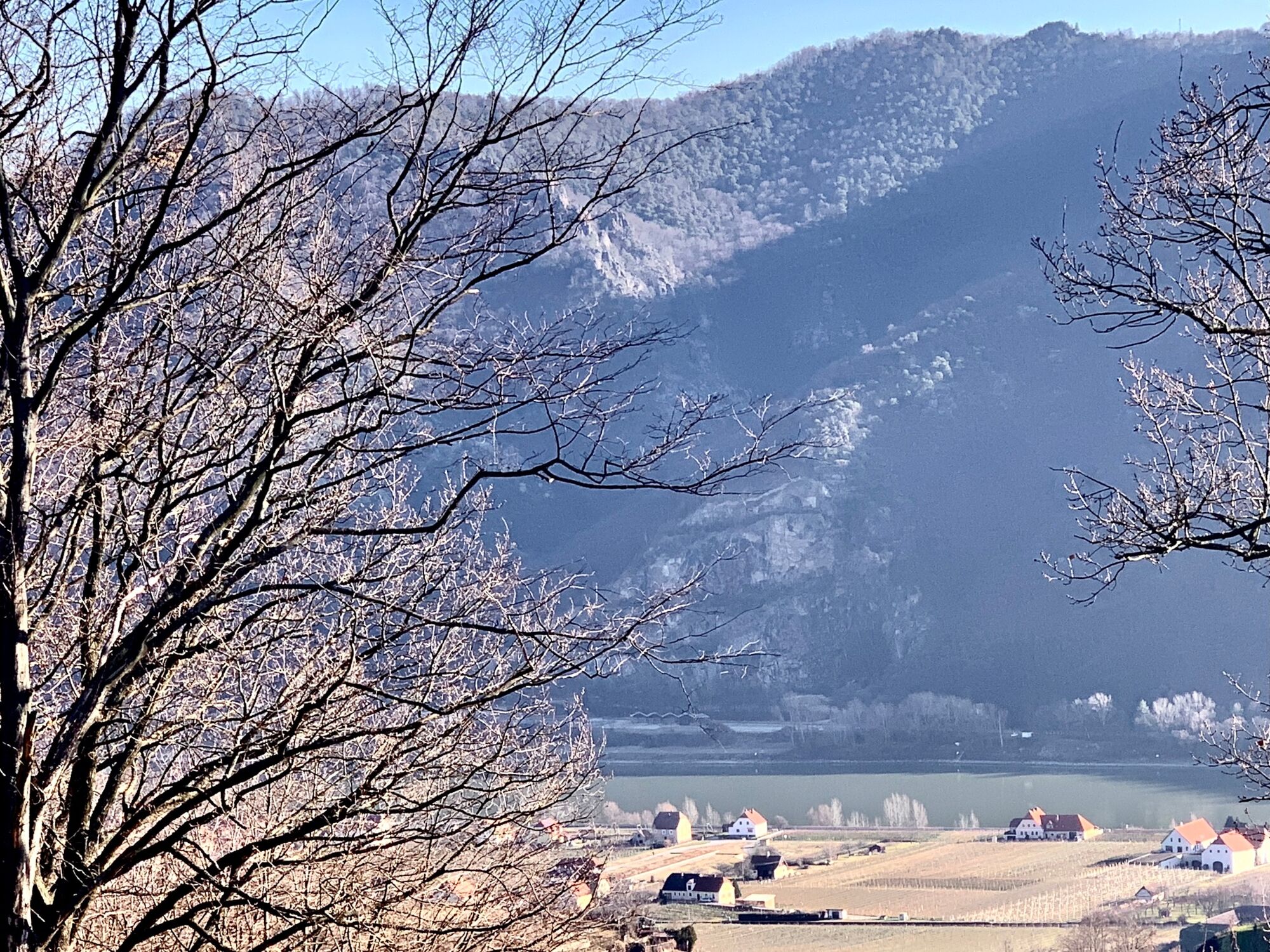
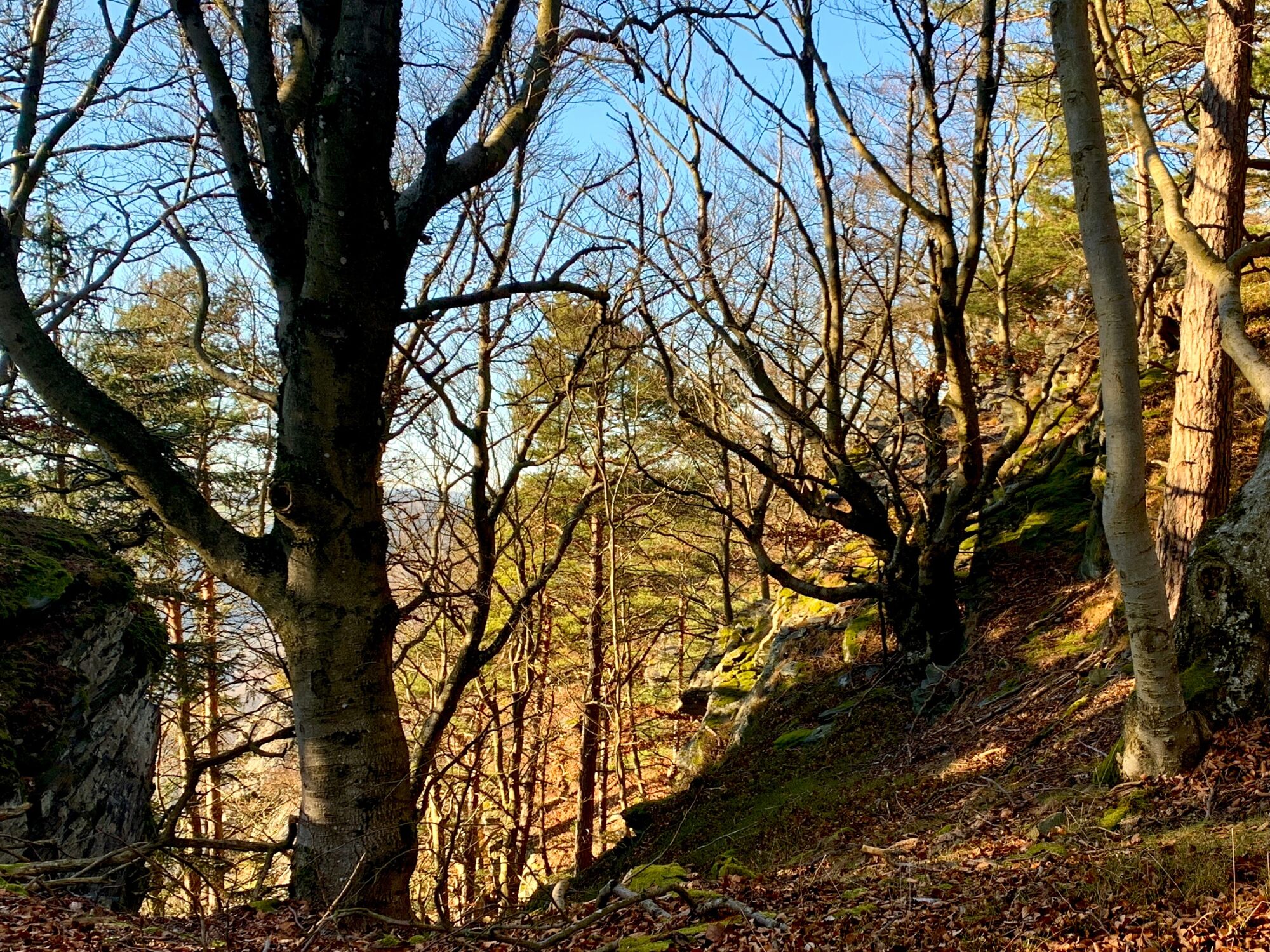
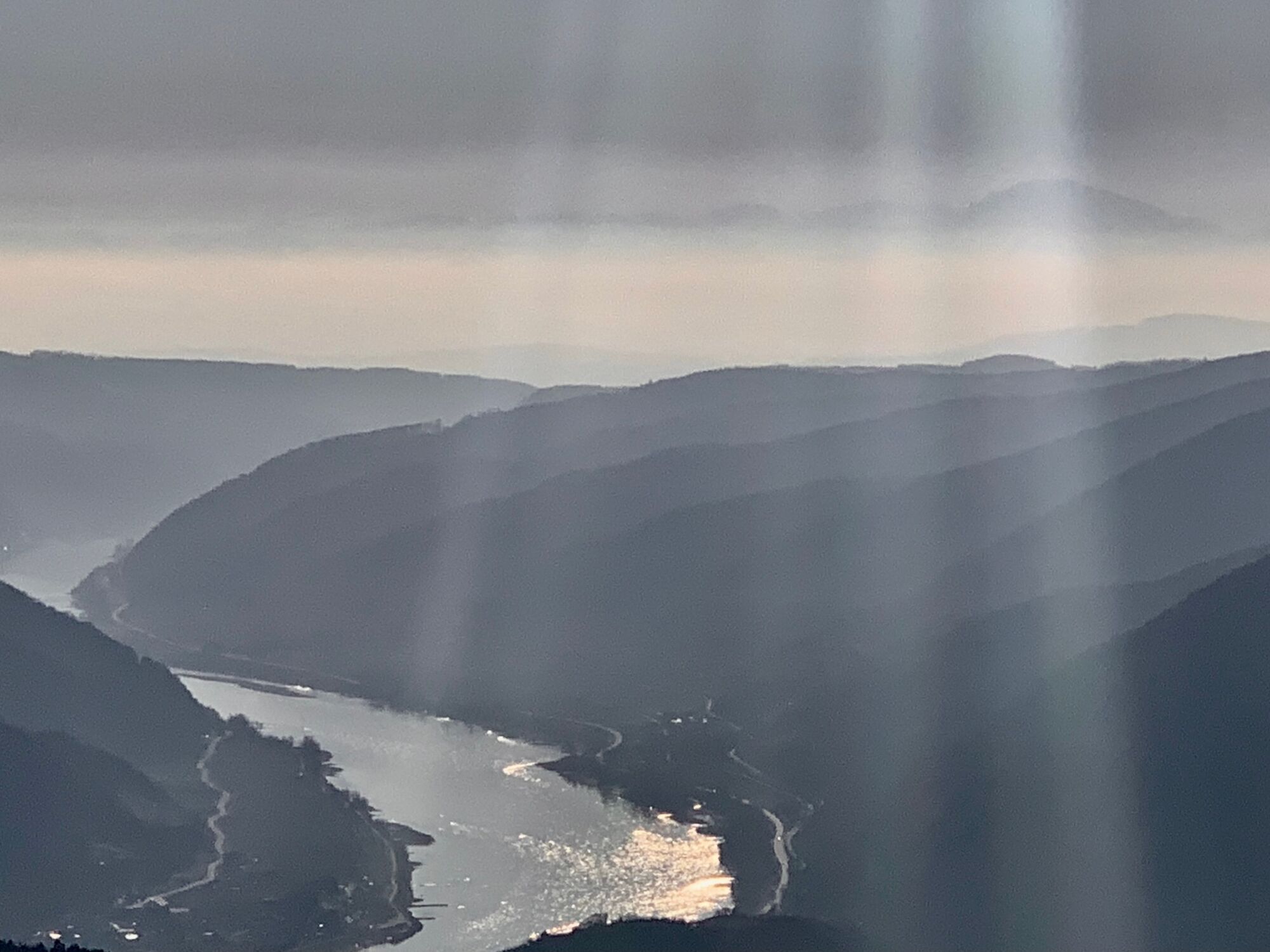
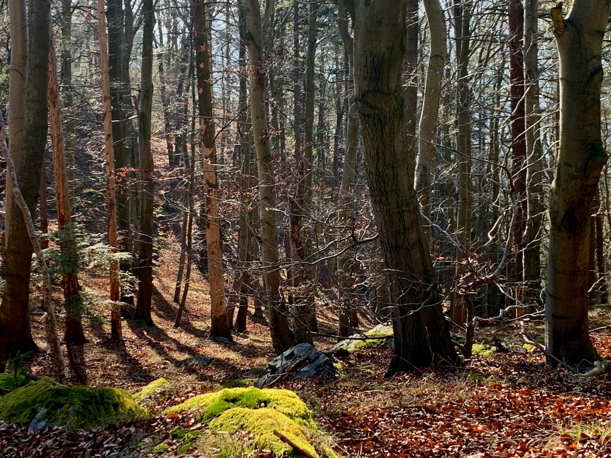
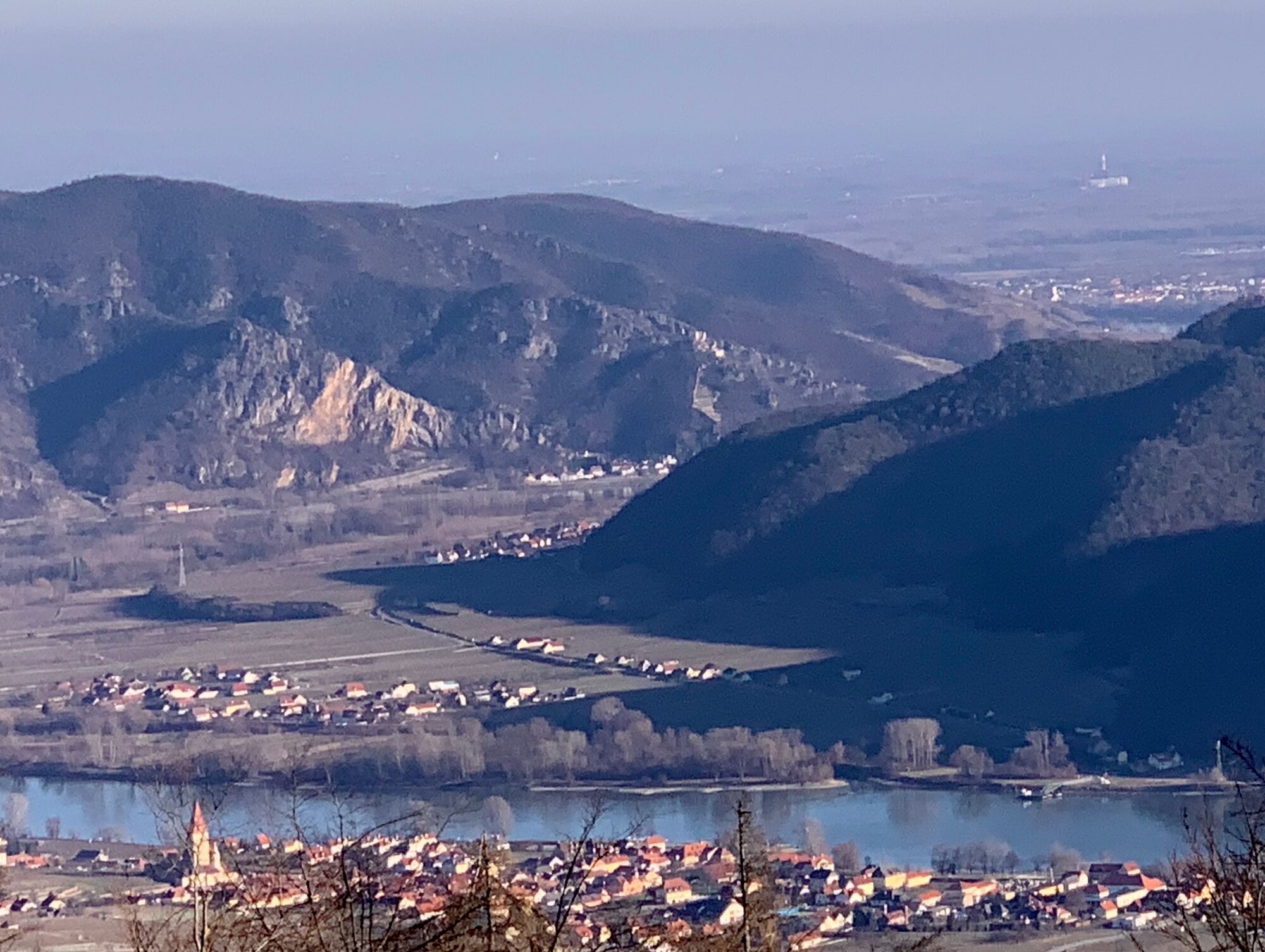
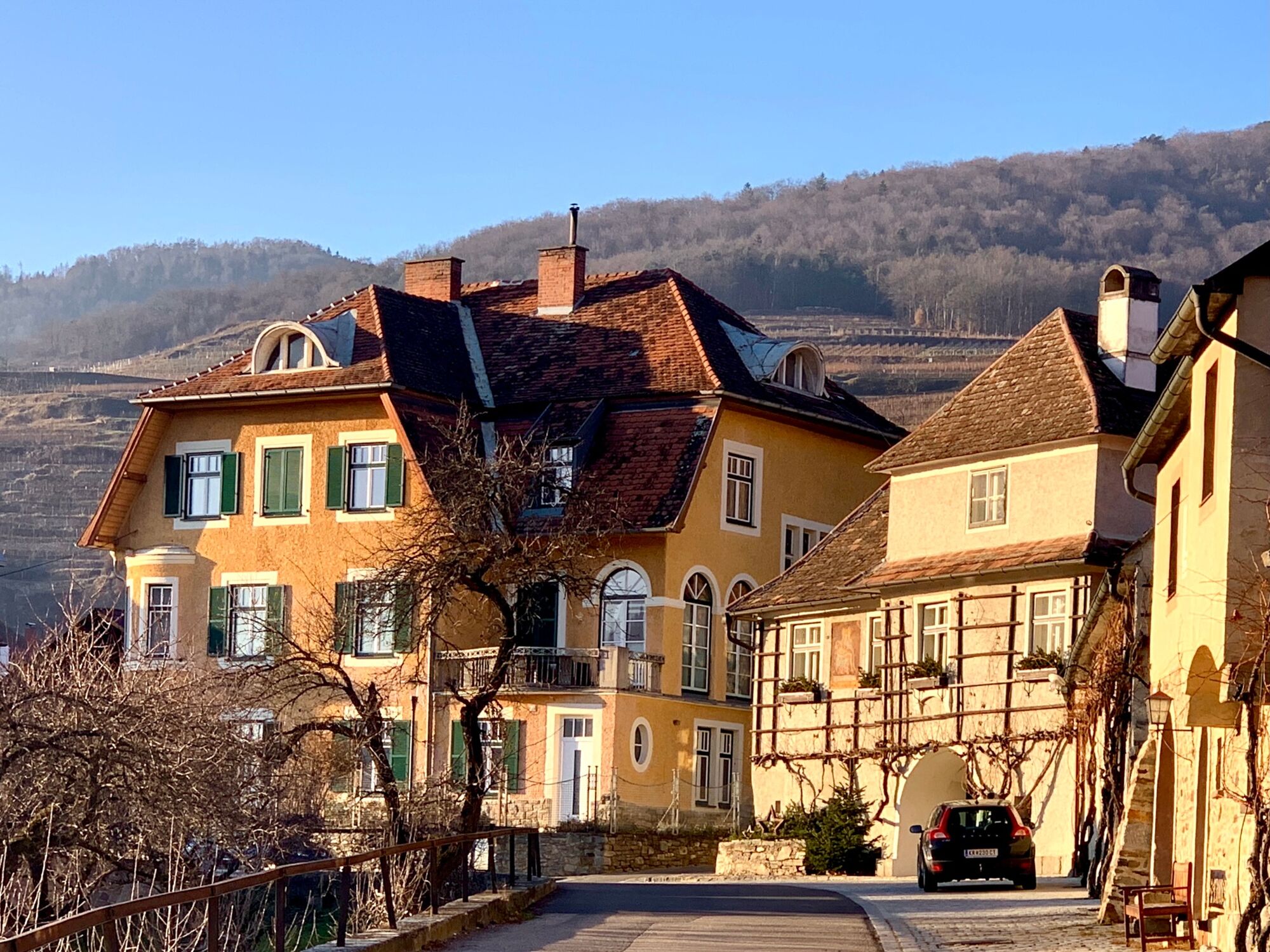
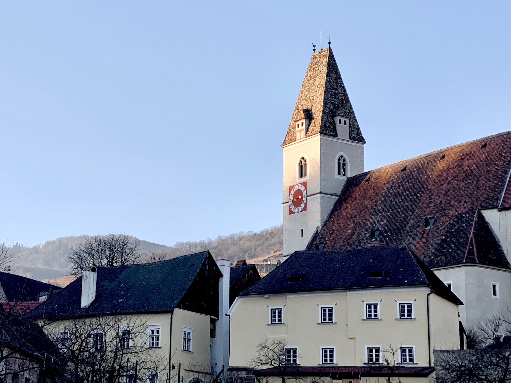
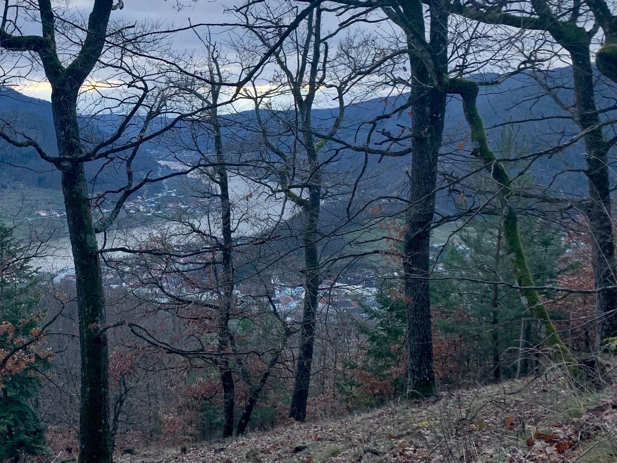
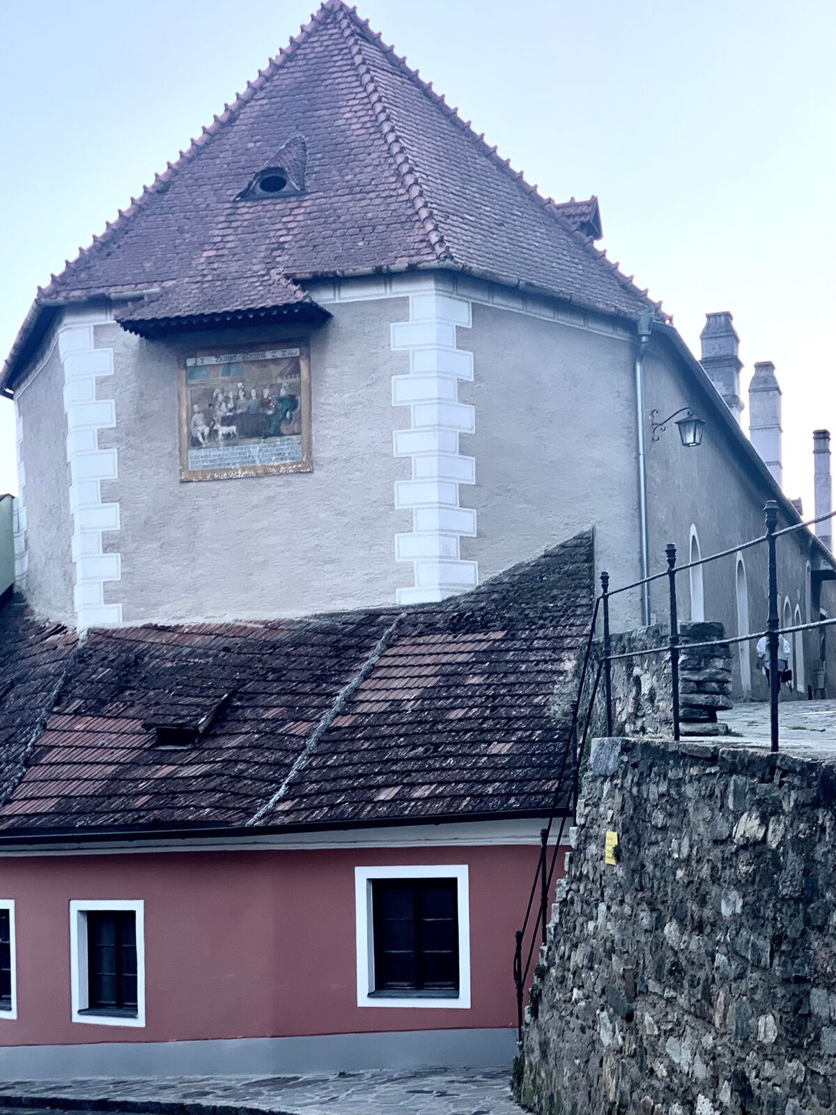
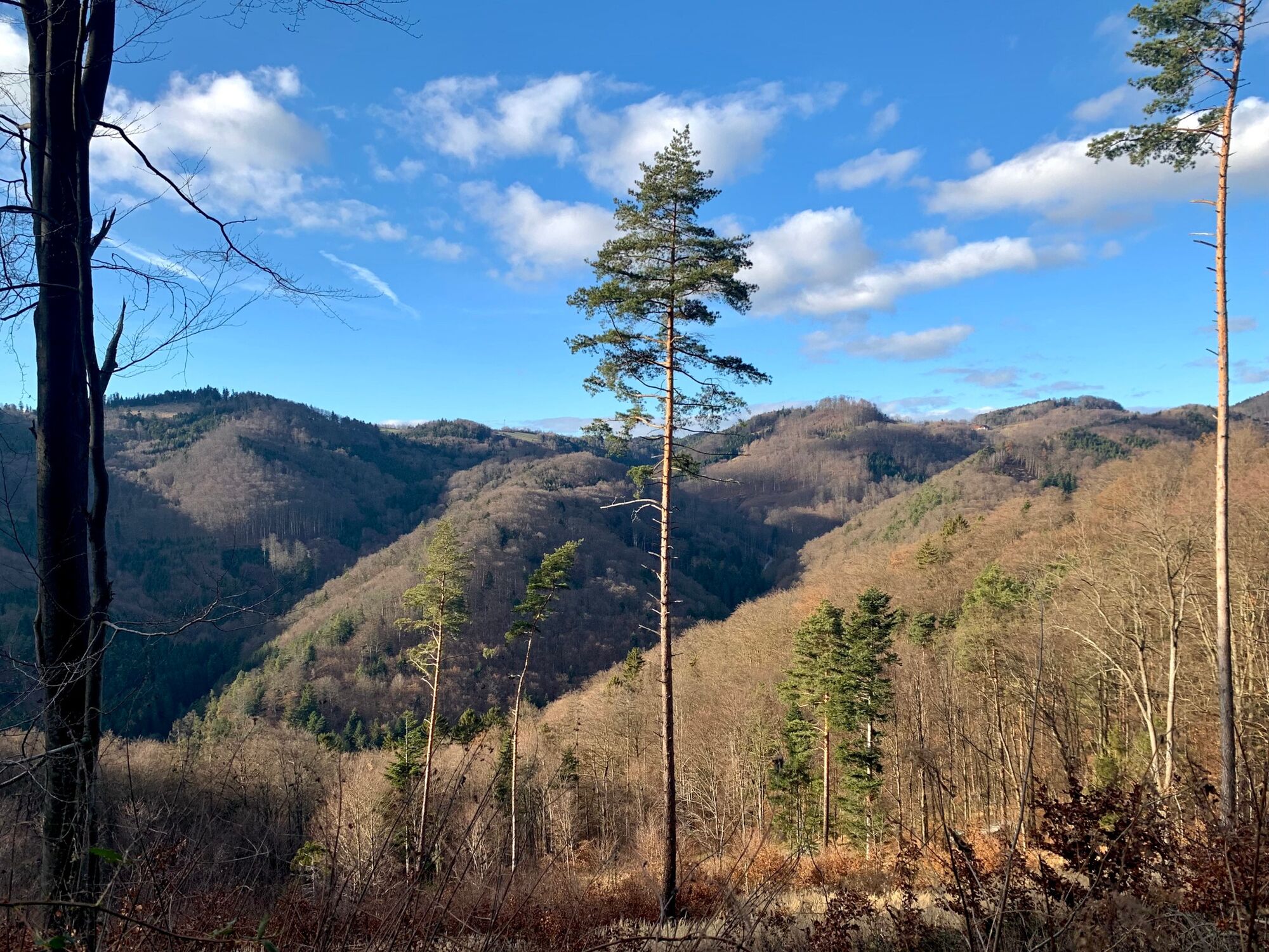
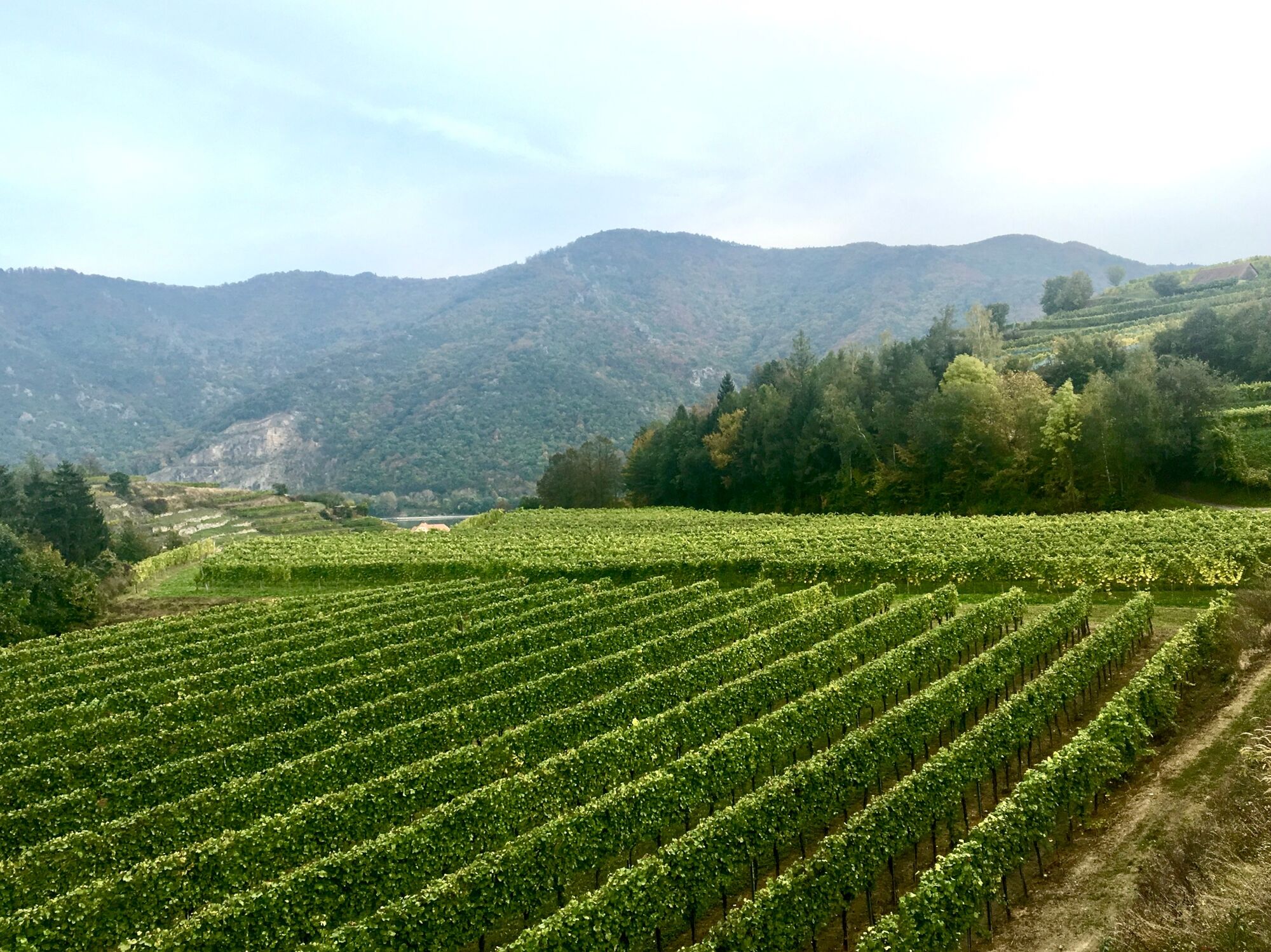
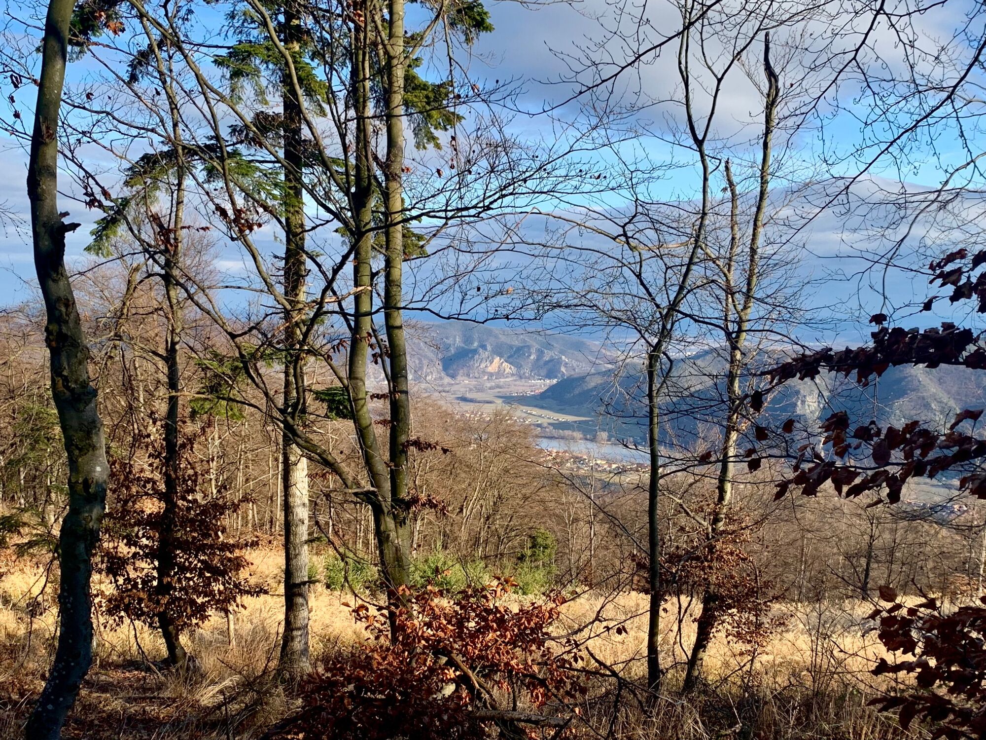
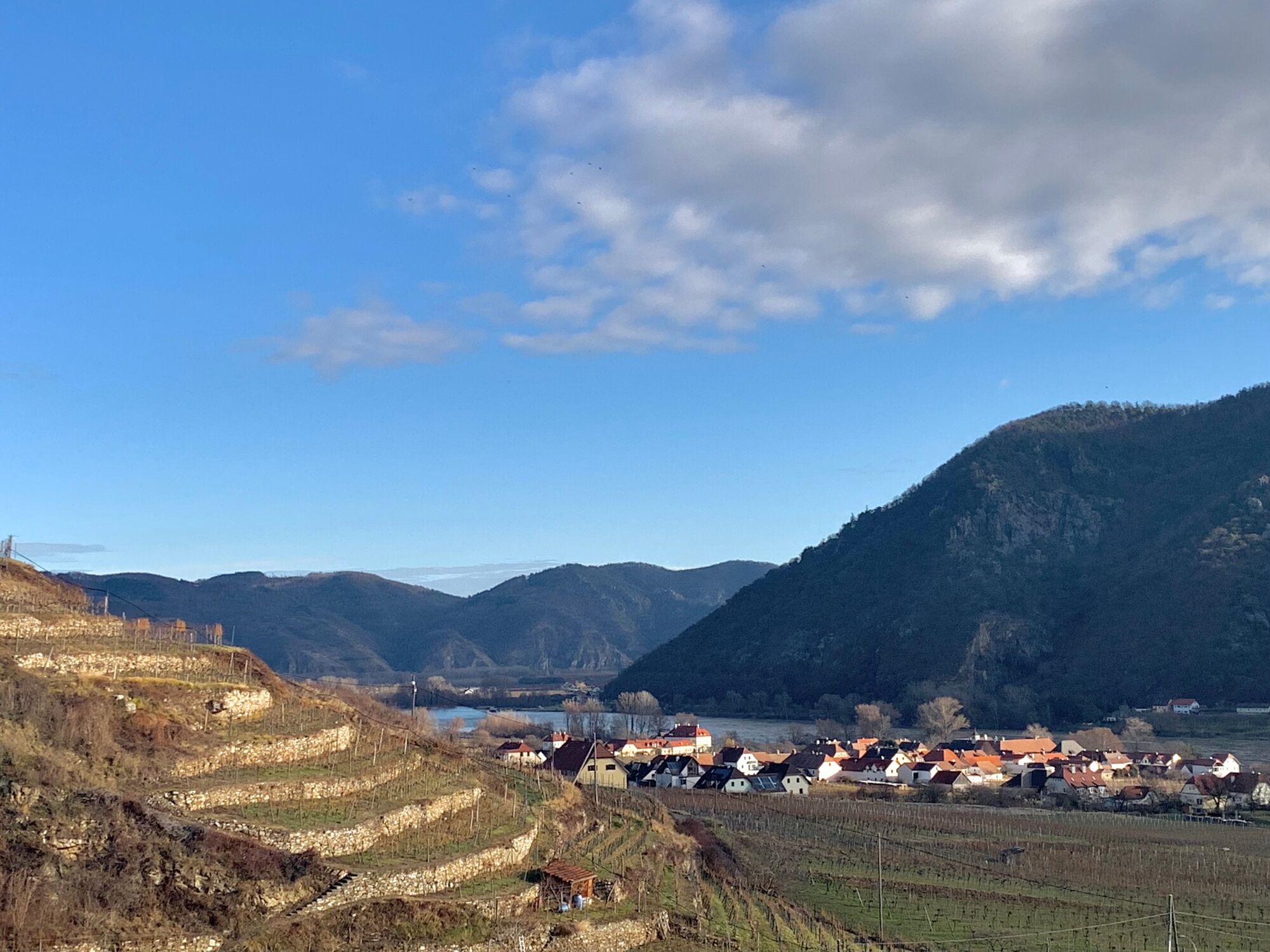
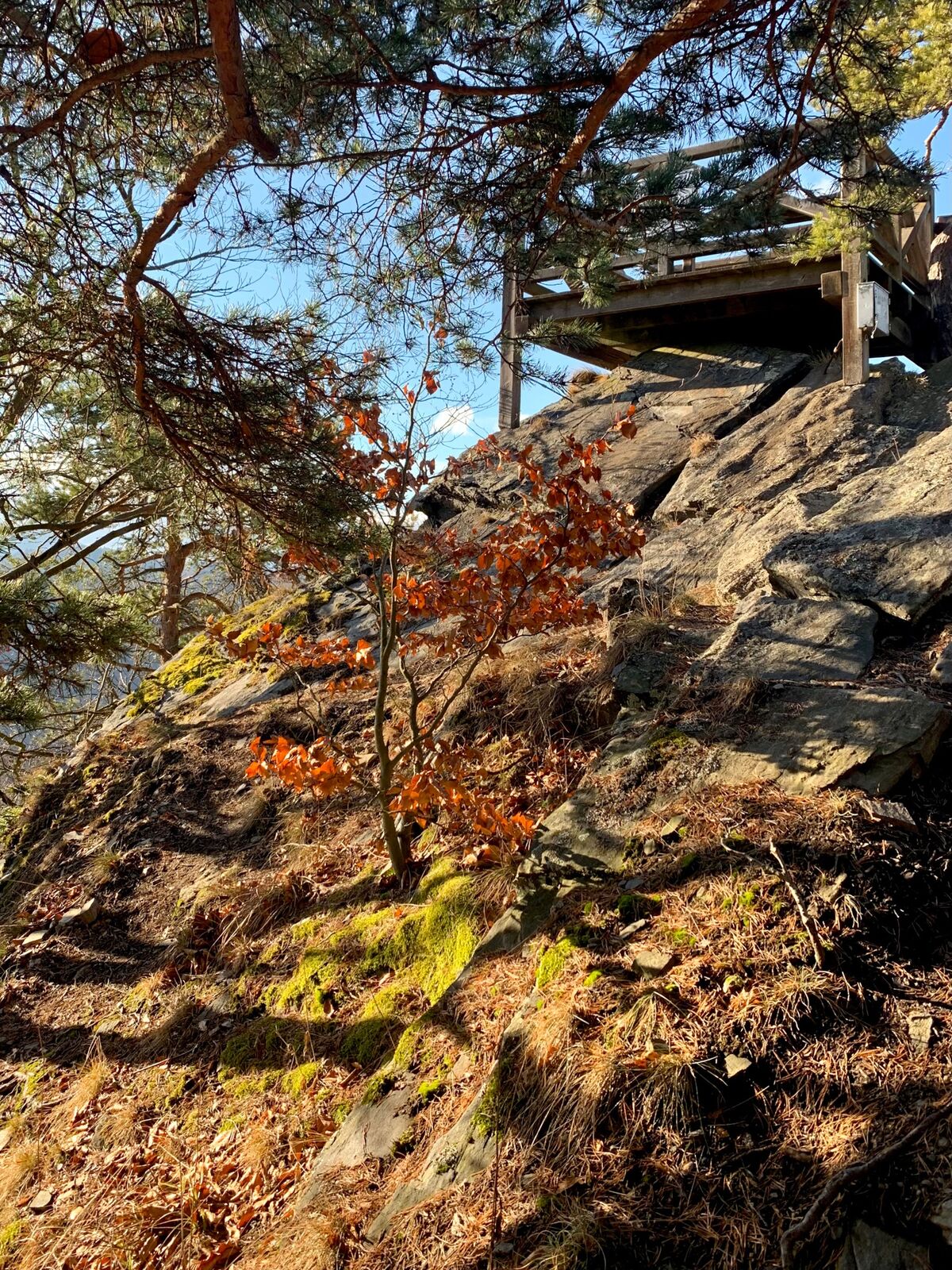
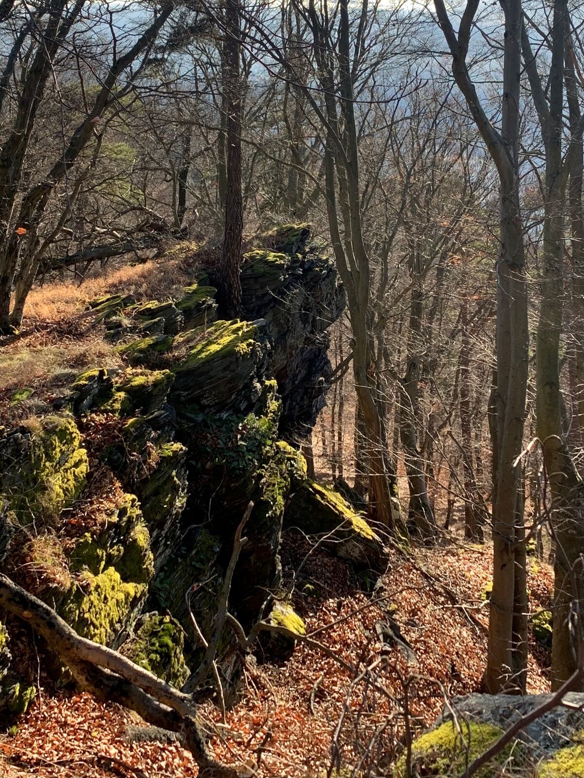
From Spitz on the Danube by bus 715 to Wösendorf. Continue on foot on the so-called access path to the World Heritage Trail past the Brauhaus Wösendorf in the direction of Geißberg at 330 meters above sea level. From there it goes a bit along the World Heritage Trail until the junction to the Buschandlwand comes to the right. On the ascent through the forest there are always spots with a beautiful view of the Wachau. When you arrive at the Gruberwarte on the Buschandlwand, you forget any exertion - the view of the Danube and the Waldviertel is overwhelming. After a rest, the descent to Spitz follows along the ridge of the Buschandlwand on a beautiful hiking trail, which is more of a hiking trail at the beginning. After about two thirds of the way you come across the wide path that leads from St. Michael to Spitz. When you arrive in the valley, hike out on a small road along the Mieslingbach. At the end of the valley you will pass the Filmhotel Mariandl on the left. From there it goes on to the center of Spitz.
- Directions
-
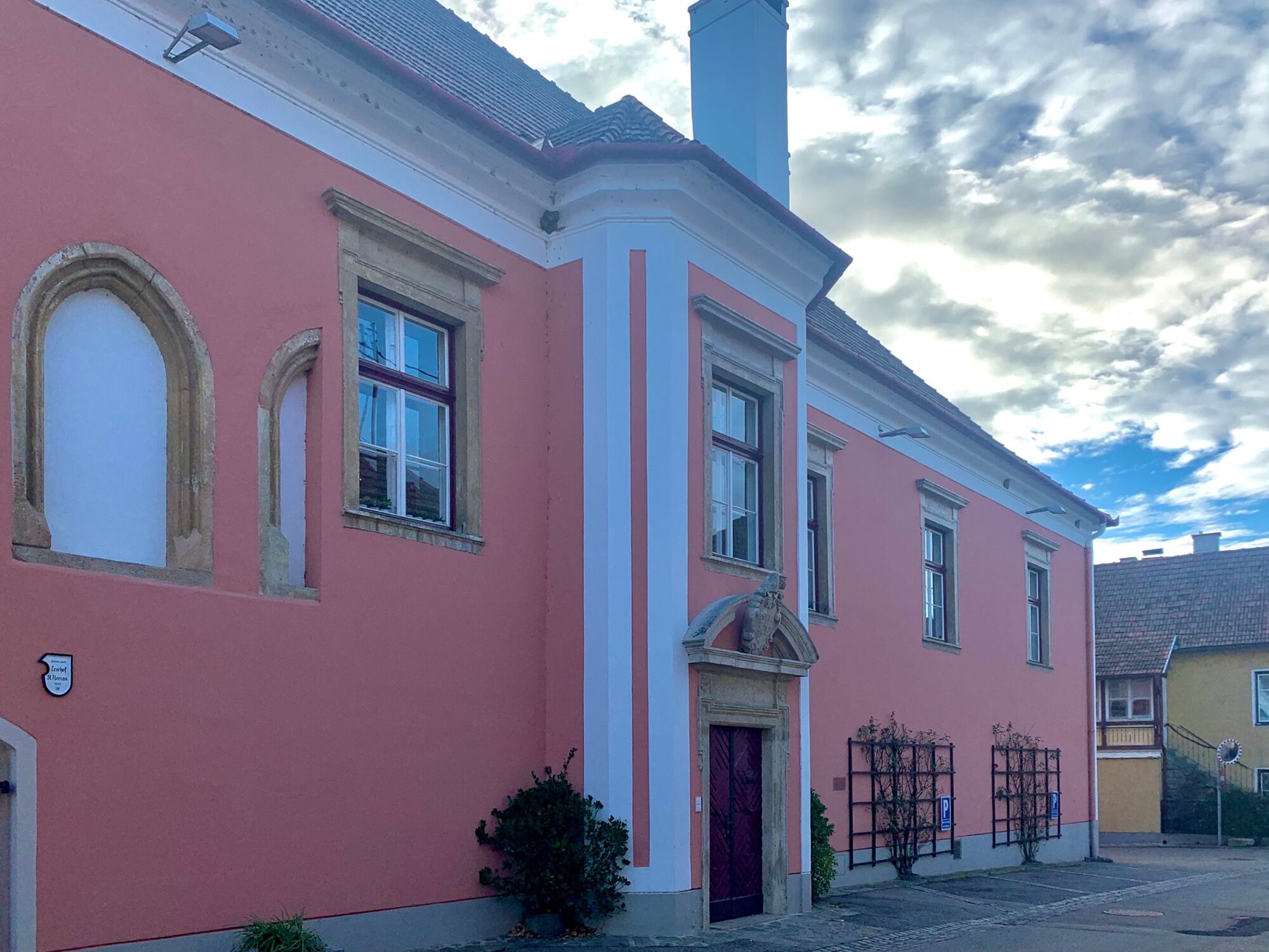
From the bus stop in Wösendorf / Wachau Florianihof, turn right towards the Florianihof, which is now called Hofmeisterei Hirtzberger. After the Florianihof, turn right into Bachlgasse, which leads through the village and becomes Kellergasse after the railway crossing.
You hike this further uphill, past the Wösendorf brewery to the height of the Weidenauer winery.
From there it goes sharply to the left to the Buschandlwand junction. Follow the blue marking. When you arrive at the Buschandlwand, turn left a little further to the Gruberwarte.
From the Gruberwarte you have a very nice view of the Waldviertel, the Seiber and the Danube towards Aggstein.
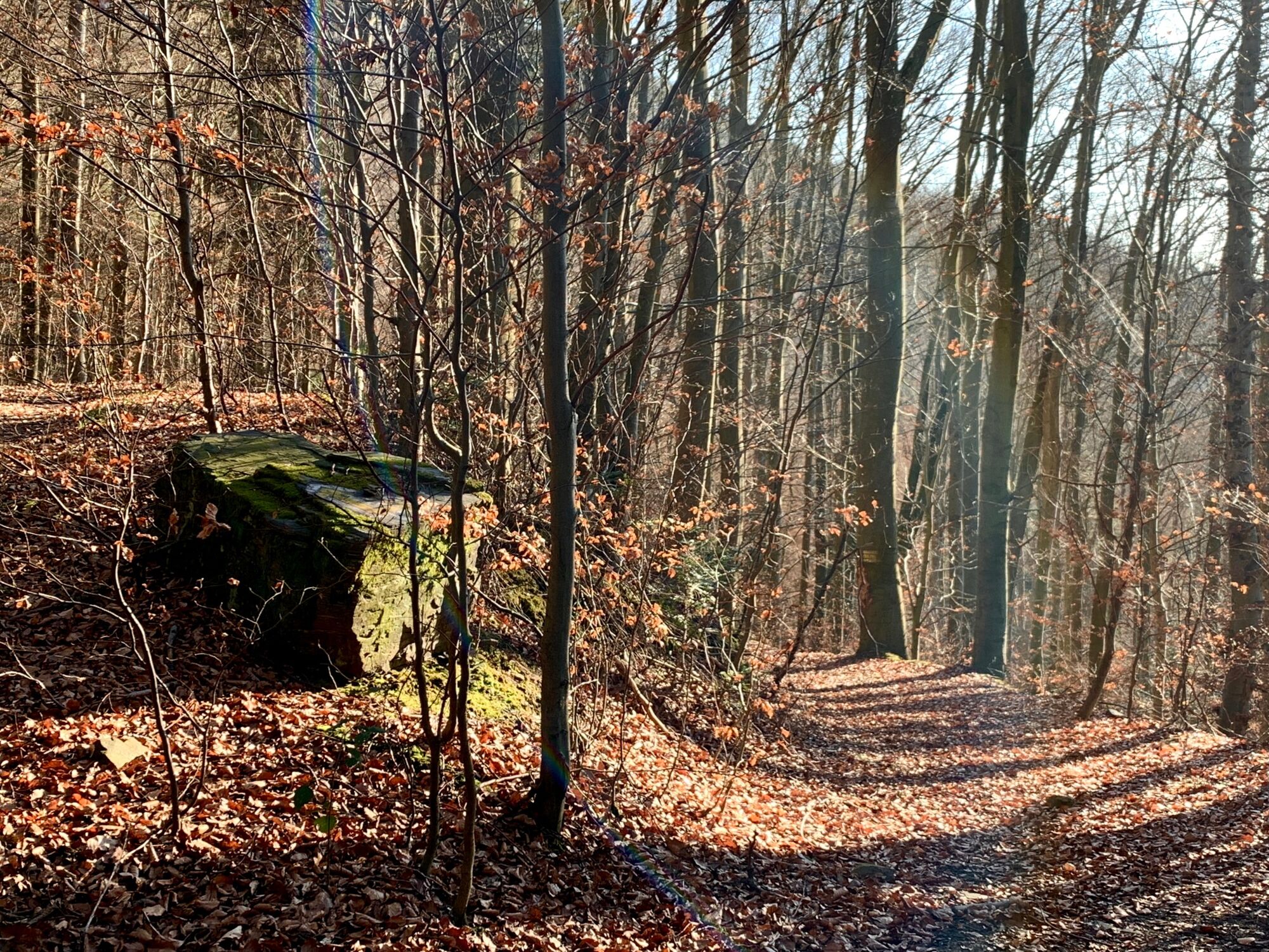
The descent to Spitz follows a narrow path. Initially along the ridge of the Buschandlwand. The marking is yellow. Even before the path unites with the path coming from St. Michael, it becomes wider. Once in the valley, follow the Mieslingbach on the road to the center of Spitz.
- Highest point
- 727 m
- Endpoint
-
Spitz on the Danube
- Height profile
-

- Equipment
-
Good hiking shoes and something to drink as well as a small snack.
- Safety instructions
-
Good walking shoes are recommended, as the path below the Gruberwarte is slippery due to the leaves.
- Tips
-
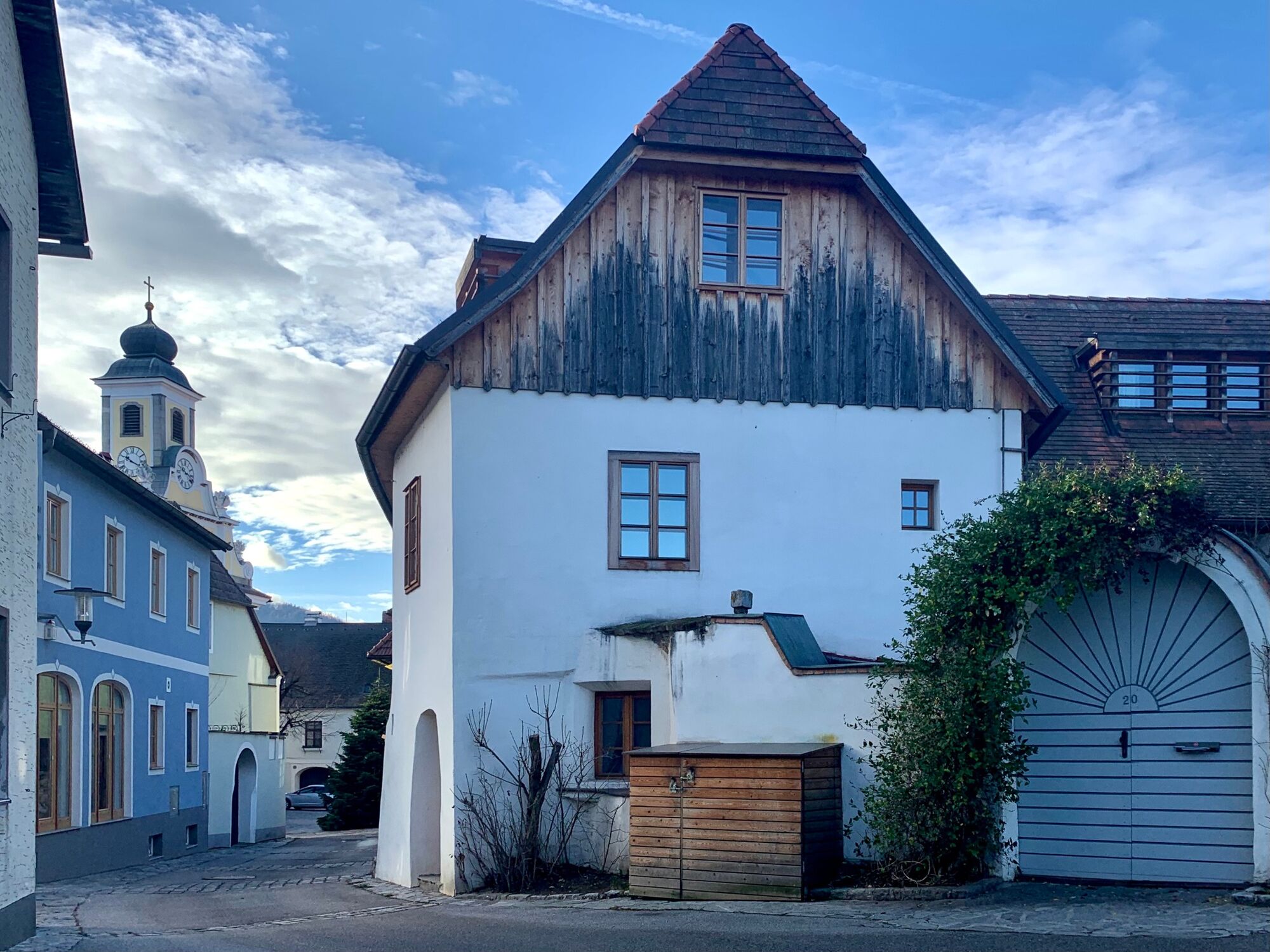
In Wösendorf a late baroque parish church with the altarpiece of the drowning of St. Florian by Martin Johann Schmidt, called Kremser Schmidt.
- Additional information
- Directions
-
By car, leave the A1 in Melk and continue in the direction of Wachau left bank. Drive on the left bank of the Danube in the direction of Krems to Spitz on the Danube. From Vienna take the A22, S5 and B3 to Spitz on the Danube.
- Public transportation
- Parking

-
-
AuthorThe tour Buschandlwand - from Wösendorf in the Wachau to Spitz on the Danube is used by outdooractive.com provided.


General info
-
Donau Niederösterreich
2288
-
Dunkelsteinerwald
1372
-
Spitz an der Donau
605


