
© gert gasperin
© gert gasperin
© gert gasperin
© gert gasperin
© gert gasperin
© gert gasperin
© gert gasperin
© gert gasperin
© gert gasperin
© gert gasperin
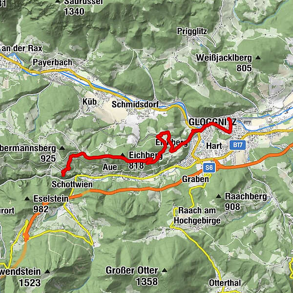
Tour data
9.86km
433
- 777m
395hm
395hm
05:30h
- Brief description
-
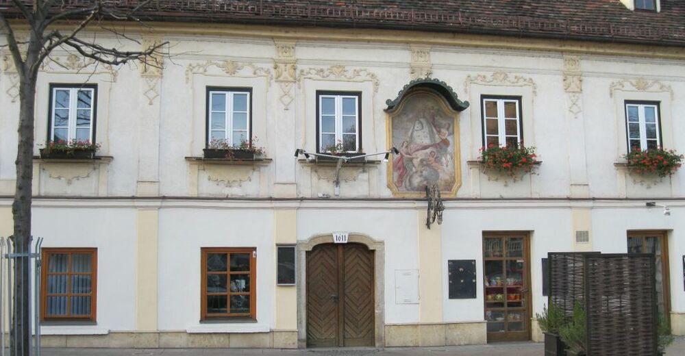
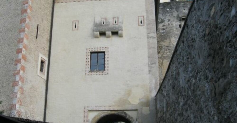
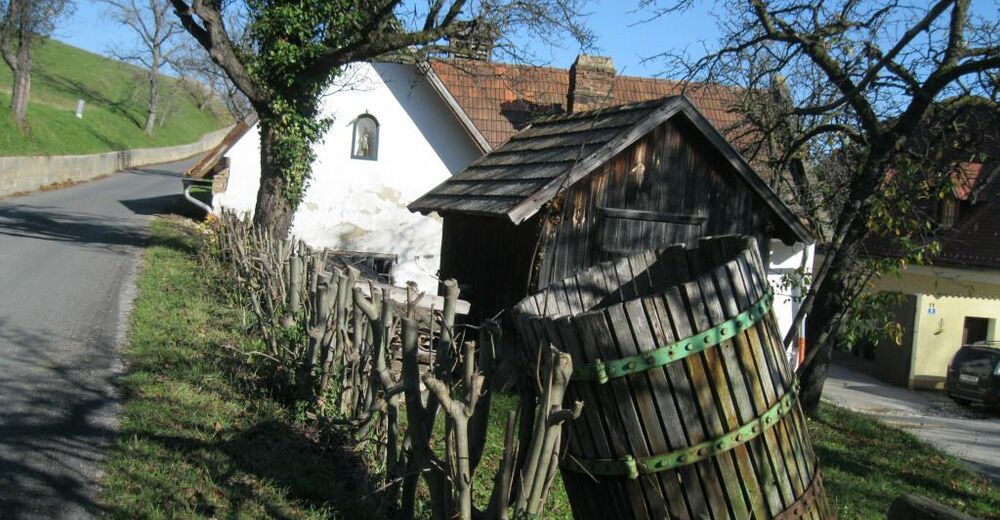
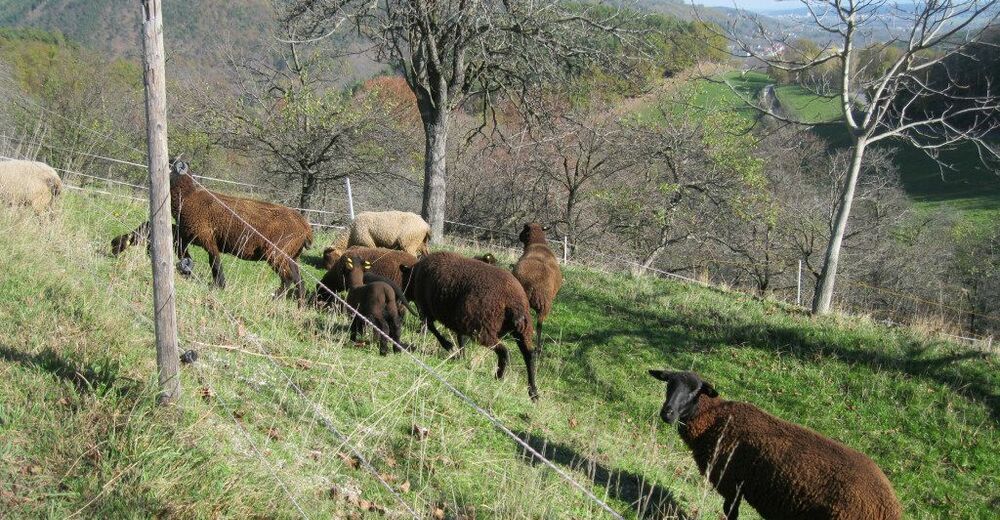
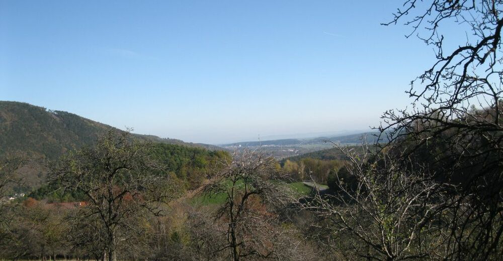
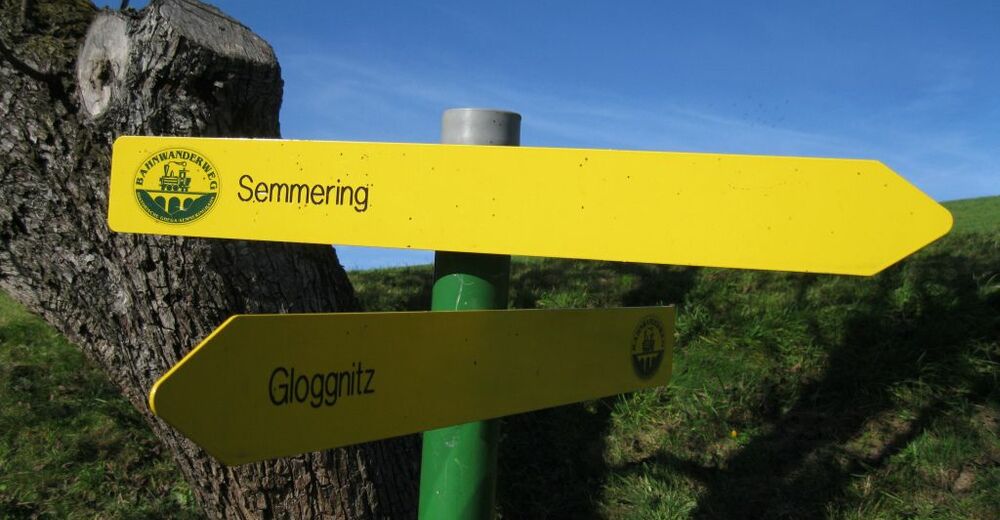
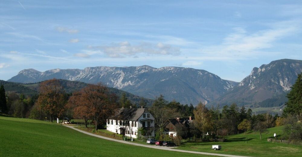
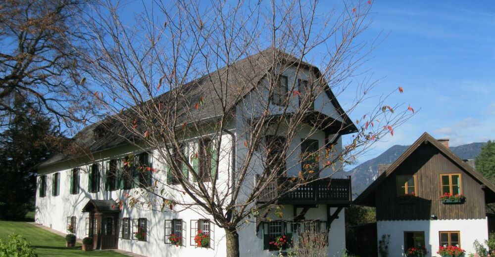
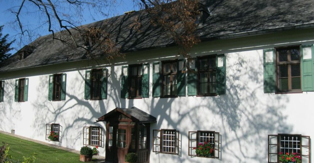
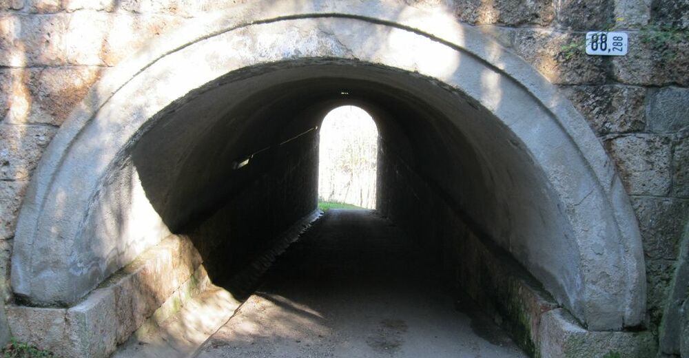
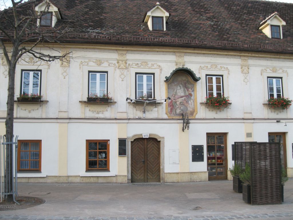
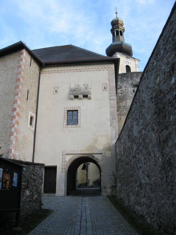
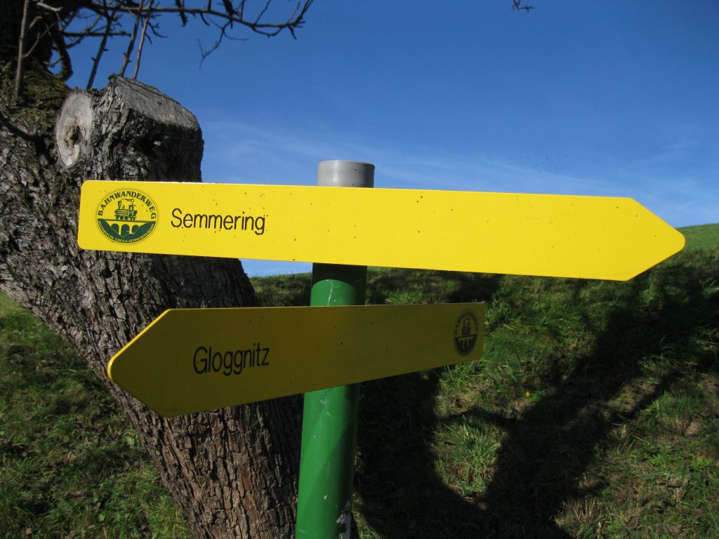
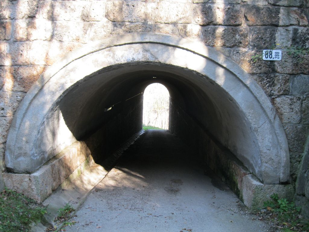
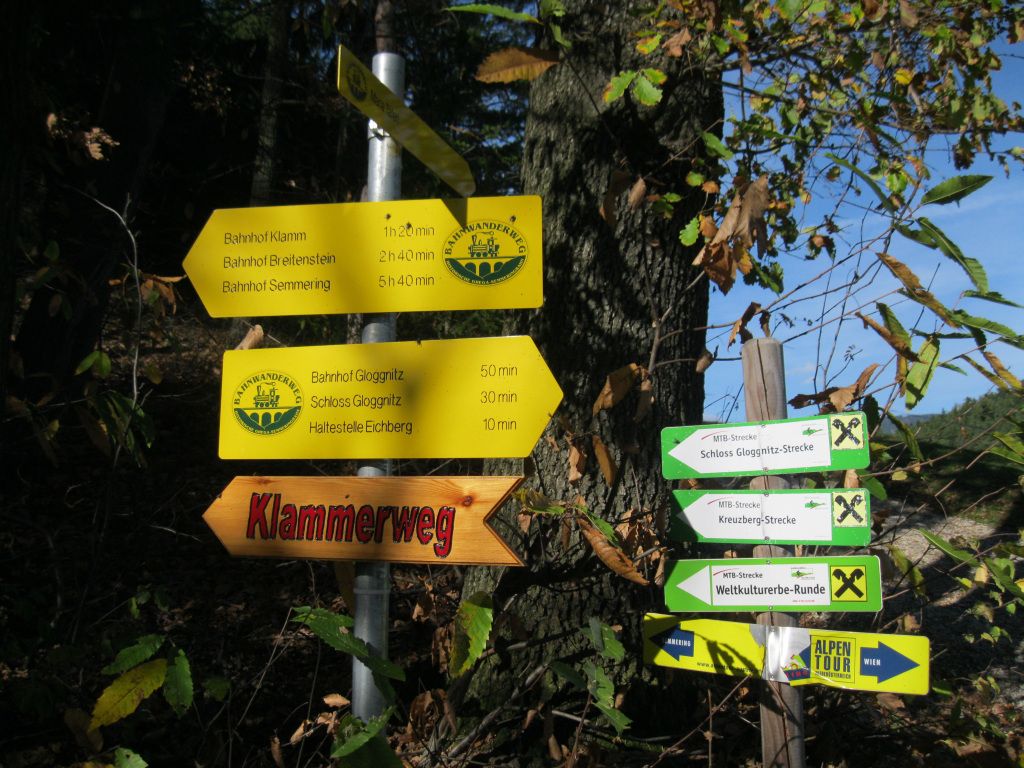
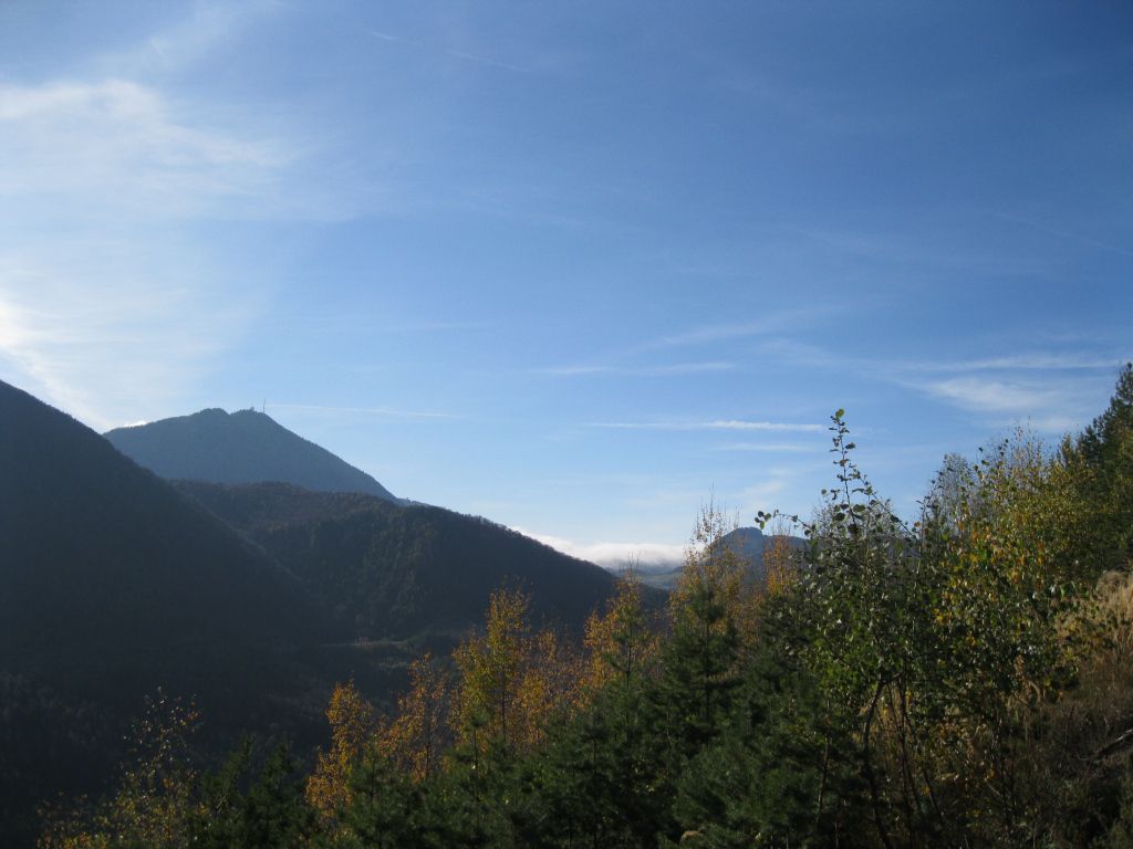
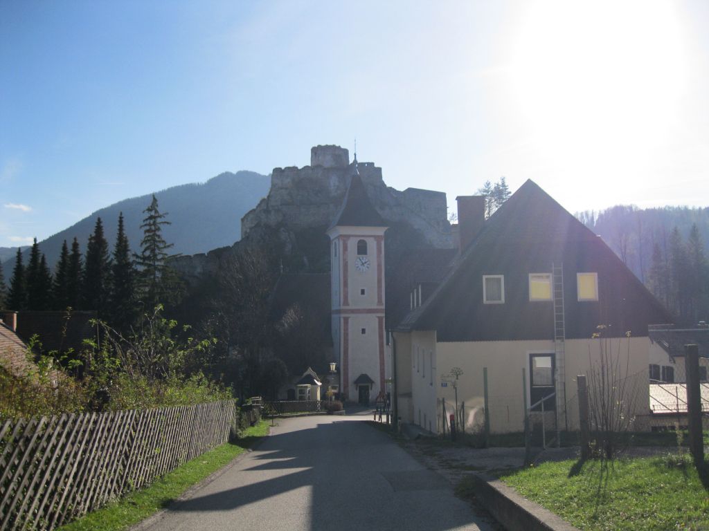
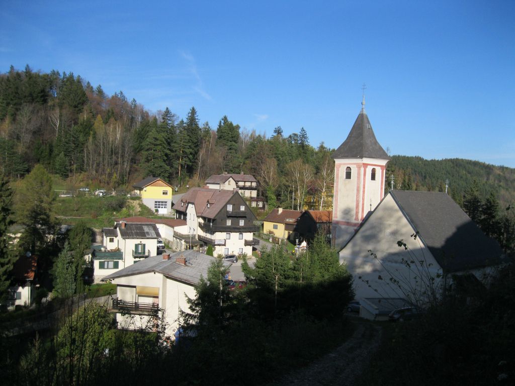
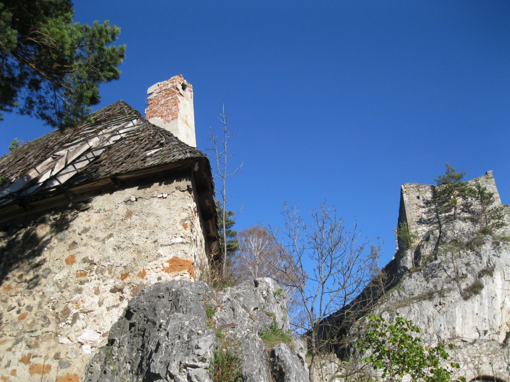
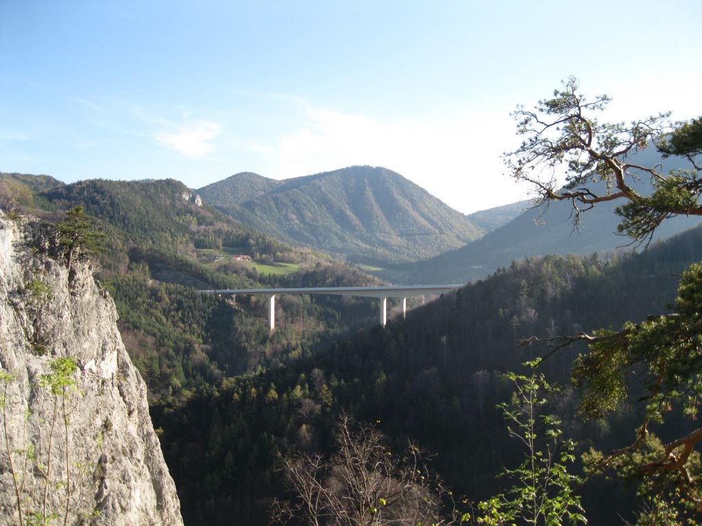
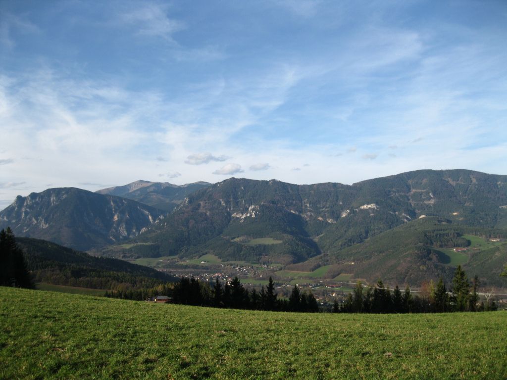
Gloggnitz - Eichberg - Kochhof - Klamm - Ruine Klamm
- Difficulty
-
easy
- Rating
-
- Starting point
-
Bahnhof Gloggnitz
- Route
-
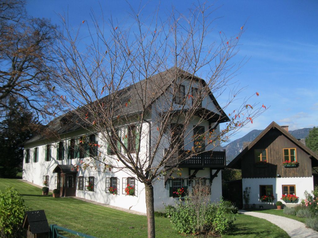
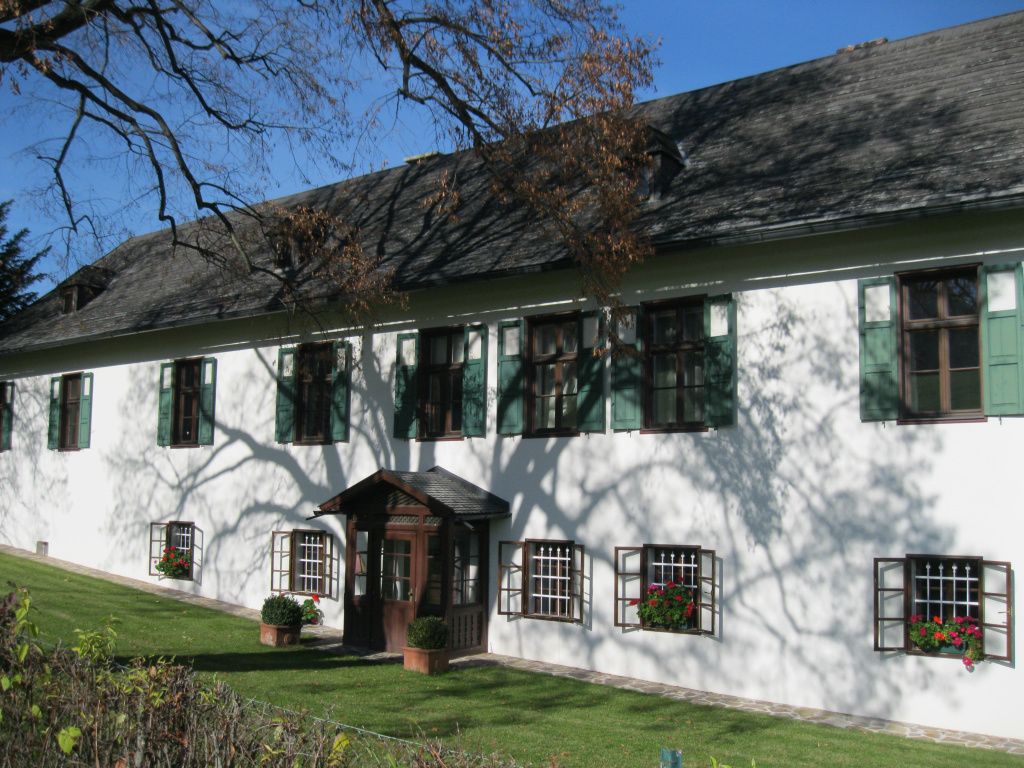
Gloggnitz1.2 kmSt. Othmar Kapelle1.2 kmSchlosskirche Maria Schnee1.9 kmEhrenböck-Kapelle2.8 kmEichberg3.1 kmEichberg4.3 kmSonnwendsteinblick7.5 kmSchneebergblick8.2 kmKlammerkapelle8.5 kmNepomuk-Kapelle9.6 kmKlamm9.6 kmPfarrkirche Klamm9.7 kmRuinentor9.8 km
- Best season
-
JanFebMarAprMayJunJulAugSepOctNovDec
- Highest point
- 777 m
- Endpoint
-
Klamm


GPS Downloads


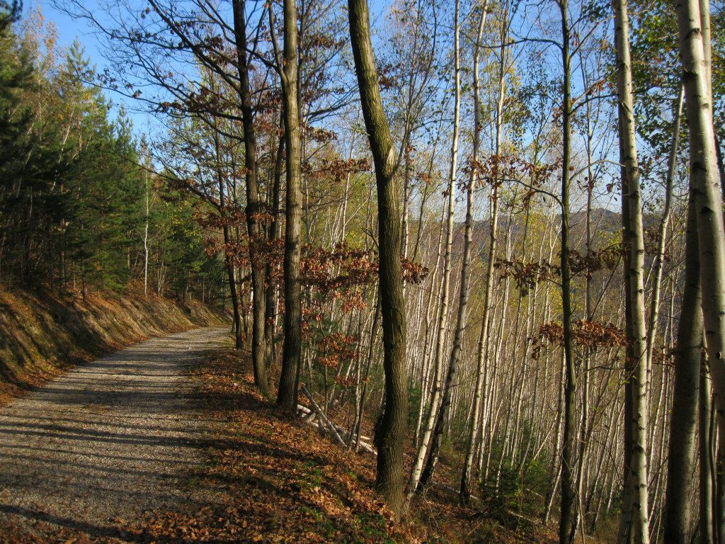
Trail conditions
Asphalt
Gravel
Meadow
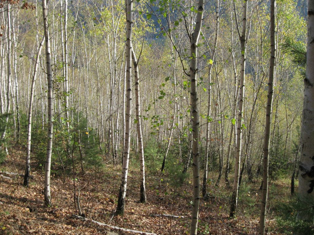
Forest
Rock
Exposed
Other tours in the regions
-
Wiener Alpen
3046
-
Semmering - Rax
2312
-
Gloggnitz
746


