- Brief description
-
The 19th and final stage of the Viennese Alps route (WAB) is accompanied by forests, crags, and caves. The highlight at the end is the village of Bad Fischau with its historic thermal spa which is open all year round.
- Difficulty
-
medium
- Rating
-
- Starting point
-
Markt Piesting, car park in village centre at the information pavilion
- Route
-
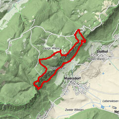
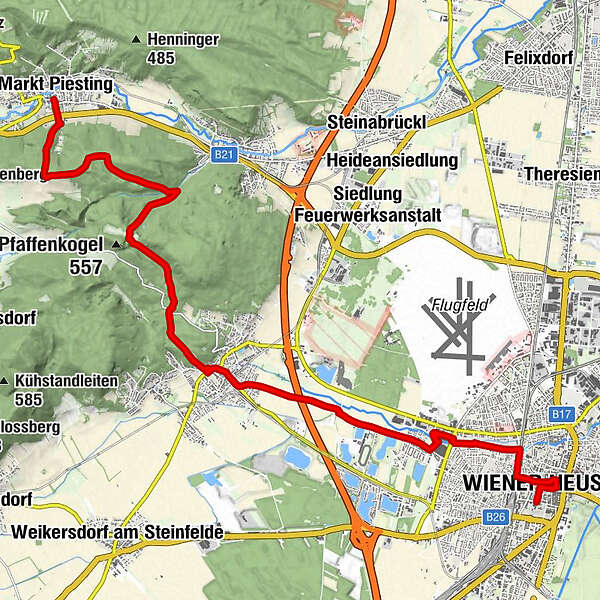
Markt PiestingSchmankerl0.4 kmRotes Kreuz1.5 kmPfaffenkogelhöhle5.5 kmHl. Martin8.3 kmBad Fischau8.6 kmWiener Neustadt (262 m)16.7 km
- Best season
-
JanFebMarAprMayJunJulAugSepOctNovDec
- Description
-
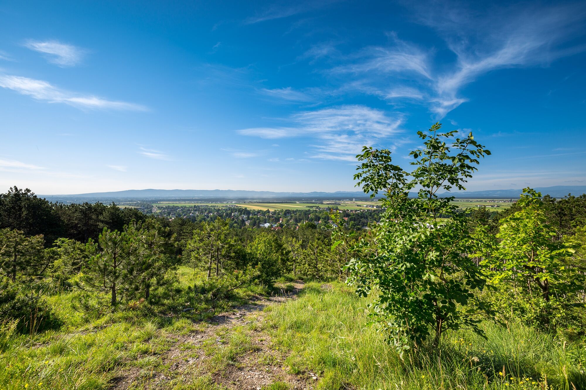
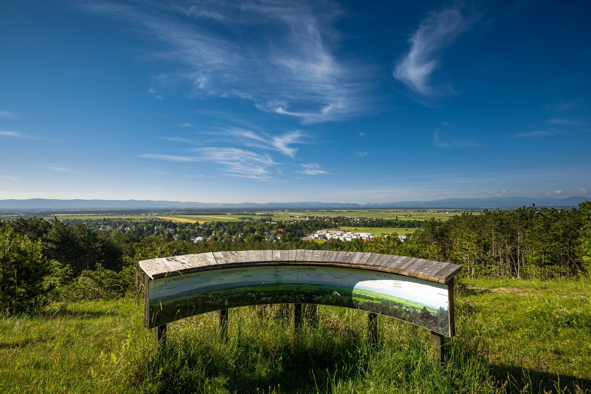
Heading along the precursors to the Hohe Wand, where caves lie hidden and forests gently bend in the wind, we wander out of the Piestingtal valley towards the large Viennese plains. Our gaze wanders over the Viennese Basin, covers the Bucklige Welt, and shows that every alpine range has an end to it. We relax after the hike and take to the crystal-clear waters in the Kristalltherme or enjoy Fischau Castle. The final vantage points of the Viennese Alps Way are the Rotes Kreuz and Blumberg points, which provide a final opportunity to reminisce over the trip.
- Directions
-
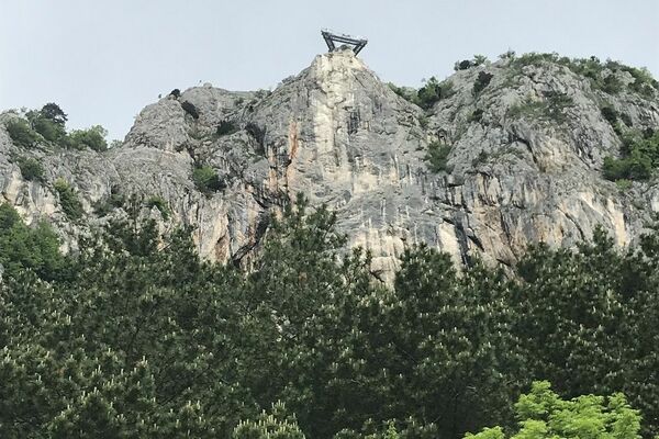
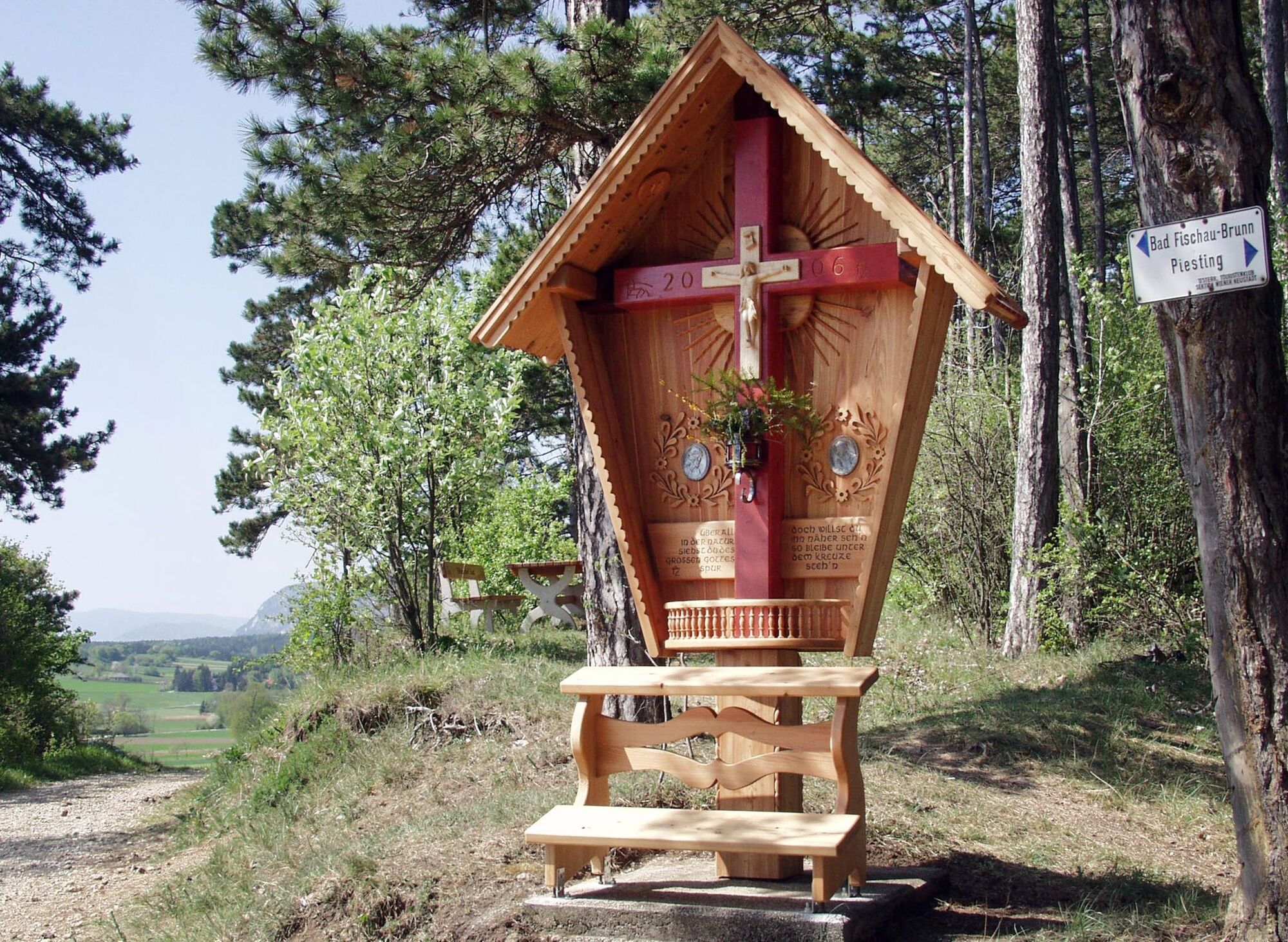
Looking from the Markt Piesting municipal office we veer right past the car park, leave the road and head onto Badgasse as the road turns left, and follow the narrow path uphill below the Bundesstraße. We keep left along a winding road up to the Feuerwehrhaus, and then veer right along the road as it ascends slightly. Waldbad Markt Piesting is on the left, and we turn right onto the designated hiking route after a wayside shrine with wooden shingles. Soon afterwards, we switch over to a narrow forest path on the left-hand side, which goes slightly uphill. This leads to a crossroads at a wayside shrine. We turn left onto a forest path and continue to ascend, amazed at the number of Austrian pine trees that were carved to obtain resin. The designated hiking route guides us past a lay-by and through a pine forest to Rotes Kreuz, where we can take in a nice view of the Hohe Wand.
We turn left at the Rotes Kreuz crossroads onto the forest road in the direction of Bad Fischau then after a few minutes see the Rotes Kreuz vantage point on the right-hand side. Keep left at a fork further along the forest road in the pine forest and follow the blue markings of the Viennese Alps Way. After a brief descent, we come across a crossroads and turn right towards Waldandacht and Marchgraben. The path becomes more demanding before we turn off onto the Pecherlehrpfad route and continue walking downhill. We cross a stream on a wooden walkway, lead left towards a children’s playground, see a four-seat bicycle mounted on a spruce and turn right onto a forest road marked out in blue. This leads to a clearing with barriers on the left, however we go left of all these barriers and onto the forest path. We follow these uphill through increasingly dense coniferous forest until the markings guide us left at a fork that is not particularly visible. A high point is reached on rather overgrown paths, then we turn right onto an uphill path that is marked out in blue and goes through a ditch. We go past a game enclosure and head straight across an expansive meadow in front of us, then follow the forest road downhill towards Bad Fischau. Designated forest paths lead us downhill to a road. We cross this veering to the left, then follow the occasionally narrow forest path slightly downhill to a wooden hillside shelter with resting areas. The Waldlehrpfad route is crossed over several times during the descent to Bad Fischau. When close to the Kaisereiche we can ascent to the Blumberg vantage point, which is the last one on the Viennese Alps Way.
We ignore the elephant playground on the right-hand side and reach a car park at the start of the Waldlehrpfad route, then turn left onto the road soon after it. After going past the Gadenkeller, we reach the centre of Bad Fischau near the Fischauer Thermalbad. The 19th and last stage of the Viennese Alps ends here.
- Highest point
- 516 m
- Endpoint
-
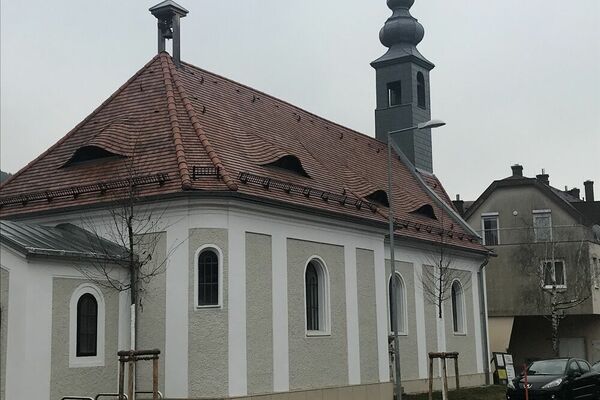
Kirchenplatz, Bad Fischau
- Height profile
-

- Equipment
-
Always bring suitable maps. Always wear appropriate, sturdy footwear, bring sun and rain protection and water, as well as a little something to eat. Bring your mobile phone with you and save the mountain rescue emergency number: 140
- Safety instructions
-
Your hiking experience in the Vienna Alps should be a thoroughly enjoyable and safe one. Therefore, please bear the following in mind:
Preparation
When choosing a route, make sure it corresponds to your experience and physical fitness level. Check the weather forecast before you set off. The weather can change surprisingly quickly in the mountains. Always take appropriate equipment with you (e.g. rain protection).
Check whether the cabins and snack stations you intend to visit along the way are open. Inform someone before you set off of your chosen route and when you plan to return.
- Tips
-
The Hubertushof Fromwald is an option for eating or staying overnight during this section. Before leaving Bad Fischau, head over to the Schneebergland Genussladen shop for some regional delicacies.
- Additional information
- Directions
-
If you are coming from Vienna or Graz via the A2, leave the motorway at the Wöllersdorf exit and when on the B21, follow the signs to Markt Piesting.
- Public transportation
- Parking
-
Car parking is available at the Markt Piesting municipal office.

- Author
-
The tour WAB - Stage 19: Markt Piesting - Bad Fischau is used by outdooractive.com provided.


-
Wienerwald
4214
-
Schneebergland - Wiener Alpen
2455
-
Bad Fischau - Brunn
603