


- Brief description
-
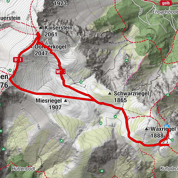
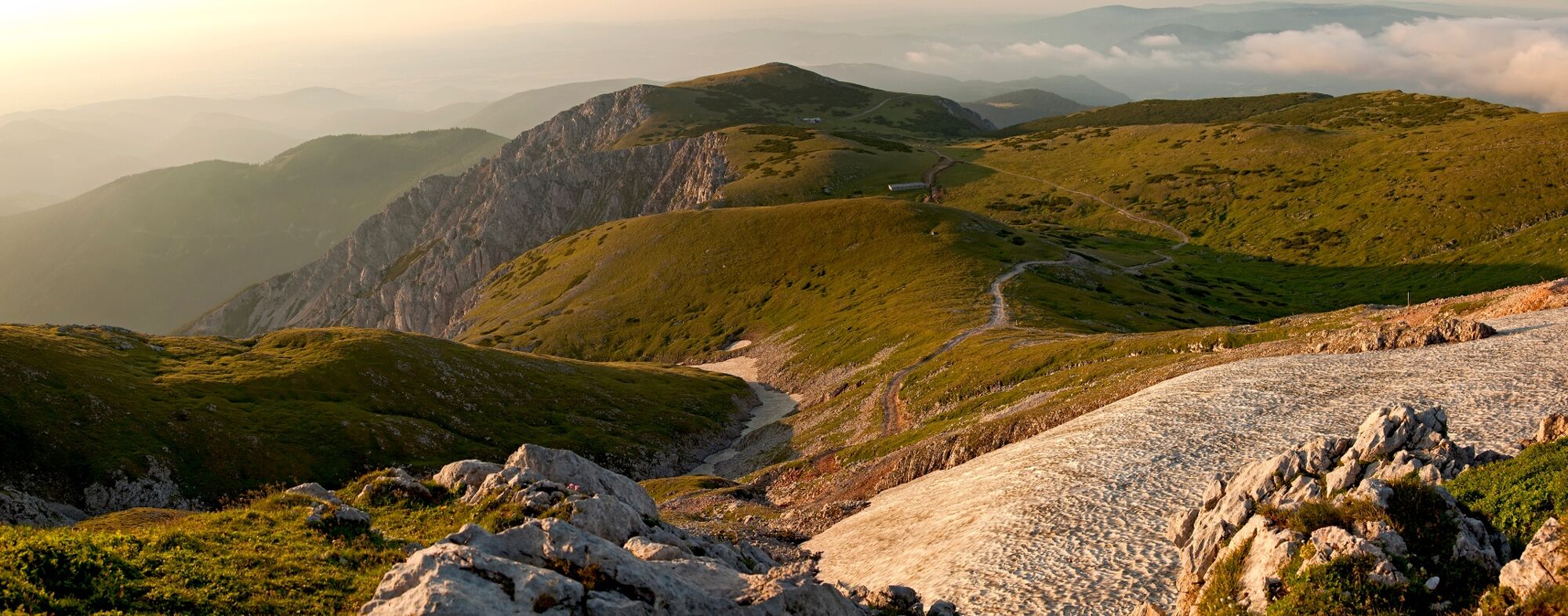
The hiking route from the Schneeberg plateau at an altitude of 1800m, to the summit of Klosterwappen, 2075m above sea level.
- Difficulty
-
medium
- Rating
-
- Starting point
-
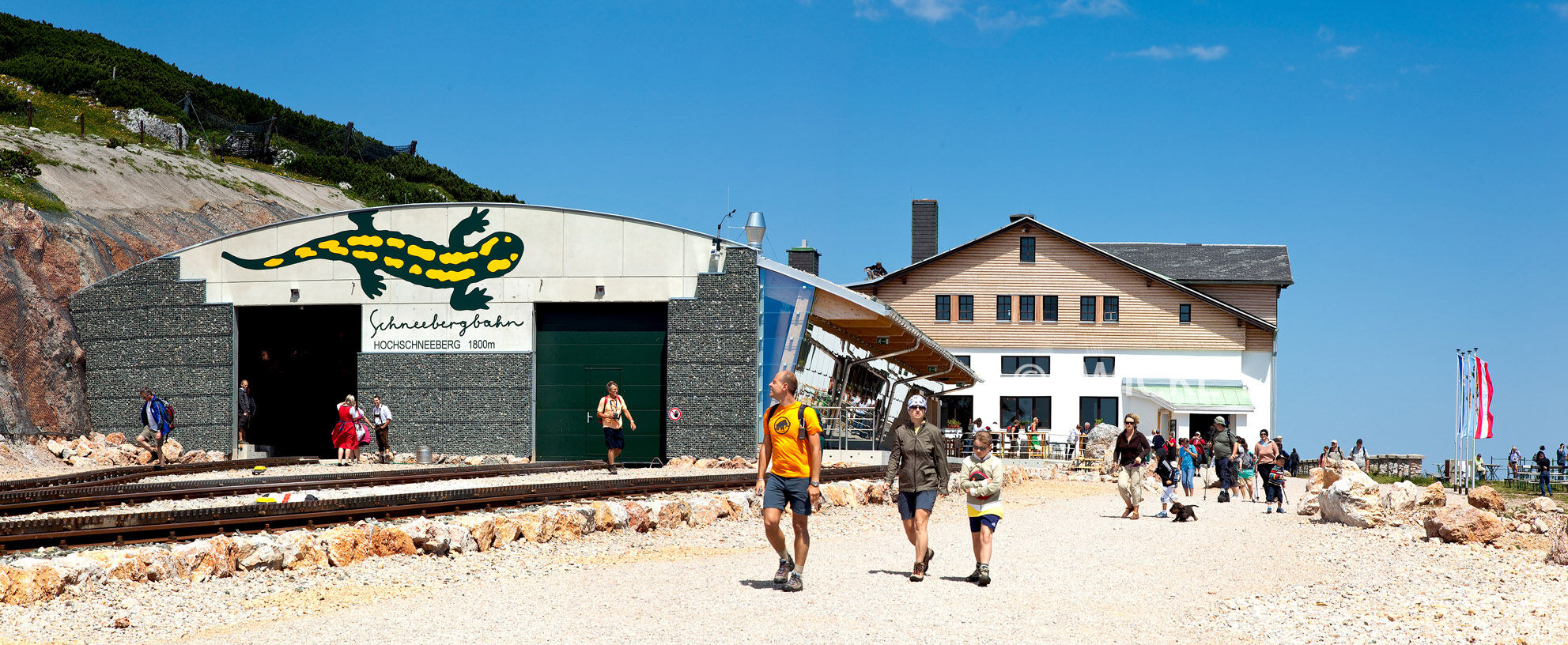
Schneeberg Railway summit station
- Route
-
Hochschneeberg Bergbahnhof (1,796 m)Damböckhaus1.2 kmMiesriegel (1,907 m)2.3 kmKlosterwappen (2,076 m)3.2 kmDonnerkogel (2,047 m)3.8 kmKaiserstein (2,061 m)4.0 kmFischerhütte4.0 kmDurchgangshöhle4.2 kmOchsenboden5.3 kmDamböckhaus6.2 kmHochschneeberg Bergbahnhof (1,796 m)7.2 km
- Best season
-
JanFebMarAprMayJunJulAugSepOctNovDec
- Description
-
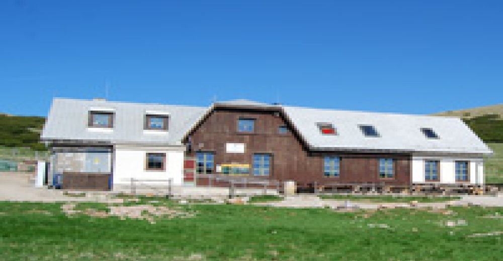
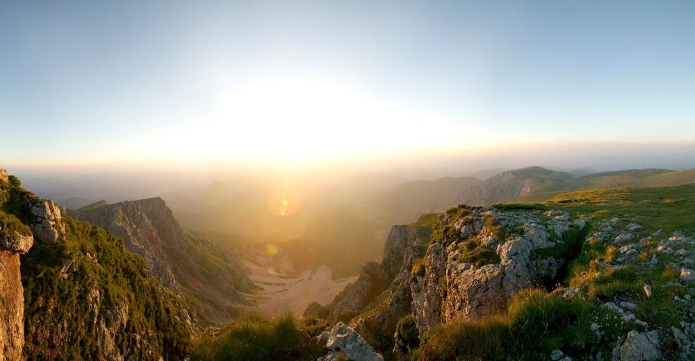
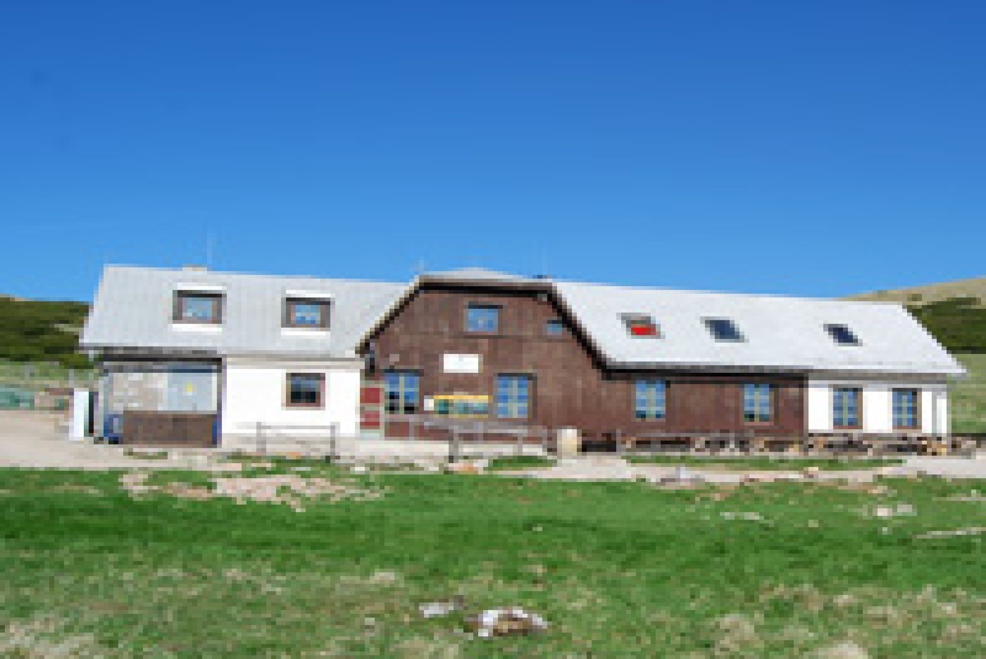
Climb to the summit of the Schneeberg, the highest mountain in Austria, during this mountain trail tour. Make the journey to the starting point at the summit station of the Schneeberg Railway either comfortably by train, or by hiking from Puchberg after taking the funicular railway. Start by enjoying the breathtaking views from the summit station and visit the mountain inn, the TOP ART 1800 gallery in the summit station, or the Elisabethkircherl (Elizabeth Church). Then the hike can start. Before you reach the summit, call in at the Damböckhaus. Via the Ochsenboden, proceed to the Klosterwappen, which at 2075m above sea level is the highest point in Lower Austria. Once you have enjoyed this feeling and the view, head a few metres downhill, where you can recover in the Fischerhütte. On the way back, pass the Damböckhaus again, and head to the summit station. A true visual paradise!
Anyone who wants to continue hiking from the Schneeberg summit can do so by following part of the route through the Viennese Alpenbogen!
- Directions
-
We will follow the green signs to the Damböckhaus, and then continue until we reach the summit cross. The yellow signs lead us to the Klosterwappen, the Schneeberg summit (2075m). We will go along the Schneeberg mountain ridge, to the Kaiserstein and the Fischerhütte. Following the green signs, we will return to Ochsenboden and the summit station.
- Highest point
- 2,056 m
- Endpoint
-
Schneeberg Railway summit station
- Height profile
-

- Equipment
-
Bring a suitable map. Wear suitable, sturdy shoes, and bring sun and rain protection, as well as water and a bite to eat. Bring your mobile phone, and save the emergency number of the mountain rescue team: 140
- Safety instructions
-
Walking in the Viennese Alps should be a completely safe and beautiful experience. Therefore, please note the following:
Preparation
Make sure that your choice of route matches your hiking experience and your physical condition. Check the weather forecast. In the mountains, the weather can change surprisingly quickly. For this reason, make sure you are well-equipped (e.g. bring rain protection).
Check that the huts and refreshment stations that you want to visit along the way will be open. Tell someone which route you have chosen, and when you hope to return, before you set off.
Tours of the plateau are not recommended in fog and strong winds!
- Tips
-
Combine your walk with a stay in Puchberg. For example in the hiking establishment Hotel Restaurant Forellenhof, or Pension Bruckerhof, in the “Geniesserzimmer” (elaborate guest rooms) of the Hotel Schneeberghof, or in the Wellness Kneipp-Kurhotel Wanzenböck.
- Additional information
- Directions
-
Travelling from Vienna:
Go down the A2 motorway towards Wiener Neustadt, until the Wiener Neustadt West exit. Go along the B26 main road towards Puchberg am Schneeberg. The route is very well signposted.
Travelling from Graz:
Go down the A2 motorway towards Vienna, until the Neunkirchen West exit. Go along the B26 main road towards Puchberg am Schneeberg. Follow the signs. Travel from Puchberg to Hochschneeberg with the Schneeberg Railway. - Public transportation
- Parking
-
Parking facilities at Puchberg am Schneeberg station.


-

-
AuthorThe tour Hochschneeberg/Klosterwappen plateau hike is used by outdooractive.com provided.


General info
-
Hochsteiermark
4078
-
Semmering - Rax
2311
-
Reichenau / Rax - Raxalpe
935


