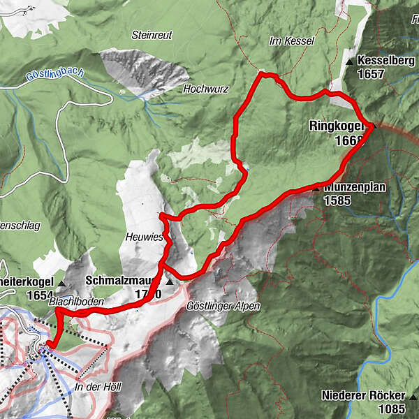
Hochkar - Schmalzmauer - Geißhöhe - Ringkogel - Schwarzalmhütte - Brunneckerhütte

Hiking
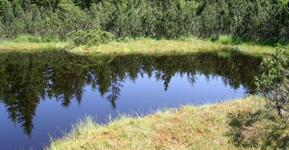
© Tourismusverein Göstlinger Alpen
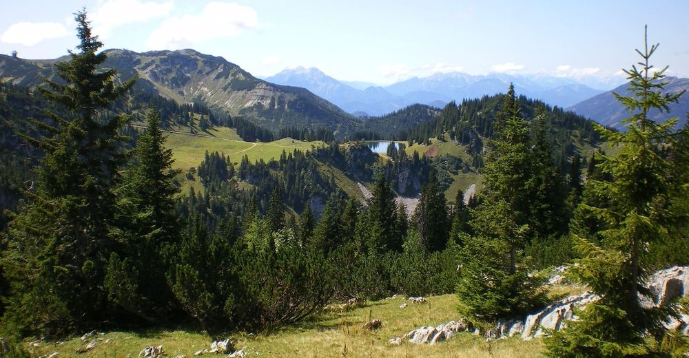
© Tourismusverein Göstlinger Alpen
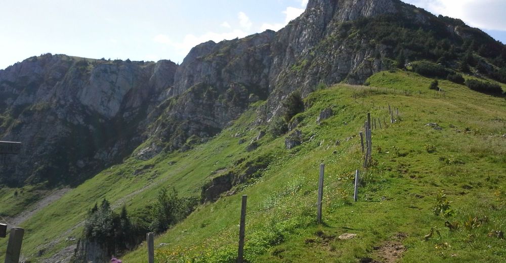
© Tourismusverein Göstlinger Alpen
© Tourismusverein Göstlinger Alpen
© Tourismusverein Göstlinger Alpen
Tour data
13.18km
1,378
- 1,697m
770hm
768hm
06:00h
- Brief description
-
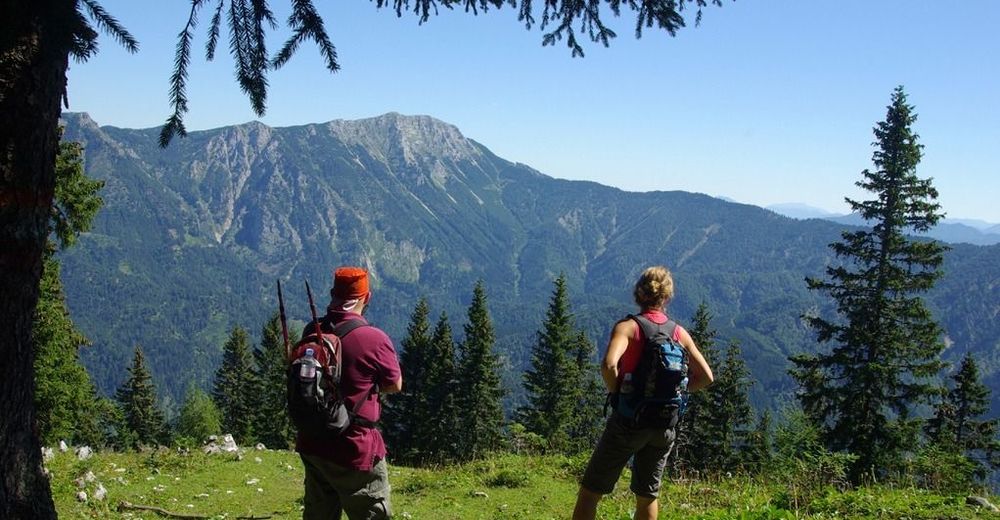
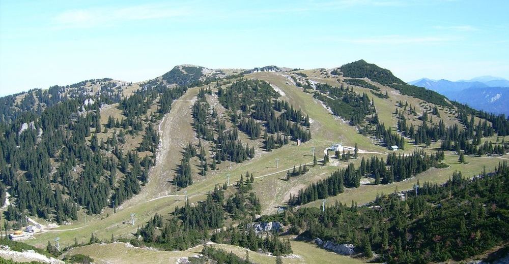
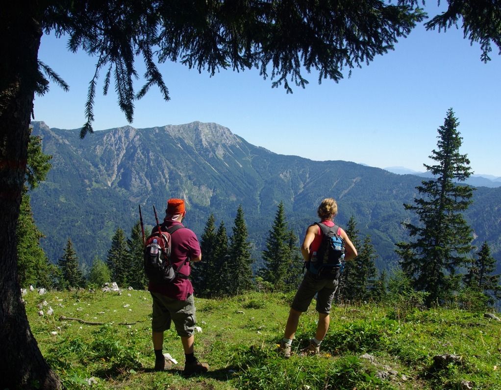
Schöne Rundwanderung am Hochkar.
- Difficulty
-
medium
- Rating
-
- Starting point
-
Hochkar-Schutzhaus
- Route
-
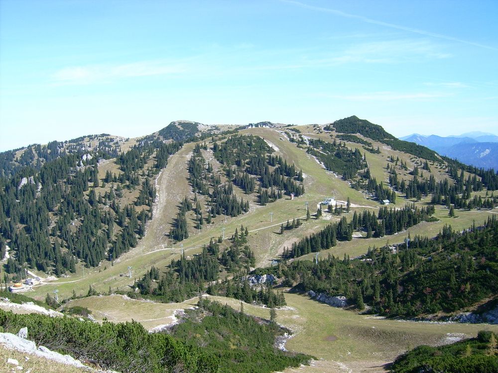
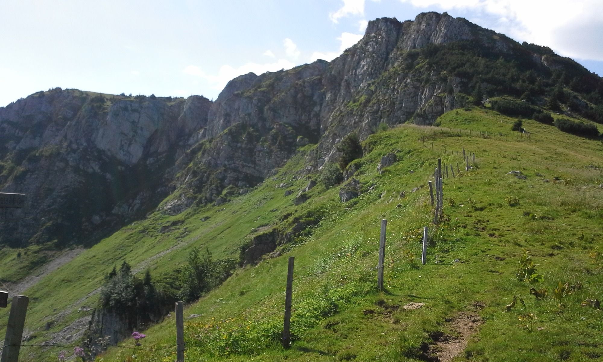
Schmalzmauer (1,759 m)2.5 kmGeißhöhe (1,648 m)3.8 kmMunzenplan (1,585 m)4.6 kmRingkogel (1,668 m)5.7 kmSchwarzalmhütte7.5 kmBrunnecker Hütte9.6 km
- Best season
-
JanFebMarAprMayJunJulAugSepOctNovDec
- Highest point
- 1,697 m
- Rest/Retreat
-
Schutzhaus Hochkar, Schwarzalmhütte vom 15. Juni bis 15. September bewirtschaftet.
- Ticket material
-
Göstlinger Wanderkarte oder Wanderführer "Lust aufs Wandern"

GPS Downloads


Trail conditions
Asphalt
Gravel
Meadow
Forest
Rock
Exposed
Other tours in the regions
-
Erzberg Leoben
2528
-
Hochschwab
1273
-
Hochkar
223