© ZWalk.at

© ZWalk.at

© ZWalk.at
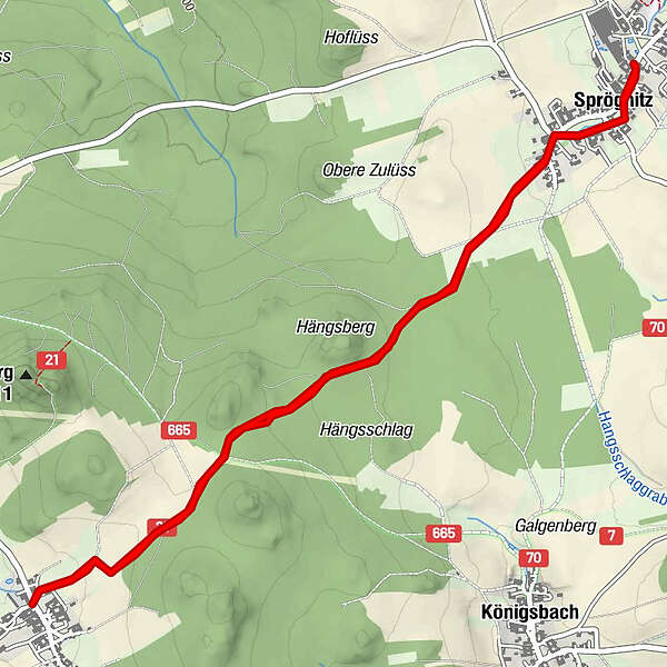
Tour data
6.68km
704
- 774m
71hm
02:00h
- Brief description
-
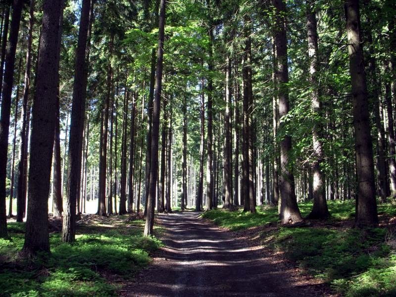
Die Tour führt durch eine typische, leicht hügelige Waldviertler Landschaft. Es geht durch Felder, Wiesen und Wälder, die sich ständig abwechseln.
- Difficulty
-
easy
- Rating
-
- Starting point
-
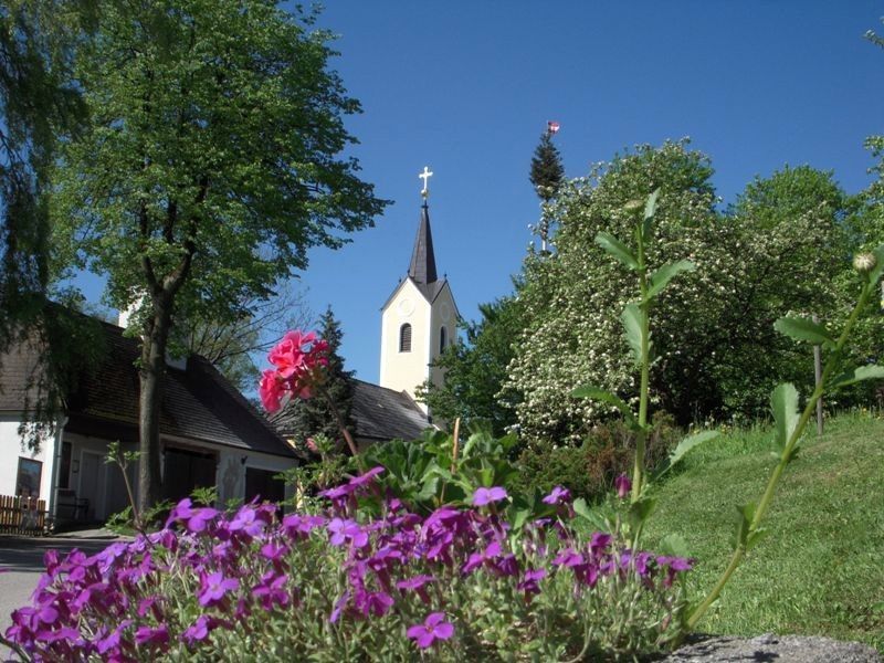
Sprögnitz
- Route
-
Sprögnitz0.3 kmAubergfeld2.5 kmEngelbrechts3.3 kmSprögnitz6.3 km
- Highest point
- 774 m
- Source
- ZWalk
GPS Downloads


Trail conditions
Asphalt
Gravel
Meadow
Forest
Rock
Exposed
Other tours in the regions
-
Waldviertel
1776
-
Waldviertel Mitte
1247
-
Großgöttfritz
279