

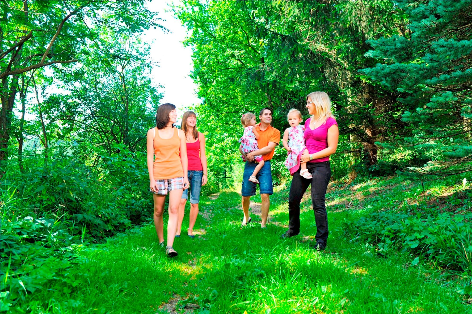
© Gemeinde Lichtenau - Destination Waldviertel

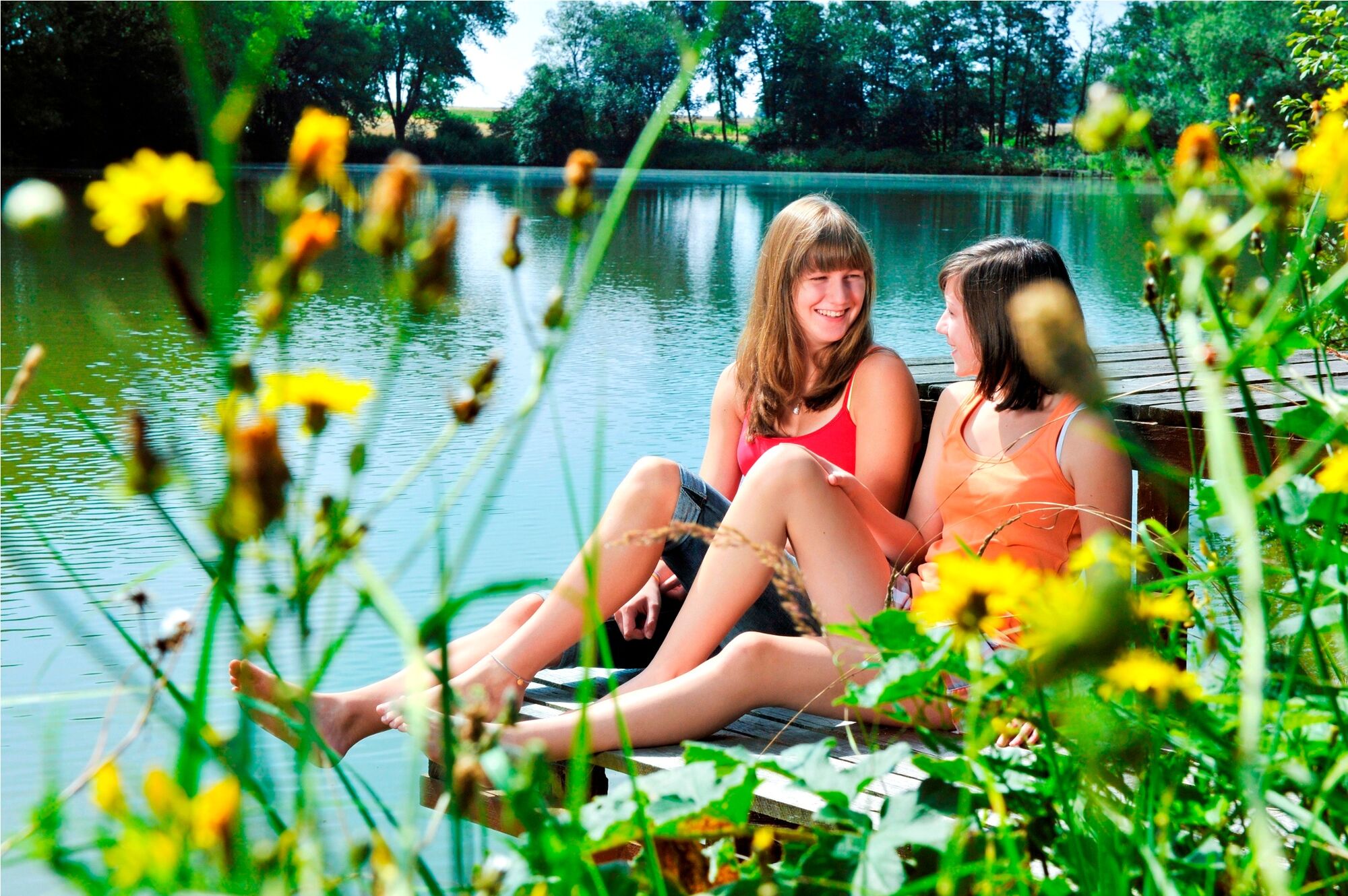
© Gemeinde Lichtenau - Destination Waldviertel

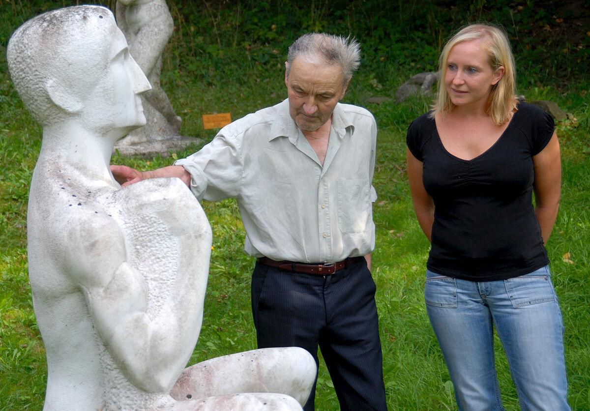
© Gemeinde Lichtenau - Destination Waldviertel

- Difficulty
-
medium
- Rating
-
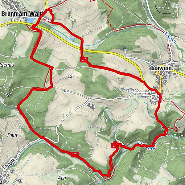
- Route
-
Gasthof Schindler0.1 kmBrunn am Wald0.4 kmHubertuskapelle0.5 kmPfarrkirche hl. Johannes5.9 kmLoiwein6.1 kmBrunn am Wald8.1 km
- Best season
-
JanFebMarAprMayJunJulAugSepOctNovDec
- Highest point
- 630 m
- Endpoint
-
Parkplatz bei GH Schindler
- Height profile
-

- Author
-
The tour Historischer Weg und "Orte der Kraft" is used by outdooractive.com provided.
GPS Downloads


General info
Refreshment stop
Other tours in the regions
-
Donau Niederösterreich
2289
-
Waldviertel Mitte
1247
-
Lichtenau im Waldviertel
328


