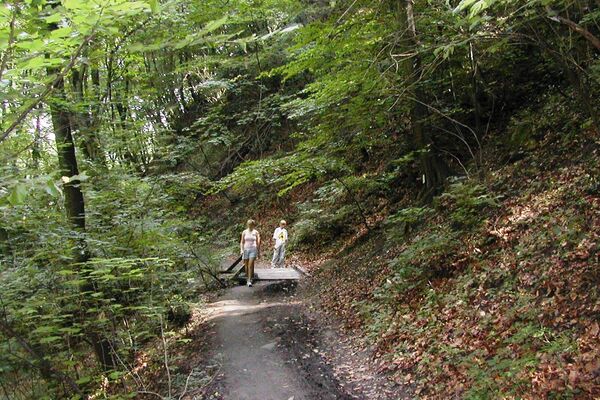
© Weinviertel Tourismus / Mandl


- Brief description
-
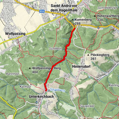
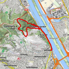
Start / Ziel: Schleinbach
- Difficulty
-
medium
- Rating
-
- Route
-
Schleinbach1.0 kmSchleinbach7.4 kmSchleinbach8.2 km
- Highest point
- 365 m
- Endpoint
-
Schleinbach Bahnhof
- Height profile
-

- Author
-
The tour »tut gut« Wanderweg Ulrichskirchen-Schleinbach | Route 3 is used by outdooractive.com provided.
GPS Downloads


General info
Refreshment stop
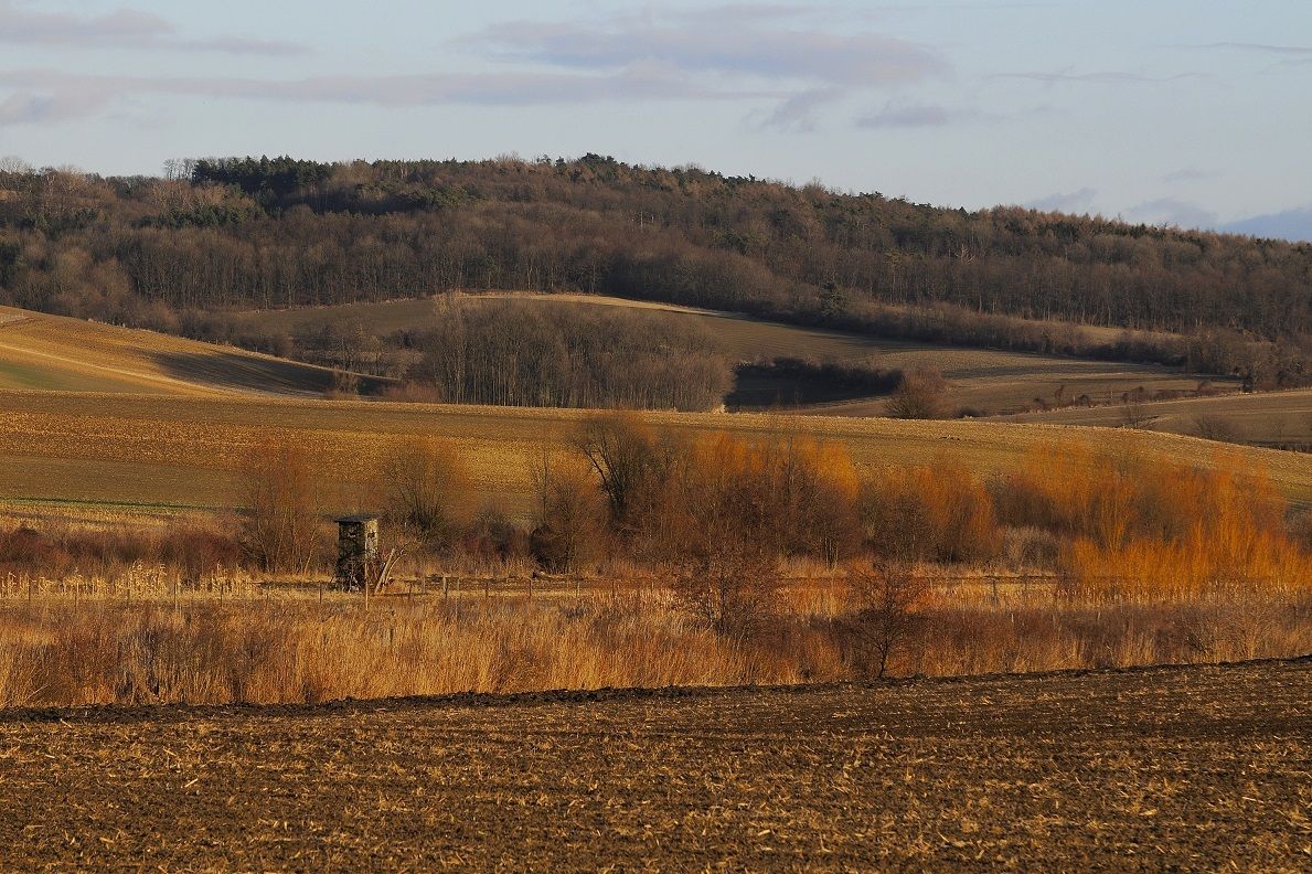
A lot of view
Other tours in the regions
-
Weinviertel
943
-
Leiser Berge
377
-
Ulrichskirchen-Schleinbach
180