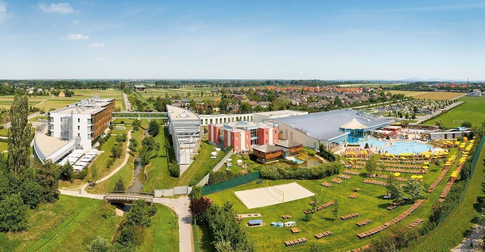
© Therme Laa

- Brief description
-
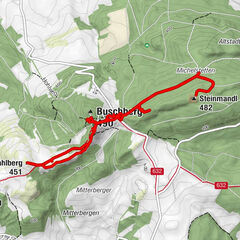
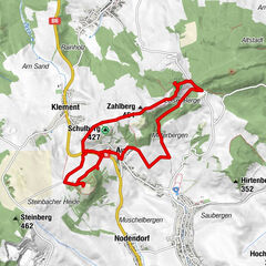
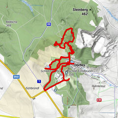
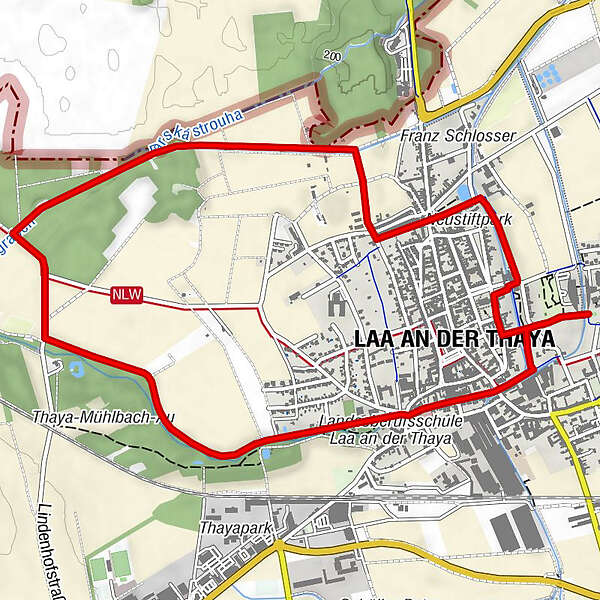
Start / Ziel: Laa/Thaya
- Difficulty
-
easy
- Rating
-
- Route
-
Hanfthaler Frauenbild2.6 kmSt. Vitus6.2 kmLaa an der Thaya (183 m)6.3 km
- Highest point
- 183 m
- Endpoint
-
Thermenhotel Laa/Thaya
- Height profile
-


- Author
-
The tour »tut gut« Wanderweg Laa/Thaya | Route 2 is used by outdooractive.com provided.
GPS Downloads


General info
Refreshment stop
A lot of view
Other tours in the regions
-
Weinviertel
943
-
Land um Laa a. d. Thaya
246
-
Laa an der Thaya
18