© Heigl

© Heigl

© Heigl
- Brief description
-
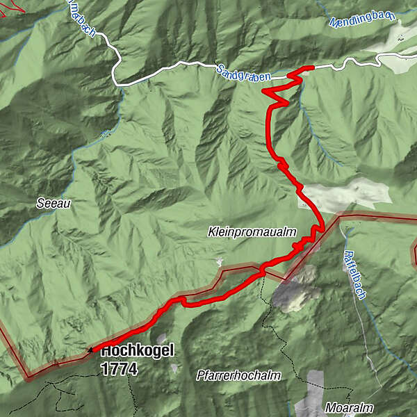
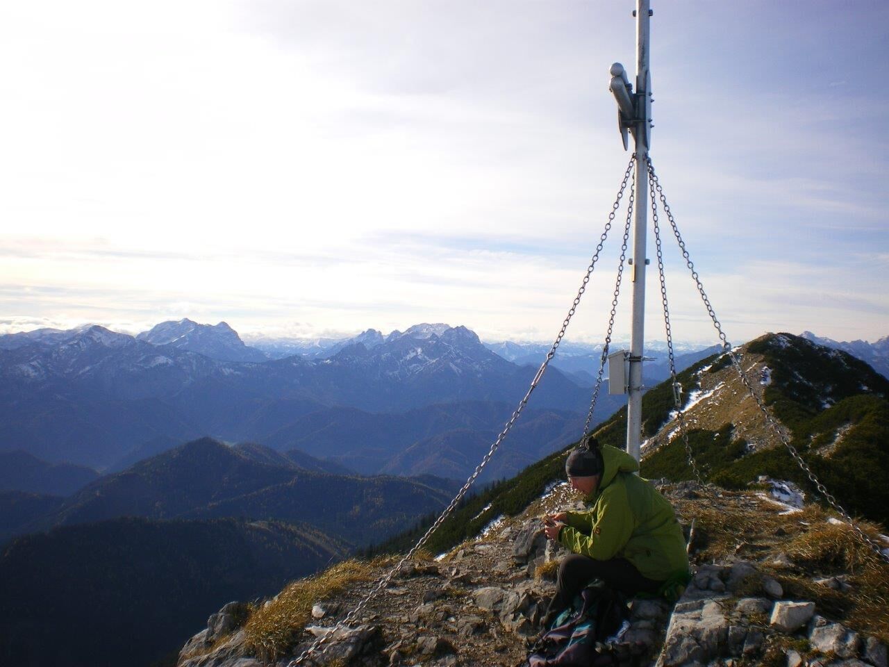
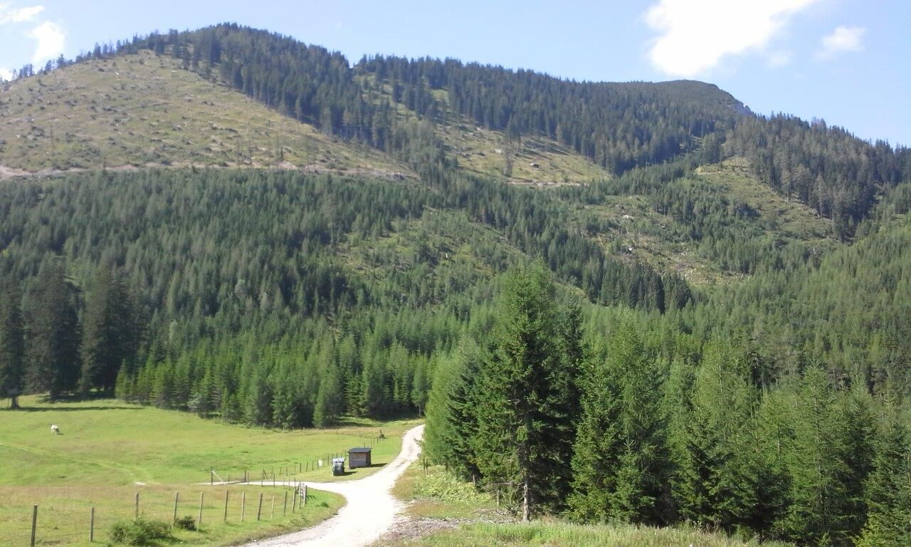
Schöne Bergtour entlang der niederösterreichisch-steirischen Grenze: vom Sandgraben bis zum höchsten Punkt des Gamssteins (dem Hochkogel) auf 1770 Metern Seehöhe.
- Difficulty
-
medium
- Rating
-
- Route
-
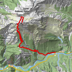
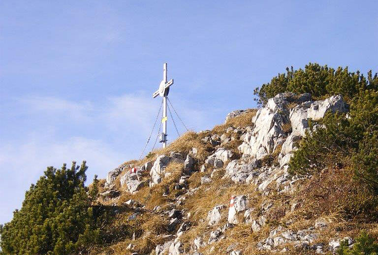
Hochkogel (1,774 m)7.6 km
- Best season
-
JanFebMarAprMayJunJulAugSepOctNovDec
- Highest point
- 1,756 m
- Endpoint
-
Gamsstein (Hochkogel)
- Height profile
-

- Author
-
The tour Gamsstein-Tour is used by outdooractive.com provided.
GPS Downloads


General info
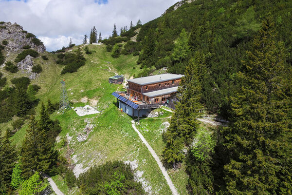
A lot of view
Other tours in the regions
-
Gesäuse
2223
-
Hochschwab
1272
-
Hollenstein an der Ybbs
218